アルテナラの峠・トップ20
風景を楽しんだり、上りや下りを満喫したり、峠には楽しみ方がたくさんあります。アルテナラの素晴らしい峠の一覧を参照して、思い出に残るアドベンチャーに出かけましょう。コミュニティのメンバーがコミュニティのために投稿した峠のハイライトは、他のユーザーが実際におすすめする情報なので、どれも信頼できるものです。気に入った峠にさっそく向かってみましょう。
最終更新日: 9月 8, 2026
クルス・デ・テヘダ
ハイライト • 山道
翻訳を表示中
役立つ情報 は

タウロ峠のつづら折り道路
ハイライト (セグメント) • 山道
However, then you have the agony of choice on the pass: The road down to Soria is …
翻訳者 Google •
役立つ情報 は

今すぐサインアップして、こんな場所を発見しよう
最高のシングルトラック、ピーク、その他のエキサイティングなアウトドアスポットのおすすめを受け取ろう。
GC-605 山岳ヘアピンカーブ
ハイライト • 山道
翻訳者 Google •
役立つ情報 は

サン・バルトロメからアヤカタへの道路
ハイライト (セグメント) • サイクリングロード
役立つ情報 は

Degollada de la Cruz Grande 展望台
ハイライト • 展望台
翻訳者 Google •
役立つ情報 は

無料でサインアップして、さらに多くの山道を発見しましょう アルテナラでの。
すでにアカウントをお持ちですか?





コミュニティからのヒント

The condition of the road is very bad… not recommended for racing bikes!
0
0
The entire route is freshly paved. A dream.
1
0

Potholes were filled with cement and a shovel, now everything is uneven. Up is OK, down is a nightmare
1
0

From here you can go hiking, there is a public car park nearby. Locals offer various delicacies😊
1
0
Cruz Grande is an excellent starting point for many hikes.
1
0

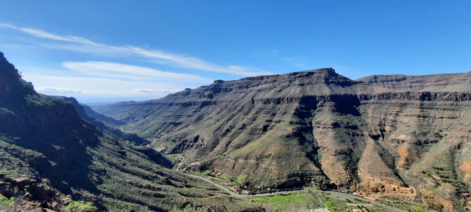
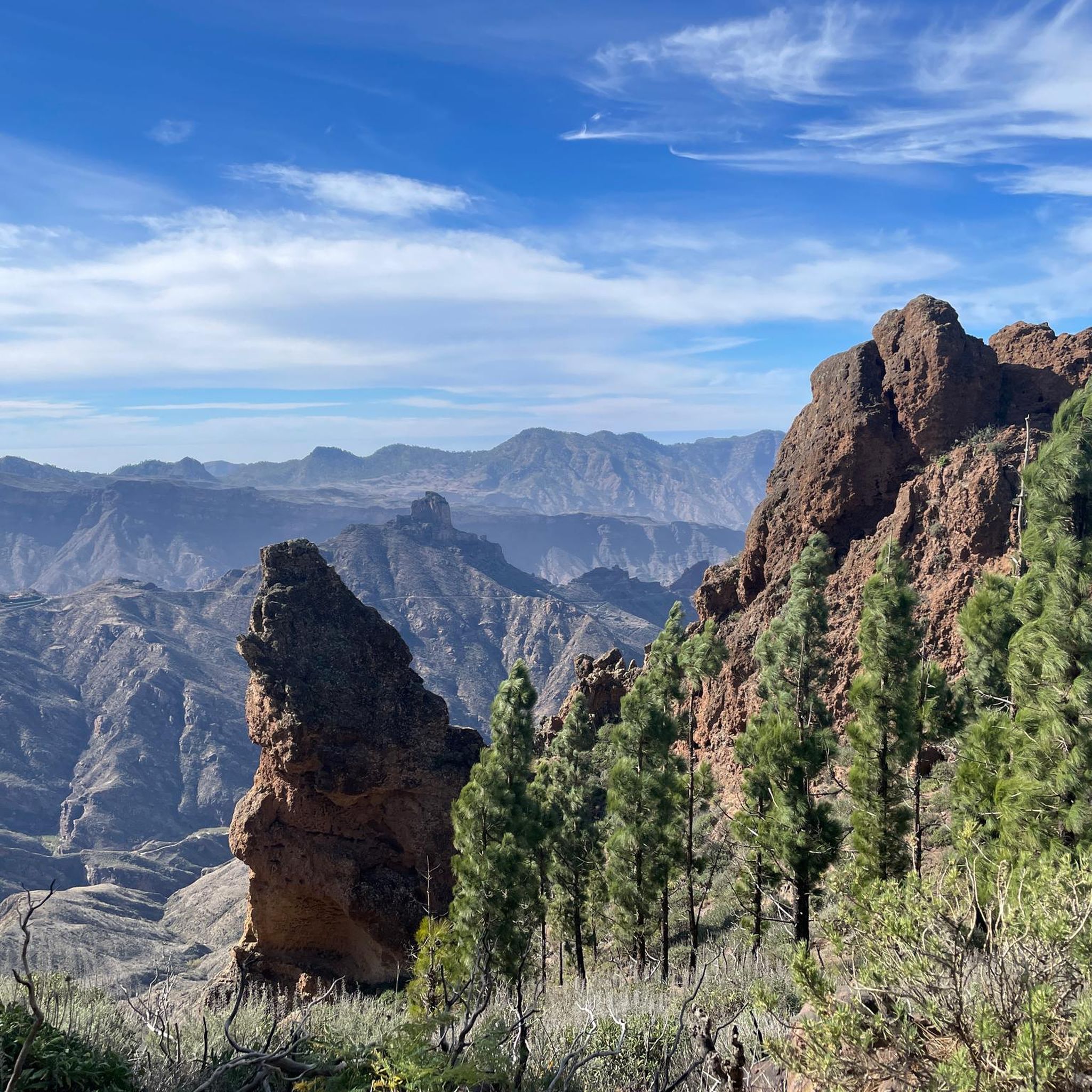
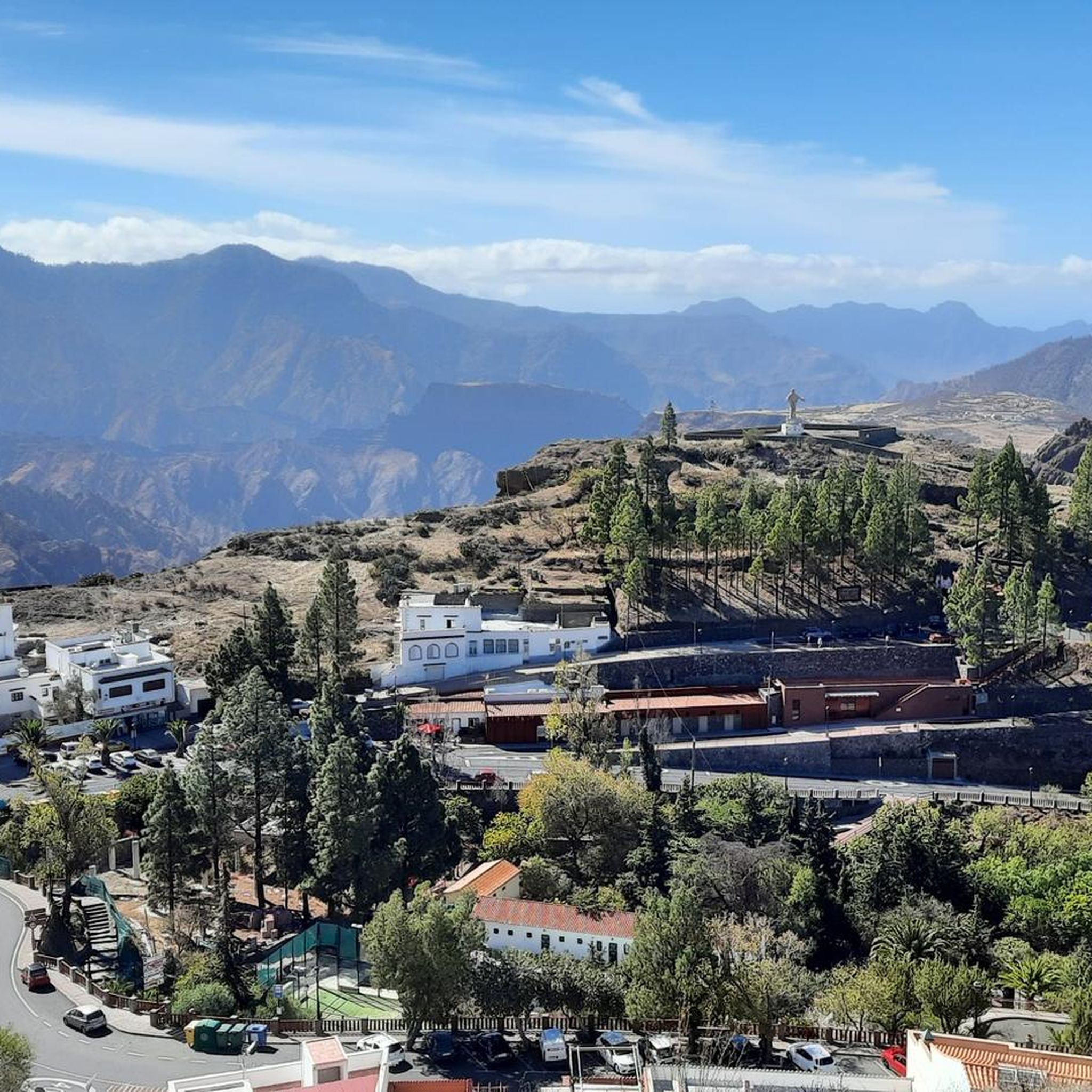
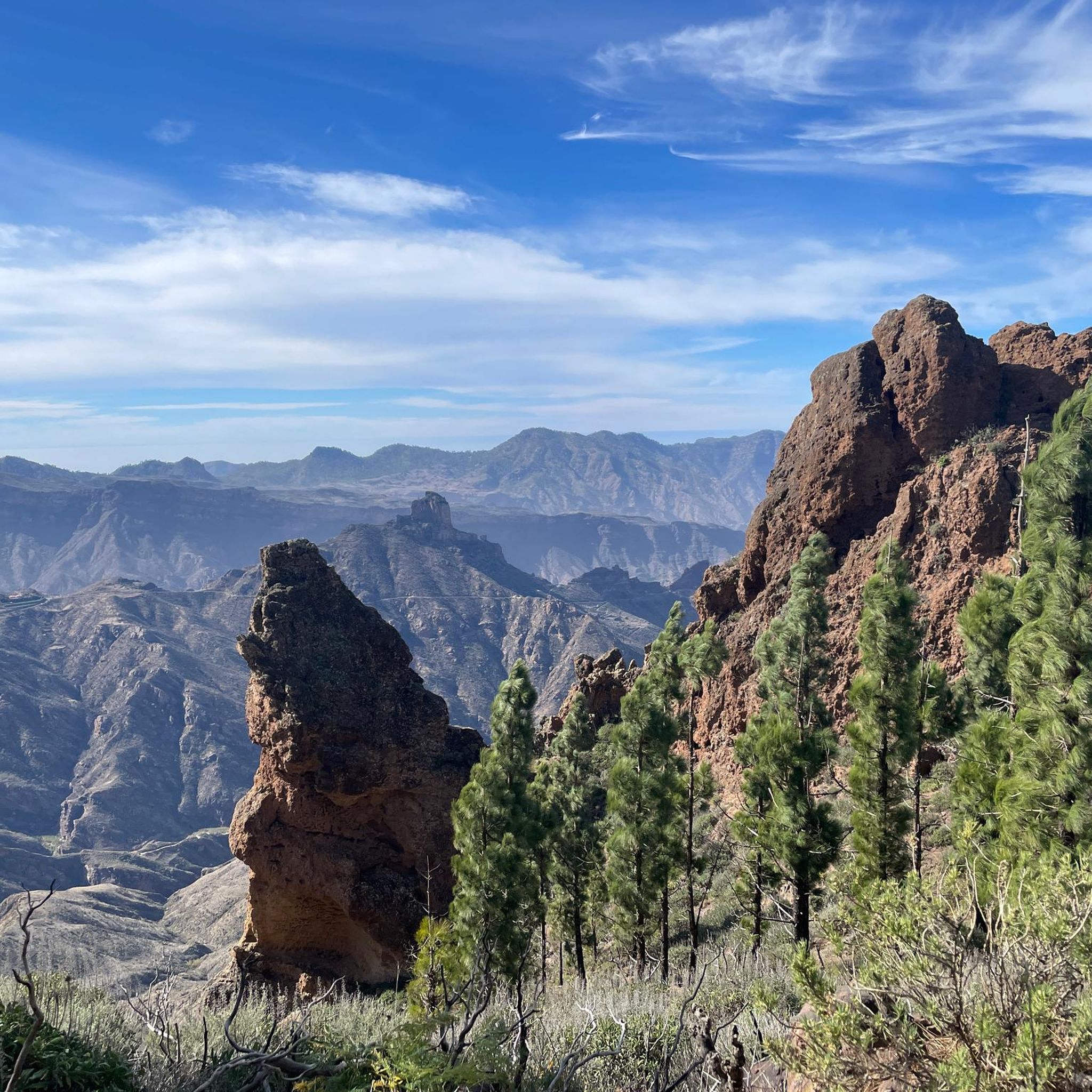
The Degollada (valley) of the Cruz Grande offers views of two different valleys. On one side you can see the Caldera de Tirajana, and on the other the Chira basin and the pine forest of Pilancones. This is where the paths from north to south cross. The main route is known as the Ruta de la Plata, and was formerly part of a cattle route for transhumance, as well as part of the Way of St. James in Gran Canaria. The oldest volcanic materials are clearly visible in the Caldera de Tirajana due to the effect of erosion, such as the vent "Risco Blanco" and the volcanic layers "Rompeserones" and "Sepultura del Gigante". The plateaus "El Sequero", "El Sitio" and "Los Llanos de Madrid" were formed by the sliding of volcanic materials. In the ravines are the archaeological sites of. "Rosiana", "Los Sitios" and "La Fortaleza de Ansite". In the fertile and cultivated valley you can see the remains of the former palm groves that originally grew here. The Canary Island pine is common in the upper region of the caldera and the slopes are a habitat for some native botanical rarities. In the upper region of Ayagaures is the natural park and pine grove, Parque Natural de Pilancones, which has a great geological and botanical landscape value. As for the flora of the area, the Canary Island pine plays a major role. A species of rockrose and a viper's bugloss are particularly noteworthy. The area is also a bird sanctuary for the native great spotted woodpecker and the finch. The area was declared a World Biosphere Reserve by UNESCO on 29 June 2005.
3
0

The Cruz Grande is a pass that lies at an altitude of 1249 meters. The saddle is also called Degollada de la Cruz Grande. From up there you can enjoy views of two different valleys. On one side you can see the Caldera de Tirajana and on the other side the Chira basin. Many old paths meet at the Cruz Grande, such as the Ruta de la Plata, which is also part of the Way of St. James in Gran Canaria. During your hike you will also come to the Cruz Grande. From there you descend on the Camino Real to San Bartolomé.
2
0
The Degollada (valley) of the Cruz Grande offers views of two different valleys. On one side you can see the Caldera de Tirajana, and on the other the Chira basin and the pine forest of Pilancones. This is where the paths from north to south cross. The main route is known as the Ruta de la Plata, and was formerly part of a cattle route for transhumance, as well as part of the Way of St. James in Gran Canaria. The oldest volcanic materials are clearly visible in the Caldera de Tirajana due to the effect of erosion, such as the vent "Risco Blanco" and the volcanic layers "Rompeserones" and "Sepultura del Gigante". The plateaus "El Sequero", "El Sitio" and "Los Llanos de Madrid" were formed by the sliding of volcanic materials. In the ravines are the archaeological sites of. "Rosiana", "Los Sitios" and "La Fortaleza de Ansite". In the fertile and cultivated valley you can see the remains of the former palm groves that originally grew here. The Canary Island pine is common in the upper region of the caldera and the slopes are a habitat for some native botanical rarities. In the upper region of Ayagaures is the natural park and pine grove, Parque Natural de Pilancones, which has a great geological and botanical landscape value. As for the flora of the area, the Canary Island pine plays a major role. A species of rockrose and a viper's bugloss are particularly noteworthy. The area is also a bird sanctuary for the native great spotted woodpecker and the finch. The area was declared a World Biosphere Reserve by UNESCO on 29 June 2005.
6
1

komootモバイルアプリでインスピレーションを得よう


さらに探索
これらのガイドでさらに壮大な山道を見てみましょうアルテナラでの:
