バルサレニーの天然記念物・トップ7
バルサレニーが誇る美しい風景を見てみたいなら、バルサレニーの素晴らしい天然記念物・トップ7
に行ってみましょう。あなたにぴったりの場所が見つかるよう、素晴らしい天然記念物を探索するために必要なすべての情報を集めました。次のアウトドアの冒険に出かける計画の参考にしましょう。
最終更新日: 8月 25, 2026
パルケ・デ・ラグーリャ
ハイライト • 湖
翻訳者 Google •
役立つ情報 は

ラ・ボトホサの塩鉱廃棄場
ハイライト • 構造物
The La Botjosa salt dump measures 775 meters long by an average width of 150 meters, occupies 13.5 Ha …
翻訳者 Google •
役立つ情報 は

今すぐサインアップして、こんな場所を発見しよう
最高のシングルトラック、ピーク、その他のエキサイティングなアウトドアスポットのおすすめを受け取ろう。
無料新規登録
Canyet del Muladar
ハイライト • 自然記念物
翻訳者 Google •
役立つ情報 は

ドルメン
ハイライト • 歴史的な場所
役立つ情報 は

フォン・デ・ラングラ
ハイライト • 自然記念物
翻訳者 Google •
役立つ情報 は

無料でサインアップして、さらに多くの自然記念物を発見しましょう バルサレニーでの。
無料新規登録
すでにアカウントをお持ちですか?
無料アカウントで今日から始めよう
次の冒険が待っています。
ログインまたは登録

コミュニティからのヒント

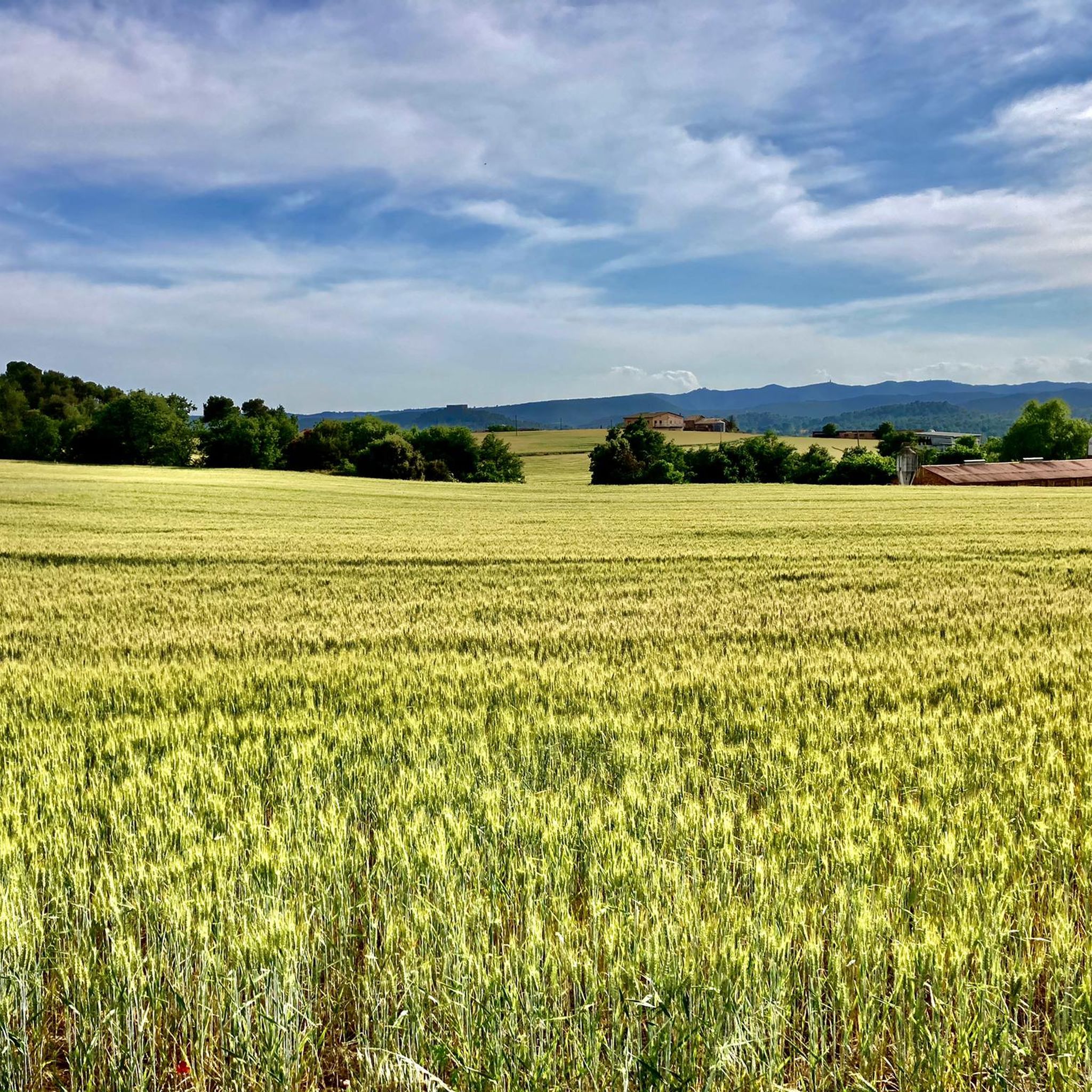
The L’Angla spring is located on the left or south side of the Calders river valley, between the Llac de Navarcles and Viladecavalls de Calders, near Navarcles but in the municipality of Calders and, consequently, in the Moianès region. The spring takes its name from the L’Angla farmhouse, documented since ancient times, through which the GR-3 trail passes. The spring is below the farmhouse, on a shady half-slope, facing a cliff of the winding Calders river and next to the L’Angla stream, in an oak grove with sections eroded by abusive logging and by excessive use of paths and foot traffic. The spring springs from above a rock. Around it, a small stone house was built, almost like a toy, large enough to sit in, with the back wall half made of natural rock where the water flows and half built of stone, two benches that follow the side walls and the water circulating on the ground and coming out of the door. The L’Angla spring is one of those that always flows. The L’Angla oak, with its beautiful shape and large proportions and therefore listed as a unique tree of Calders, stands out a few dozen meters below the spring. Text by Jordi Badia.
0
0

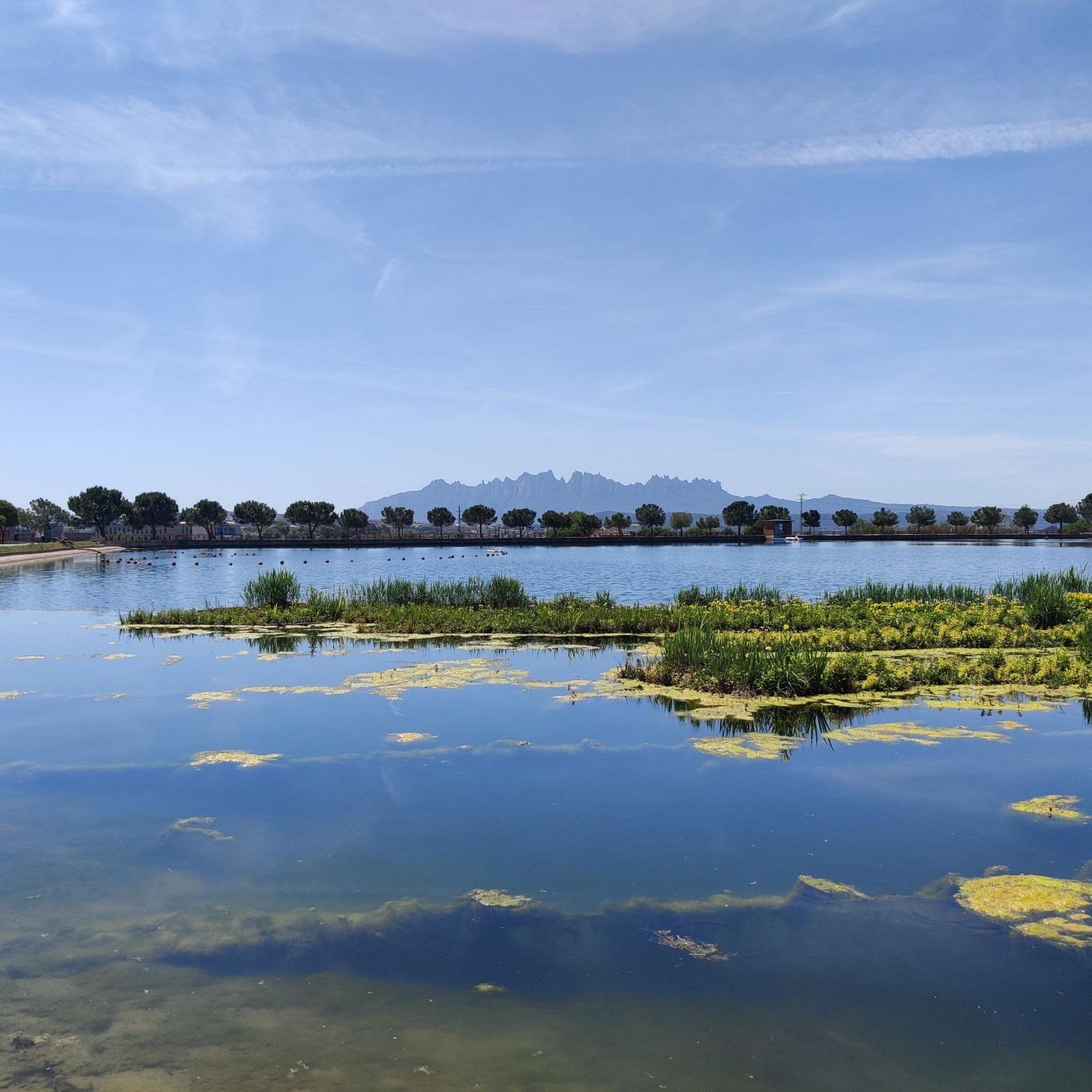
Space to relax and look towards Montserrat
0
0

Mountain of saline and other waste created between 1945 and 1977. The La Botjosa salt dump measures 775 meters long by an average width of 150 meters, occupies 13.5 Ha and its content is estimated at around 4 million tons of salty waste. Since the start of the new Cogulló dump in 1977, the potash mining of Sallent and Balsareny stopped dumping saline waste in La Botjosa. Since then, a considerable portion of the saline residues dumped in the La Botjosa dump has disappeared by dissolution in rainwater and air humidity, as evidenced by the geomorphologies in lapiaz on the slopes and dame coiffée where an object acting as an umbrella has protected the salt below
2
0

This park is a large reservoir with a nice trail around it for walking and biking. There is parking and a picnic area. It is a good place to relax or start or end an adventure.
2
0

The Parque de l’Agulla is a natural space located on the outskirts of Manresa, near the municipalities of Sant Fruitós de Bages and Santpedor. The park was born with the construction of the lake of l’Agulla between 1966 and 1974. The lake has a surface area of about 64,000 m2 and a capacity close to 200,000 m3. Its main source of water is the Sèquia de Manresa canal, of medieval origin.
2
0

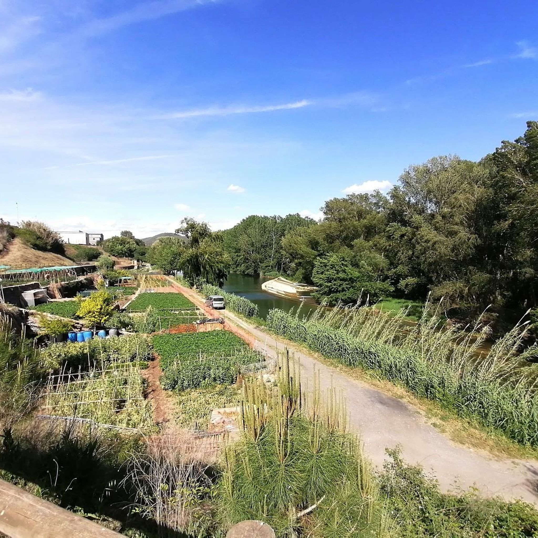
Set of trails on the left bank of the Cal Flequer torrent that I have to travel more to track them well.
1
0

El Canyet del Muladar is a space to promote and conserve endangered dryland fauna. Joint project between Manresa City Council and Bages Biodiversity.
1
0

Salt residues from the Sallent mine.
1
0
バルサレニーでのの人気観光スポット

komootモバイルアプリでインスピレーションを得よう


さらに探索
これらのガイドで、最高の洞窟を探す範囲を広げましょうバルサレニーでの:
