ラジャデルの天然記念物・トップ13
ラジャデルが誇る美しい風景を見てみたいなら、ラジャデルの素晴らしい天然記念物・トップ13
に行ってみましょう。あなたにぴったりの場所が見つかるよう、素晴らしい天然記念物を探索するために必要なすべての情報を集めました。次のアウトドアの冒険に出かける計画の参考にしましょう。
最終更新日: 8月 24, 2026
コルバイシュ山頂
ハイライト • 山頂
翻訳者 Google •
役立つ情報 は

コグジョー・デ・カン・トラ
ハイライト • 山頂
翻訳者 Google •
役立つ情報 は

今すぐサインアップして、こんな場所を発見しよう
最高のシングルトラック、ピーク、その他のエキサイティングなアウトドアスポットのおすすめを受け取ろう。
無料新規登録
パルケ・デ・ラグーリャ
ハイライト • 湖
翻訳者 Google •
役立つ情報 は

ゴラ・デル・ビガイレ
ハイライト • 峡谷
翻訳者 Google •
役立つ情報 は

アルジナ・グロッサ・デ・ケロル
ハイライト • 自然記念物
Majestic specimen of about 15m in height and with an imposing trunk of more than 4m in diameter, probably one of the largest in Catalonia.
It has a picnic area.
翻訳者 Google •
役立つ情報 は

無料でサインアップして、さらに多くの自然記念物を発見しましょう ラジャデルでの。
無料新規登録
すでにアカウントをお持ちですか?
無料アカウントで今日から始めよう
次の冒険が待っています。
ログインまたは登録

コミュニティからのヒント

Historic center of Catalonia, more beautiful than the official one.
1
0

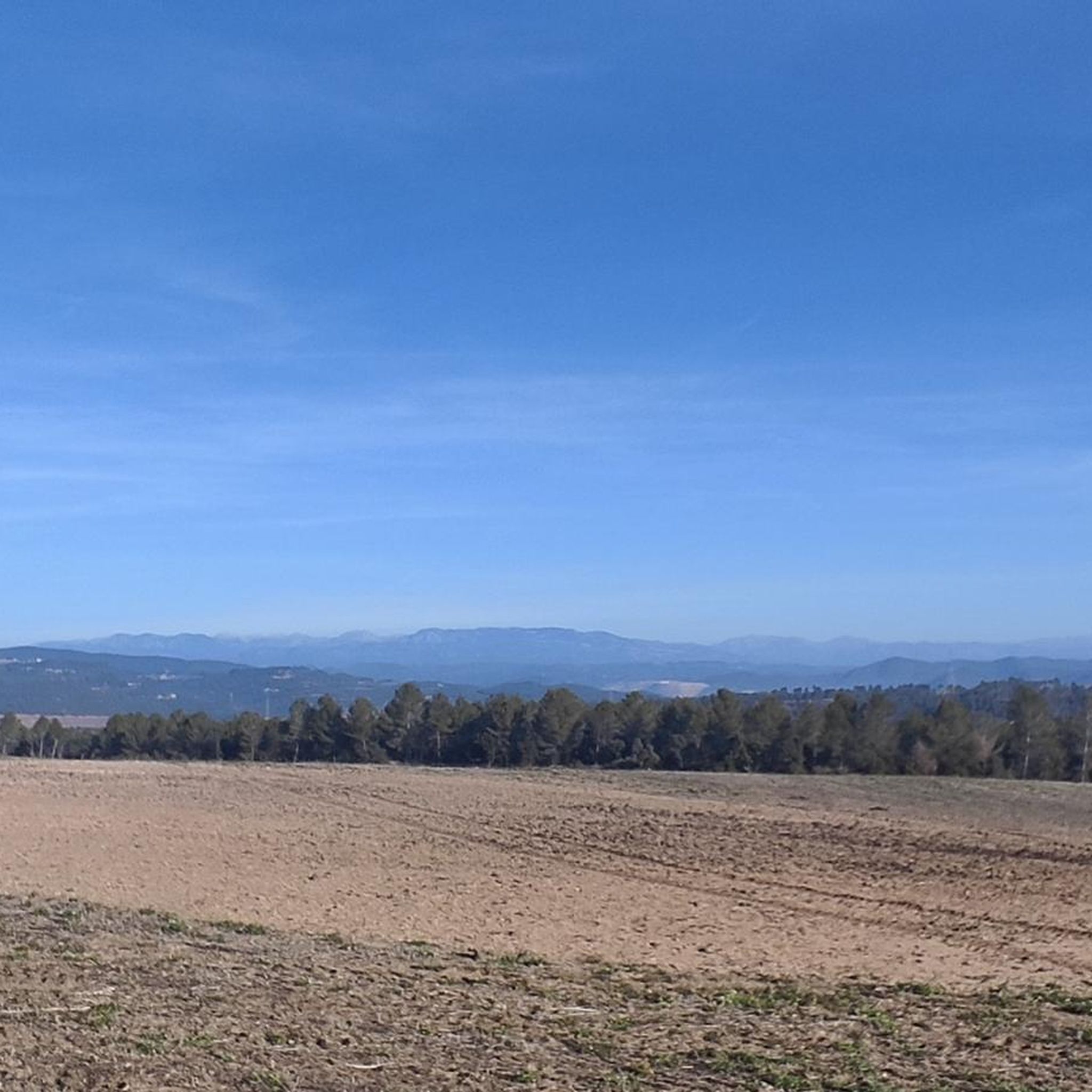
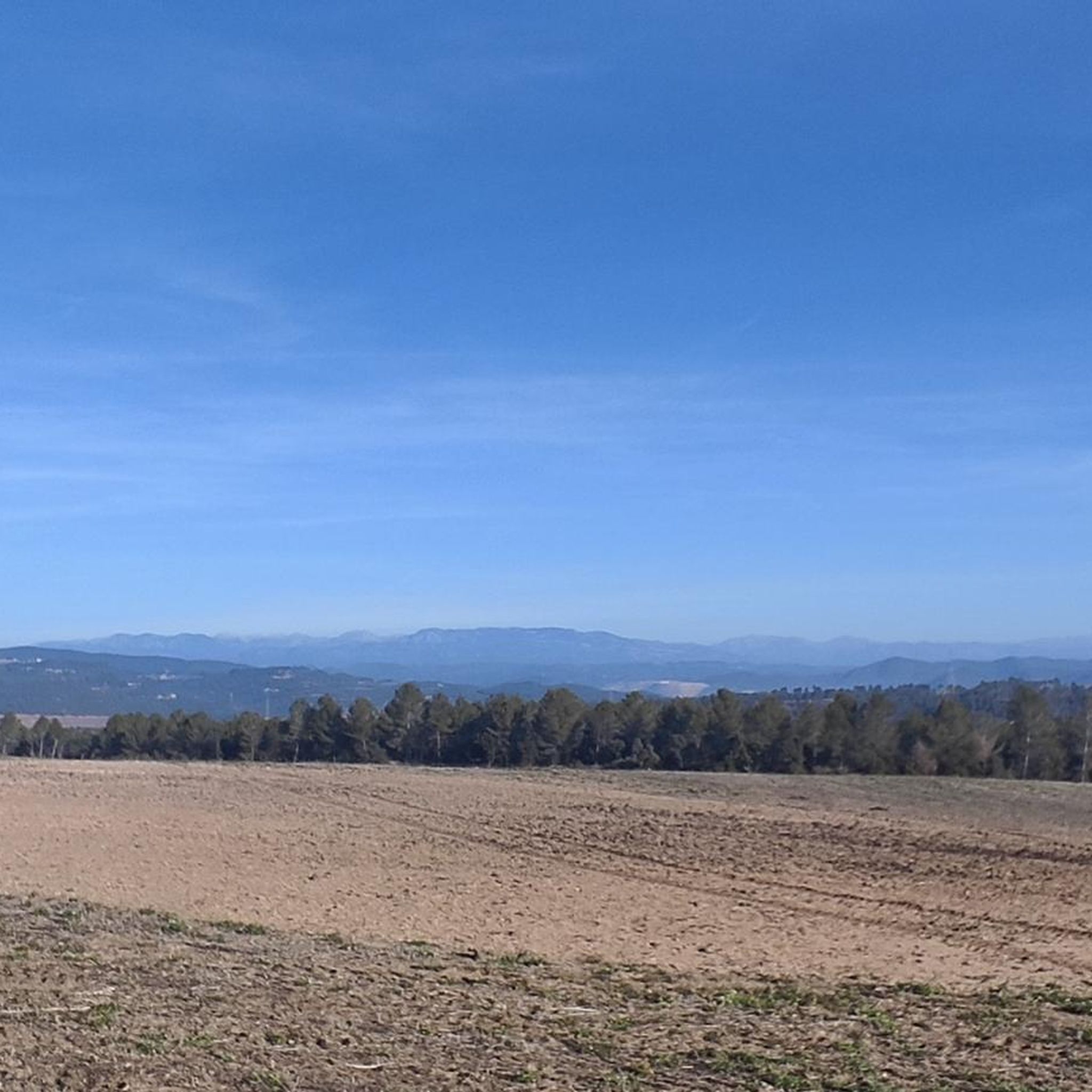
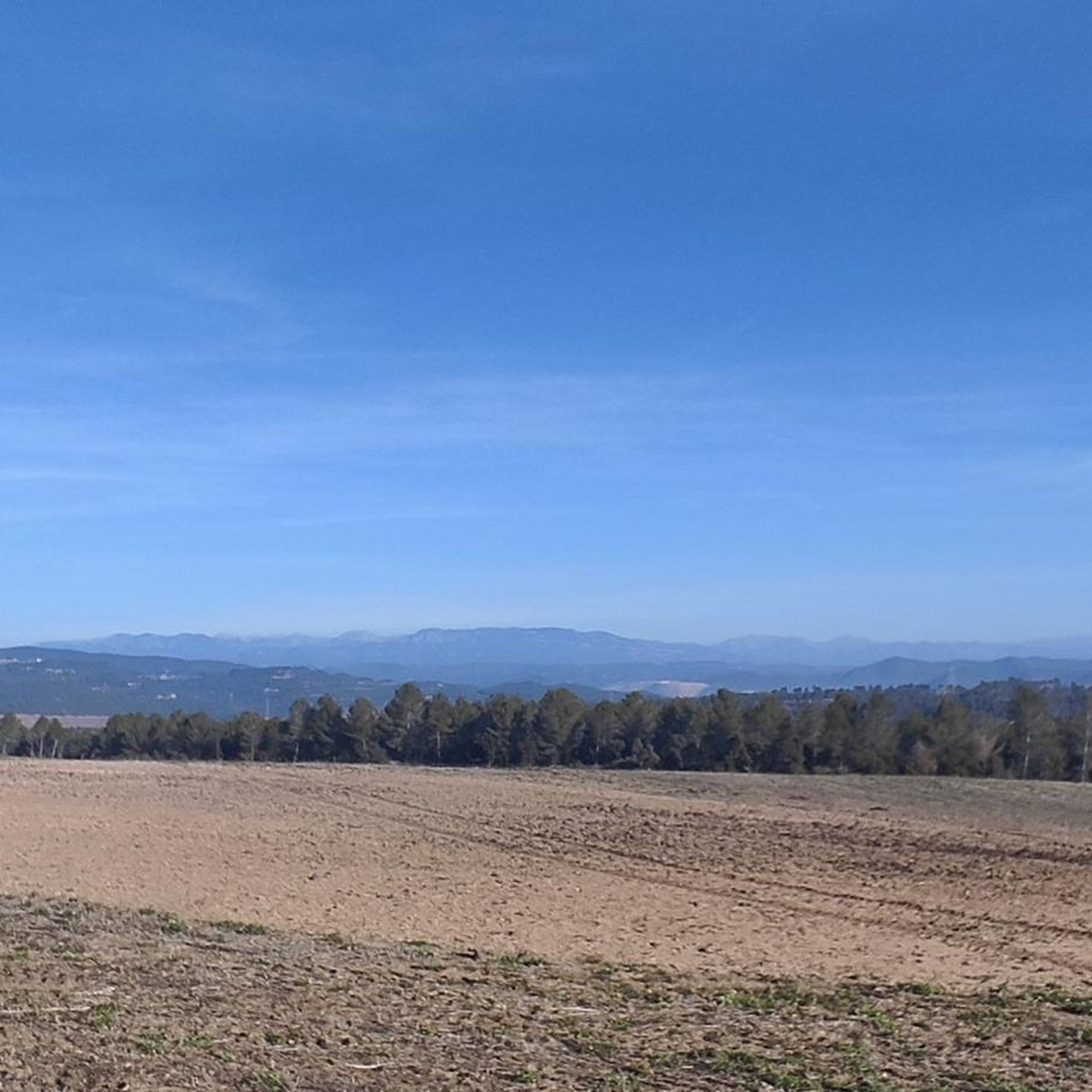
Space to relax and look towards Montserrat
0
0

Collbaix is a 543 meter peak, located in Sant Joan de Vilatorrada. It is the highest in the district of Manresa, to the west of Pla de Bages, which has an excellent observation point. It is listed as a large park by the Planning Plan of Manresa. The mountain is located between the streams of Rajadell and Fonollosa. The south side belongs to Manresa, the east to Sant Joan de Vilatorrada, where the town's expansion area is located. Rajadell has the area of Punta Sabata and Fonollosa with most of the summit, the west and the obac slope. Collbaix originated from the erosion of the surrounding land. A resistant layer of conglomerates protects the flat top from erosion, forming a plateau. The summit is made up of large blocks of stone separated from each other. At the top we can find a geodesic vertex (reference 280109001) A metal table with an engraved map of the region. This peak is included in the list of the 100 peaks of the FEEC.
2
0
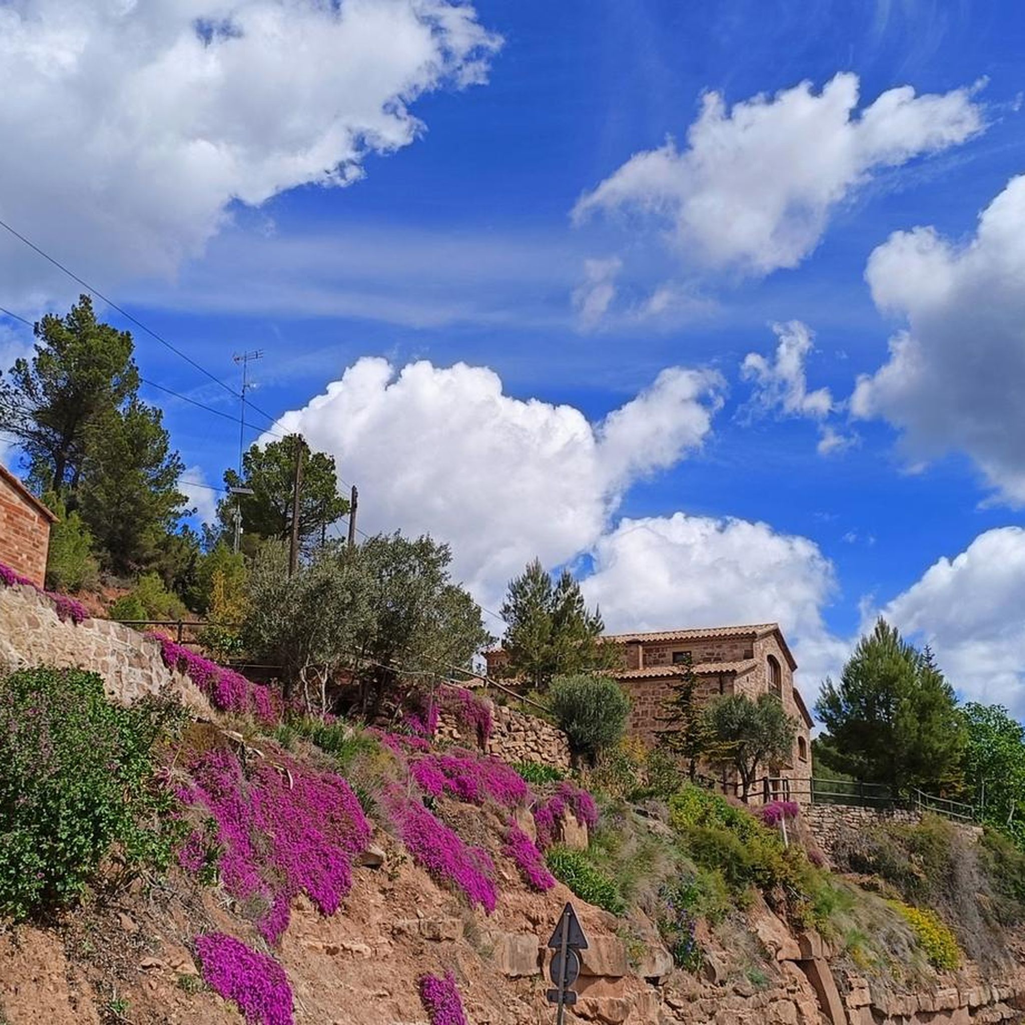
peak of Cogulló de Cal Torre, a mountain included in the list of the 100 Peaks of the FEEC and bordering the municipalities of Rajadell and Castellfollit del Foix. At its summit, the ridges of the Serra del Colomer (which we climbed), the Serra de Cal Torre (parallel to the first and also called the Palomes on some maps), and the ridge of La Serra converge , through which we will continue the path. From the top we have magnificent views of Montserrat, Sant Llorenç, Montseny and part of Central Catalonia. But on clear days we can also see the Pyrenees, such as Pedraforca, Gallina Pelada or Cadí. At the top we will find a wooden fire watch house as well as a geodesic vertex (reference 277112001). This peak is one of the disputed points for the centrality of Catalonia, for which, every September 11, a very crowded gathering is held there. Unfortunately, the summit is accessible to motor vehicles, motorbikes but also all-terrain vehicles, which damages the balance of the environment.
1
0

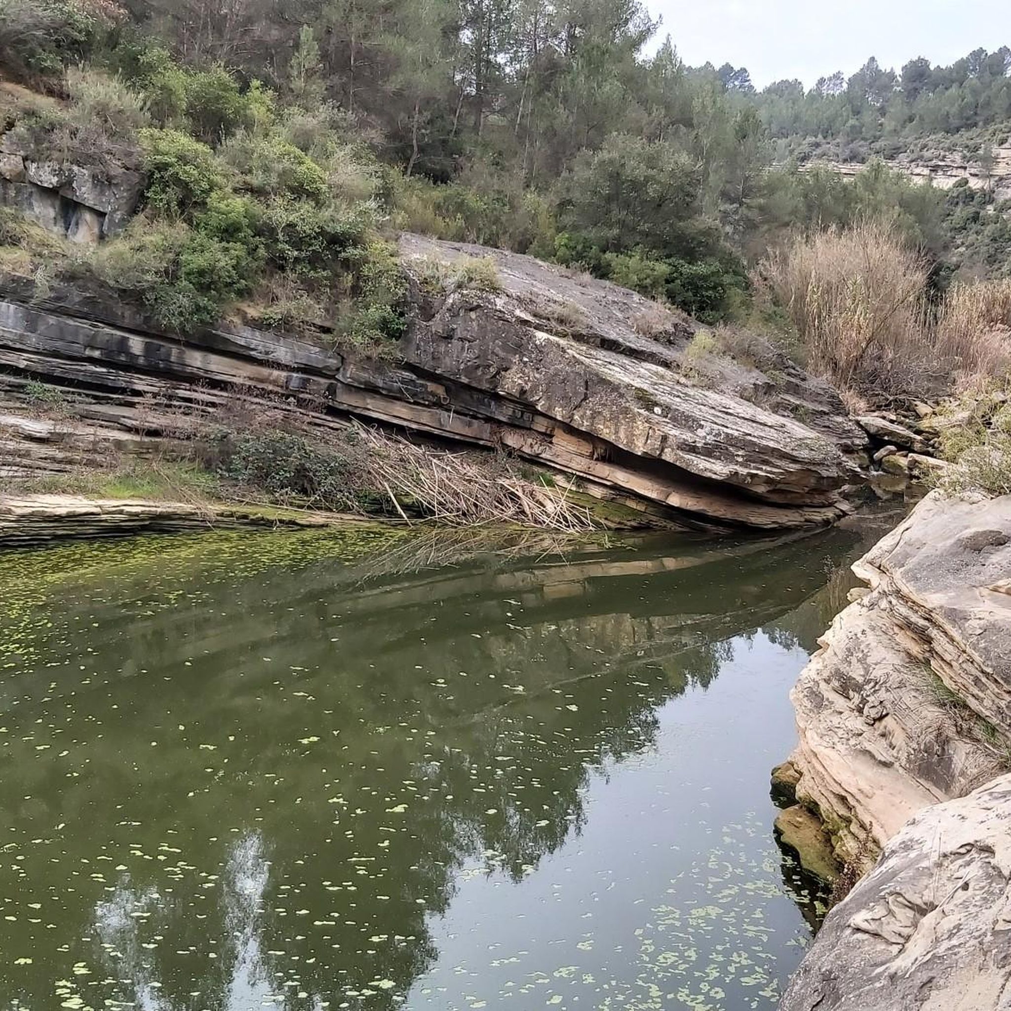
At this point in its course, the river Llobregat crosses the large cracks that it has opened in the strata of nodular limestone, so that when the course of the river is low, it can be crossed by jumping from rock to rock. The name comes from the fact that a "bigaire" (a rafter, who transported logs of wood joined together to form a boat) died at this point.
1
0


This park is a large reservoir with a nice trail around it for walking and biking. There is parking and a picnic area. It is a good place to relax or start or end an adventure.
2
0
This oak is large and spectacular. It is officially protected. It has some picnic tables around it and is the perfect place for a good rest.
0
1
ラジャデルでのの人気観光スポット

komootモバイルアプリでインスピレーションを得よう


さらに探索
これらのガイドで、最高の洞窟を探す範囲を広げましょうラジャデルでの:
