トレス・デ・アルバンチェスの天然記念物・トップ6
トレス・デ・アルバンチェスが誇る美しい風景を見てみたいなら、トレス・デ・アルバンチェスの素晴らしい天然記念物・トップ6
に行ってみましょう。あなたにぴったりの場所が見つかるよう、素晴らしい天然記念物を探索するために必要なすべての情報を集めました。次のアウトドアの冒険に出かける計画の参考にしましょう。
最終更新日: 8月 25, 2026
ベナタエのペニャルタ(1,412m)
ハイライト • 山頂
The Peñalta peak is 1,412 meters high and is located between the towns of Orcera and Benata.
翻訳者 Google •
役立つ情報 は

天然の水源
ハイライト • 自然記念物
翻訳者 Google •
役立つ情報 は

今すぐサインアップして、こんな場所を発見しよう
最高のシングルトラック、ピーク、その他のエキサイティングなアウトドアスポットのおすすめを受け取ろう。
無料新規登録
ラ・ピエドラ・デル・アグヘロ
ハイライト • 自然記念物
翻訳者 Google •
役立つ情報 は
フエンテ・デル・リオ・トゥルチェル
ハイライト • 自然記念物
翻訳者 Google •
役立つ情報 は

ロス・ピカラソス
ハイライト • 自然記念物
翻訳者 Google •
役立つ情報 は

無料でサインアップして、さらに多くの自然記念物を発見しましょう トレス・デ・アルバンチェスでの。
無料新規登録
すでにアカウントをお持ちですか?
無料アカウントで今日から始めよう
次の冒険が待っています。
ログインまたは登録
コミュニティからのヒント

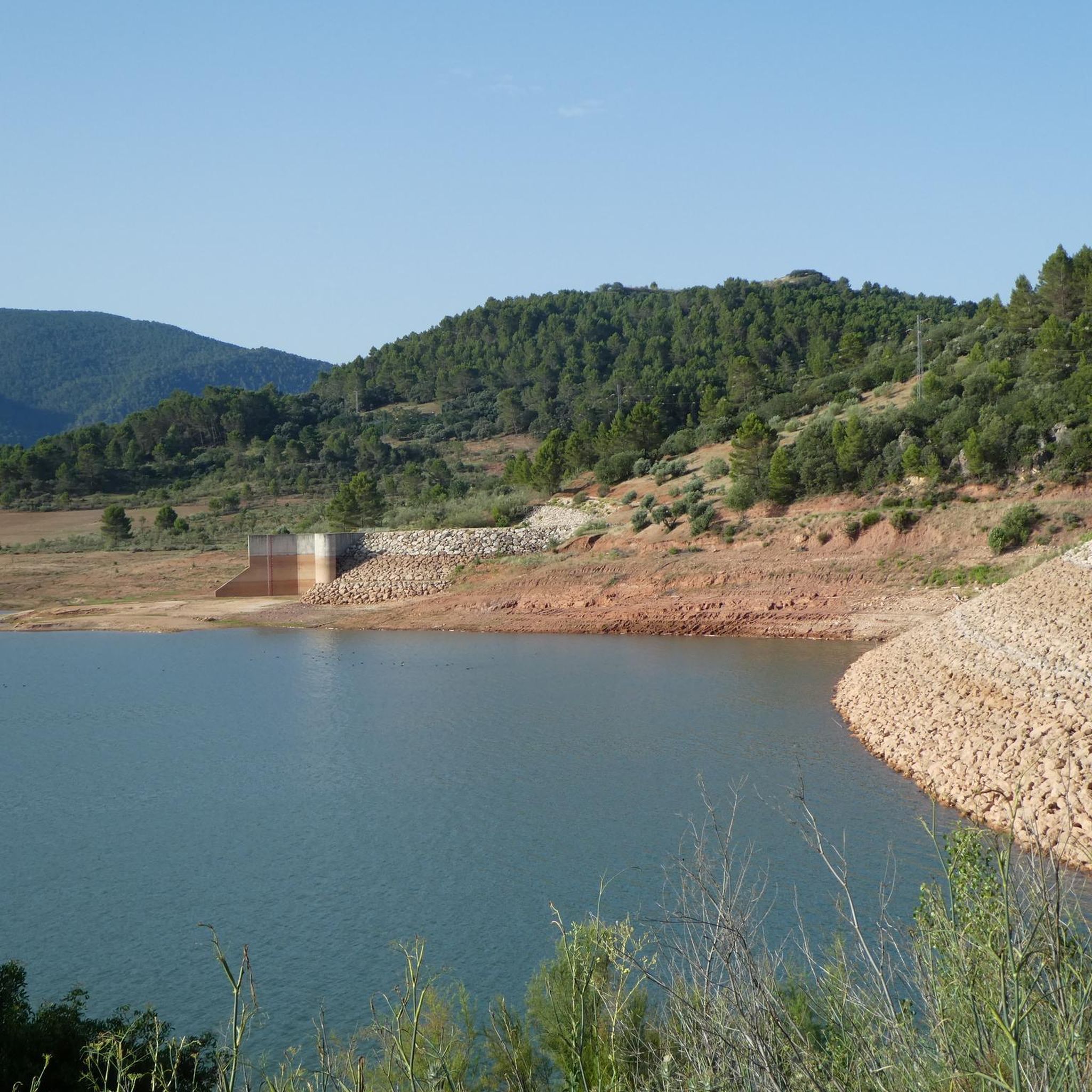
Source of life and salvation to heal basic needs. Pure water that quenches the thirst of walkers and bikers
1
0

Bienservida is one of the entrances to the forests, valleys and mountains of the Sierra de Alcaraz and Calar del Mundo. The town is surrounded by beautiful natural landscapes and is also one of the stages of the Don Quixote Route. The mountain bike route leaves the urban complex towards Villaverde de Guadalimar and after one kilometer it turns to the right along the path of the source of the Turruchel river, a recreational area with fountains, springs, pools and small waterfalls.
1
0

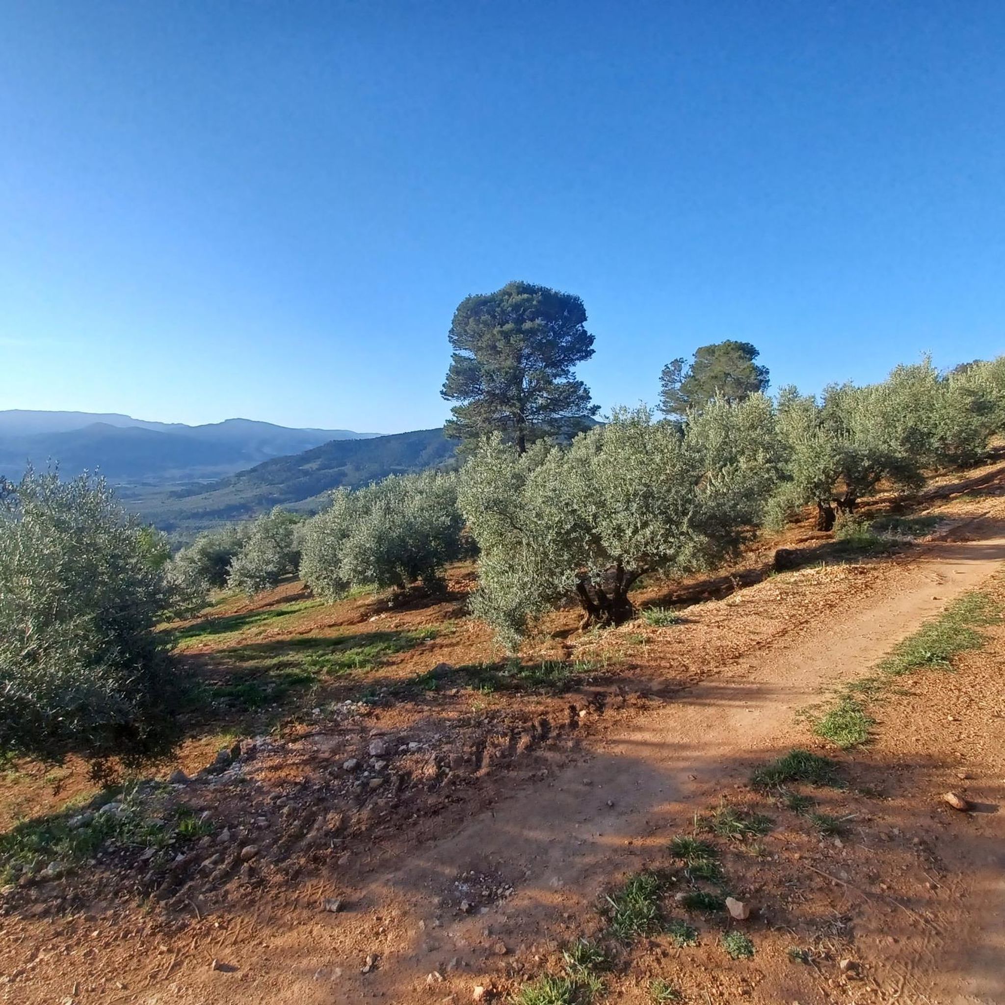
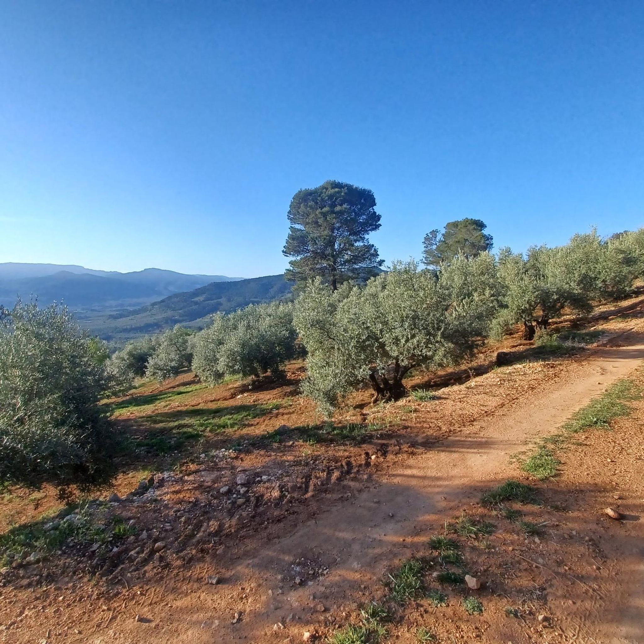
Emblem of the Segureño landscape that has an altitude of 1290 m. It performs the work of a natural viewpoint that allows glimpses of the Hueta valley and the Fresnedilla meadow.
1
0
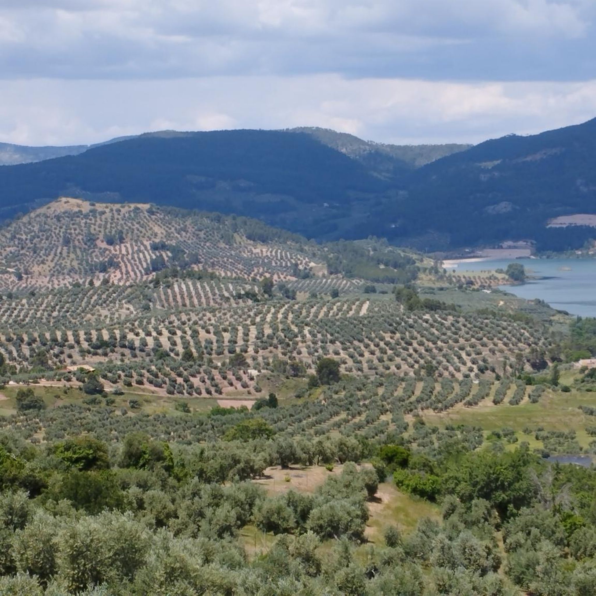
Summit located in the municipality of Benatae in the region of La Sierra de Segura. The Peñalta peak is 1,412 meters high and is located between the towns of Orcera and Benata.
1
0

They are curious geological formations located northwest of the Calar del Mundo and Sima natural park. Easy access by forest track or by path from the Villaverde del Guadalimar cemetery.
1
0

Drinking water source in the variant of the Canalica (GR 247).
10
0
トレス・デ・アルバンチェスでのの人気観光スポット

komootモバイルアプリでインスピレーションを得よう


