サマルティンデルレイアウレリオの峠・トップ8
風景を楽しんだり、上りや下りを満喫したり、峠には楽しみ方がたくさんあります。サマルティンデルレイアウレリオの素晴らしい峠の一覧を参照して、思い出に残るアドベンチャーに出かけましょう。コミュニティのメンバーがコミュニティのために投稿した峠のハイライトは、他のユーザーが実際におすすめする情報なので、どれも信頼できるものです。気に入った峠にさっそく向かってみましょう。
最終更新日: 8月 25, 2026
アルト・デ・サント・エミリアーノ
ハイライト • 山道
翻訳者 Google •
役立つ情報 は

Les Praeres – シエラ・デ・ペニャマヨール
ハイライト • 山頂
翻訳者 Google •
役立つ情報 は

今すぐサインアップして、こんな場所を発見しよう
最高のシングルトラック、ピーク、その他のエキサイティングなアウトドアスポットのおすすめを受け取ろう。
無料新規登録
アルト・デ・ラ・コジャディエジャ
ハイライト • 山道
翻訳者 Google •
役立つ情報 は

ミラドール・デ・コト・ベジョ
ハイライト • 展望台
翻訳者 Google •
役立つ情報 は

コジャーダ・デ・ペルガーノ
ハイライト • 山道
翻訳者 Google •
役立つ情報 は

無料でサインアップして、さらに多くの山道を発見しましょう サマルティンデルレイアウレリオでの。
無料新規登録
すでにアカウントをお持ちですか?
無料アカウントで今日から始めよう
次の冒険が待っています。
ログインまたは登録
サマルティンデルレイアウレリオでのの他の冒険

コミュニティからのヒント

ペルノからの美しいハイキング。ペーニャ・メア/オホ・デ・ブエイまで行く場合でも、コラダ・デ・ペルガーノを含めることをお勧めします。
0
0

The Les Praeres pass, meaning "meadows" in Spanish, is a beautiful crossing point for the surrounding peaks. There's also a bar and restaurant with a mountain atmosphere. As if that weren't enough, there's a deer, rescued as a puppy by the bar's owner, who freely roams the area like a pet.
0
0


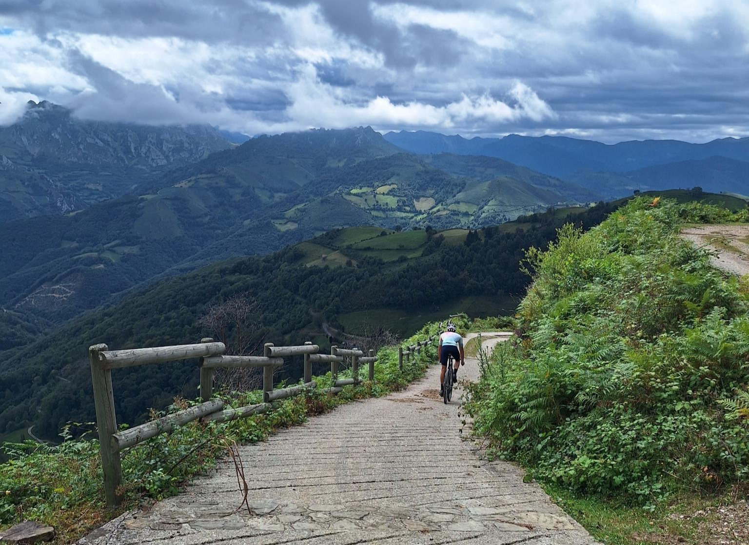
The Alto de Santo Emiliano is a classic Asturian cycling pass, located between the municipalities of Mieres and Langreo, connecting the Nalón and Caudal basins in an area with a long mining and cycling tradition. Climb Features • The summit is located at an altitude of approximately 515-519 meters, depending on the slope. • There are two main slopes: • From Langreo (Sama): • Length: 5.2 to 5.4 km • Elevation gain: ~309 m • Average gradient: 5.7% • Maximum gradient: ~7% (no double-digit ramps) • Road in good condition with a fairly constant gradient. • From Mieres (via Rioturbio): • Length: 7.1 to 7.5 km • Elevation: ~291-314 m • Average gradient: 3.9%-4.4% • Initially, a gentle 2-3% section, then a 3.5 km stretch at 5-7% with occasional ramps at 8-9%
0
0

Beautiful place, with impressive views and a bar where you can have a drink or something to eat.
0
0

Known as the "wall" of Preares, this climb that gives access to the Sierra de Peñamayor awaits us with a drop of 490 m, a length of 3.8 km, an average slope of 12.89% to crown a altitude of 740 m. From this point we can continue along the dirt road until we reach the sign.
1
0
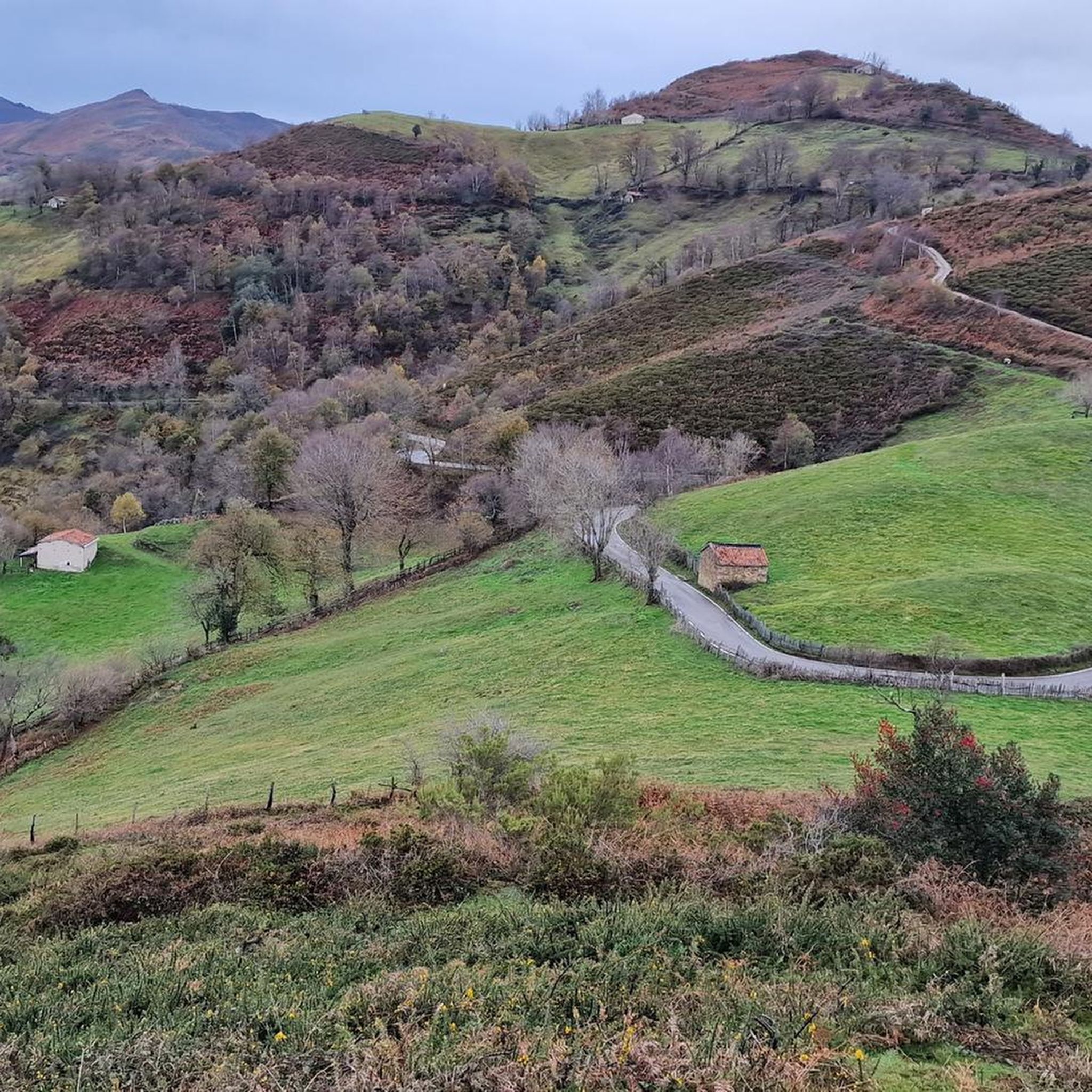
The top of La Colladiella is a pass with very little traffic and a good firm ground. On these lost roads you can enjoy cycling pleasantly, despite its steep slopes.
3
0

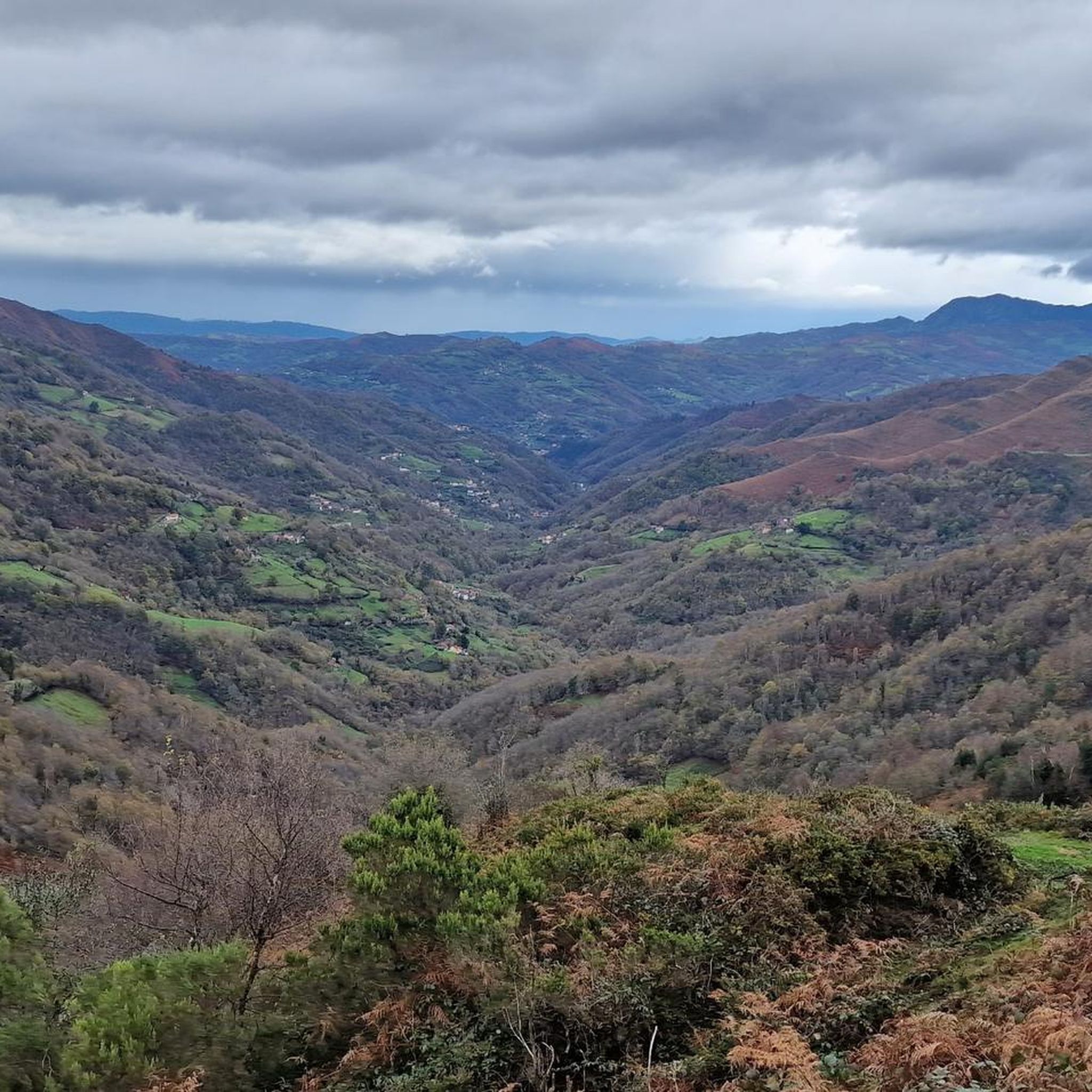
The Coto Bello viewpoint offers beautiful views of the Cantabrian Mountains on clear days. Cows and horses can often be seen grazing peacefully in the surrounding green meadows.
1
0
サマルティンデルレイアウレリオでのの人気観光スポット

komootモバイルアプリでインスピレーションを得よう


