サマルティンデルレイアウレリオの天然記念物・トップ6
サマルティンデルレイアウレリオが誇る美しい風景を見てみたいなら、サマルティンデルレイアウレリオの素晴らしい天然記念物・トップ6
に行ってみましょう。あなたにぴったりの場所が見つかるよう、素晴らしい天然記念物を探索するために必要なすべての情報を集めました。次のアウトドアの冒険に出かける計画の参考にしましょう。
最終更新日: 10月 18, 2026
フエンサンタ天然鉱泉
ハイライト • 自然記念物
翻訳者 Google •
役立つ情報 は

Les Praeres – シエラ・デ・ペニャマヨール
ハイライト • 山頂
翻訳者 Google •
役立つ情報 は

今すぐサインアップして、こんな場所を発見しよう
最高のシングルトラック、ピーク、その他のエキサイティングなアウトドアスポットのおすすめを受け取ろう。
Ojo de Buey(L'Arcu de la Finiesta)、ペーニャ・メア
ハイライト • 自然記念物
翻訳者 Google •
役立つ情報 は
ペンドン川の峡谷
ハイライト • 峡谷
翻訳者 Google •
役立つ情報 は
Cueva de La Peña
ハイライト • 洞窟
翻訳を表示中
役立つ情報 は

無料でサインアップして、さらに多くの自然記念物を発見しましょう サマルティンデルレイアウレリオでの。
すでにアカウントをお持ちですか?
無料アカウントで今日から始めよう
次の冒険が待っています。
サマルティンデルレイアウレリオでのの他の冒険

コミュニティからのヒント

一部の区間で他のハイカーで少し混雑することがあります。濡れているコンディションの時に特におすすめです。気温が高い場合は、早朝に行くことをお勧めします。
0
0

The Les Praeres pass, meaning "meadows" in Spanish, is a beautiful crossing point for the surrounding peaks. There's also a bar and restaurant with a mountain atmosphere. As if that weren't enough, there's a deer, rescued as a puppy by the bar's owner, who freely roams the area like a pet.
0
0

Beautiful place, with impressive views and a bar where you can have a drink or something to eat.
0
0

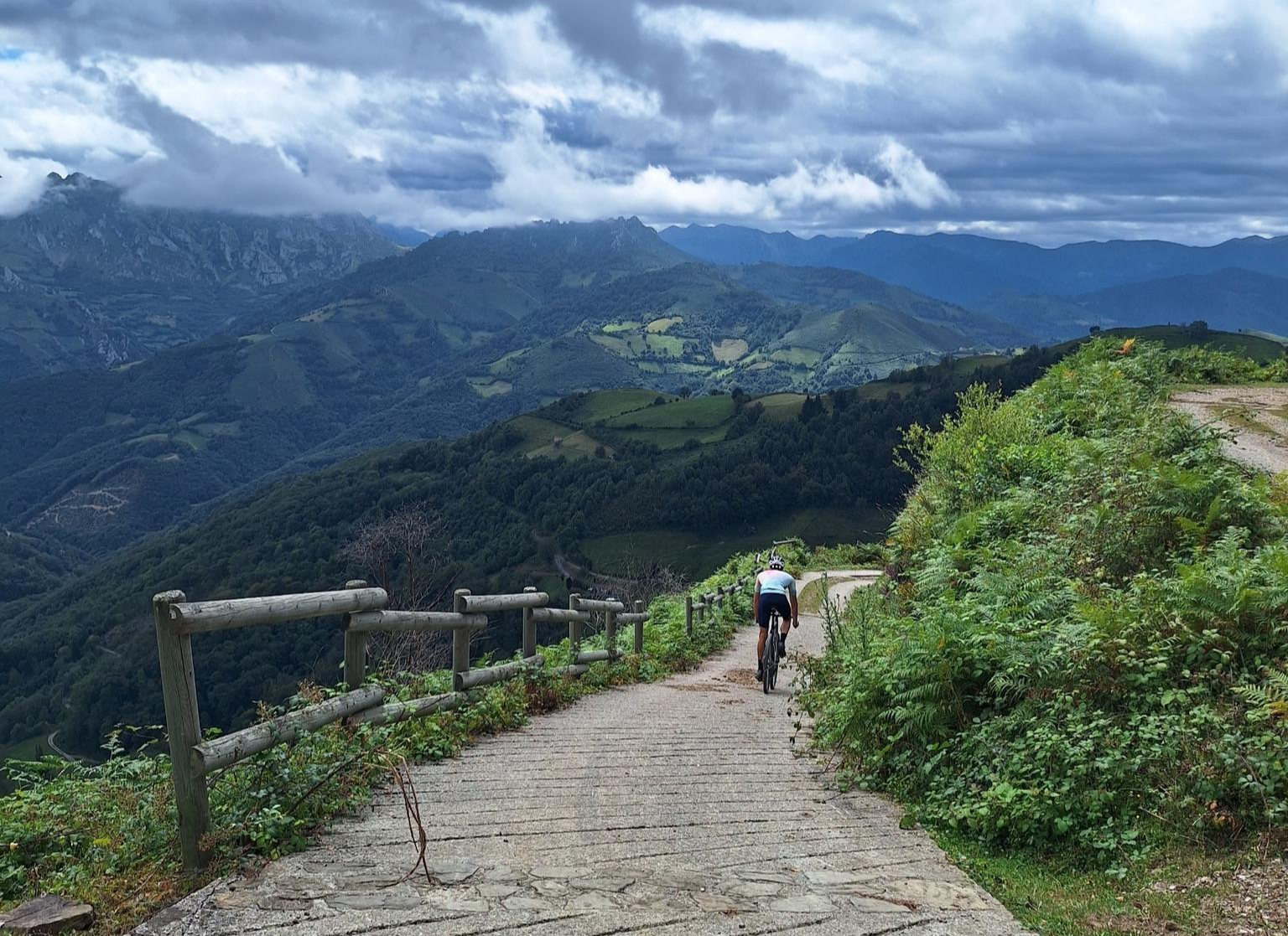
Known as the "wall" of Preares, this climb that gives access to the Sierra de Peñamayor awaits us with a drop of 490 m, a length of 3.8 km, an average slope of 12.89% to crown a altitude of 740 m. From this point we can continue along the dirt road until we reach the sign.
1
0

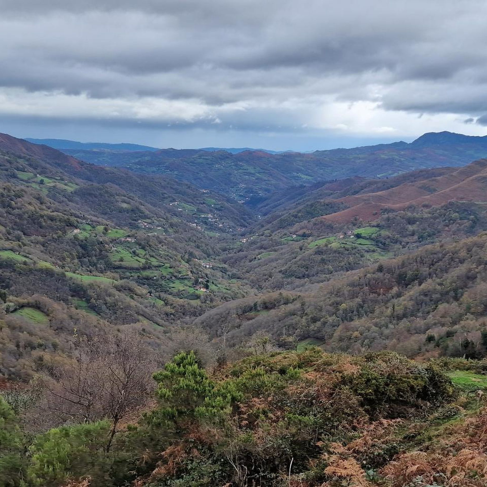
The Banner River is born in the Sierra de Peñamayor. Already in its upper course, at the Bridge of the Banner River, it receives the waters of the Bomalu stream.
3
0
The Ojo de Buey (L'Arcón de la Finistra) is in the Peña Mea massif, in central Asturias, between the councils of Aller and Laviana. It is an impressive window of more than 20 meters in diameter, created by erosion of the limestone rock. It is worth seeing this tremendous hole from different angles.
4
0
Fuensanta began as a spring of water and baths whose use dates back to the Romans, but the first written testimonies are from medieval times. The site has a lot of history, such as the discovery of the Nuevo Manantial in 1868, the installation of electricity in the spa in 1893, the start of the sale of bottled water in Asturian pharmacies in 1913, the launch of food formats in 1983 and the beginning of its international expansion to the United States and Puerto Rico in 1985. In 1968 it began to sell in hospitality and food, already having the fastest water packaging line in Spain. Near the spring there is a route (''Foces del río Banner'') of approximately 10 km. The path is circular: it begins and ends in Fuensanta and passes through Collau de la Canal and Mayao Pastor.
3
0

Spectacular site and increasingly crowded, so if you go for a week even more spectacular.
2
0
サマルティンデルレイアウレリオでのの人気観光スポット

komootモバイルアプリでインスピレーションを得よう


さらに探索
これらのガイドで、最高の洞窟を探す範囲を広げましょうサマルティンデルレイアウレリオでの:
