スタンフォード・ウィズ・オーレトンの天然記念物・トップ6
スタンフォード・ウィズ・オーレトンが誇る美しい風景を見てみたいなら、スタンフォード・ウィズ・オーレトンの素晴らしい天然記念物・トップ6
に行ってみましょう。あなたにぴったりの場所が見つかるよう、素晴らしい天然記念物を探索するために必要なすべての情報を集めました。次のアウトドアの冒険に出かける計画の参考にしましょう。
最終更新日: 10月 17, 2026
Ankerdine Hill
ハイライト • 展望台
役立つ情報 は

プライアーズ・ミルと堰
ハイライト • 自然記念物
役立つ情報 は

今すぐサインアップして、こんな場所を発見しよう
最高のシングルトラック、ピーク、その他のエキサイティングなアウトドアスポットのおすすめを受け取ろう。
スノードロップと滝
ハイライト • 自然記念物
役立つ情報 は

Shavers End Quarry
ハイライト • 展望台
役立つ情報 は
ウォルズグローブ・ヒル山頂の眺め
ハイライト • 展望台
役立つ情報 は
無料でサインアップして、さらに多くの自然記念物を発見しましょう スタンフォード・ウィズ・オーレトンでの。
すでにアカウントをお持ちですか?
無料アカウントで今日から始めよう
次の冒険が待っています。

コミュニティからのヒント

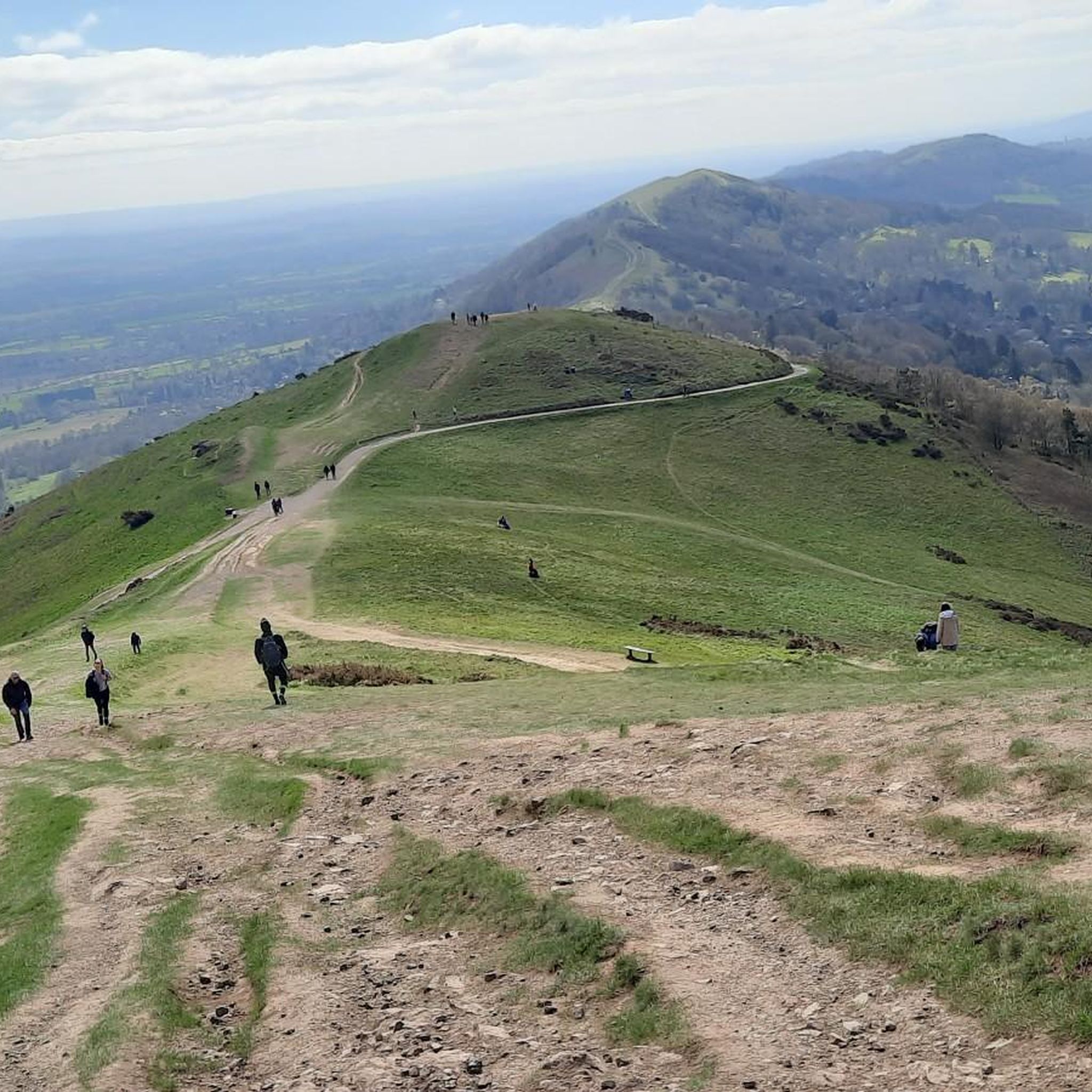
It's a steep pull up Walsgrove Hill from the north, and in the winter it will be slippery and muddy due to the activities of the sheep that live in this field. However, it offers fine views across to the clocktower and beyond.
0
0
This little man-made waterfall is the overflow from the big lake but is still quite realistic. Best visited in the winter for flow and less foliage to get in the way of the camera shot!|
0
0
A real picturesque old mill, and the Geopark Way affords a really good view of the weir and house from a number of angles.
0
0

View to the West The lower part of Walsgrove Hill and the hill on which Abberley clock tower stands are Silurian siltstone. The valley of the River Teme cuts into soft mudstones of the upper Silurian Old Red Sandstone with the harder sandstones of the lower Devonian Old Red Sandstone forming the Bromyard plateau. The low hummocky ground at the base of these hills is underlain by Carboniferous age Coal Measures rocks. These form the southerly tip of the Wyre Forest coalfield. Coal was mined here until the early twentieth century. To the north west, the Clee Hills are also formed of Carboniferous rocks. A molten layer of rock pushed between the layers and formed a hard black dolerite rock, the Dhustone, which slowed the erosion of these still prominent hills and is quarried for roadstone to this day. Source: Local signage
0
0
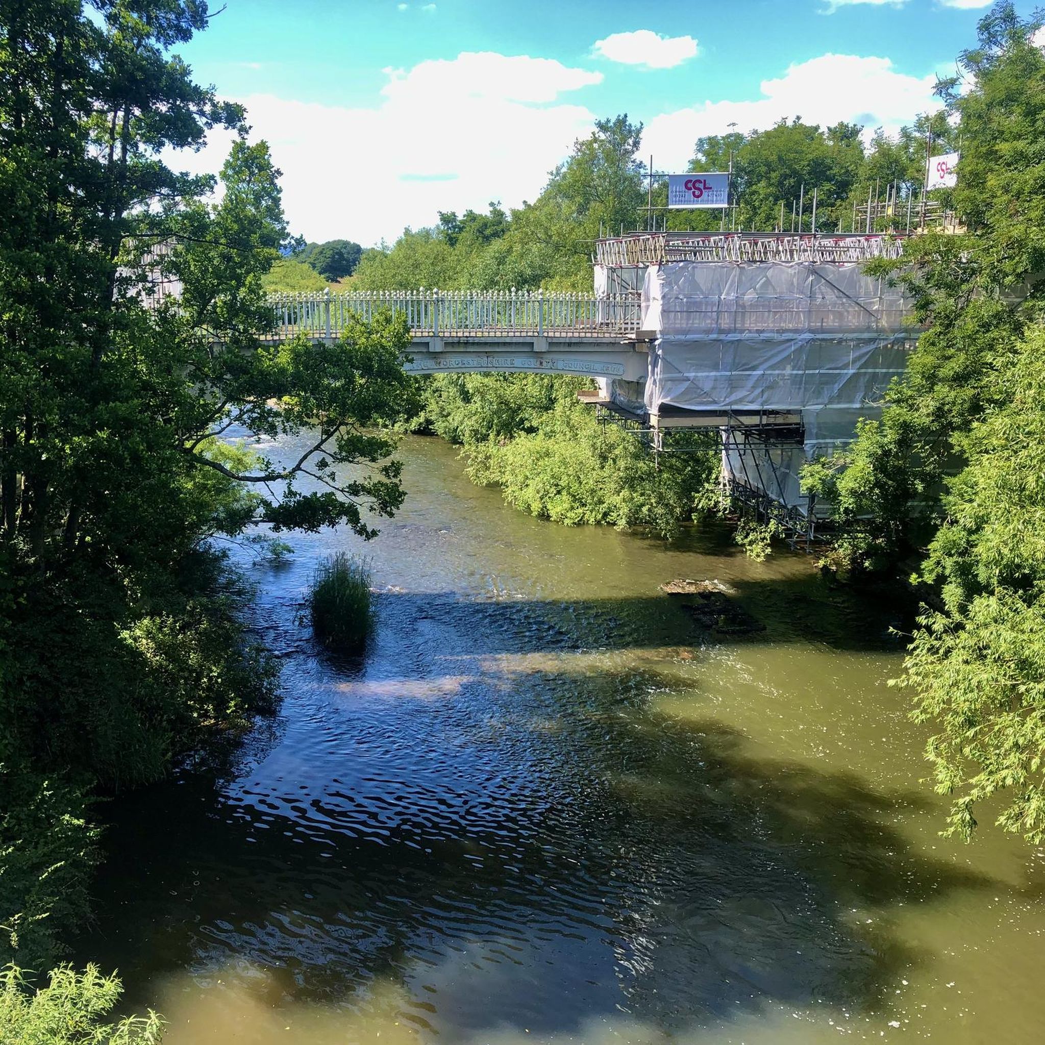
Prior's Mill is a former seventeenth century timber-framed water mill, with twentieth century alterations, and now used as a private residence. Next to it is a very high weir on the Dick Brook. There used to be several mills on this stream long ago.
0
0
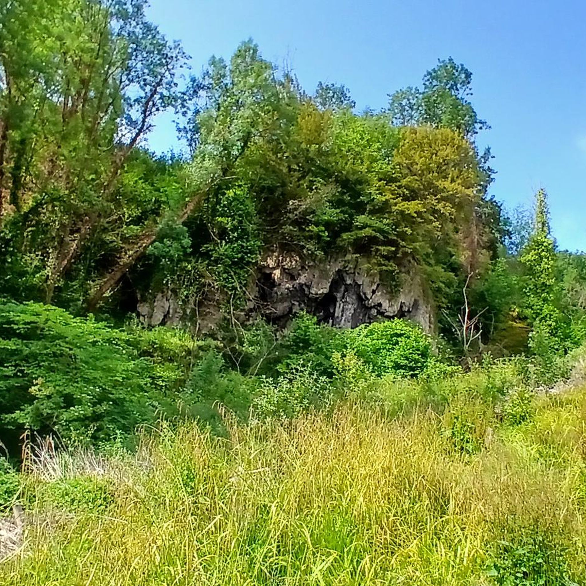
Shavers End Quarry is one of many quarries in the area located on the Abberley Hills, where the limestone is a sought after material for lime kilns, construction and the aggregates industry. Quarrying activity at Shavers End Quarry has sliced through the North West corner of Abberley Hill, providing a geological cross section for people to study the structure of the area in detail. The scale of the site, partnered with the bare rock faces allows visitors to fully appreciate the complex tectonic history of the area. Within the quarry there are two distinct rock formations exposed; the Lower Ludlow Shales Group and the Aymestry Limestone Formation. The Lower Ludlow Shales Group is the lower of the two units and consists of a series of siltstones and bluish grey mudstones. These rocks can be best seen at the southern end of the quarry, as well as on the eastern banks of the quarry lakes. The Aymestry Limestone is a blue-grey, nodular argillaceous limestone and forms the main rock face that extends along the western side of the quarry. The limestone is shaly and impure and notably contains a thick band of bentonite. Shavers End Quarry sits variably in the hinge zone and on the overturned limb of a large fold. The Lower Ludlow Shales and Aymestry Limestone at this locality are upside-down, suggested by the wrong-way-up orientation of fossils and other sedimentary structures. The age of folding has been the subject of much debate, with many different interpretations; it may have formed during the Variscan Orogeny (~300 million years ago); others suggested that folding occurred during the earlier Caledonian Orogeny (390 million years ago). However it is generally agreed that folding was instigated by thrust faulting on the East Malvern Fault system. This site is part of the Community Earth Heritage Champions Project.
0
0

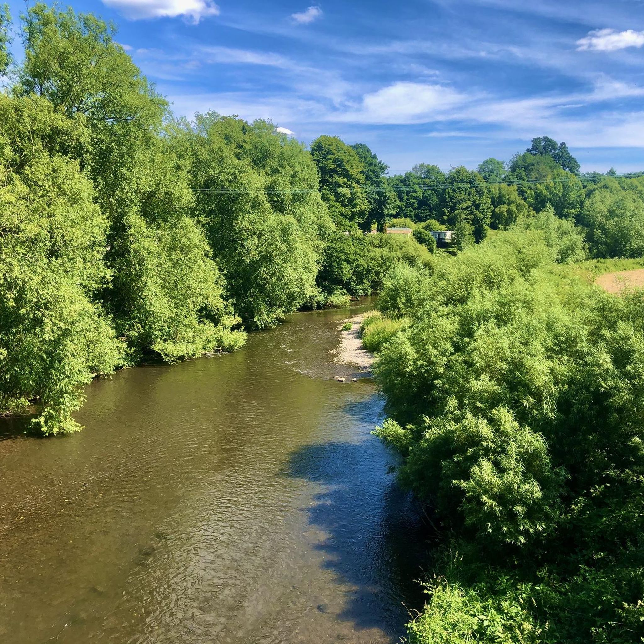
Ankerdine Hill, at 489 feet (149 m), is part of the Abberley Hills ridge in the Abberley and Malvern Hills Geopark. The ridge was formed during the Silurian period and is of considerable geological significance. The River Teme loops around the hill, surrounding it on its western, southern and eastern side, giving it superb views of the Teme Valley. It is most commonly ascended from the village of Knightwick, where the award-winning Talbot pub is a good post-hike option.
0
0
Walsgrove Hill boasts fantastic views from its 869-foot (265 m) summit towards Abberley Hill and its clock tower. It is at the northern end of a ridge that also contains Cockshot, Rodge, Pudford, Penny, Berrow and Ankerdine Hills. Formed during the Silurian period, the ridge is part of the Abberley and Malvern Hills Geopark, an area of considerable geological significance, spanning 700 million years of natural history.
0
0
スタンフォード・ウィズ・オーレトンでのの人気観光スポット

komootモバイルアプリでインスピレーションを得よう


さらに探索
これらのガイドで、最高の洞窟を探す範囲を広げましょうスタンフォード・ウィズ・オーレトンでの:
