ホルトの天然記念物・トップ7
ホルトが誇る美しい風景を見てみたいなら、ホルトの素晴らしい天然記念物・トップ7
に行ってみましょう。あなたにぴったりの場所が見つかるよう、素晴らしい天然記念物を探索するために必要なすべての情報を集めました。次のアウトドアの冒険に出かける計画の参考にしましょう。
最終更新日: 10月 17, 2026
Badbury Rings(バッドベリー・リングス) — 鉄器時代の丘砦
ハイライト • 展望台
役立つ情報 は

ダズベリー・キャンプ(ダズベリー・リングス)
ハイライト • 自然記念物
役立つ情報 は

今すぐサインアップして、こんな場所を発見しよう
最高のシングルトラック、ピーク、その他のエキサイティングなアウトドアスポットのおすすめを受け取ろう。
ニューフォレスト国立公園の白いシカ
ハイライト • 自然記念物
役立つ情報 は
ブルーベルの森
ハイライト • 自然記念物
役立つ情報 は

Bull Barrow 三角点
ハイライト • 歴史的な場所
役立つ情報 は

無料でサインアップして、さらに多くの自然記念物を発見しましょう ホルトでの。
すでにアカウントをお持ちですか?
無料アカウントで今日から始めよう
次の冒険が待っています。

コミュニティからのヒント


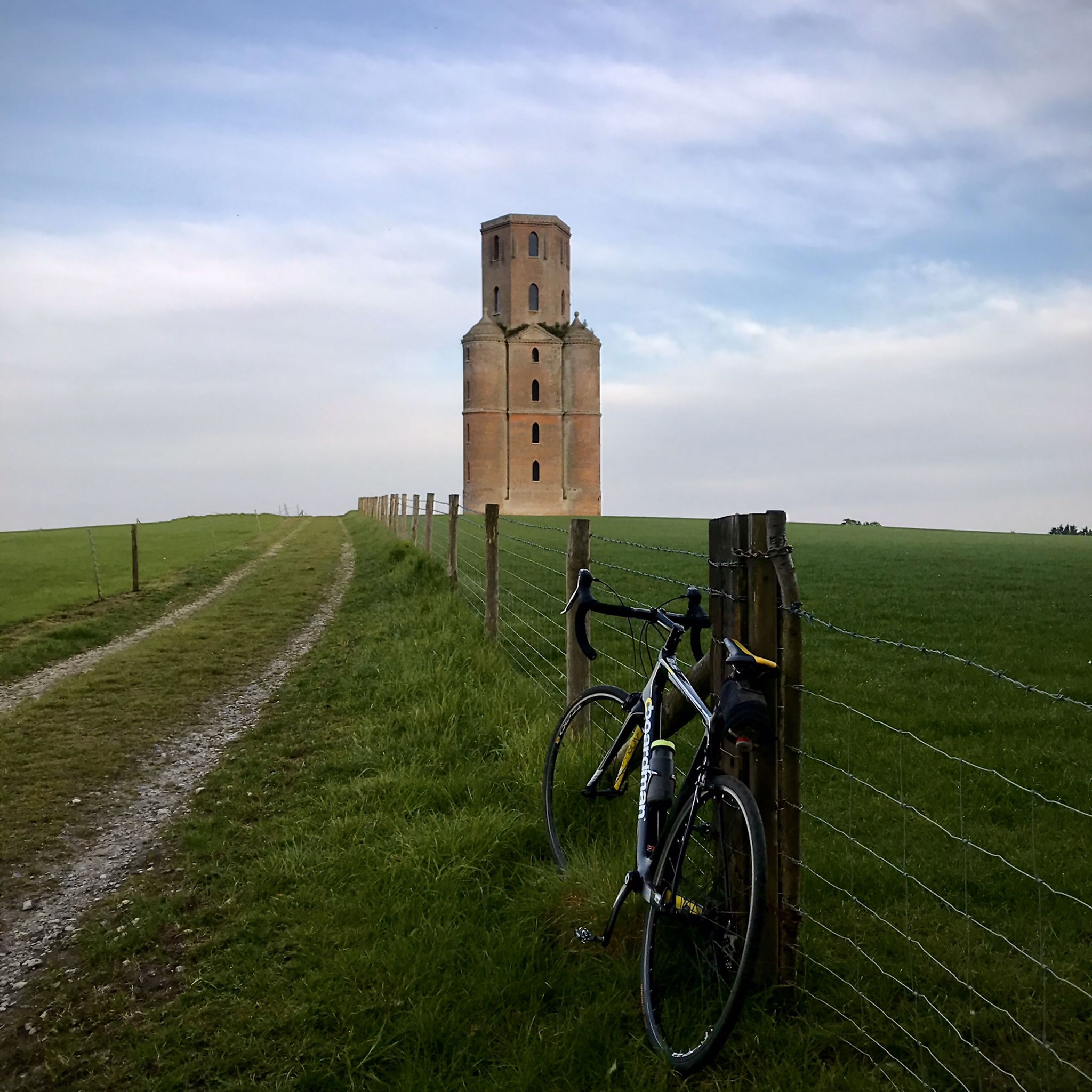
Badbury Rings is an Iron Age hill fort and Scheduled Monument in east Dorset, England. In the Roman era a temple was located immediately west of the fort, and there was a Romano-British town known as Vindocladia ( Known today as Shapwick ) a short distance to the south-west. It sits over 300 feet above sea level, and there are two main phases of construction; the first covered 18 acres and was defended by multiple ditches, while the second was more than twice the size, covering 41 acres and defended by a single ditch and rampart. These ramparts make for great walking, but imagine the terror of trying to scale one whilst under attack from the occupants. Once you'd scaled one, there were more waiting for you. No wonder it was the last fort to be sacked by the Romans. Wonder just how many soldiers died trying to take it. Until 1983 Badbury Rings was privately owned as part of the Kingston Lacy estate, and the owners discouraged investigation of the site.[2] The site now belongs to the National Trust.[2] A survey of the hillfort by the RCHME was begun in 1993. The summit area was cleared of undergrowth by the National Trust in 1997 and the conifer plantation was thinned out. A survey in 1998, which recorded 28 potential hut sites within the ramparts, although some depressions are probably caused by uprooted trees. The first excavations, led by Martin Papworth, took place in 2004, when three evaluation trenches were dug. Almost all of the pottery found was dated to the Late Iron Age. The current evidence does not suggest that the hillfort was a principal settlement in the Early Iron Age. It seems likely that the hillfort became depopulated towards the end of the Late Iron Age, perhaps as the Vindocladia settlement near Shapwick developed.
1
0
Everywhere I looked on this section were wild deer. The only time I've ever seen a white deer. it looked so majestic amongst the other deer.
2
0

Bradbury Rings is an Iron Age hill fort. The Romans built a temple here and there was a Romano-British town known as Vindocladia nearby. Today, you can run the earthworks and around the edge, it's fun and fascinating. The National Trust own and manage the site but it's open access to all.
0
0
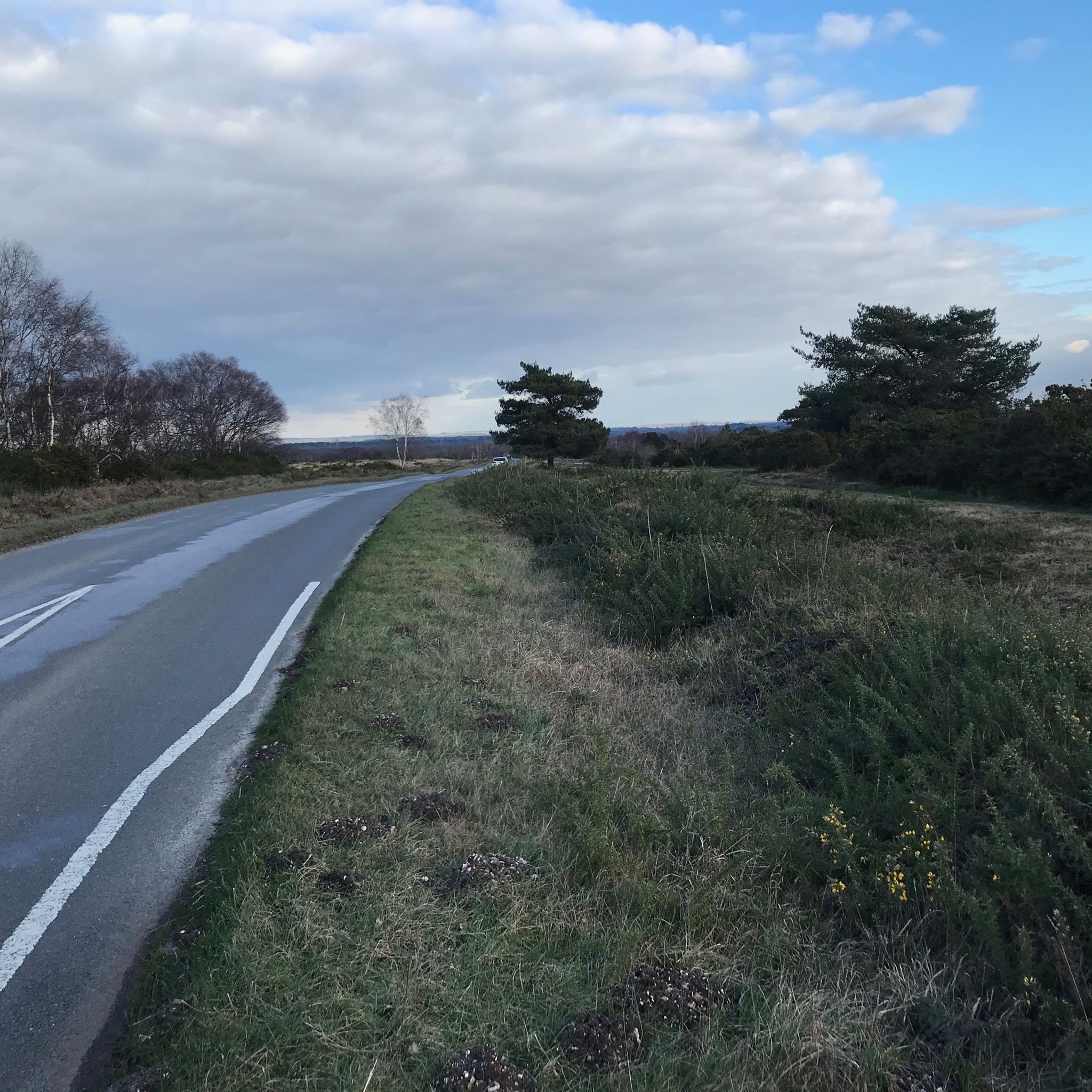
The trig point on Bull Barrow to the north of Holt Heath stands at 57m. The barrow is Neolithic or Bronze age.
0
0

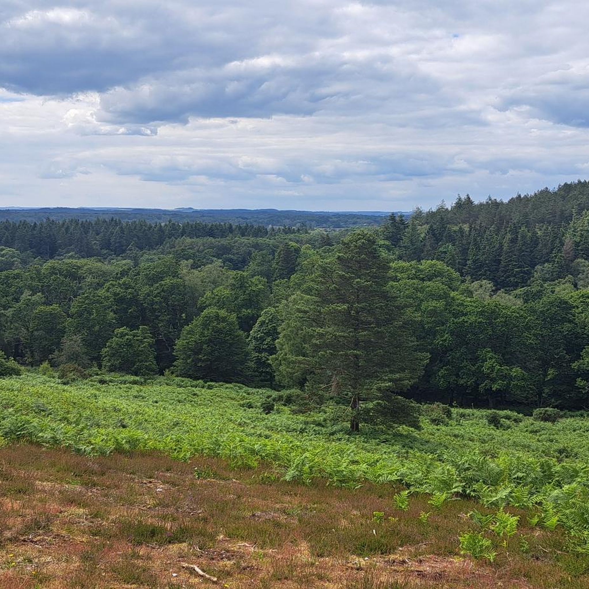
Protected bluebell woodland area (National Trust, free access).
0
0
ホルトでのの人気観光スポット

komootモバイルアプリでインスピレーションを得よう


さらに探索
これらのガイドで、最高の洞窟を探す範囲を広げましょうホルトでの:
