ドリーンの天然記念物・トップ4
ドリーンが誇る美しい風景を見てみたいなら、ドリーンの素晴らしい天然記念物・トップ4
に行ってみましょう。あなたにぴったりの場所が見つかるよう、素晴らしい天然記念物を探索するために必要なすべての情報を集めました。次のアウトドアの冒険に出かける計画の参考にしましょう。
最終更新日: 8月 24, 2026
ソーウェル山頂
ハイライト • 自然記念物
役立つ情報 は

バナハーの森
ハイライト • 自然記念物
役立つ情報 は
今すぐサインアップして、こんな場所を発見しよう
最高のシングルトラック、ピーク、その他のエキサイティングなアウトドアスポットのおすすめを受け取ろう。
無料新規登録
クロックモア山頂付近のブランケットボグと泥炭に関する案内板
ハイライト • 自然記念物
There …
役立つ情報 は
Mullaghclogha山頂
ハイライト • 自然記念物
The hilltop produces views all over the incredible mountain range of the Sperrins including the nearby Mullaghdoo, Sawel & Dart peaks.
役立つ情報 は
スパーリンズ山脈の眺め
ハイライト • 登山
役立つ情報 は
無料アカウントで今日から始めよう
次の冒険が待っています。
ログインまたは登録
コミュニティからのヒント

Wear waterproof shoes/boots because even on the longest day of the year it's still wet underfoot
0
0

Mullaghclogha is a 635m high summit located in the beautiful Sperrins mountains of Northern Ireland. The hilltop produces views all over the incredible mountain range of the Sperrins including the nearby Mullaghdoo, Sawel & Dart peaks.
2
0
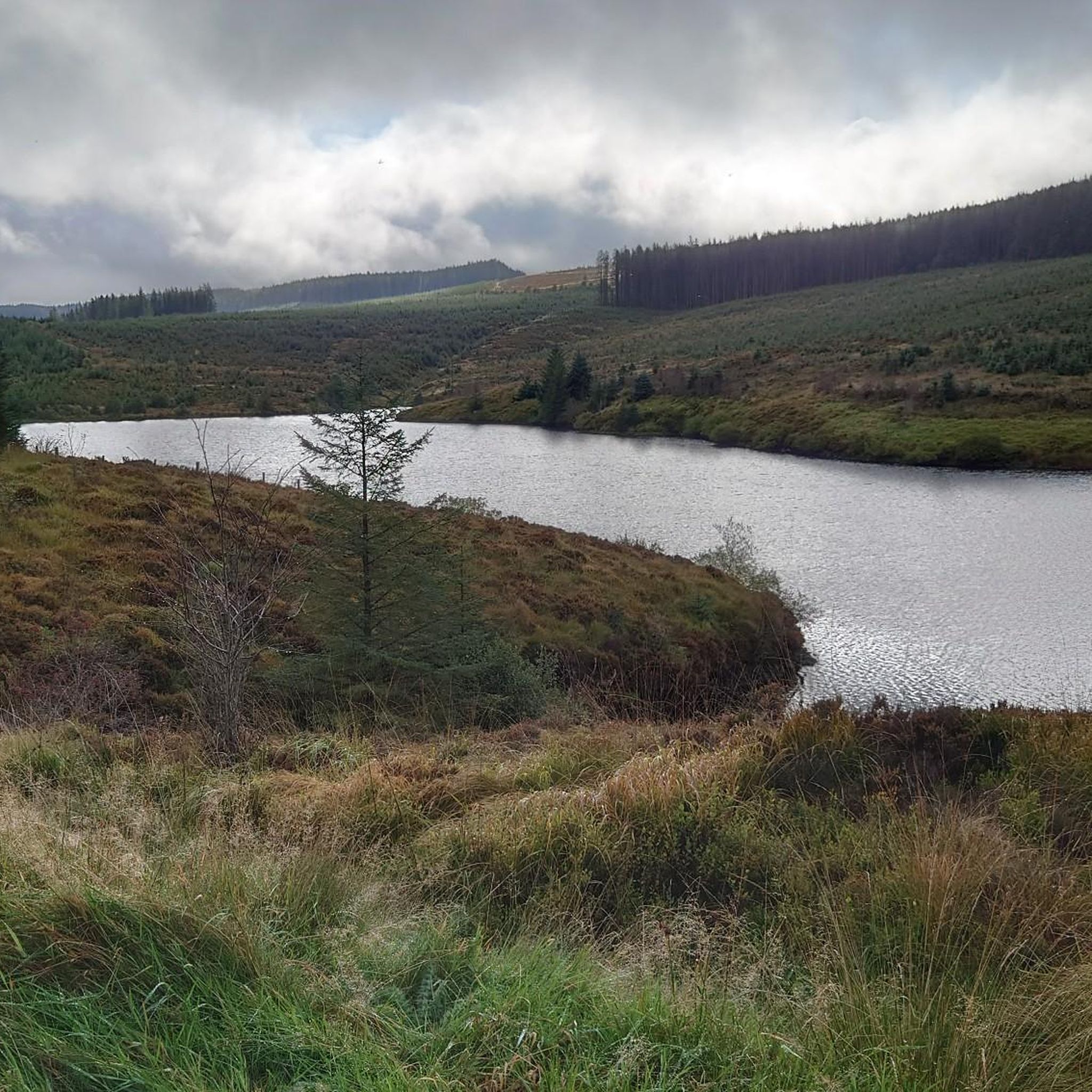
Banagher Forest is a large coniferous woodland featuring beautiful sitka spruce and peat covered slopes. It is one of the oldest ancient woodlands in the whole of Ireland and a real hidden gem.
2
0
There is an info board here near the peak of Crockmore that highlights some fascinating facts about blanket bog and the importance of it in terms of wildlife habitat. There is also some information about how historically the Irish have used blanket bog as fuel to heat the home and cooking!
2
0
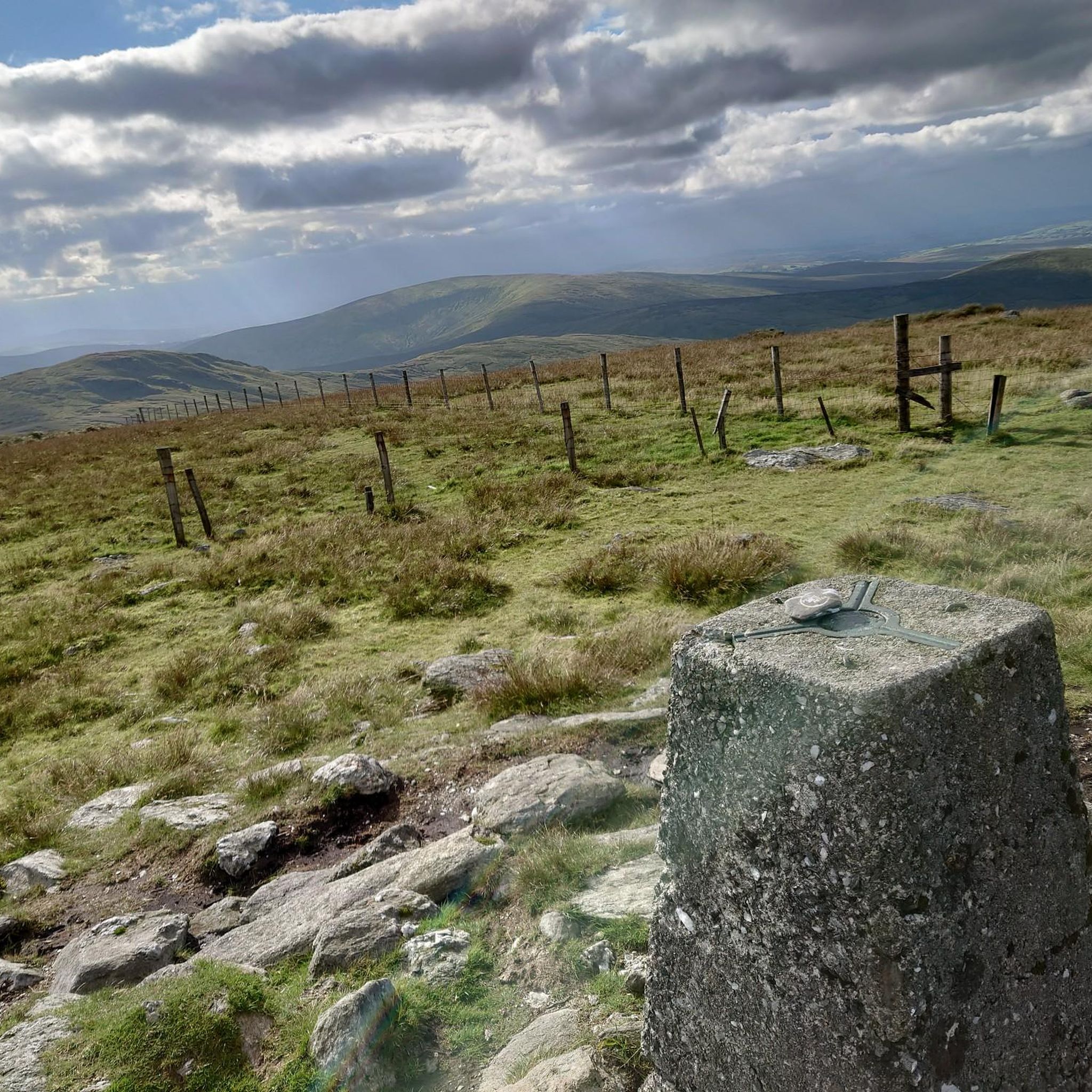
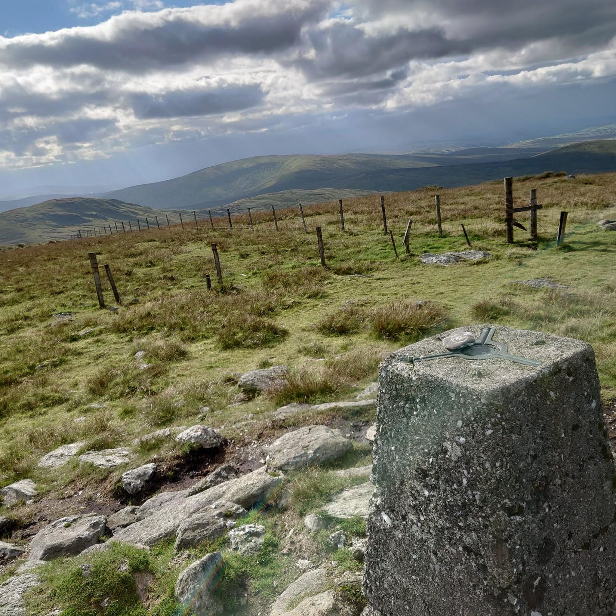
Sawel Mountain stands at 678m and is the highest peak in the Sperrins range, and the 8th highest in Northern Ireland. The vegetation around the summit consists of montane heathland, featuring a medley of plant life including heather, bilberries and cowberries. From the summit, you can enjoy uninterrupted views across the countryside of County Londonderry and Tyrone. It's all downhill from this point on, so you can enjoy a scenic descent back to the carpark.
1
0
The beautiful winding road of Tamnagh takes you through the heart of Sperrins AONB. You can enjoy views toward the Sperrins ridge including mountains Sawel, Dart, and Mullaghdoo. It's a tough climb up in this section, but the views at the top will make it all worthwhile.
1
0
Sawel Mountain stands at 678m and is the highest peak in the Sperrins range, and the 8th highest in Northern Ireland. The vegetation around the summit consists of montane heathland, featuring a medley of plant life including heather, bilberries and cowberries. From the summit, you can enjoy uninterrupted views across the countryside of County Londonderry and Tyrone.
4
0
ドリーンでのの人気観光スポット

komootモバイルアプリでインスピレーションを得よう


