ランディドノーの天然記念物・トップ15
ランディドノーが誇る美しい風景を見てみたいなら、ランディドノーの素晴らしい天然記念物・トップ15
に行ってみましょう。あなたにぴったりの場所が見つかるよう、素晴らしい天然記念物を探索するために必要なすべての情報を集めました。次のアウトドアの冒険に出かける計画の参考にしましょう。
最終更新日: 8月 24, 2026
グレート・オーム山頂
ハイライト • 展望台
役立つ情報 は

カエル・セイオンの丘砦
ハイライト • 歴史的な場所
役立つ情報 は

今すぐサインアップして、こんな場所を発見しよう
最高のシングルトラック、ピーク、その他のエキサイティングなアウトドアスポットのおすすめを受け取ろう。
無料新規登録
カエル・セイオンのヒルフォート(コンウィ・マウンテン)
ハイライト • 歴史的な場所
役立つ情報 は

Ffynnon Letty Fadoc ローマ時代の井戸
ハイライト • 歴史的な場所
役立つ情報 は

リトル・オーム山頂と三角点
ハイライト • 自然記念物
It's a limestone outcrop like the …
役立つ情報 は

無料でサインアップして、さらに多くの自然記念物を発見しましょう ランディドノーでの。
無料新規登録
すでにアカウントをお持ちですか?
無料アカウントで今日から始めよう
次の冒険が待っています。
ログインまたは登録
ランディドノーでのの他の冒険

コミュニティからのヒント

地元ではFfynnon Rufeinigとして知られるローマの泉は、石灰岩の岬の小道の南側にある古代の泉です。 伝説と現実:名前はローマ占領時代の活気ある工学的な偉業を示唆しており、地元ではローマの鉱夫が近くの銅鉱石を洗うためにその水を使用したという伝統が長くありましたが、現代の歴史家はそれが少しの希望的観測であったと考えています。 しかし、オルムの他の場所でローマ時代の銅の「ケーキ」や工芸品が発見されており、彼らが岬の鉱物資源を確実に採掘していたことを証明しています。 今日のサイト:夏の激しい干ばつにより、石壁の水槽が乾燥したり、ささやかな水たまりになったりすることがありますが、泉は小道の脇に注意深く再建されています。 明るい石のプラークがその場所を示しており、古代の風景を探索する際に発見できる、雰囲気のある歴史的な民間伝承の一部となっています。
0
0
Mynydd y Dref (Welsh for 'mountain of the town'), also known as Conwy Mountain, is a hilly area to the west of the town of Conwy, in North Wales. To the north it overlooks the sea of Conwy Bay, and to the south lie the foothills of the Carneddau range of mountains, of which it forms a part. Mynydd y Dref is the remains of an ancient volcano that erupted about 450 million years ago. At the summit of Mynydd y Dref are the Neolithic Hut Circles and the Iron Age hillfort of Castell Caer Seion (sometimes called Castell Caer Lleion). Castell Caer Seion comprised a stone walled fort, and remains show this to have been an extensive site, incorporated more than 50 hut circles and levelled platform houses, and with a citadel and outposts.
0
0
In the second period a smaller and stronger fort was constructed at the west end of the hill. The older fort appears to have still been occupied but there was no access between the two. The smaller fort had somewhat wider walls and a strong gateway protected by bastions on either side and probably a ‘fighting tower’. Comparison with similar forts suggests that the wall would have been about 3 to 4m high with a walkway and breastwork wall on top. The defences were further reinforced by the addition of deep ditches at the east, north-east, west and south-west (E). The entrance was also protected by an ‘outwork’ – an outer wall that made rapid, approach to the entrance impossible and exposed any attackers to missiles from the defenders on the overlooking inner walls. The entrance through this outwork was later blocked. The excavations carried out in 1951 found a hearth inside one house in the small fort as well as spindle whorls (for spinning wool) and a quern (for grinding corn). In the large fort the house next to the entrance contained over 400 sling stones, so perhaps was a ‘guard chamber’. It may be that the small fort was built during the period between the first Roman attack on north Wales in 60AD and the final conquest in 78 AD. The absence of Roman period finds from the fort suggested that it was not occupied after the Roman conquest, and so it may have been destroyed and deserted. However, there is a tradition linking the fort with Maelgwn Gwynedd in the 6th century and it has been suggested that the small fort belongs to that period. Outside the fort are some remains of stone-walled roundhouses that may have been occupied at the same time as the fort or during the Roman period. One lies in a slight level hollow at the north side of the North Wales Path just east of the path up to the fort. It consists of one large roundhouse and probably several other smaller buildings. The other lies on a terrace on the slope below the south-east angle of the fort and consists of just a single large roundhouse.
0
0
Caer Seion is a large and strong hill fort. Excavations were carried out in 1951 but did not produce any dating evidence. However, it is believed to have been occupied during the Middle to Late Iron Age, about 300 BC to 1st century AD and it seemed likely that the fort was abandoned when the Romans conquered North Wales in 78 AD. The fort had a commanding position overlooking Conwy Bay and estuary and over the ancient trackway that followed the coastal ridge, continuing westwards towards Anglesey. The next nearest strong forts and possibly tribal centres are at Pen-y-dinas on the Great Orme, Pen-y-gaer above Llanbedrycennin and Braich y Dinas above Penmaenmawr. The fort had two periods of defence. In the first period a single stone wall of 3 to 4m width encircled the whole hill top apart from at the steep north side where no defence was needed. It had one entrance, at the south side, which would have had a timber gate. The greater width of the wall around the gate suggests it had a ‘fighting tower’ over it. Within the fort were over 50 timber round houses, many just behind the rampart at the south side (to shelter from the wind) and they are visible as circular platforms terraced into the hill slope. They varied in size from about 4m to 8m diameter and traces of walling survive at some of them. In one place there is a possible corn-drying kiln.
0
0
Trig point on top of the little orme. Gives panoramic views of the Irish sea, Snowdonia, Conwy, Denbighshire, Llandudno and the Great Orme.
0
0
So much to discover on this little gem of a place.
0
0
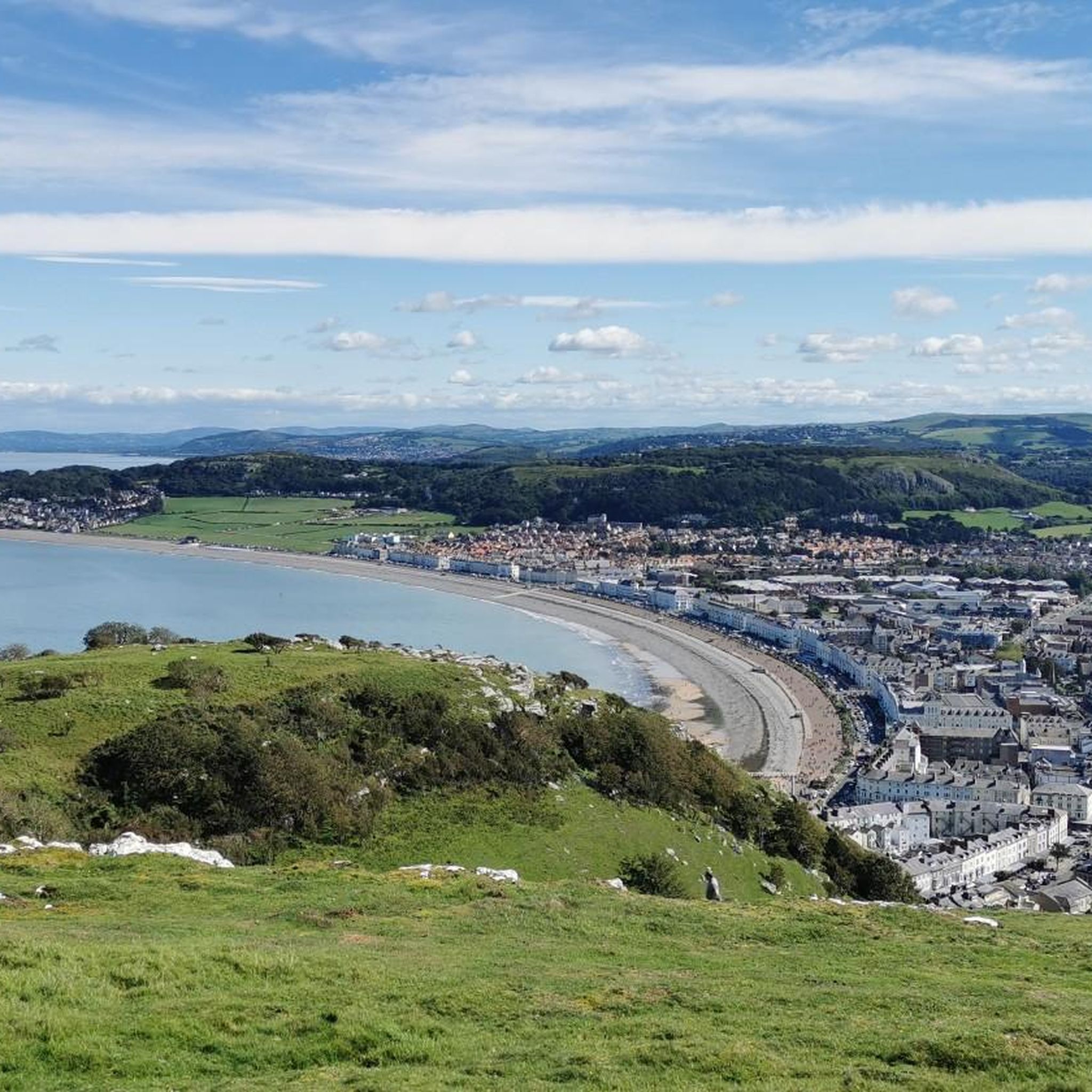
Beatiful views across the bay of llandudno and Snowdonia park in the distance.
0
0

Great little cafe at the summit complex, always good for a coffee and a flapjack !!
1
2
ランディドノーでのの人気観光スポット

komootモバイルアプリでインスピレーションを得よう


さらに探索
これらのガイドで、最高の洞窟を探す範囲を広げましょうランディドノーでの:
