アシュリーの天然記念物・トップ9
アシュリーが誇る美しい風景を見てみたいなら、アシュリーの素晴らしい天然記念物・トップ9
に行ってみましょう。あなたにぴったりの場所が見つかるよう、素晴らしい天然記念物を探索するために必要なすべての情報を集めました。次のアウトドアの冒険に出かける計画の参考にしましょう。
最終更新日: 10月 16, 2026
セント・キャサリンの丘
ハイライト • 歴史的な場所
役立つ情報 は

イッチェン川
ハイライト • 川
翻訳者 Google •
役立つ情報 は

今すぐサインアップして、こんな場所を発見しよう
最高のシングルトラック、ピーク、その他のエキサイティングなアウトドアスポットのおすすめを受け取ろう。
Chilbolton Cow Common
ハイライト • 自然
役立つ情報 は

ダネベリーの鉄器時代の丘陵要塞
ハイライト • 歴史的な場所
役立つ情報 は

ショーフォード・ダウン戦争記念碑
ハイライト • 記念碑
役立つ情報 は
無料でサインアップして、さらに多くの自然記念物を発見しましょう アシュリーでの。
すでにアカウントをお持ちですか?
無料アカウントで今日から始めよう
次の冒険が待っています。
コミュニティからのヒント

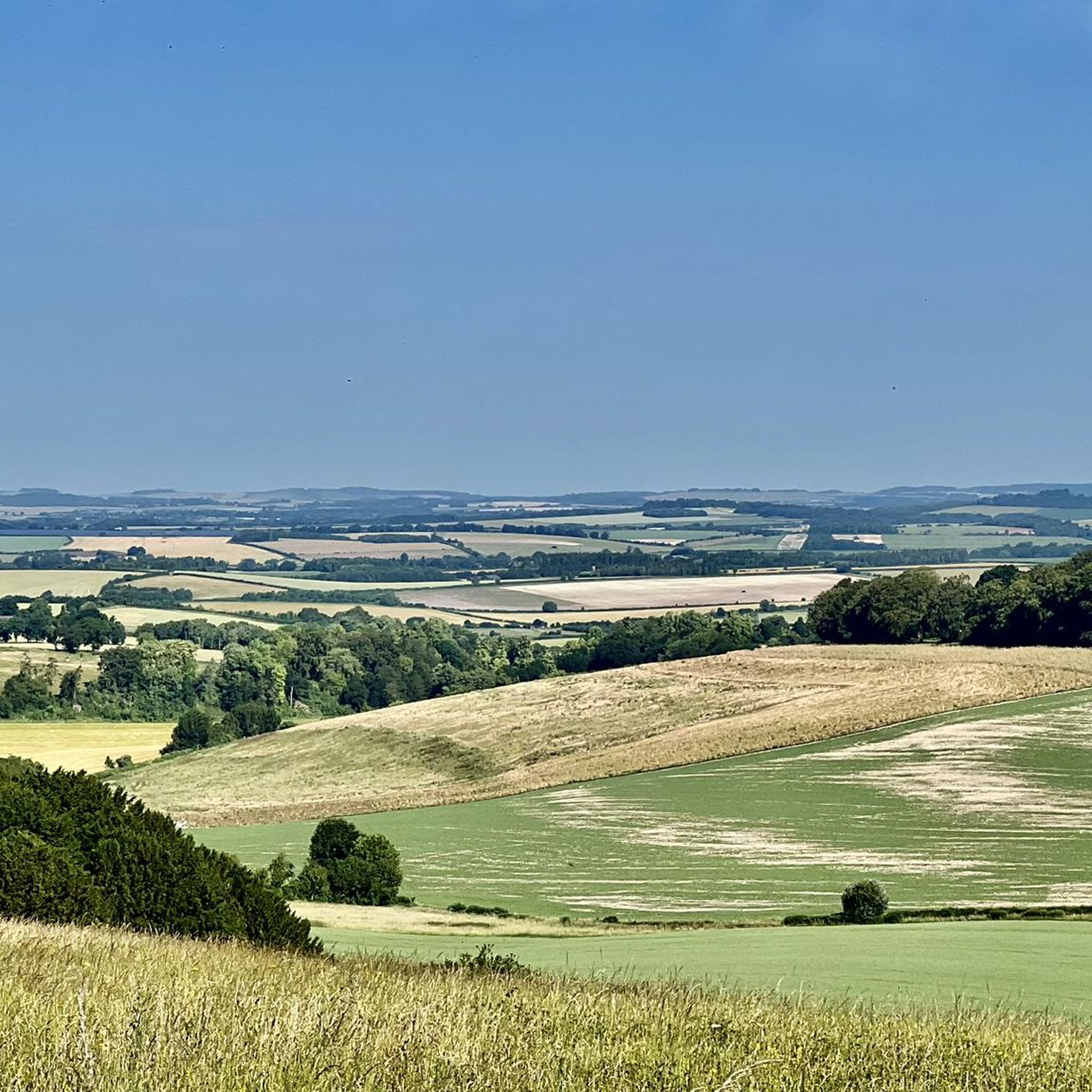
St Catherine's Hill is a prominent chalk downland hill on the outskirts of Winchester, notable for its layered historical and ecological importance. Now a biological Site of Special Scientific Interest (SSSI) managed as a nature reserve, its summit is ringed by the impressive earthworks of a univallate Iron Age hillfort dating back over 2,000 years. The top is marked by a distinctive copse of beech trees, known as 'The Clump', which contains the scant ruins of the 12th-century St Catherine's Chapel, while the hillside features a turf-cut labyrinth known as the Miz-Maze; the entire site provides spectacular views over the city, the Itchen Valley, and supports a rich variety of wildflowers and butterflies, including the protected Chalkhill Blue.
1
0
The River Itchen is one of England's internationally renowned chalk streams, rising south of New Alresford in Hampshire and flowing for approximately 28 miles through the historic city of Winchester before eventually meeting Southampton Water. Famed for its crystal-clear, stable-temperature, and nutrient-rich waters, the river supports an exceptionally diverse ecosystem, leading to its designation as a Site of Special Scientific Interest (SSSI) and a Special Area of Conservation (SAC), vital for species like the Atlantic salmon, otter, and southern damselfly. Historically, the river was modified to form the Itchen Navigation, a former canal that once connected Winchester and Southampton for trade, and today its valley is characterised by a system of disused water-meadows, making it a globally significant natural habitat.
1
0


Dogs will love splashing around in the River Test that crosses the common on the Chilbolton side.
0
1
Strangely stumbled across this place as was driving to another location. So glad I turned off road and followed the sign to it.
0
0

Beautiful spot to watch the sunrise and look down at the city lights in the distance. Great route up with steps from the south west side of the hill
2
0

A super cool but heart thumping 220ft climb up St Catherine’s Hill’s wooden stairs reveals show-stopping views of Winchester city as well as the Itchen Valley and the downland it nestles in. At the summit are the earthworks of an Iron Age fort, buried ruins of the Norman chapel that gives the site its name, and a copse of beech trees. In the summer you’ll be able to hear the cackle of a woodpeckers, spy buzzards and kestrels. It is such a great place to run or walk to.
1
0

This place is steeped in history. Built 2500 years ago and occupied for nearly 500 years. With the ramparts still very visible. Some lovely views form the top.
0
0
アシュリーでのの人気観光スポット

komootモバイルアプリでインスピレーションを得よう


さらに探索
これらのガイドで、最高の洞窟を探す範囲を広げましょうアシュリーでの:
