急なの天然記念物・トップ18
Steep周辺の最高の自然記念物は、サウス・ダウンズ国立公園内の、起伏のあるチョークの丘、鬱蒼とした森林、景色の良い展望スポットが特徴です。この地域は、重要なチョークの草原、古代の丘の砦、指定された自然保護区を擁しています。これらの場所は、史跡を探索し、多様な動植物を観察する機会を提供します。Steepの地形は、顕著な丘とハンプシャー全域にわたる広大な眺めを含んでいます。
Steep周辺の最高の自然記念物
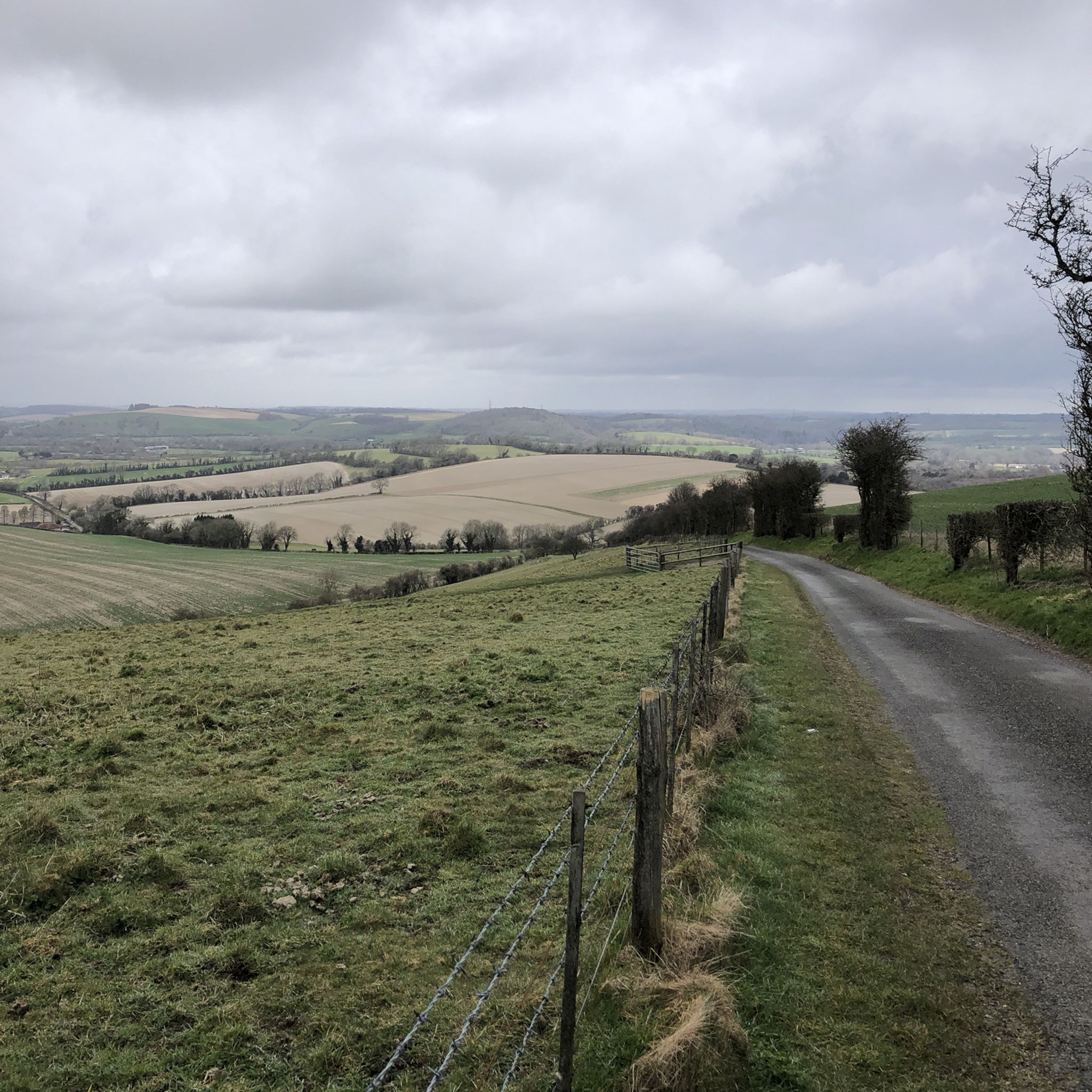
- 最も人気のある自然記念物は、標高271mの自然記念物であるバトサー・ヒルです。ここはサウス・ダウンズで最も高い地点であり、ハンプシャーとチャンネルの景色を眺めることができます。
- もう一つの必見スポットは、素晴らしい景色を望む登り道であるオールド・ウィンチェスター・ヒルです。砦自体は、実質的な土塁を除いてほとんど残っていませんが、歴史的な視点を提供しています。
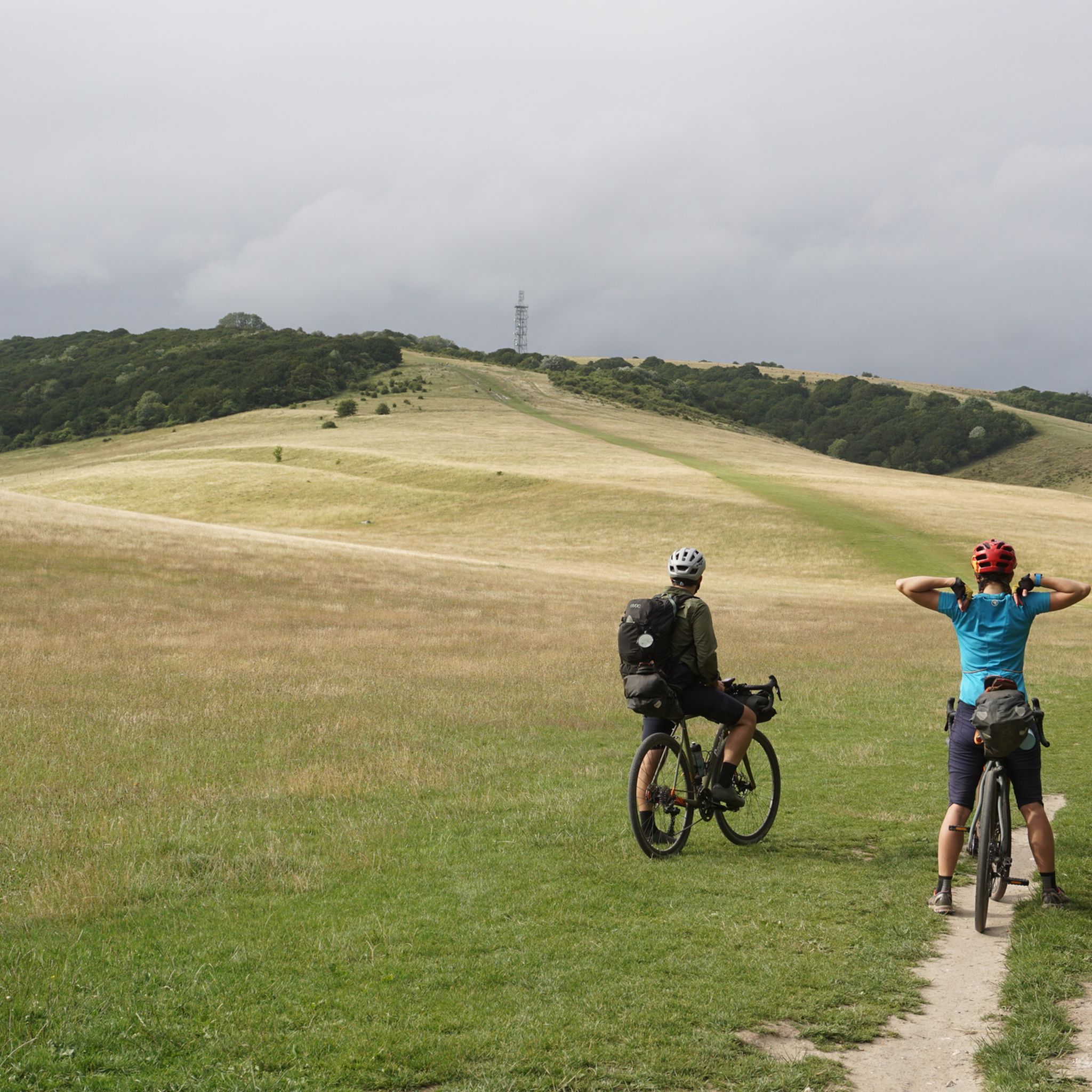
- 訪問者は、イギリスで最も広大な古代チョーク草原の一つであるハーティング・ダウンも気に入っています。この時代を超越した草原の中では、野生のハーブ、ピラミッドオーキッド、そして美しいジュニパーを見つけることができます。
- Steepは、チョークの草原、古代の丘の砦、自然保護区で知られています。この地域は、史跡から重要な生態系の生息地まで、見たり探索したりできるさまざまな自然記念物を提供しています。
- Steep周辺の自然記念物は、komootコミュニティによって高く評価されています。これらの4つのハイライトは120件以上の「いいね!」を受け取り、29枚の写真が掲載されており、アウトドア愛好家にとっての魅力を示しています。
最終更新日: 8月 23, 2026
バッサー・ヒル
ハイライト • 自然記念物
役立つ情報 は

オールド・ウィンチェスター・ヒル
ハイライト • 登山
役立つ情報 は

今すぐサインアップして、こんな場所を発見しよう
最高のシングルトラック、ピーク、その他のエキサイティングなアウトドアスポットのおすすめを受け取ろう。
無料新規登録
オールド・ウィンチェスター・ヒルの鉄器時代の砦
ハイライト • 歴史的な場所
役立つ情報 は
ハーティング・ダウン
ハイライト • 自然記念物
役立つ情報 は
トーベリー・ヒルの鉄器時代のヒルフォート
ハイライト • 歴史的な場所
役立つ情報 は

無料でサインアップして、さらに多くの自然記念物を発見しましょう 急なでの。
無料新規登録
すでにアカウントをお持ちですか?
無料アカウントで今日から始めよう
次の冒険が待っています。
ログインまたは登録
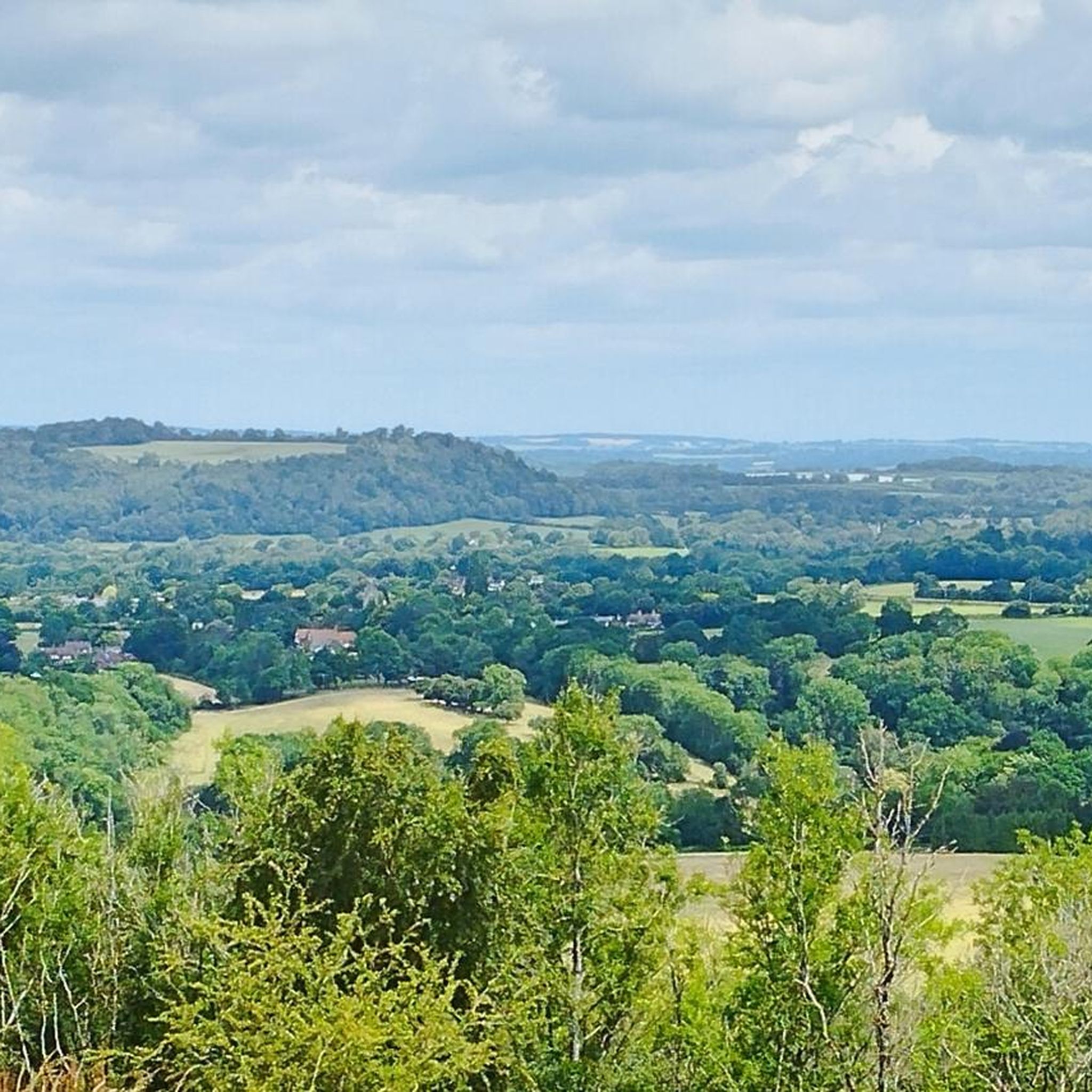
コミュニティからのヒント

Head south from Harting down to join bridle path heading South down to Centurion way and thence to Chichester railway station, 11 miles. Mainly a descent, Just one climb and then the joy of the recently upgraded cycle path the last 5 miles to Chichester. Winchester railway station to Chichester railway station 44 miles.
0
0

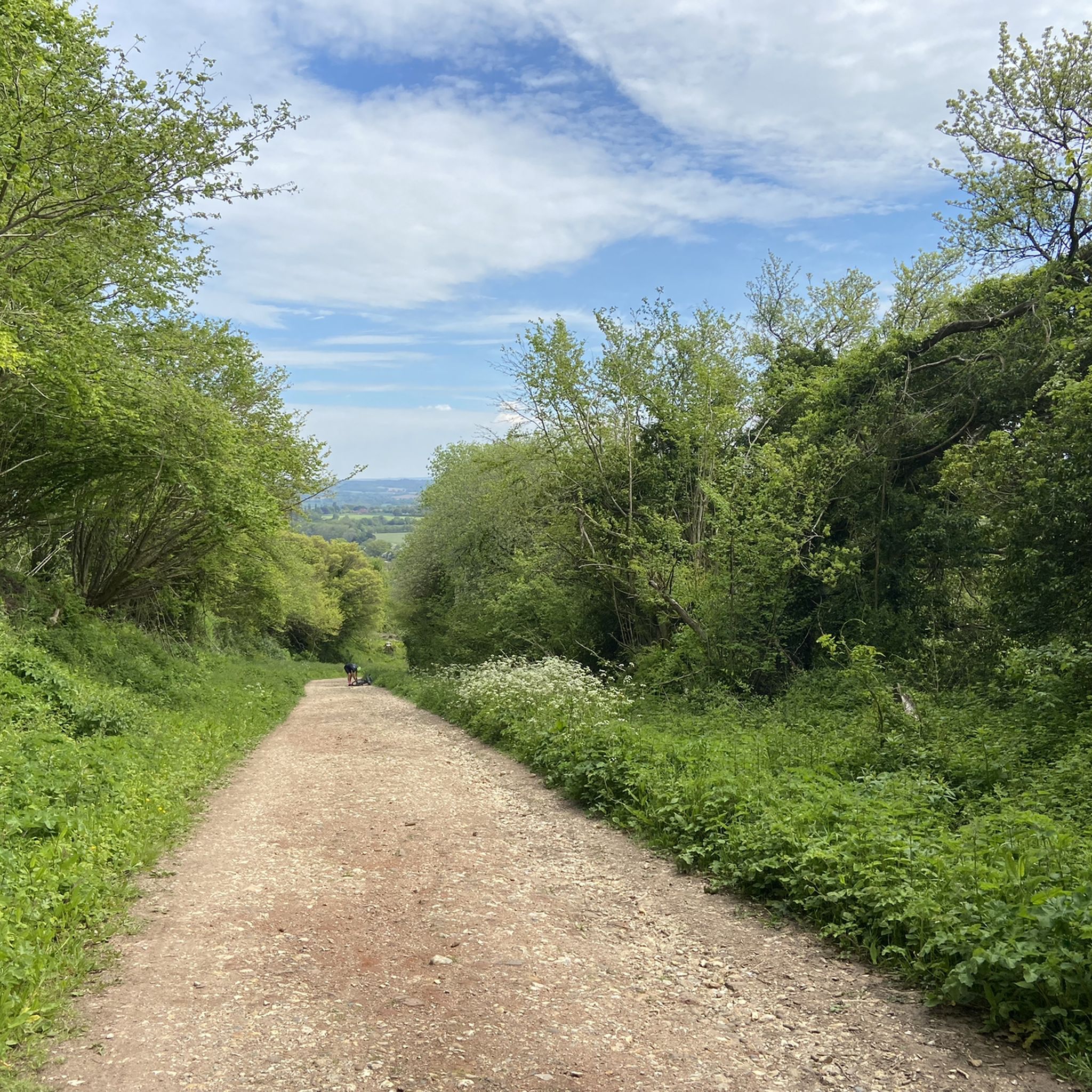
This was on the last leg of the King Alfred’s Way for me and was one of the few descents in the whole trip i walked, dry conditions but on a loaded gravel - the descent was more treacherous than i was prepared to risk / but amazing views from the top and a fast through the fields ride from the bottom.
1
0

This is a beautiful Iron Age hill fort that is now a national nature reserve, and it is a great area to bring the family to enjoy the beautiful views from the top. It has come a long way from being a mortar testing range for the British Army back in WW2.
0
0

Torberry Hill is an Iron Age hillfort in West Sussex. It is a Scheduled Ancient Monument. The hillfort is located within the parish of Harting, within the South Downs National Park. The hillfort has a pear-shaped layout and covers an area of 2.8 hectares. It has a low dump rampart and a ditch that enclose the western part of the hill. The eastern part is defended by the steep slope of the hill. The interior of the hillfort contains several storage pits that date to the Iron Age. The hillfort was built in several phases, starting from the 5th century BC. Torberry Hill is also a mountain summit that is 156 metres high with a prominence of 65 metres. The summit can be identified by a grass mound. There are several walks that can be done around Torberry Hill, such as the one to West Harting Down or Beacon Hill.
3
0

Trig points within the Old Winchester Hill fort.
0
0

Worth the slippery, chalky muddy ascent from Mile End lane - looking forward to repeating the route in summer with less mud!
1
0
Plate by the trig point on top of Old Winchester Hill
0
0

One of my favourite places, full of magic. It can be pretty windy but that usually makes for interesting fast moving clouds. Make sure to bring a coat and a picnic!
0
0
急なでのの人気観光スポット

komootモバイルアプリでインスピレーションを得よう


さらに探索
これらのガイドで、最高の洞窟を探す範囲を広げましょう急なでの:
