ハーストピアポイントアンドセイヤーズコモンの天然記念物・トップ19
ハーストピアポイントアンドセイヤーズコモンが誇る美しい風景を見てみたいなら、ハーストピアポイントアンドセイヤーズコモンの素晴らしい天然記念物・トップ19
に行ってみましょう。あなたにぴったりの場所が見つかるよう、素晴らしい天然記念物を探索するために必要なすべての情報を集めました。次のアウトドアの冒険に出かける計画の参考にしましょう。
最終更新日: 10月 2, 2026
ディッチリング・ビーコン
ハイライト • 自然記念物
役立つ情報 は

デビルズ・ダイク
ハイライト • 歴史的な場所
役立つ情報 は

今すぐサインアップして、こんな場所を発見しよう
最高のシングルトラック、ピーク、その他のエキサイティングなアウトドアスポットのおすすめを受け取ろう。
ブラックキャップ山頂と三角点
ハイライト • 展望台
役立つ情報 は

サセックス・ボーダー・パス:ディッチリング・ビーコンからフィッシャーズゲート
ハイライト (セグメント) • トレイル
役立つ情報 は

サウスダウンズ・ウェイ — ファルキング・ヒル尾根
ハイライト (セグメント) • 自然記念物
役立つ情報 は

無料でサインアップして、さらに多くの自然記念物を発見しましょう ハーストピアポイントアンドセイヤーズコモンでの。
すでにアカウントをお持ちですか?
無料アカウントで今日から始めよう
次の冒険が待っています。
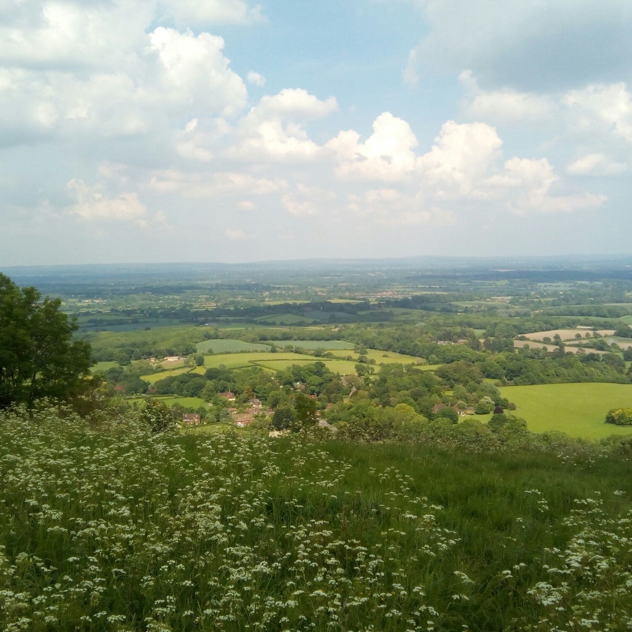
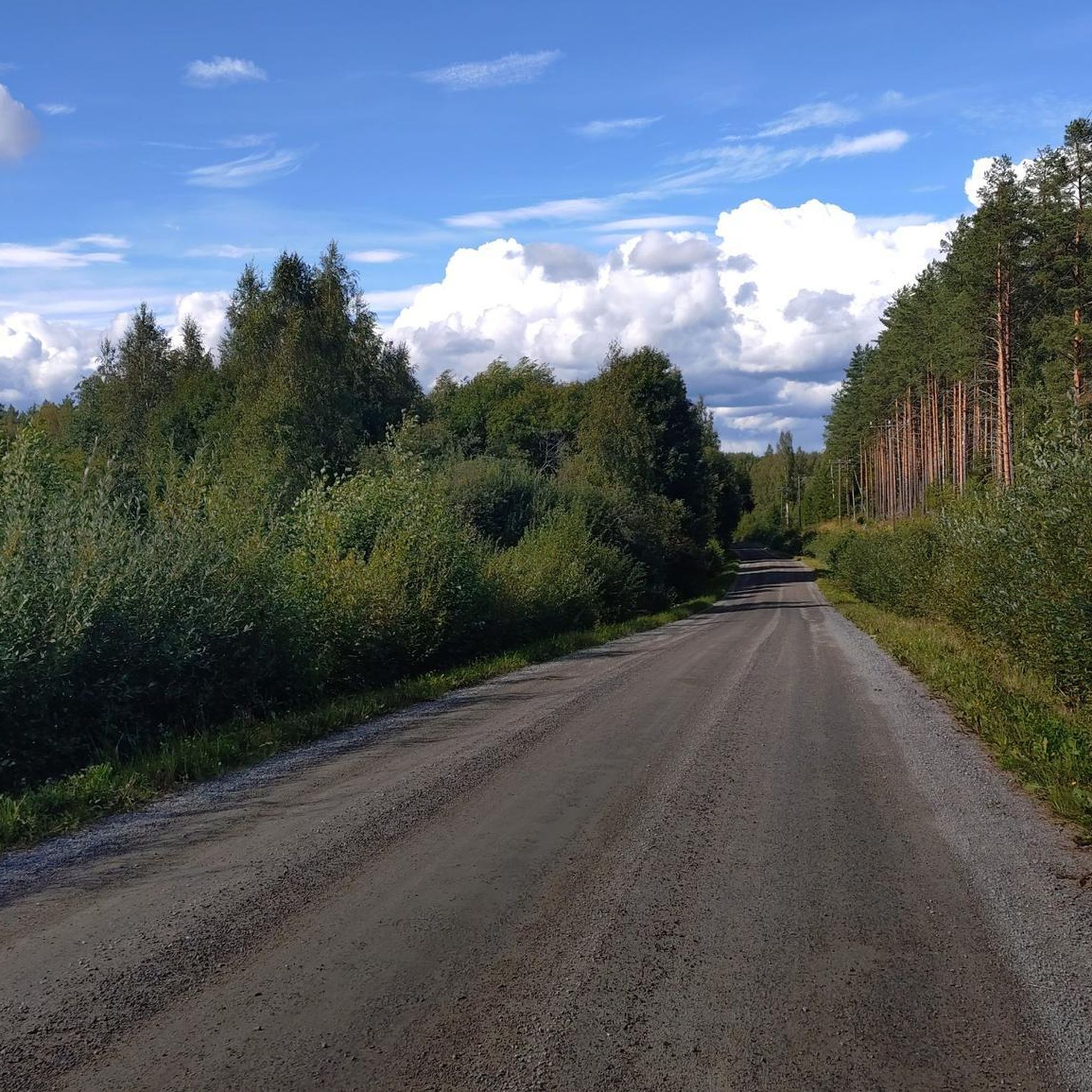
コミュニティからのヒント

nice steady climb with breathtaking views, if you turn left at the gate (before crossing) you will see a path to your further left leading to a pub called Sheppard and Dog with a nice beer garden - this is a S2 descent so be careful
0
0


The Sussex Border Path is a long-distance footpath that is nearly 150 miles (241 km) long and goes around the county boundary of Sussex. It is a relatively new trail initiated in 1983, and since its inception, the route has only traced the county boundary. As Sussex has been split administratively into east and west for many years, there is now a new border path section running from East Grinstead to Brighton, reflecting these east and west sections. This is part of that section and runs from Ditchling Beacon to Fishersgate, or vice versa. The section is 12 miles (19 km) long and consists of Ditchling Beacon itself, sections of beautiful bridleways with sea views, and the famous Chattri Indian War Memorial.
1
1
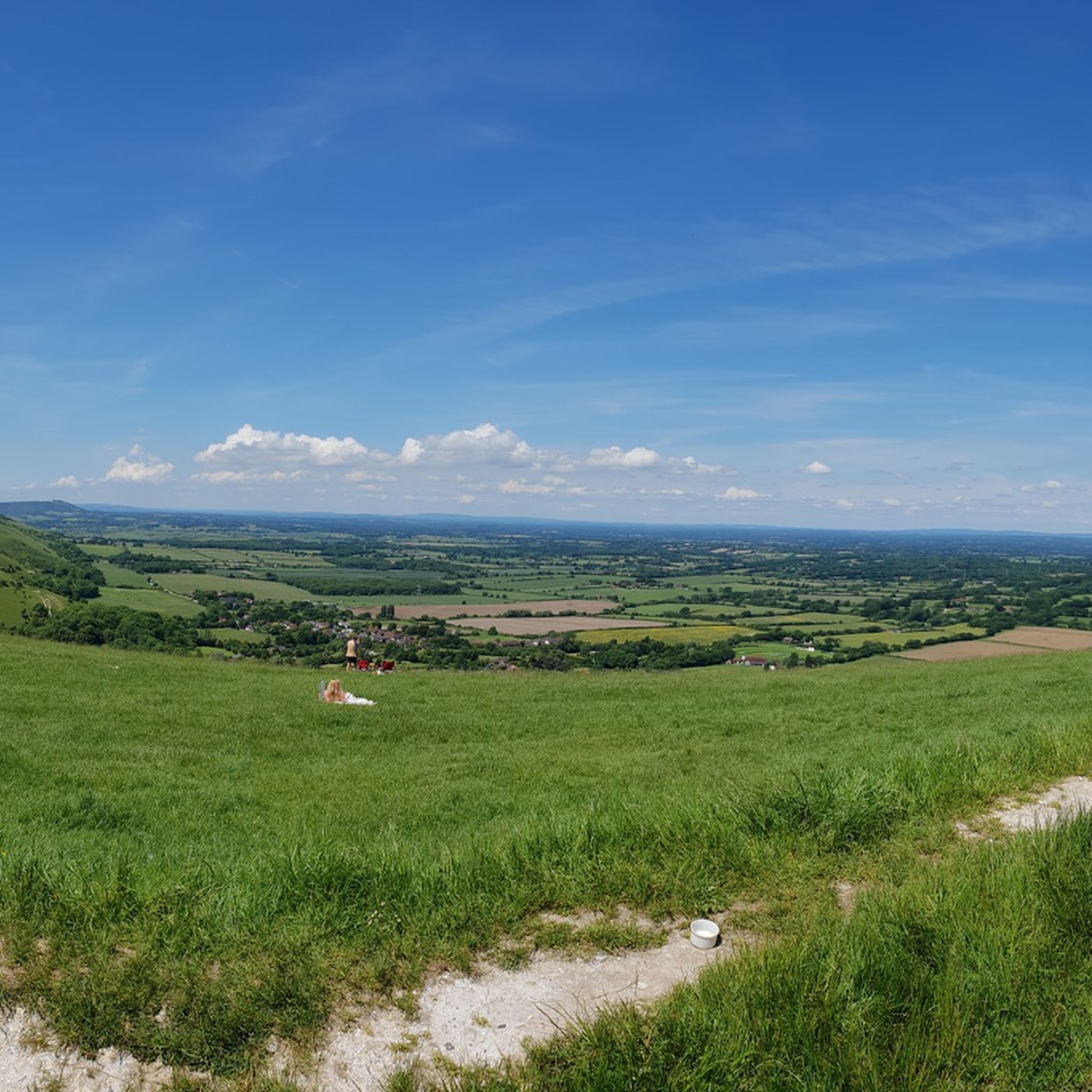
At over 650 feet (200 m), Ditchling Beacon gives you a good climb and a great vantage point to see out over the surrounding countryside. To the north you look back at the lush countryside of the Weald, to the south are views of Brighton, and to the east and west, the rolling undulating views out over the South Downs.
1
1

Nice enough trig pointed hilltop and easy enough to get to with grand views out over the South Downs.
0
0
This is a beautiful spot, there is a trig point that is placed on one of the ramparts of the actual Iron Age hillfort here. It is very popular with walkers, and families. The valley bowl is also particularly beautiful.
1
0

Be warned of the water fullies added to the track. Sometimes the gates in the vallies are shut, sometimes not. The grass section is stunning for the views on a good day. Once at the top, it's a very gentle climb to Devils Dyke so you're nearly there.
1
0
ハーストピアポイントアンドセイヤーズコモンでのの人気ルート
ハーストピアポイントアンドセイヤーズコモンでのの人気観光スポット

komootモバイルアプリでインスピレーションを得よう


さらに探索
これらのガイドで、最高の洞窟を探す範囲を広げましょうハーストピアポイントアンドセイヤーズコモンでの:
