ステイングの天然記念物・トップ18
ステイングが誇る美しい風景を見てみたいなら、ステイングの素晴らしい天然記念物・トップ18
に行ってみましょう。あなたにぴったりの場所が見つかるよう、素晴らしい天然記念物を探索するために必要なすべての情報を集めました。次のアウトドアの冒険に出かける計画の参考にしましょう。
最終更新日: 9月 5, 2026
デビルズ・ダイク
ハイライト • 歴史的な場所
役立つ情報 は

チャンクトンベリー・リング(丘上の古代要塞)
ハイライト • 歴史的な場所
役立つ情報 は

今すぐサインアップして、こんな場所を発見しよう
最高のシングルトラック、ピーク、その他のエキサイティングなアウトドアスポットのおすすめを受け取ろう。
無料新規登録
シスバリー・リング(丘の砦)
ハイライト • 歴史的な場所
役立つ情報 は
サウスダウンズ・ウェイ — ファルキング・ヒル尾根
ハイライト (セグメント) • 自然記念物
役立つ情報 は

Chantry Hill
ハイライト • 展望台
役立つ情報 は
無料でサインアップして、さらに多くの自然記念物を発見しましょう ステイングでの。
無料新規登録
すでにアカウントをお持ちですか?
無料アカウントで今日から始めよう
次の冒険が待っています。
ログインまたは登録


コミュニティからのヒント

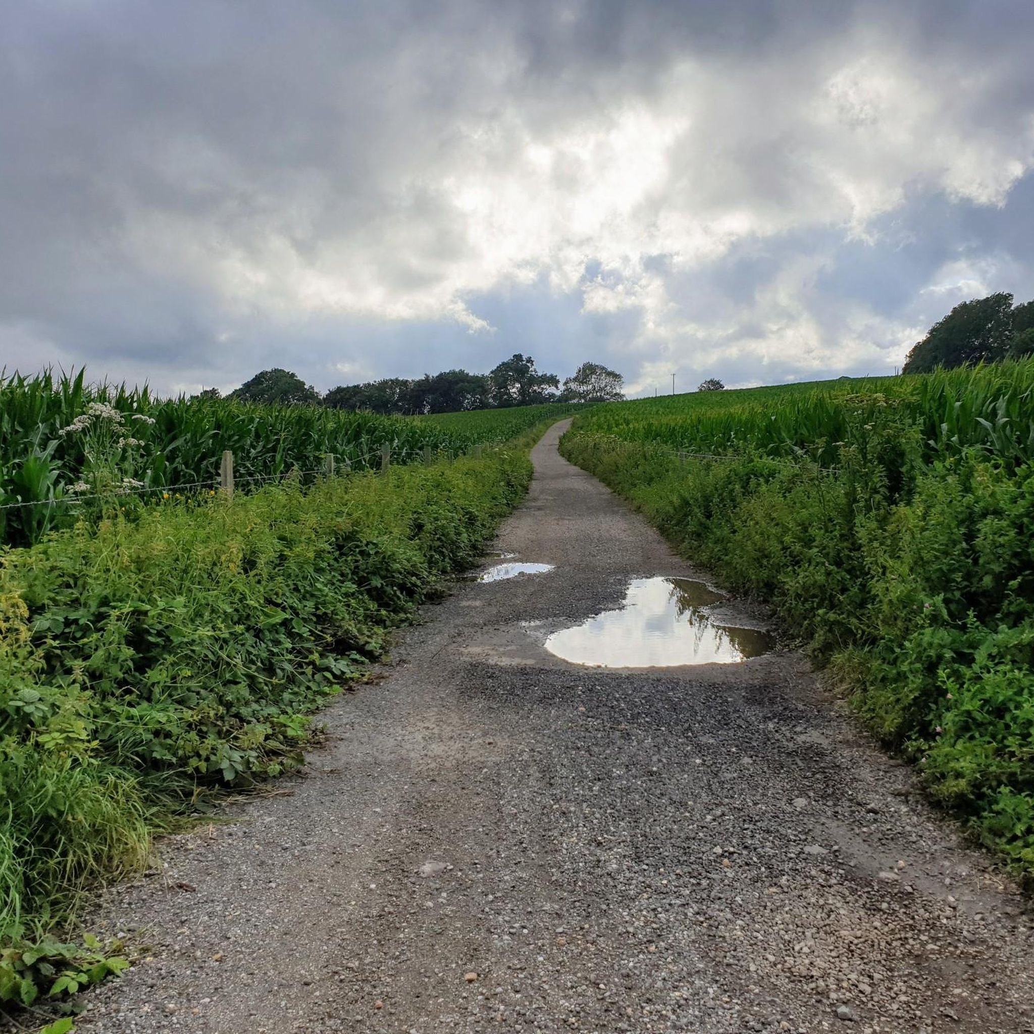
nice steady climb with breathtaking views, if you turn left at the gate (before crossing) you will see a path to your further left leading to a pub called Sheppard and Dog with a nice beer garden - this is a S2 descent so be careful
0
0


This is a beautiful spot, there is a trig point that is placed on one of the ramparts of the actual Iron Age hillfort here. It is very popular with walkers, and families. The valley bowl is also particularly beautiful.
1
0
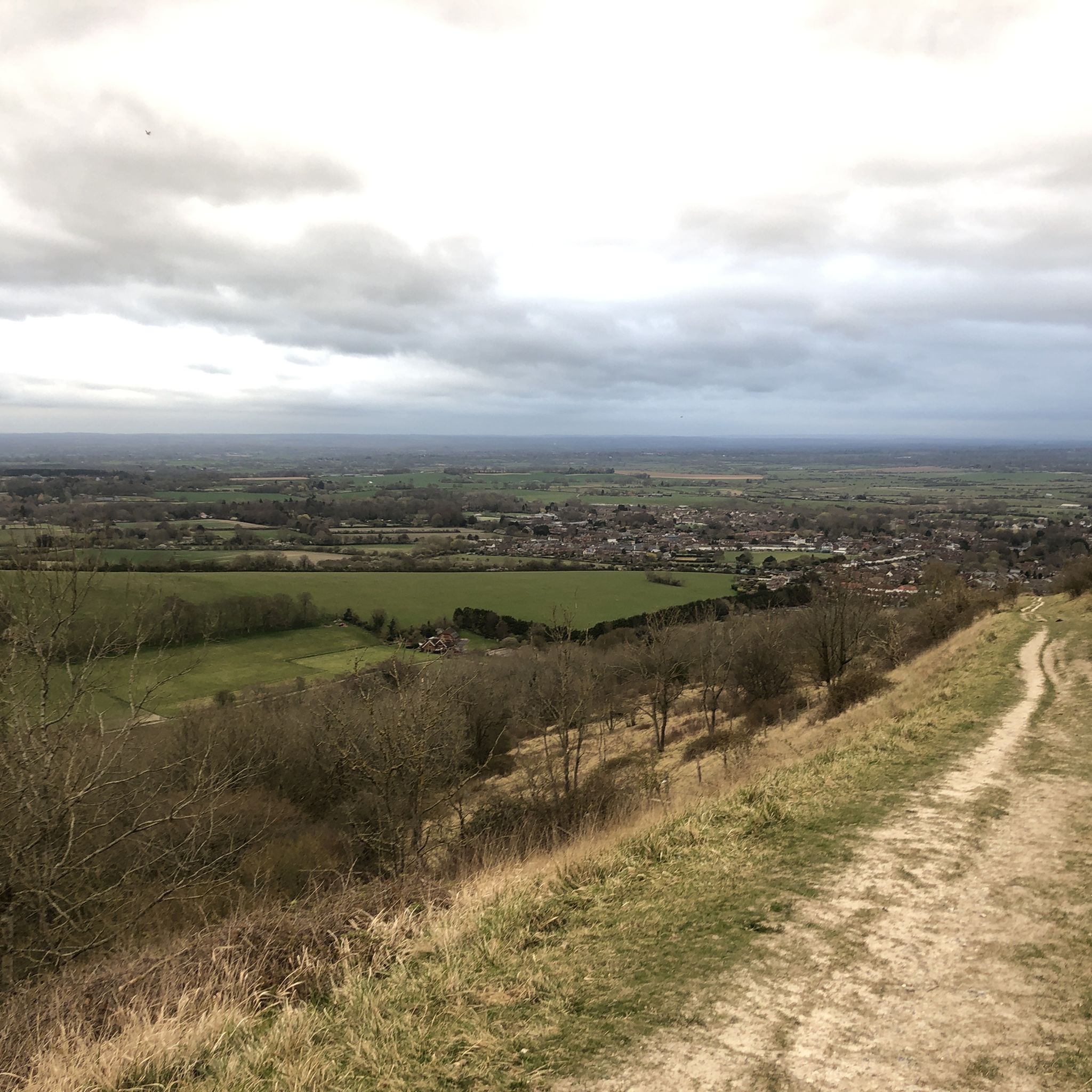
Chantry Hill is adjacent to Kithurst Hill and provides another route to this accessible trig point. The paths and wide open views down over the South Downs are stunning.
0
0

Be warned of the water fullies added to the track. Sometimes the gates in the vallies are shut, sometimes not. The grass section is stunning for the views on a good day. Once at the top, it's a very gentle climb to Devils Dyke so you're nearly there.
1
0
Cissbury Ring is one of the jewels in the crown of the new South Downs National Park. It's the largest hill fort in Sussex and has a history dating back over 5,000 years. Set high up on a chalk promontory, its ditch and ramparts enclose about sixty-five acres. From the top on a clear day you can see forever, with views across to the chalk cliffs beyond Brighton and as far as the Isle of Wight.
0
0
This is a beautiful spot with expansive views out North over the rolling South Downs countryside giving you a lush patchwork of quilted green fields. There is also a sturdy bench to take the weight off your feet and super cool Cissbury Ring just behind you.
1
0

ステイングでのの人気観光スポット

komootモバイルアプリでインスピレーションを得よう


さらに探索
これらのガイドで、最高の洞窟を探す範囲を広げましょうステイングでの:
