ウィンチェスターの天然記念物・トップ15
ウィンチェスター周辺の最高の自然記念碑には、古代の丘から静かな川の谷まで、多様な自然地域が含まれています。この地域は、チョークの丘陵地帯、河川系、歴史的な景観を特徴としています。これらの自然の特徴は、アウトドアアクティビティや野生生物の観察の機会を提供します。この地域は、自然環境の中で生態学的な重要性と歴史的な興味を兼ね備えています。
ウィンチェスター周辺の最高の自然記念碑
- 最も人気のある自然記念碑は Old Winchester Hill です。これはサウス・ダウンズの真ん中にある史跡で、土塁と堀に囲まれています。この場所からは、周囲の田園風景の広大な景色を眺めることができます。
- もう一つの必見スポットは Beacon Hill (South Downs National Park) です。チョークの尾根にある国立自然保護区で、珍しい植物が生育し、多くの種類の蝶が生息しています。
- 訪問者は St Catherine's Hill も気に入っています。これはチョークの丘陵地帯にある顕著な丘で、鉄器時代の丘の砦があり、ウィンチェスターのパノラマビューを提供しています。
- ウィンチェスターは、古代の丘、川の谷、自然保護区で知られています。この地域には、チョークの草原や森林など、さまざまな自然記念碑があり、見て探索することができます。
- ウィンチェスター周辺の自然記念碑は、komootコミュニティによって高く評価されており、16のハイライトに200以上の「いいね!」と12の写真が共有されています。
最終更新日: 9月 18, 2026
オールド・ウィンチェスター・ヒル
ハイライト • 登山
役立つ情報 は

オールド・ウィンチェスター・ヒルの鉄器時代の砦
ハイライト • 歴史的な場所
役立つ情報 は

今すぐサインアップして、こんな場所を発見しよう
最高のシングルトラック、ピーク、その他のエキサイティングなアウトドアスポットのおすすめを受け取ろう。
セント・キャサリンの丘
ハイライト • 歴史的な場所
役立つ情報 は

オールド・ウィンチェスター・ヒル国立自然保護区
ハイライト • トレイル
役立つ情報 は
ビーコン・ヒル(サウスダウンズ国立公園)
ハイライト • 自然記念物
役立つ情報 は
イッチェン川
ハイライト • 川
翻訳者 Google •
役立つ情報 は

チーズフット・ヘッド
ハイライト (セグメント) • 歴史的な場所
The area holds historical significance as well. During World War II, it served …
役立つ情報 は

ビーコン・ヒル三角点
ハイライト • 山頂
役立つ情報 は

Joan's Acre Wood
ハイライト • トレイル
役立つ情報 は

無料アカウントで今日から始めよう
次の冒険が待っています。
ウィンチェスター周辺で人気

大人のための就寝前アドベンチャーストーリー

歴史、チョーク、草原と森林 — King Alfred's Way
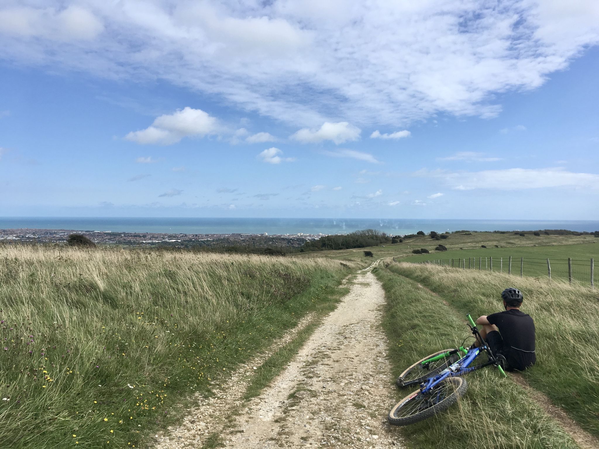
South Downs Way の南のオートラルットア
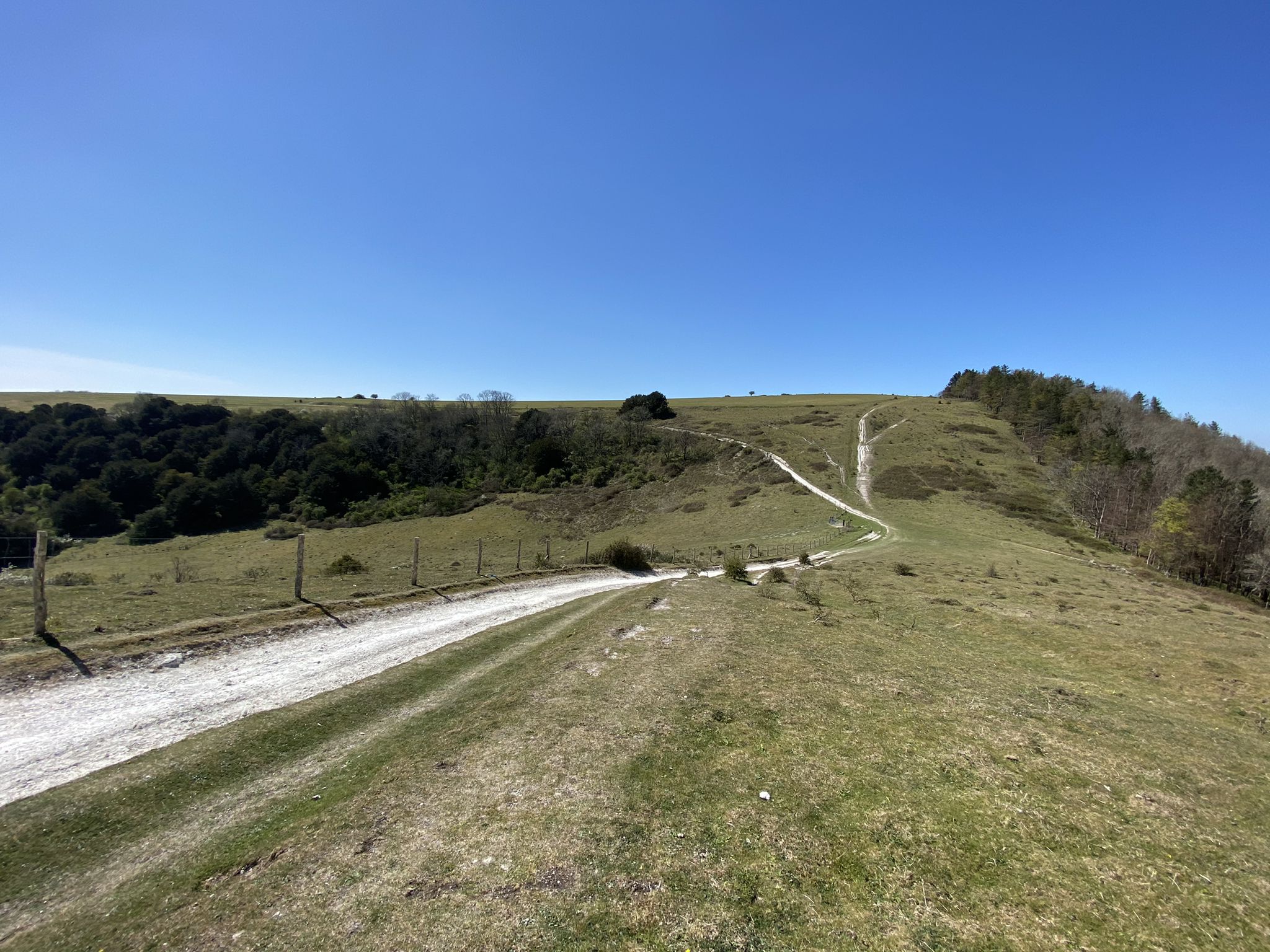
サウス・ダウンズ・ウェイ - 国立公園を横断する100マイルのランニングコース
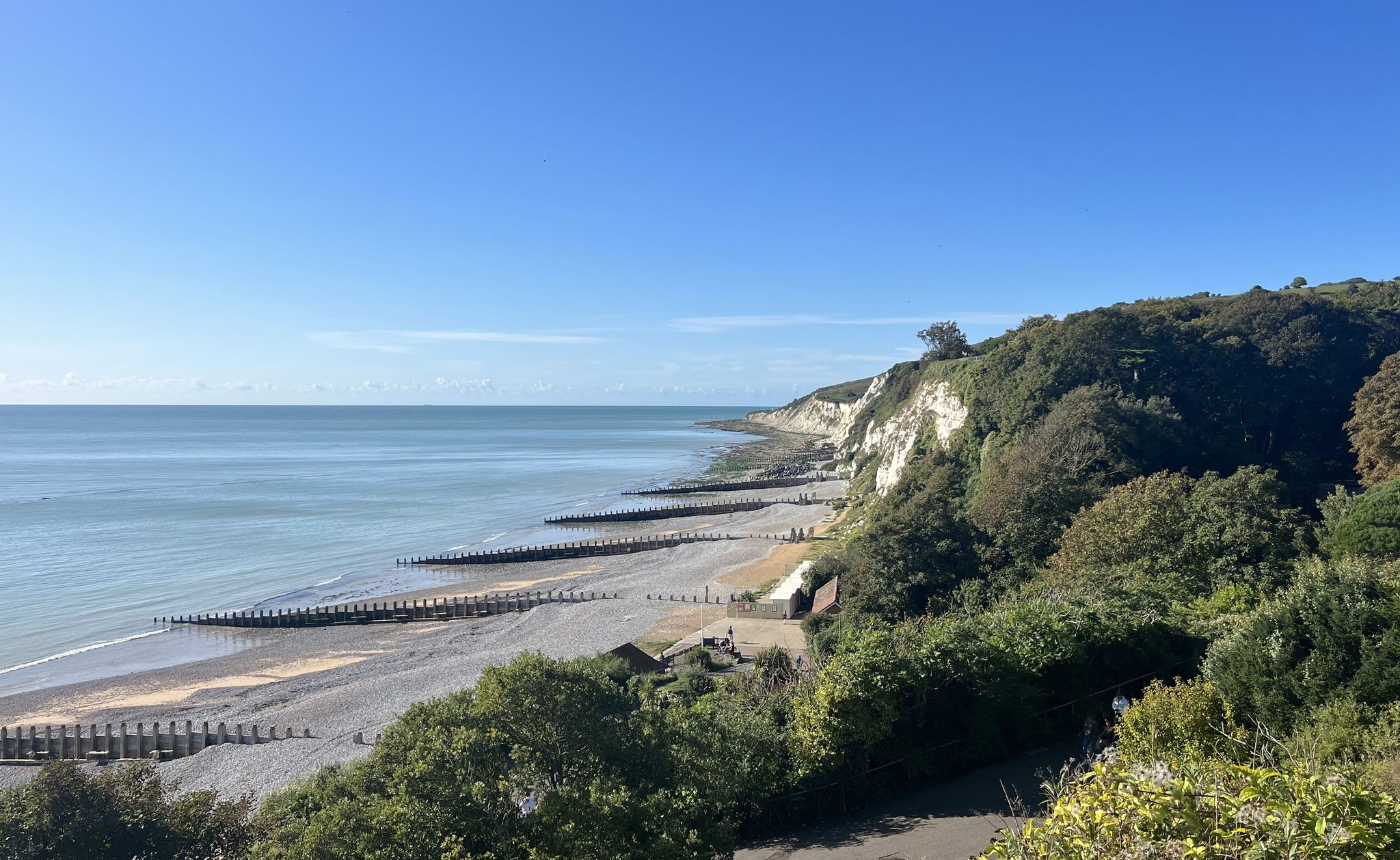
公園を歩く - サスダウンズ国立公園を渡る
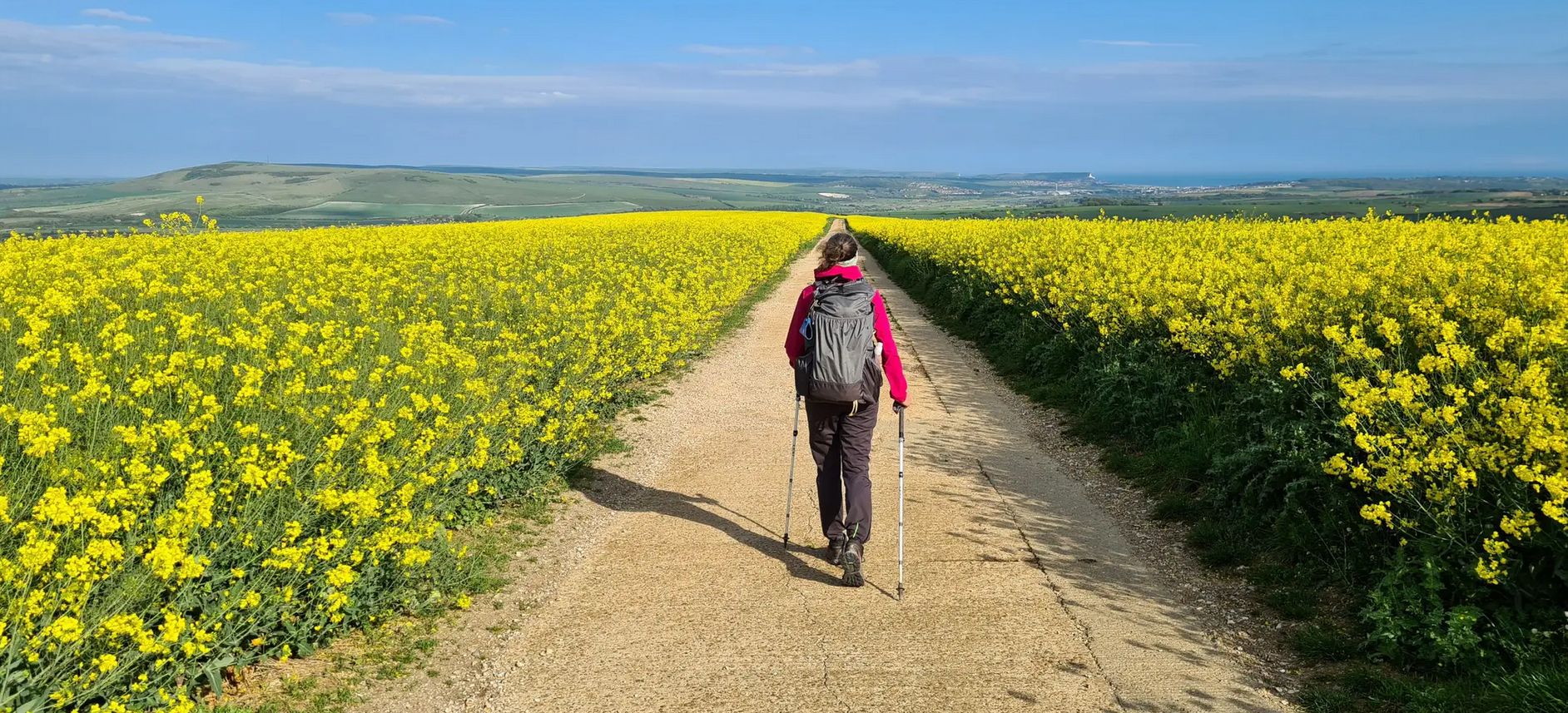
南イングランドを横断する魅力的なハイキング - South Downs Way
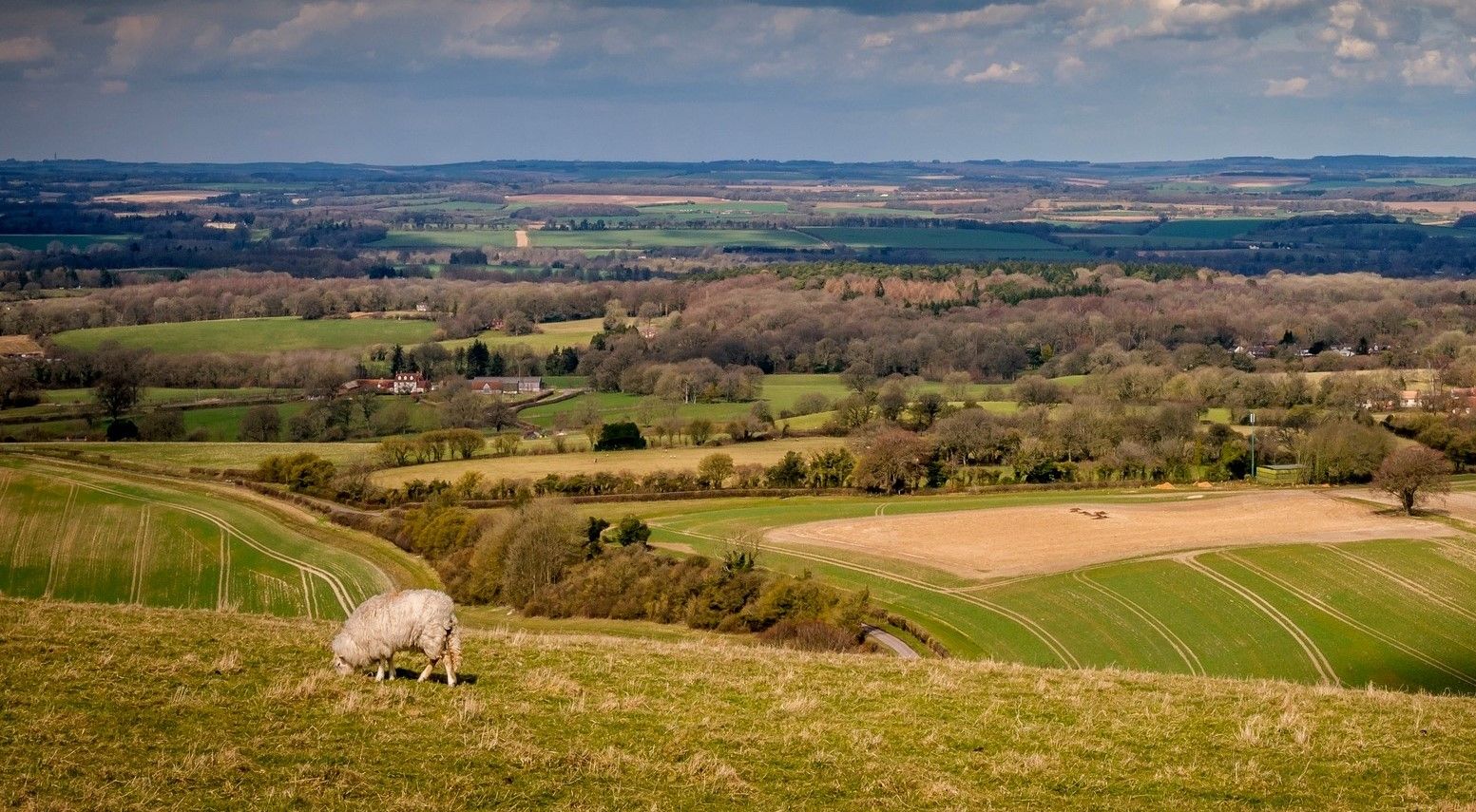
丘から海岸までの古い牧場道をハイキング — Wayfarer's Walk
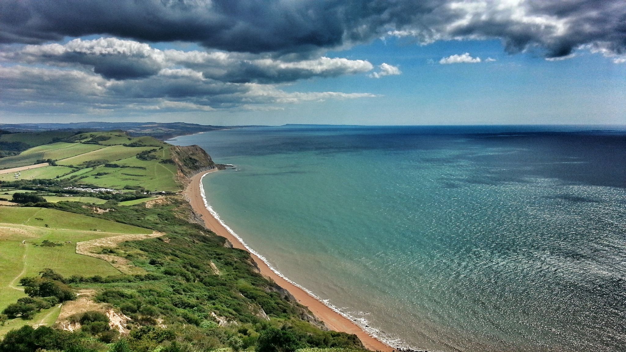
イングランドの最長の内陸トレイルを制する — Monarch’s Way: パート3
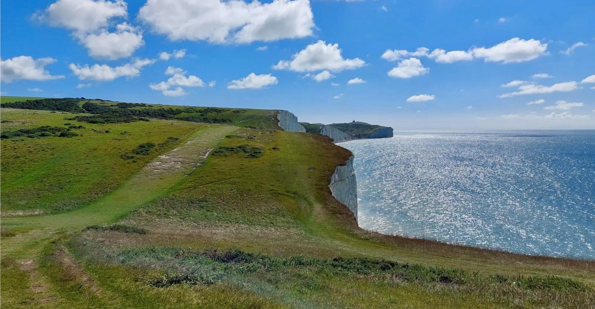
古老なる路と特筆する自然景観をハイキング — South Downs Way
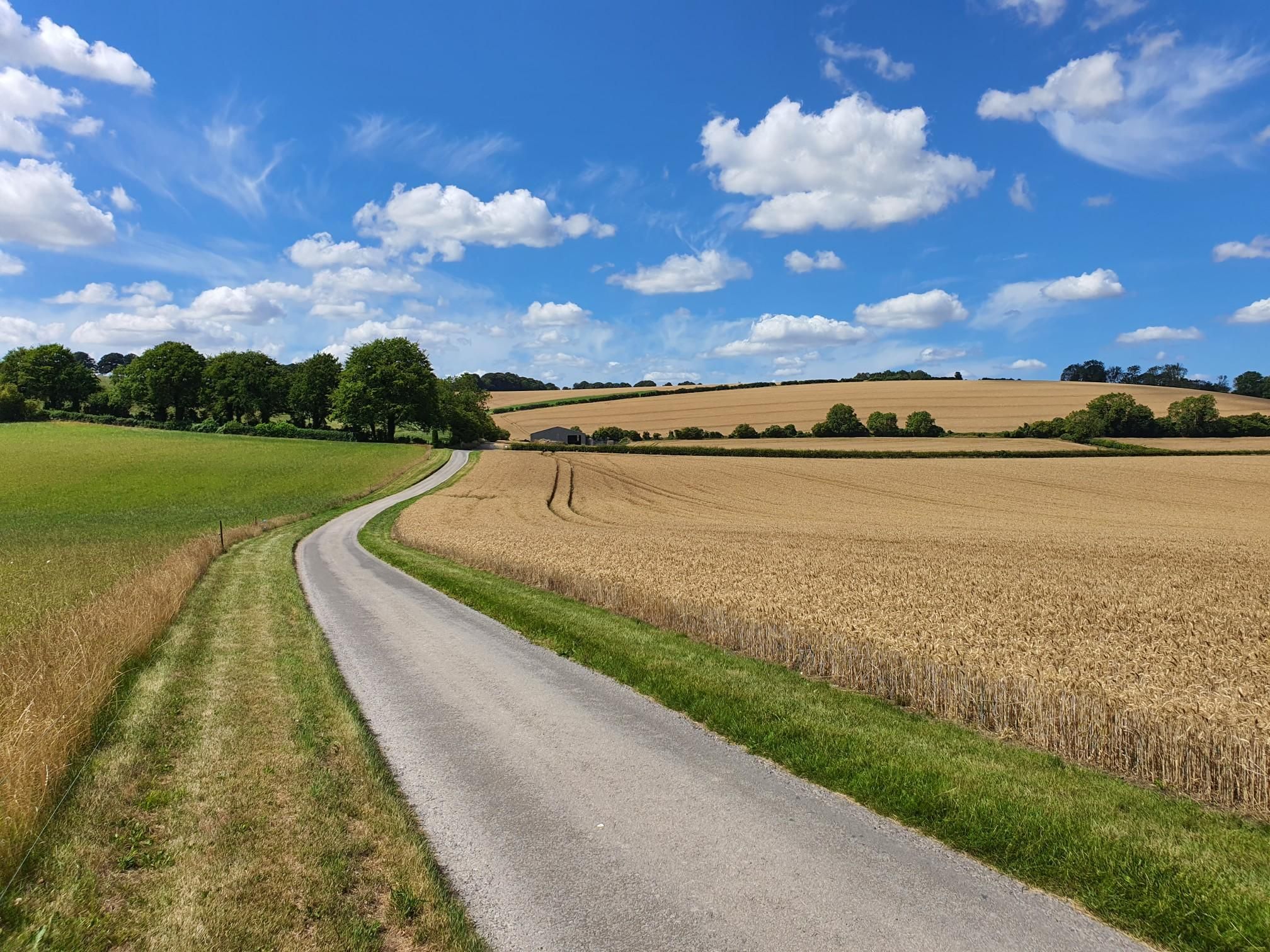
サウスダウンズの壮大な登り口 - ブライトンからウィンチェスターまで
ウィンチェスターでのの他の冒険


コミュニティからのヒント

St Catherine's Hill is a prominent chalk downland hill on the outskirts of Winchester, notable for its layered historical and ecological importance. Now a biological Site of Special Scientific Interest (SSSI) managed as a nature reserve, its summit is ringed by the impressive earthworks of a univallate Iron Age hillfort dating back over 2,000 years. The top is marked by a distinctive copse of beech trees, known as 'The Clump', which contains the scant ruins of the 12th-century St Catherine's Chapel, while the hillside features a turf-cut labyrinth known as the Miz-Maze; the entire site provides spectacular views over the city, the Itchen Valley, and supports a rich variety of wildflowers and butterflies, including the protected Chalkhill Blue.
1
0
The River Itchen is one of England's internationally renowned chalk streams, rising south of New Alresford in Hampshire and flowing for approximately 28 miles through the historic city of Winchester before eventually meeting Southampton Water. Famed for its crystal-clear, stable-temperature, and nutrient-rich waters, the river supports an exceptionally diverse ecosystem, leading to its designation as a Site of Special Scientific Interest (SSSI) and a Special Area of Conservation (SAC), vital for species like the Atlantic salmon, otter, and southern damselfly. Historically, the river was modified to form the Itchen Navigation, a former canal that once connected Winchester and Southampton for trade, and today its valley is characterised by a system of disused water-meadows, making it a globally significant natural habitat.
1
0

This was on the last leg of the King Alfred’s Way for me and was one of the few descents in the whole trip i walked, dry conditions but on a loaded gravel - the descent was more treacherous than i was prepared to risk / but amazing views from the top and a fast through the fields ride from the bottom.
1
0

Nearly the furthest point on our ride today. It's a great way to access the South Downs Way.
1
0

A lovely little hill that is on the South Downs Way. Beautiful views of the surrounding countryside can be had from here.
1
0
This is a beautiful Iron Age hill fort that is now a national nature reserve, and it is a great area to bring the family to enjoy the beautiful views from the top. It has come a long way from being a mortar testing range for the British Army back in WW2.
0
0
There are two hills with the name Beacon Hill on the South Downs Way. This one is 201m, trig pointed, and closer to Winchester. It has a cool old style beacon on the top.
1
0

Beautiful spot to watch the sunrise and look down at the city lights in the distance. Great route up with steps from the south west side of the hill
2
0
ウィンチェスターでのの人気観光スポット

komootモバイルアプリでインスピレーションを得よう


探していたものは見つかりませんでしたか?
地域ごとのトップハイライトをチェックして、さらに素晴らしい自然のモニュメントを見つけましょうウィンチェスターでの:
さらに探索
これらのガイドで、最高の洞窟を探す範囲を広げましょうウィンチェスターでの:
