ストランドの天然記念物・トップ20
ストランドが誇る美しい風景を見てみたいなら、ストランドの素晴らしい天然記念物・トップ20
に行ってみましょう。あなたにぴったりの場所が見つかるよう、素晴らしい天然記念物を探索するために必要なすべての情報を集めました。次のアウトドアの冒険に出かける計画の参考にしましょう。
最終更新日: 10月 29, 2026
プレイケストーレン(パルピットロック)
ハイライト • 展望台
翻訳者 Google •
役立つ情報 は

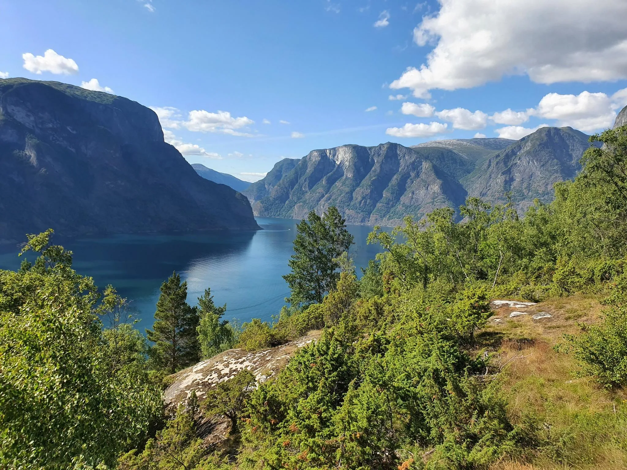
リーセフィヨルドの眺め
ハイライト • 展望台
翻訳者 Google •
役立つ情報 は

今すぐサインアップして、こんな場所を発見しよう
最高のシングルトラック、ピーク、その他のエキサイティングなアウトドアスポットのおすすめを受け取ろう。
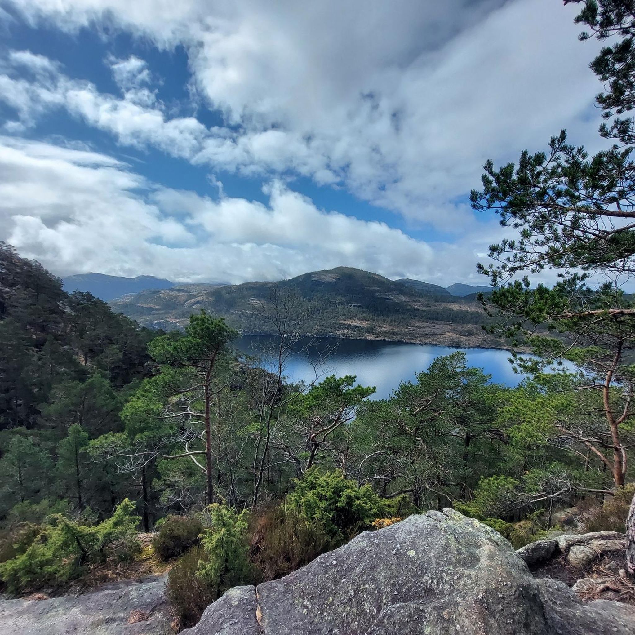
リーセフィヨルドの素晴らしい景色
ハイライト • 展望台
翻訳者 Google •
役立つ情報 は

Sokkaknuten山頂
ハイライト • 山頂
翻訳者 Google •
役立つ情報 は

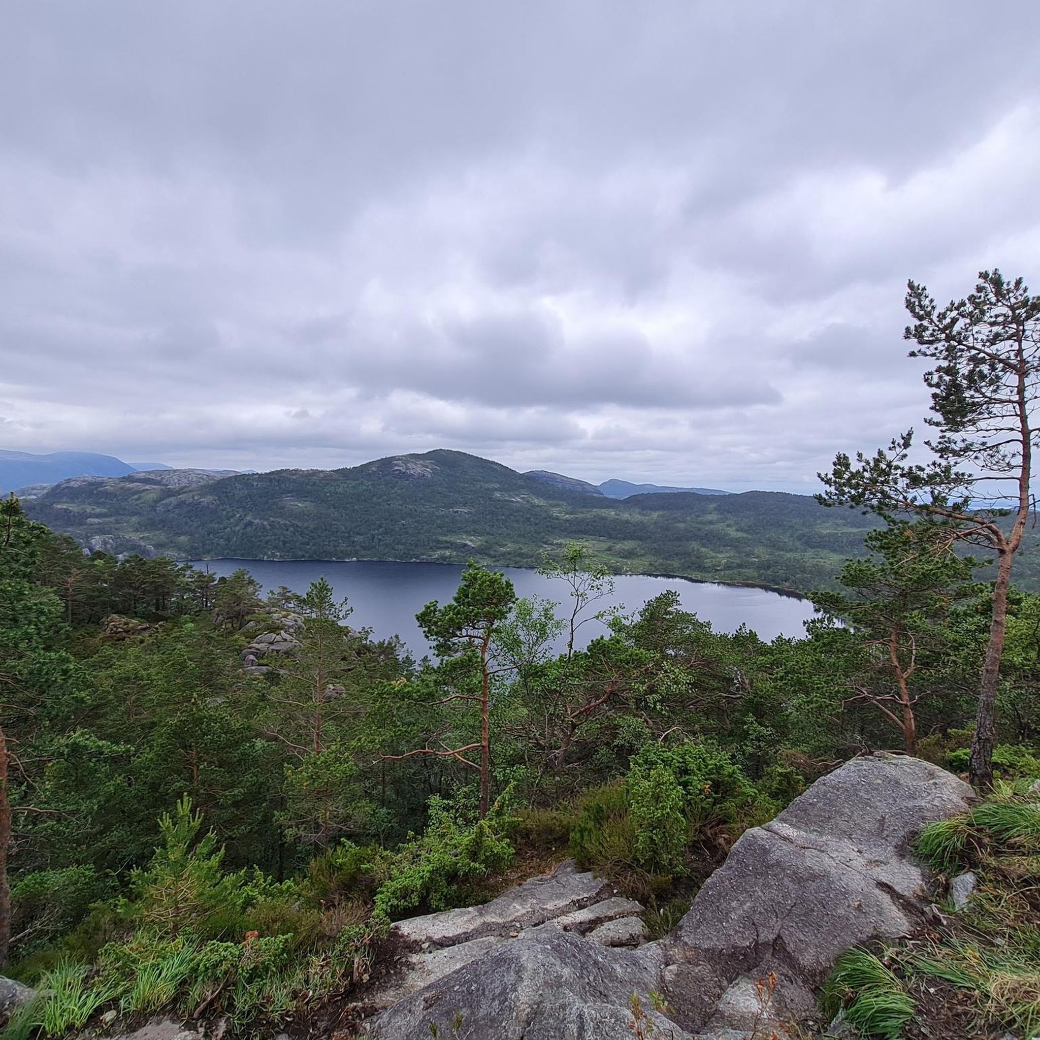
ネヴェルダルスフィエル山頂
ハイライト • 山頂
翻訳者 Google •
役立つ情報 は

無料でサインアップして、さらに多くの自然記念物を発見しましょう ストランドでの。
すでにアカウントをお持ちですか?
無料アカウントで今日から始めよう
次の冒険が待っています。

コミュニティからのヒント

If you're comfortable hiking, this is a relatively quick and easy way to reach a first-class viewpoint. You can see deep into the Lysefjord and, on a clear day, all the way to Stavanger. Admittedly, it's steep and sometimes slippery, but that also makes it very scenic. Good footwear and a moderate level of fitness are helpful to enjoy the hike.
0
0


The hike to the summit is a true scenic highlight, with fantastic views of the fjord. The return route suggested by Komoot, off the main trail, seems like a good alternative to the busy path, but it's heavily overgrown, muddy, very time-consuming, and almost impossible to find without GPS. Without the Komoot map, we probably wouldn't have made it back to base camp. In retrospect, it was a cool experience, but during the hike, we weren't sure if we'd actually reach our destination. Very important: Make sure you have enough battery power on your phone! I recommend taking the same route back after visiting the summit and skipping the alternative route.
0
0

We can join you. Definitely not easy, but doable. We did the hike today with two boys, ages 9 and 13.
1
0
It was a steep climb, but I still found it quite pleasant by Norwegian standards. I hiked up on a Monday morning in mid-May and didn't see anyone. The view was incredibly beautiful. I should also mention that I almost always use hiking poles, which makes the ascent and descent easier.
4
0

It is difficult to get to, because it is easy to lose the trail - be careful and vigilant. Do not go here in heavy fog or icy conditions unless you have the necessary skills and experience. The Komoot map was very helpful in reaching and descending the peak.
0
0
The trail is poorly marked - the Komoot map was helpful. Hand work is required in places. I advise against hiking in heavy fog or icy conditions for inexperienced hikers. The trail is definitely worth the effort for more experienced hikers - excellent views and landscape.
0
0

Beautiful, especially up there above all the crowds of people where only a few people climb.
0
0
ストランドでのの人気観光スポット

komootモバイルアプリでインスピレーションを得よう


さらに探索
これらのガイドで、最高の洞窟を探す範囲を広げましょうストランドでの:
