ルート

プランナー

機能

アップデート

App

ログインまたはサインアップ

アプリを入手

ログインまたはサインアップ

ルート
Places to see
Natural Monuments
ベルギー
フランダース
南リンブルフ
マーサイク

キンローイ

キンローイの天然記念物・トップ20


キンローイが誇る美しい風景を見てみたいなら、キンローイの素晴らしい天然記念物・トップ20
に行ってみましょう。あなたにぴったりの場所が見つかるよう、素晴らしい天然記念物を探索するために必要なすべての情報を集めました。次のアウトドアの冒険に出かける計画の参考にしましょう。

最終更新日: 7月 12, 2026

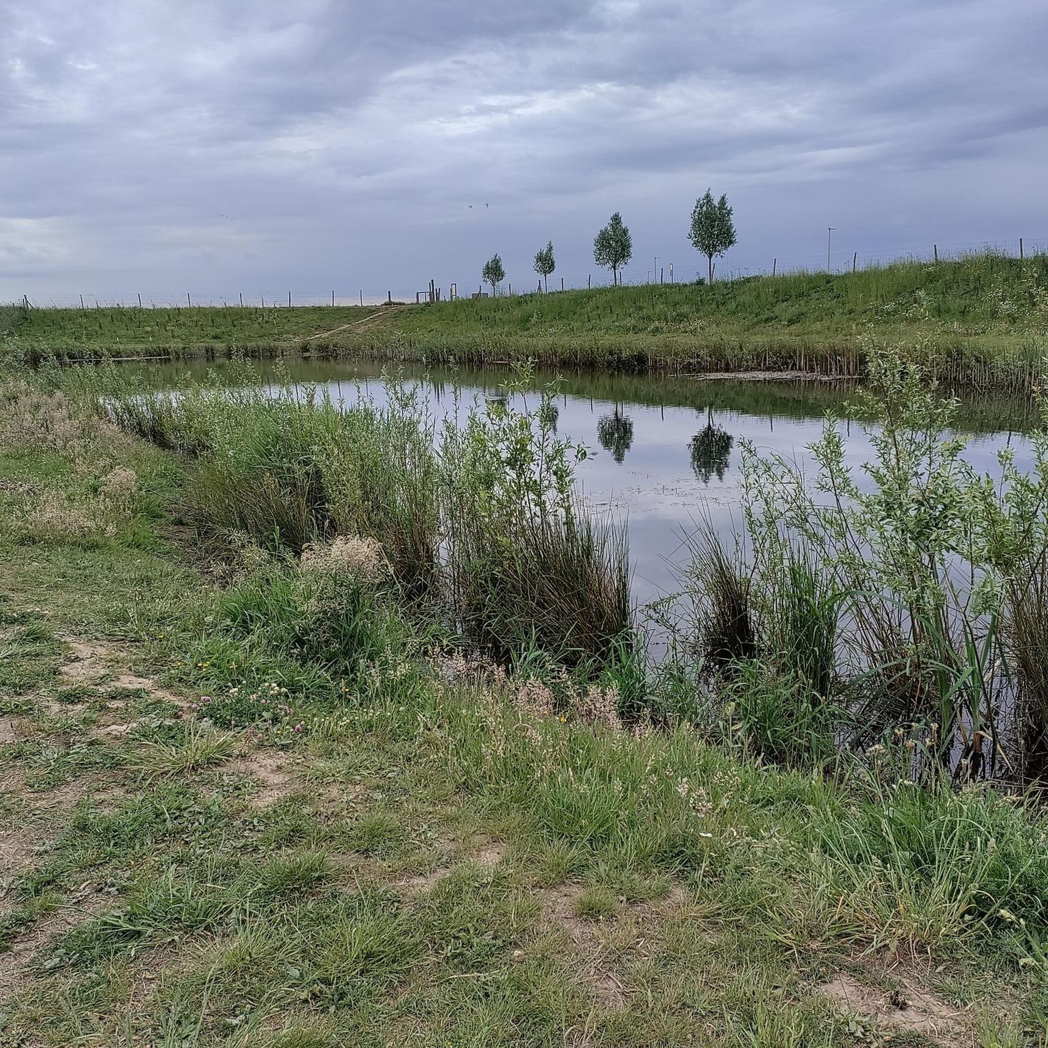
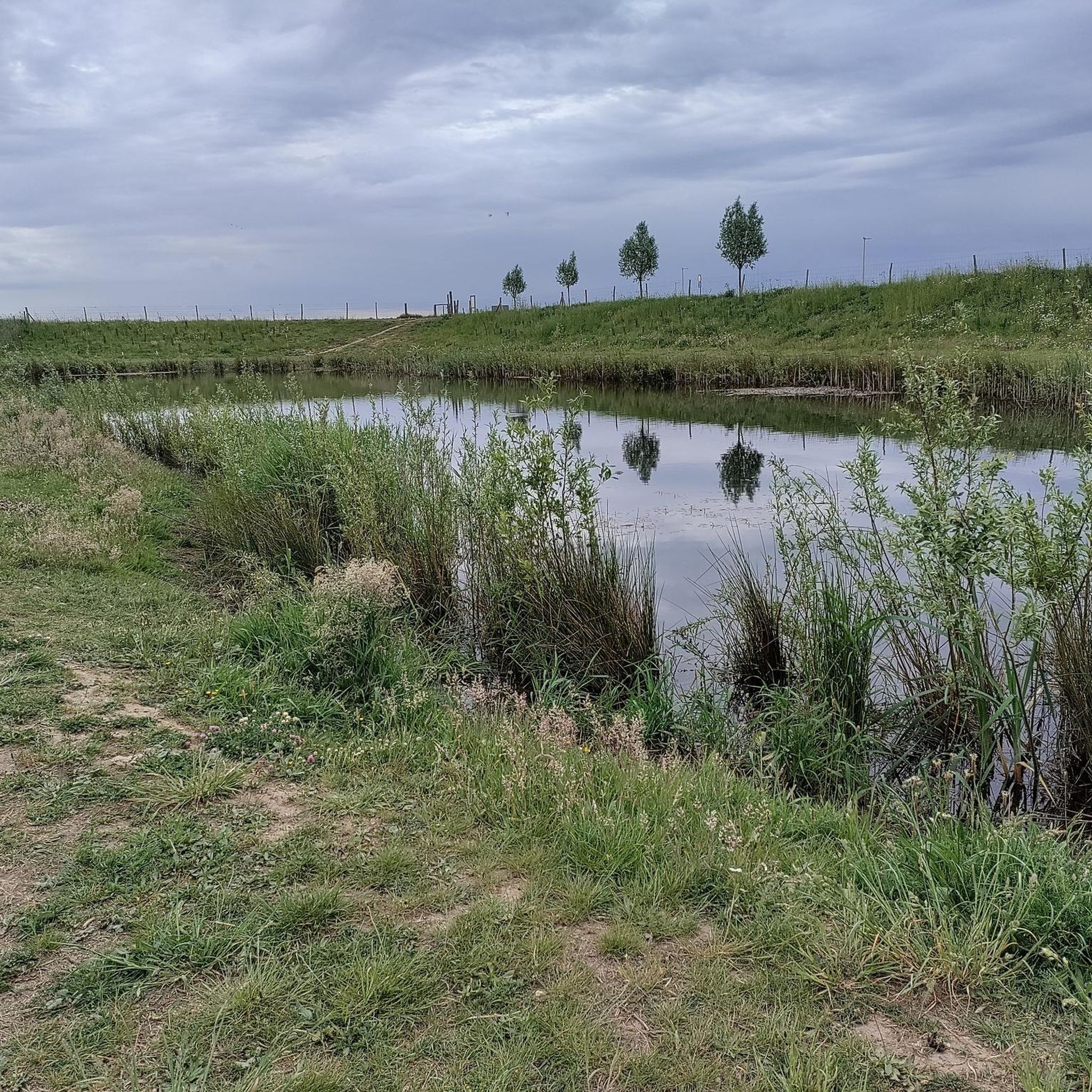
モーレンプラスの樹木モニュメント

ハイライト • 自然記念物

During the gravel extraction, these more than 1500 year old trees emerged from the wet soil. They are placed here to remind of the time of their origin. they are placed in the form of a solar clock.

翻訳者 Google •

役立つ情報

によるものです

ここでのハイキングを見る

スマートフォンに送信

保存

オールダープラス

ハイライト • 湖

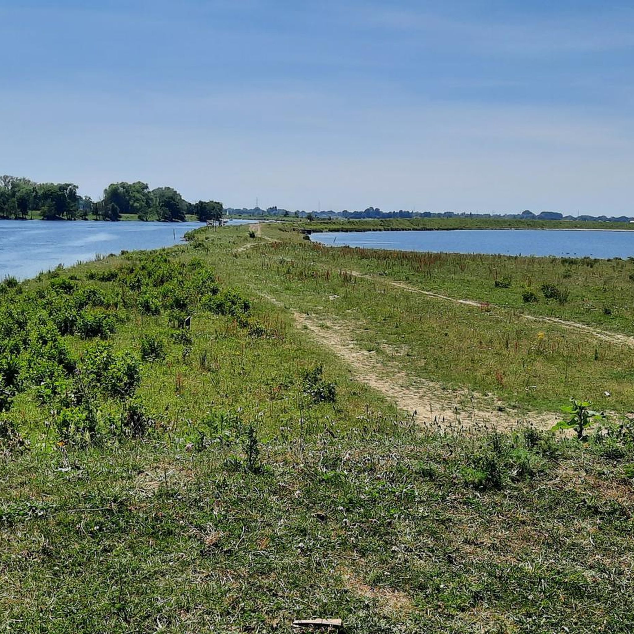
Between Thorn, Horn, Roermond and here at de Oolderplas you feel like you are in southern climes when the weather is right.

翻訳者 Google •

役立つ情報

によるものです

保存

今すぐサインアップして、こんな場所を発見しよう

最高のシングルトラック、ピーク、その他のエキサイティングなアウトドアスポットのおすすめを受け取ろう。

無料新規登録

モーレンプラスの展望台

ハイライト • 展望台

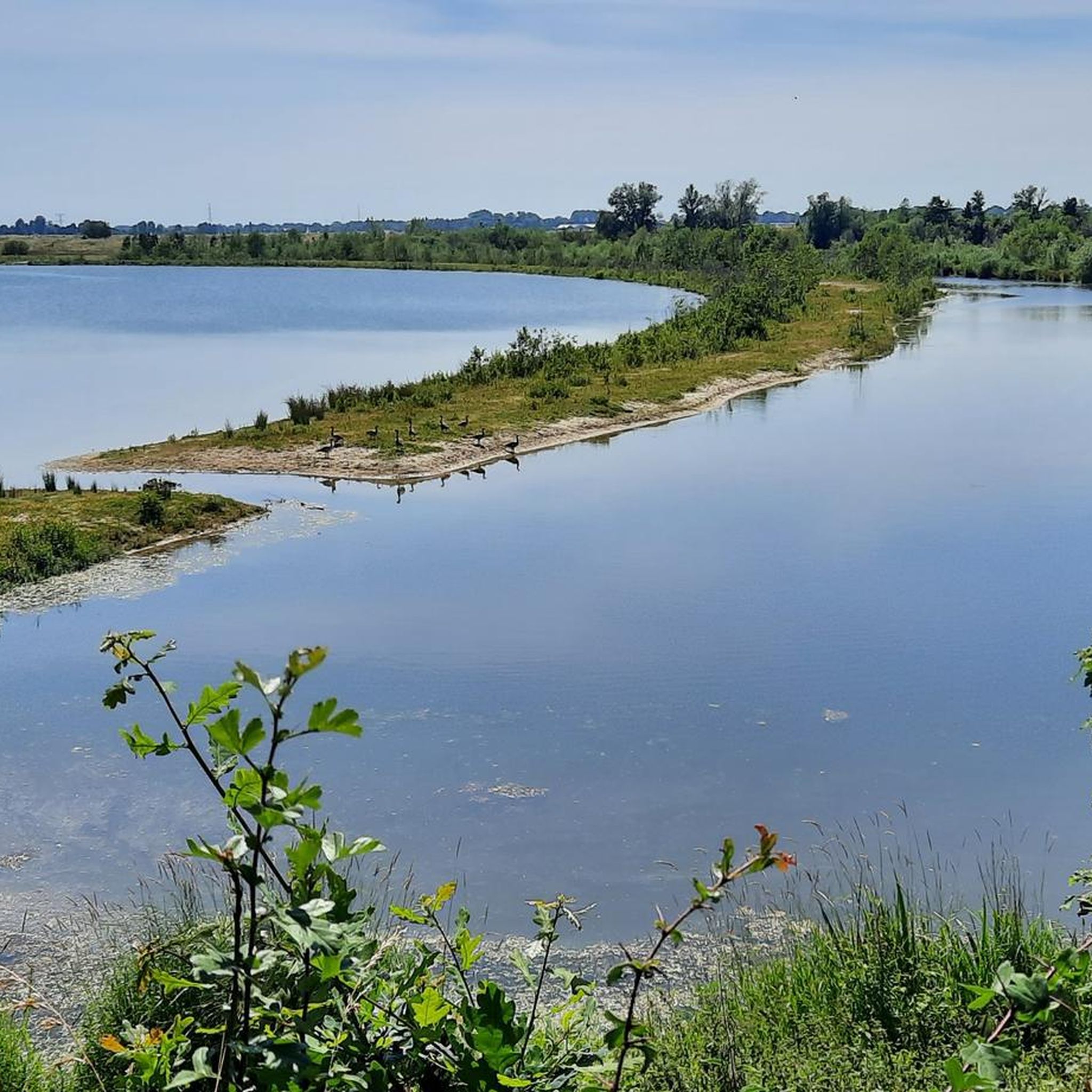
From this vantage point you have a very nice overview of the lake. You can also watch the waterfowl very well.

翻訳者 Google •

役立つ情報

によるものです

保存

Molenplas と Hompesche Molen

ハイライト • 湖

Seats with a great view of the lake, the mill .. We had the luck to meet bagpipe musicians during training. That was sooo lovely 😍🍀

翻訳者 Google •

役立つ情報

によるものです

保存

ドイツ最西端

ハイライト • 記念碑

The Selfkant is the westernmost point of Germany you should really explore, preferably by bike.
Selfkant belongs to the so-called Zipfel places.
In the west the Selkant
In the north …

翻訳者 Google •

役立つ情報

によるものです

保存

無料でサインアップして、さらに多くの自然記念物を発見しましょう キンローイでの。

無料新規登録

すでにアカウントをお持ちですか?

無料アカウントで今日から始めよう

次の冒険が待っています。

ログインまたは登録

キンローイ周辺で人気

ムーズ・サイクル・ルート - 丘陵地帯から港までムーズ川沿いを走ります。

ムーズ・サイクル・ルート - 丘陵地帯から港までムーズ川沿いを走ります。

発見リーファnatuur – 6 リーファンワンデリングen リーファパーク Maasvallei

Flanders by bike: cycling along the water

キンローイでのサイクリング

キンローイでのハイキング

キンローイのロードバイクルート

キンローイのMTBトレイル

キンローイのランニングコース

キンローイでののグラベルライド

キンローイでのの他の冒険

ムーズ・サイクル・ルート - 丘陵地帯から港までムーズ川沿いを走ります。

サイクリングのコレクション によって

Caressa

コミュニティからのヒント

Netreisetagebuch
9月 20, 2025, Molenplas en Hompesche Molen

The Molenplas premium hiking trail runs around the Mühlensee lake. At just over five kilometers, it's the shortest of the "Wasser.Wander.Welt" premium hiking trails, which are characterized by excellent signage and a wonderful natural experience. I'll show you what awaits you along the way: 👉 https://www.netreisetagebuch.de/premium-wanderweg-molenplas/

Google翻訳による翻訳

0

0

A great hike that I would happily recommend, also because of the many animals along the way.

Google翻訳による翻訳

0

0

This circular hiking trail begins at the Hompe windmill, which has been used as a grain and oil mill since 1722 and leads around the Molenplas (Mill Lake). Two-thousand-year-old trees, salvaged during gravel mining, now stand here as prehistoric monuments. A rich birdlife and plants typical of wetlands offer a very special natural experience. Free-roaming Galloway cattle and a herd of Konik horses graze the area. A dam made of boulders serves as stepping stones between two lakes (there is also a bypass if the water level is too high). Source: https://www.wa-wa-we.eu/de/wanderwege-details/molenplas.html

Google翻訳による翻訳

2

0

It's nice to look at such old trees.

Google翻訳による翻訳

4

0

The Molenplas (Mill Lake) hiking trail starts at the Hompesche Windmill. 😃👌 https://www.wa-wa-we.eu/de/wanderwege-details/molenplas.html

Google翻訳による翻訳

2

0

The exact point is nicely shown with a large red pole. A bench has been made right on the border, where you can sit with your buttocks in the Netherlands and your feet in Germany. The tip is also exactly above the middle of a stream. That is the Rode Beek, which rises on the Brunssummerheide and forms the national border here. The part of Germany here, called Selfkant, is special anyway. First of all, because it is a kind of peninsula in the Netherlands. Selfkant's border with the Netherlands is 27 kilometers; the connection with Germany itself is only 8 kilometers. Selfkant was also from the Netherlands for a long time. At the end of the war, the Netherlands wanted very large parts of Germany as compensation for the damage suffered. But the Netherlands was ultimately allocated only a small amount of territory, including Selfkant. In 1963 the Netherlands even returned it to Germany. In exchange for 280 million Deutsche Mark, that is.

Google翻訳による翻訳

9

0

The Oolderplas is a former quarry lake with a depth of up to 37 metres.

Google翻訳による翻訳

2

1

Oliver🌍
1月 27, 2024, Oolderplas

The very large lake has a maximum depth of 32 meters and has hardly any aquatic plants. The lake is a wintering area for water birds: Red-backed diver, red-throated diver and cormorant are observed there.

Google翻訳による翻訳

5

0

キンローイでのの人気ルート

キンローイでのサイクリング

キンローイでのの人気観光スポット

Places to see

Store rating

komootモバイルアプリでインスピレーションを得よう

無料のkomootアカウントがあれば、無限のアウトドアコースを簡単に見つけてカスタマイズし、ナビで案内できます。

または

今すぐkomootに参加しよう

Store rating

さらに探索

これらのガイドで、最高の洞窟を探す範囲を広げましょうキンローイでの:

Meeuwen-Gruitrodeディルセン=ストッケムハウトハーレンヘルヒテレンピアヘヒテル・エクセルロンメルオーフェルペルトブリーネールペルトボホルトハモント・アフェルGruitroderbosVlaams Natuurreservaat OudsbergHobos Beschermd Landschap

近くのアドベンチャーガイド

Jagersborgでやるべきこと

background

新しいピークを征服する準備をしよう

無料でサインアップ

探検する
ルートルートプランナー機能ハイキングMTBトレイルロードバイクルートバイクパッキングサイトマップ
アプリをダウンロード
SNSでフォローする

© komoot GmbH

プライバシーポリシー