ボホルトの天然記念物・トップ20
ボホルトが誇る美しい風景を見てみたいなら、ボホルトの素晴らしい天然記念物・トップ20
に行ってみましょう。あなたにぴったりの場所が見つかるよう、素晴らしい天然記念物を探索するために必要なすべての情報を集めました。次のアウトドアの冒険に出かける計画の参考にしましょう。
最終更新日: 7月 12, 2026
オウズベルフ砂丘
ハイライト • 自然記念物
翻訳者 Google •
役立つ情報 は

Oudsberg砂丘
ハイライト • 自然記念物
In the …
翻訳者 Google •
役立つ情報 は

今すぐサインアップして、こんな場所を発見しよう
最高のシングルトラック、ピーク、その他のエキサイティングなアウトドアスポットのおすすめを受け取ろう。
無料新規登録
Oudsberg砂丘のヒースランド
ハイライト • 自然
After the Ice Age, temperatures rose and forest growth increased. People also reappeared in the landscape to hunt, cultivate fields and keep livestock. To achieve this, the new …
翻訳者 Google •
役立つ情報 は

Ruiterskuilen池
ハイライト • 湖
翻訳者 Google •
役立つ情報 は

モルヘム先史時代の古墳
ハイライト • 歴史的な場所
翻訳者 Google •
役立つ情報 は
無料でサインアップして、さらに多くの自然記念物を発見しましょう ボホルトでの。
無料新規登録
すでにアカウントをお持ちですか?
無料アカウントで今日から始めよう
次の冒険が待っています。
ログインまたは登録
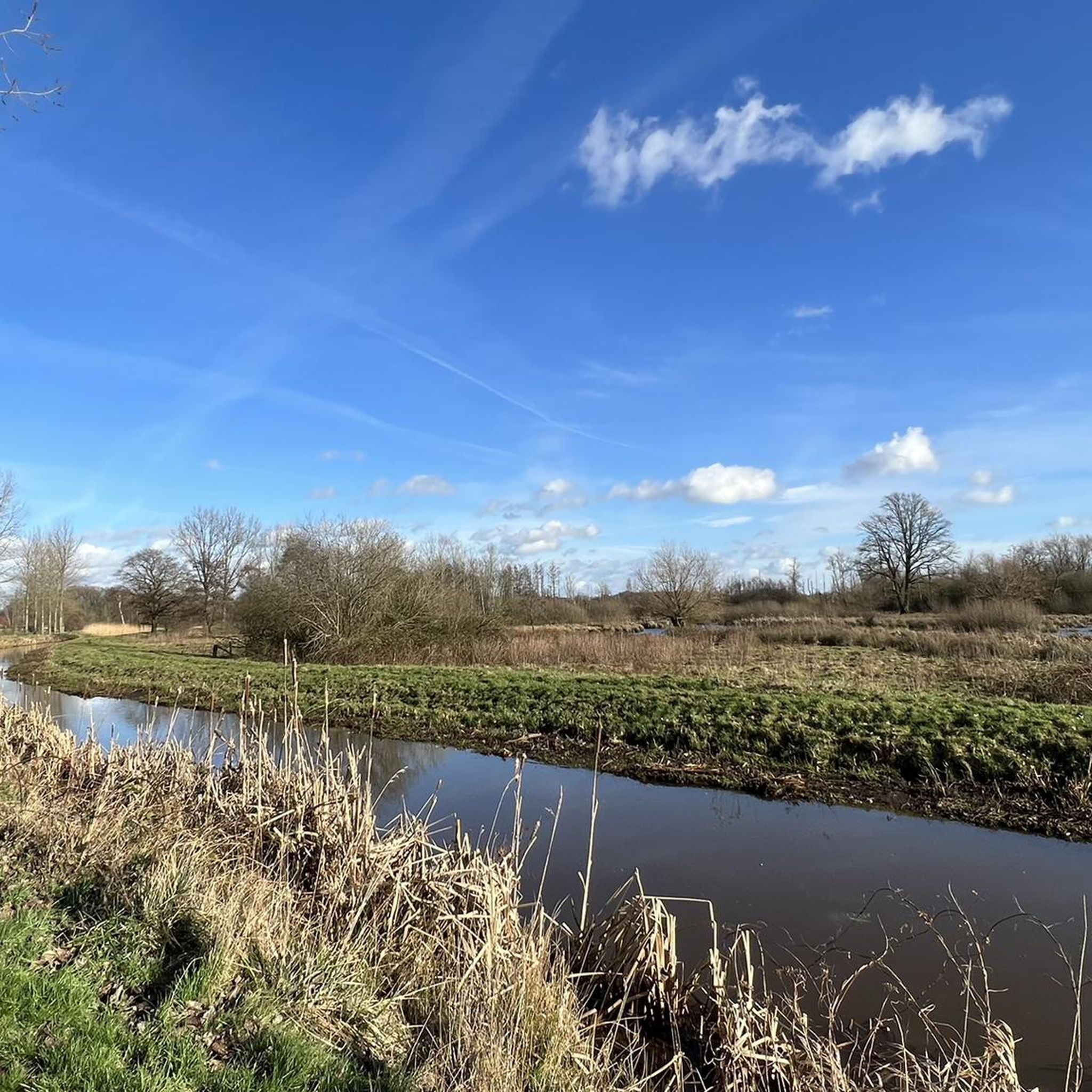
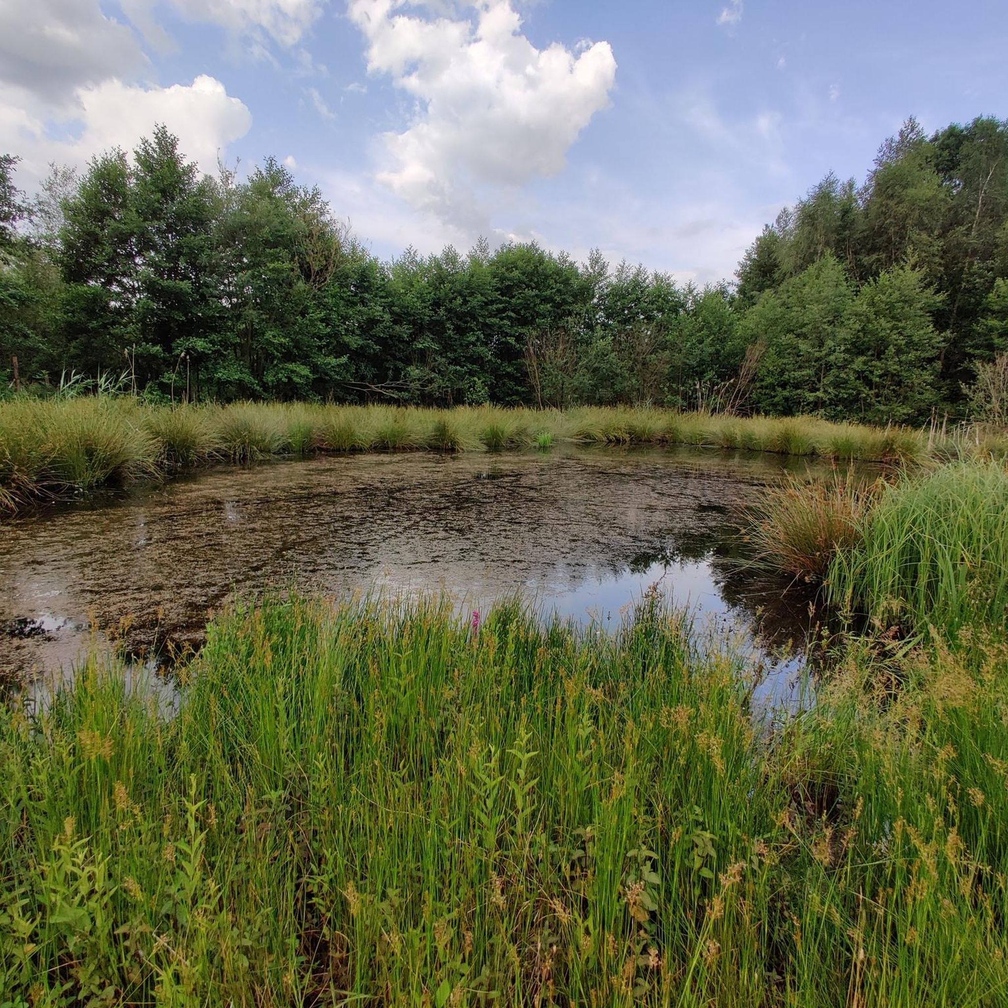
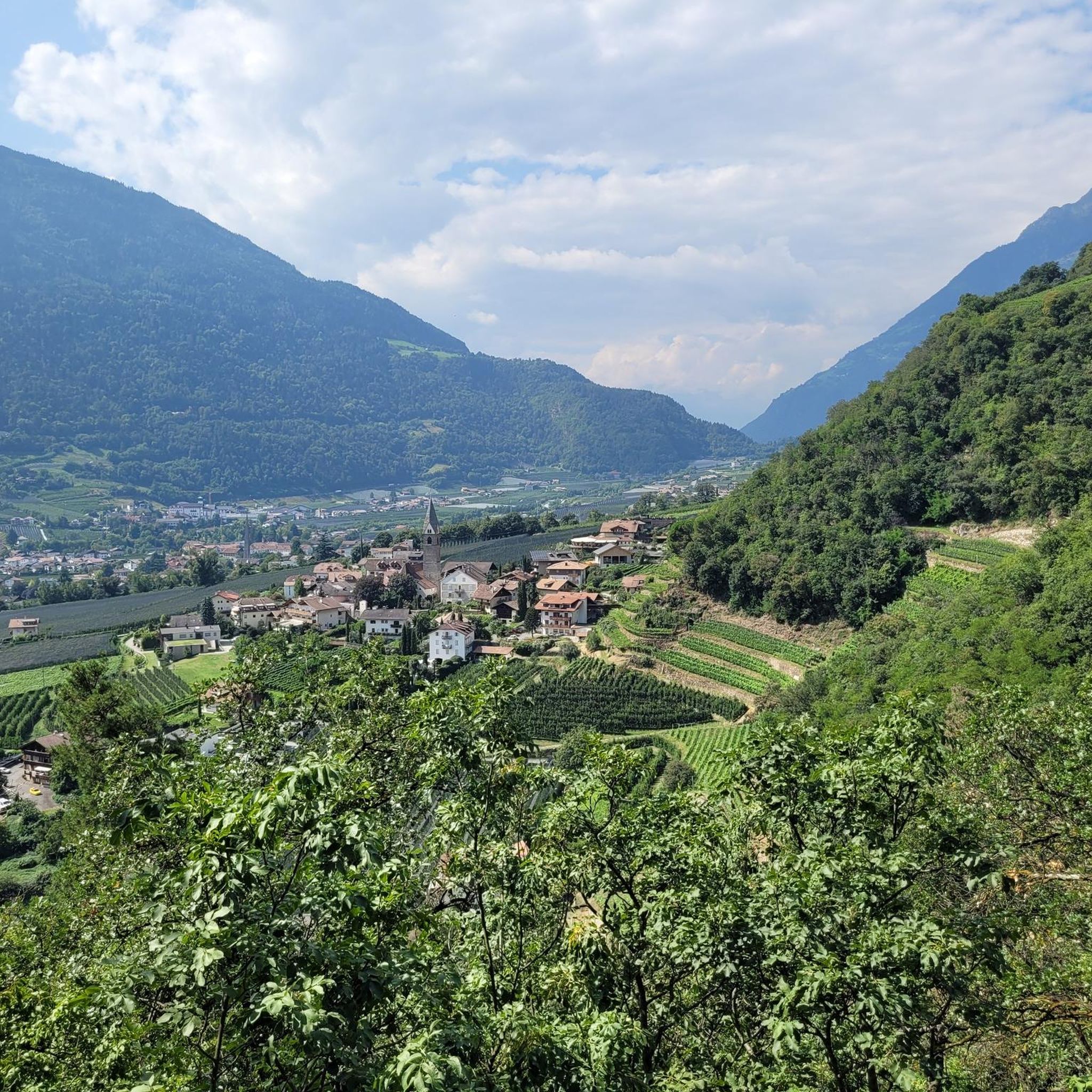

コミュニティからのヒント

古墳は、ブレューゲルサイクリングルートの近くの短い散歩道にあります。小道沿いの複数の情報標識で説明されています。
1
0

The ideal time to enjoy beautiful colours is certainly the month of September when the heathers are in bloom.
1
0

Beautiful paths, given the sensitive area do not go under the fence
1
0

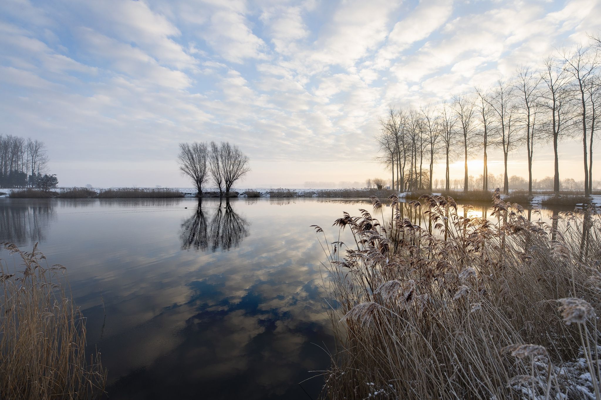
The heathland on the Oudsbergduin is one of the most impressive, yet also most fragile, nature reserves in the Hoge Kempen National Park. This unique dune area, located between Oudsbergen (Opglabbeek) and Gruitrode, is no ordinary heathland: here you walk across a rare inland dune landscape that formed after the last ice age and is today one of the largest drifting sand complexes in Flanders. 🌬️ Landscape shaped by wind and time The Oudsberg formed thousands of years ago when meltwater and strong winds pushed sand from dried-up riverbeds into high dunes. Centuries of grazing and deforestation left the sand partially exposed, resulting in a dynamic landscape of: • undulating sand plains • vast purple heathlands • juniper bushes and sparse grasslands • pine forests on the edges The result is a remarkable panorama that is constantly changing under the influence of wind, seasons, and management.
2
0

Oudsberg, along with Solterheide and Donderslag, is part of a long dune belt. The area promotes itself as the "Dune Belt." The dune belt is a 3,000-hectare, diverse, and extensive heath and forest landscape.
1
0

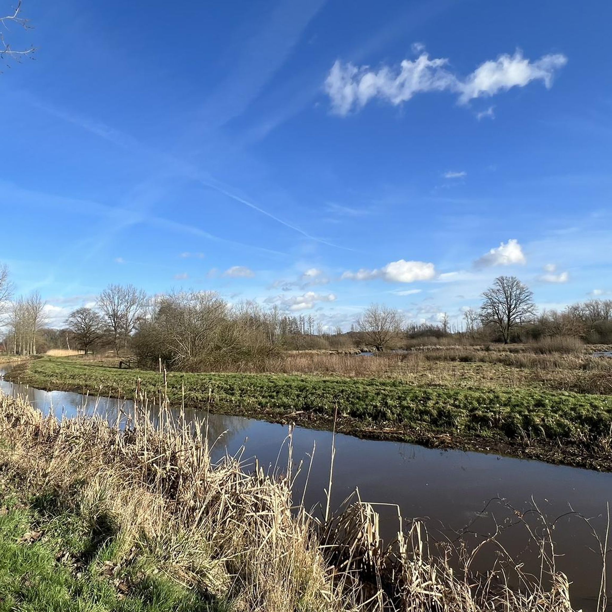
Between Peer-centrum and the church villages of Kleine-Brogel and Wijchmaal lies Molhem, a virtually uninhabited area where peace and quiet reign. It is a unique nature reserve between the Dommel and the Peerderloop. A colourful variety of stream valleys, meadows, fields and forests forms the backdrop. It is this area that our distant ancestors chose to bury their loved ones. Here on Molhem there are also 5 prehistoric burial mounds to be seen. These burial mounds are probably part of a burial field from the period 800 to 500 BC. Not only in Peer but also in the church village of Grote-Brogel there is an extensive prehistoric burial field. In 1959 and 1960 archaeologists investigated 2 burial mounds on the Molhem and about 70 burial mounds in Grote-Brogel. The urns that were found are preserved and exhibited in the Gallo-Roman Museum in Tongeren. Source: https://www.vilters-vanhemel.be/limburg_peer_molhem.html Information boards on site, duplicate: https://www.komoot.com/nl-nl/highlight/344691
3
0

ボホルトでのの人気観光スポット

komootモバイルアプリでインスピレーションを得よう


さらに探索
これらのガイドで、最高の洞窟を探す範囲を広げましょうボホルトでの:
