ザンクト・フィートの天然記念物・トップ20
ザンクト・フィートが誇る美しい風景を見てみたいなら、ザンクト・フィートの素晴らしい天然記念物・トップ20
に行ってみましょう。あなたにぴったりの場所が見つかるよう、素晴らしい天然記念物を探索するために必要なすべての情報を集めました。次のアウトドアの冒険に出かける計画の参考にしましょう。
最終更新日: 9月 5, 2026
シュヴァルツァー・マン山頂と木製像
ハイライト • 山頂
翻訳者 Google •
役立つ情報 は

下り前の岩の形成
ハイライト • 自然記念物
翻訳者 Google •
役立つ情報 は

今すぐサインアップして、こんな場所を発見しよう
最高のシングルトラック、ピーク、その他のエキサイティングなアウトドアスポットのおすすめを受け取ろう。
無料新規登録
ロシュ・デュ・ディアブル(悪魔の岩)
ハイライト • 自然記念物
Satan will only rest when he has destroyed the work begun by Remaclus... Remaclus was informed by an angel of the devil's infamous intention …
翻訳者 Google •
役立つ情報 は

グロースヴェーバーバッハ沿い
ハイライト (セグメント) • 川
翻訳者 Google •
役立つ情報 は

リッヒェルスベルクの池
ハイライト • 湖
翻訳者 Google •
役立つ情報 は
無料でサインアップして、さらに多くの自然記念物を発見しましょう ザンクト・フィートでの。
無料新規登録
すでにアカウントをお持ちですか?
無料アカウントで今日から始めよう
次の冒険が待っています。
ログインまたは登録
ザンクト・フィート周辺で人気

レジスト&ライドによるアルデンヌ・グラベル・ツアー - 700キロの未舗装アドベンチャー
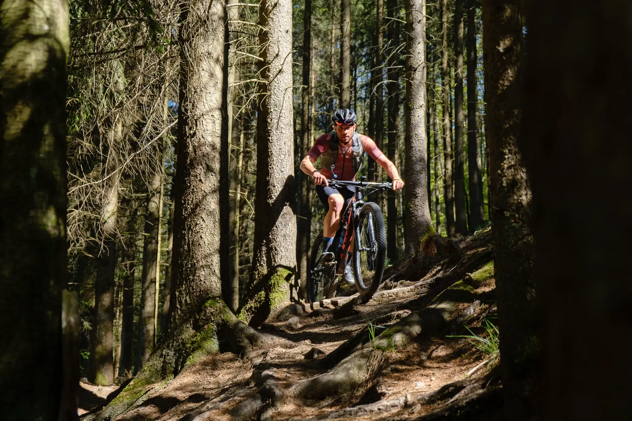
Stoneman Arduenna – old-school mountain biking in East Belgium
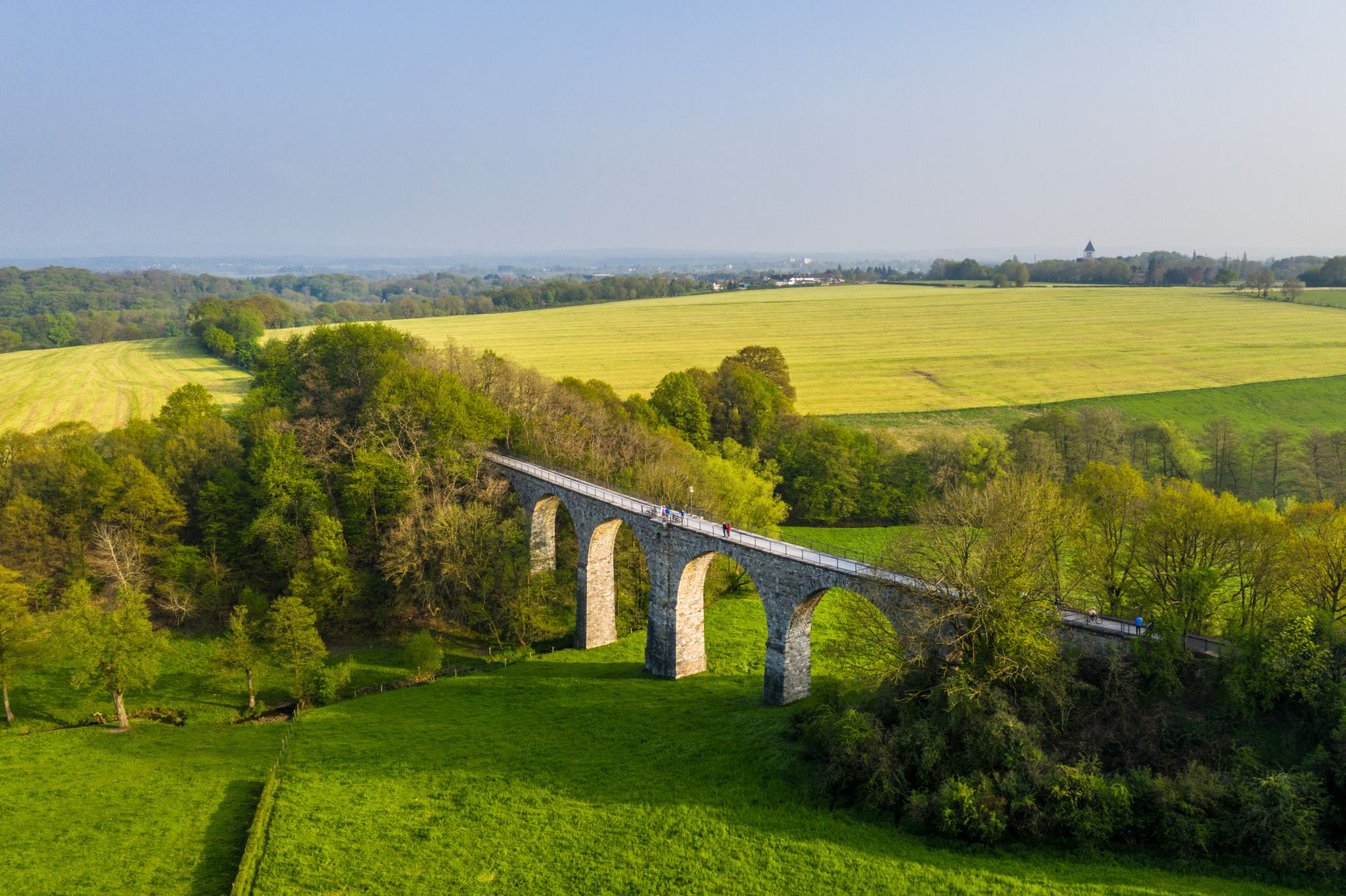
Cycling the tracks of the Vennbahn – the Vennbahnschleifen
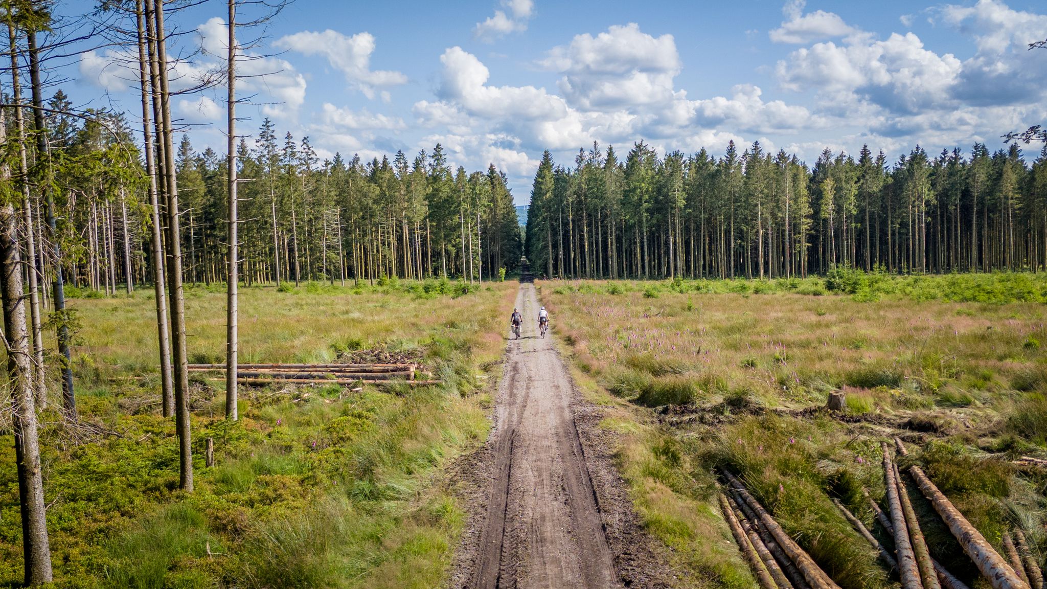
Vennbahn-Variant: A new gravel/MTB adventure
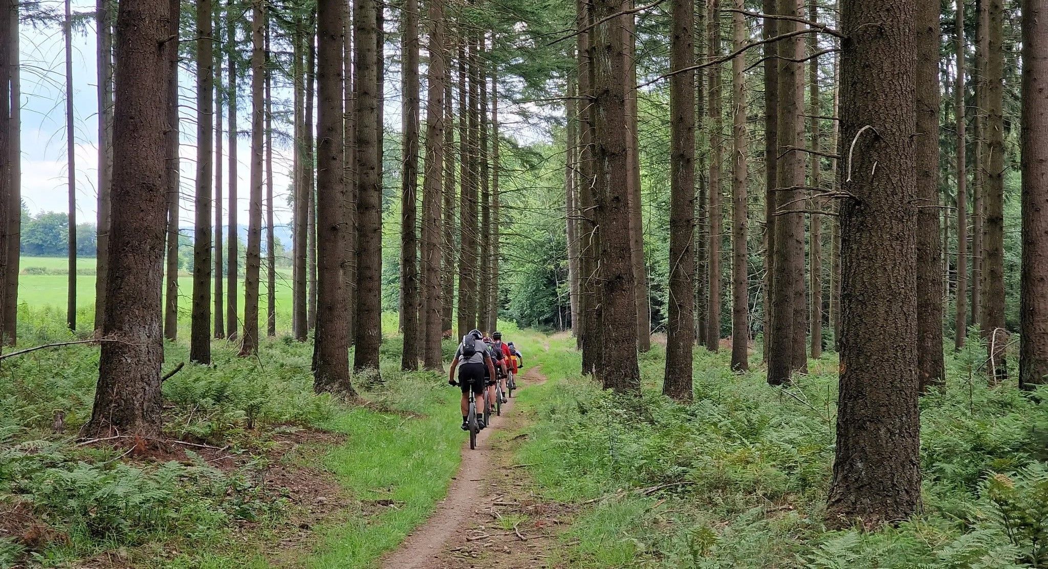
Trail rush through the East Belgian Ardennes

ベルギーのヴェンバーンサイクルルートでの無限のサイクリング楽しみ
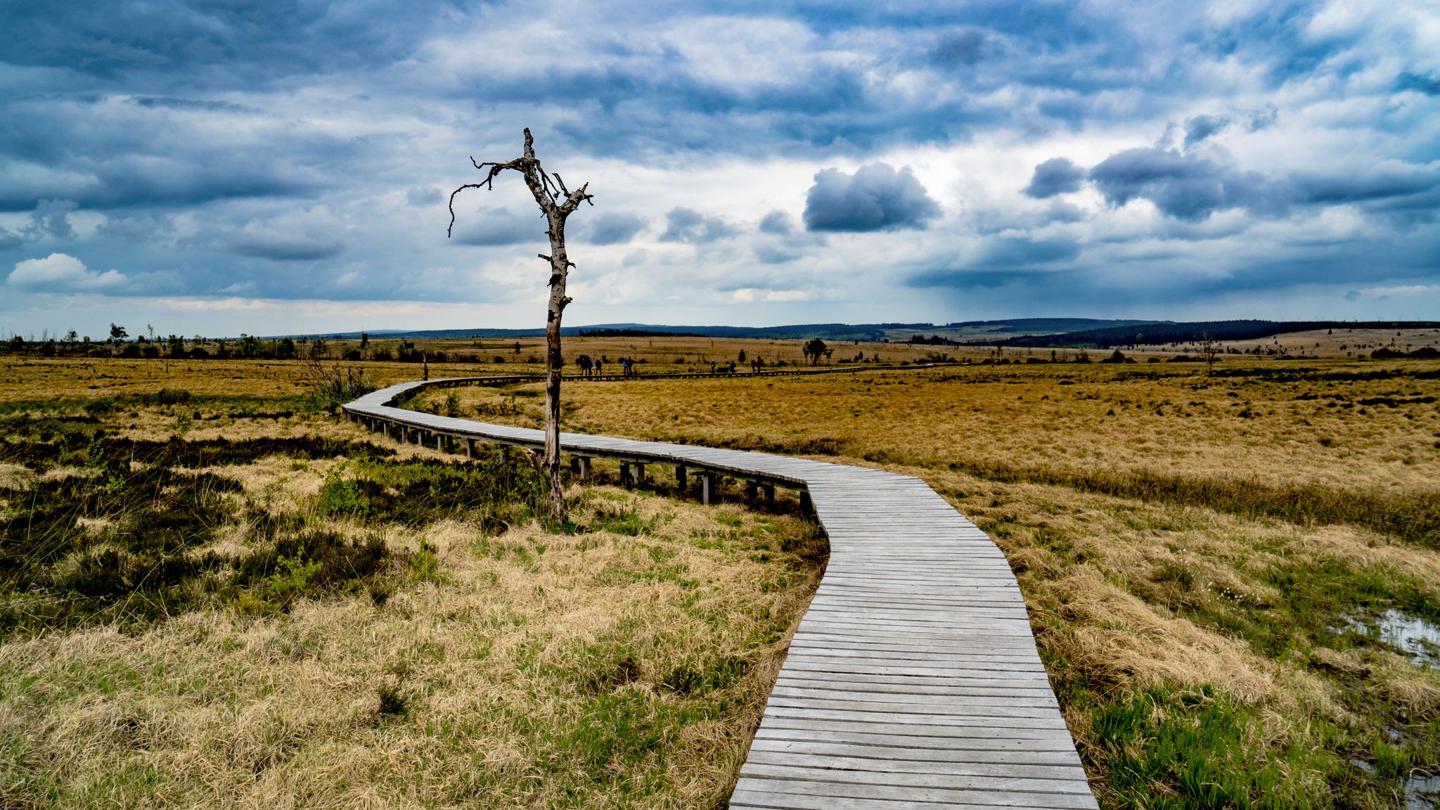
Leisure Tours on enchanted paths – hiking in East Belgium
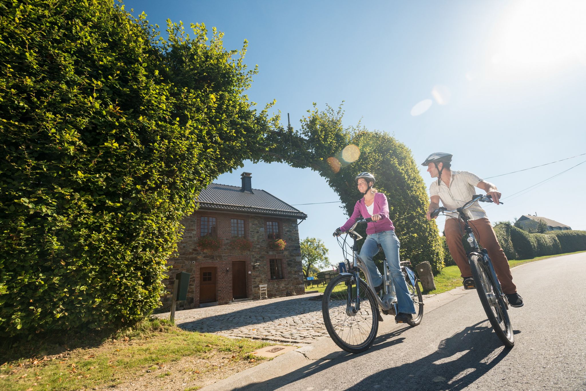
Ovelo cycle Tours in East Belgium – railway paths and natural beauty
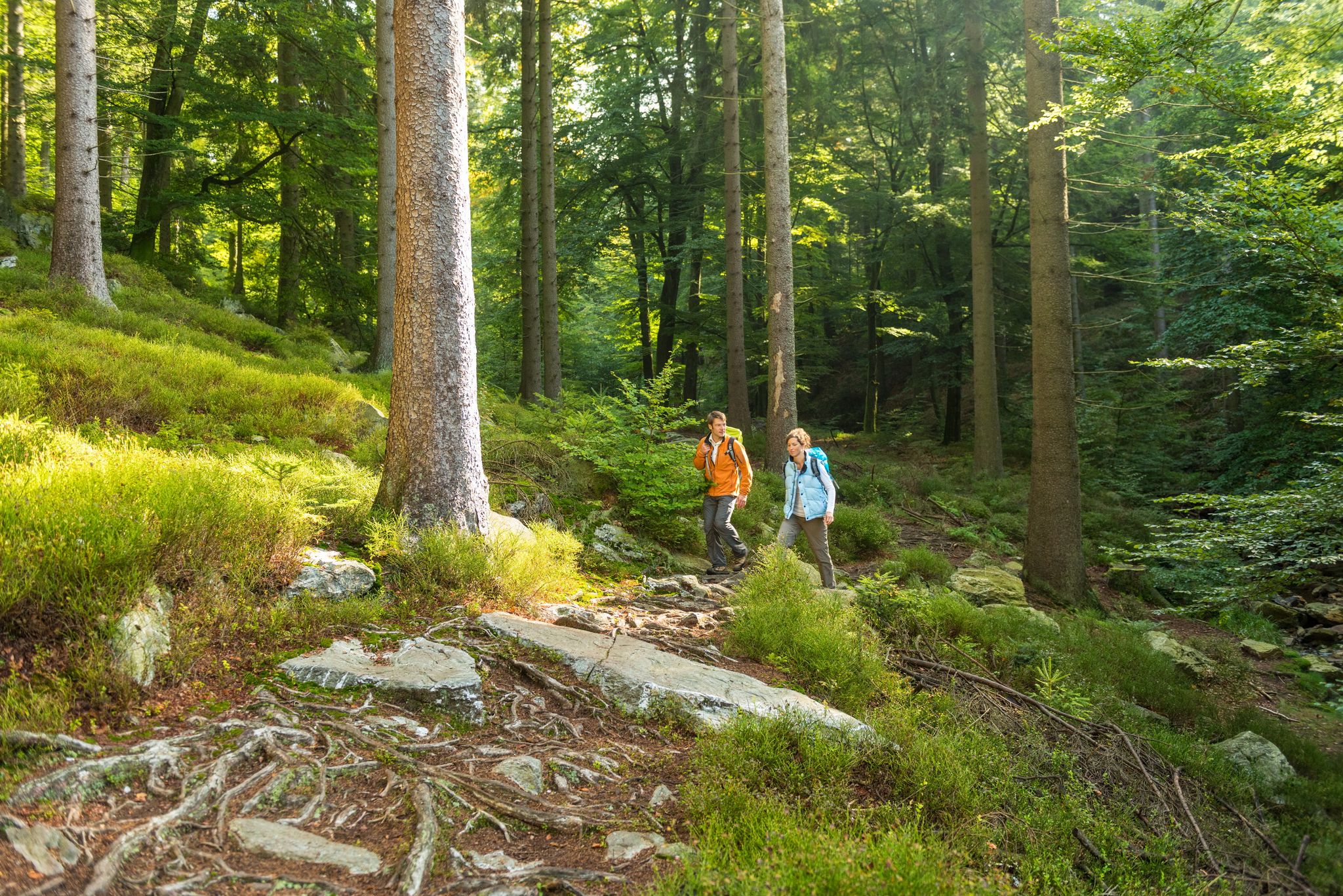
Fantastic regional footpaths — GR hiking paths in East Belgium

Vennbahn-Radweg – Grenzenloses Radvergnügen
ザンクト・フィートでのの他の冒険


コミュニティからのヒント

Großweberbachは、ここを日当たりの良い谷間を流れ、小川は牧草地を美しく蛇行しています。
0
0

The valley is a nature reserve. Magnificent flower meadows line the path – numerous butterflies fluttered here: Peacock butterfly, Checkered damselfly, Large Cabbage White, Small Oxeye, and other species.
2
0

The Devil's Stone Satan will only find peace when he can destroy the work Remacle has started...Remacle was warned about the devil's despicable plan to throw a huge stone on the abbey. Dressed like a simple monk and covered with a hood, he went to meet the Evil One, carrying a bag full of old shoes. When he arrives, he hears the devil, who was carrying a heavy stone, asking if the abbey was still far away. “And” was the answer, “here are all the shoes I have worn since I left Stavelot”. Discouraged, the devil dropped the stone. The stone is still there.
3
0

Great location, definitely worth a visit. If you look closely at the stone you can still see parts of the writing that was once there. Unfortunately the writing is almost illegible due to shrapnel etc.
1
0

Awesome tour that covers all the highlights of a MTB tour, thanks to the creator for 3 unforgettable hours of riding fun
1
0

The Am Richelberg pond complex is located east of Bleialf, a local community in the Schneifel in the Eifel district of Bitburg-Prüm in Rhineland-Palatinate, near Prüm. The body of water is therefore in the North Eifel Nature Park. The Dürenbach river flows through the ponds. The “Richelberg” road flanks the ponds on their western banks. There is a large farmstead on the opposite road. At the height of the northwest bank of the southernmost pond, the Wöppelbach flows into the Dürenbach. Here the “Richelberg” road bridges the two streams. A little further north of the pond complex is a barbecue hut. The Am Richelberg pond complex is located northeast of Bleialf on the edge of a small forest area. The ponds are accordingly characterized on the eastern bank by the foothills of this forest area. On the western banks - as a boundary to the “Richelberg” road - the ponds have a narrow strip of trees.
2
1

The rock is part of the Ardennes, a region with a rich geological history. Millions of years ago, during the Devonian Period (about 419.2 to 358.9 million years ago), the region was covered by shallow seas. These shallow seas accumulated sediments such as silt, mud and sand, which over time were compressed into layers of rock. Later, during geological uplift and erosion processes, the strata were lifted and parts of the surrounding rock were eroded away. This created the characteristic shape of the Roche du Diable and other rock formations in the region.
50
1
The Legend of the Devil's Stone: Satan will only rest when he has destroyed the work begun by Remaclus... Remaclus was informed by an angel of the devil's infamous intention to throw a huge stone at the abbey. Dressed like a simple monk and hidden under the hood, he then went to evil with a sack full of old shoes. When he reached him, he heard the devil carrying a heavy stone and asking him if the abbey was far away. "And how!" he replied, "these are all the shoes I've worn out since I left Stavelot!" Discouraged, the devil dropped the stone and fled. The stone is still there today! Source: http://tourismestavelot.be/en/some-legends
54
0
ザンクト・フィートでのの人気観光スポット

komootモバイルアプリでインスピレーションを得よう


さらに探索
これらのガイドで、最高の洞窟を探す範囲を広げましょうザンクト・フィートでの:
