コクスアイデの天然記念物・トップ20
コクスアイデが誇る美しい風景を見てみたいなら、コクスアイデの素晴らしい天然記念物・トップ20
に行ってみましょう。あなたにぴったりの場所が見つかるよう、素晴らしい天然記念物を探索するために必要なすべての情報を集めました。次のアウトドアの冒険に出かける計画の参考にしましょう。
最終更新日: 8月 22, 2026
ニュー=ポールトのイーザー河口
ハイライト • 川
翻訳者 Google •
役立つ情報 は

クラーケルデューイネン自然保護区
ハイライト • 自然
翻訳者 Google •
役立つ情報 は

今すぐサインアップして、こんな場所を発見しよう
最高のシングルトラック、ピーク、その他のエキサイティングなアウトドアスポットのおすすめを受け取ろう。
無料新規登録
デ・ドールンパンネ
ハイライト • 自然
翻訳者 Google •
役立つ情報 は
オースデューインケルケ・ビーチの馬に乗ったエビ漁師
ハイライト • ビーチ
翻訳者 Google •
役立つ情報 は

ホーゲ・ブレッカーからの眺め
ハイライト • 展望台
翻訳者 Google •
役立つ情報 は
無料でサインアップして、さらに多くの自然記念物を発見しましょう コクスアイデでの。
無料新規登録
すでにアカウントをお持ちですか?


コミュニティからのヒント

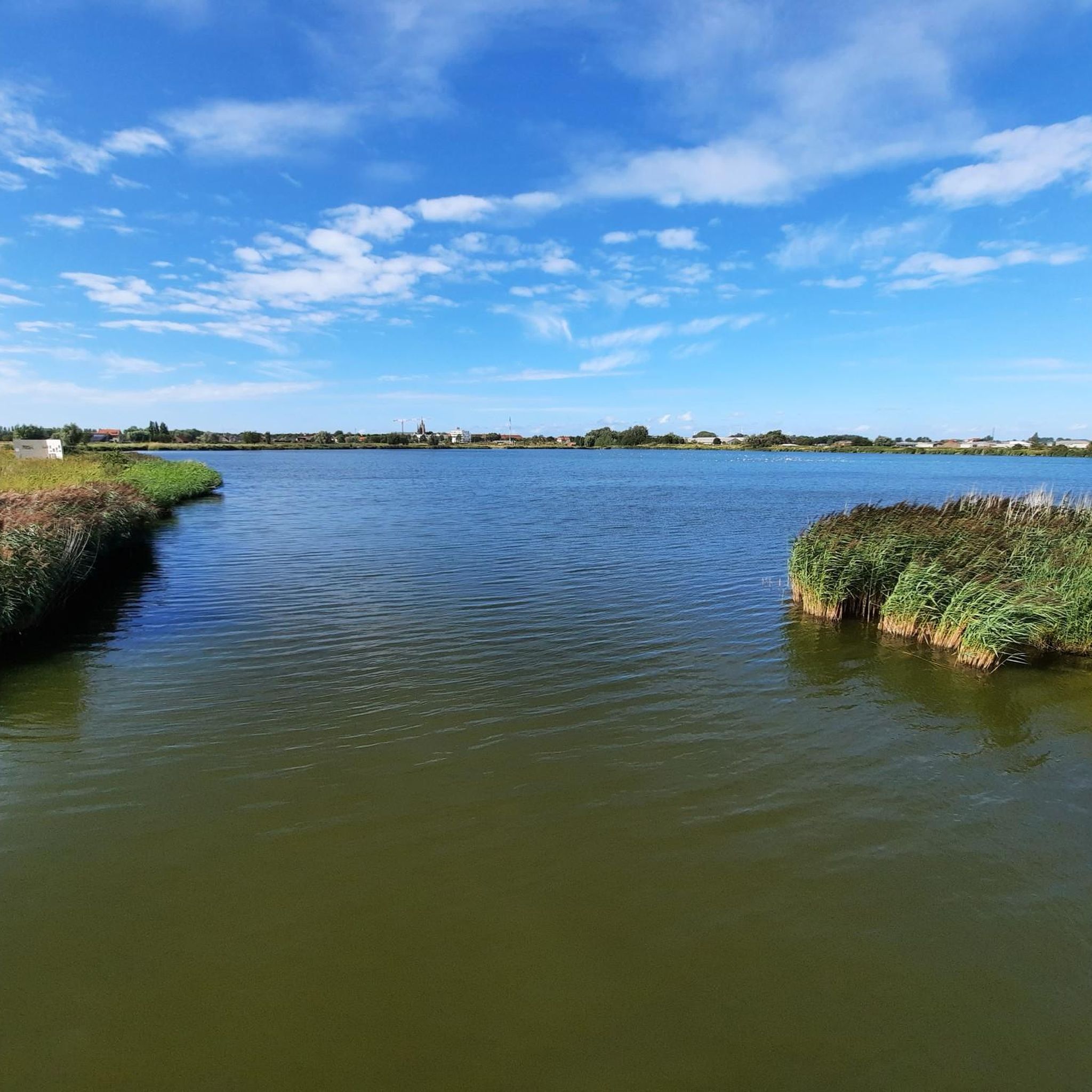
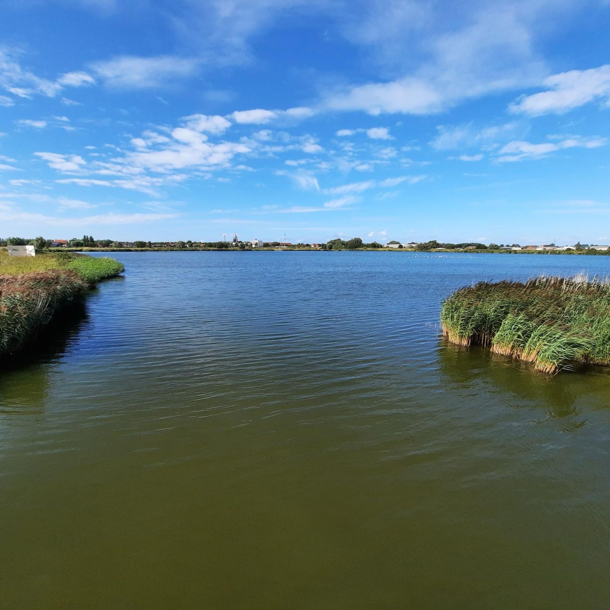
The Yser is historically important because of the role it played during the First World War. The river formed a natural defense line and was the scene of fierce fighting. Today, you can find various monuments and memorials along the Yser that commemorate this period, such as the Yser Monument at the Ganzepoot. Here on the left bank of the Yser estuary, the cycle route "cycling along the front line of the First World War" also begins. (Nieuwpoort - Bazel)
5
0

Nature reserve. You're pretty much alone here.
3
0

Welcome to De Hoge Blekker, with its 33 meters the highest dune in the entire Flemish coastal region. A striking appearance and an impressive eye-catcher. The dune used to be a fixed navigation point for sailors. From a distance they could see the white back as a kind of 'flash' ('bleach' is the local dialect for 'flash'). The Hoge Blekker is a drifting dune that has covered some distances over time. The dune now covers an area of approximately 33 hectares. Enough room for a picnic stop!
4
0

Beautiful semi-paved walking path that goes through De Doornpanne. Every season is colored differently here. With a bit of luck, donkeys or ponies will come to greet you.
9
0
At 33 meters above sea level, the Hoge Blekker, the dune that gave its name to the domain, is not only the highest dune (ridge) on our Flemish coast, but also a beautiful nature reserve, covering approximately 18 hectares. Blekker or Blinkaart is the common name for a bare dune hill that reflects sunlight (bleaching or shining). It was a permanent beacon for sailors who saw its white crown shining from afar ('bleaching' in the local dialect). At the origin of the Hoge Blekker and the adjacent dune massif are parabolic dunes that formed between the 16th and 19th centuries.
10
1

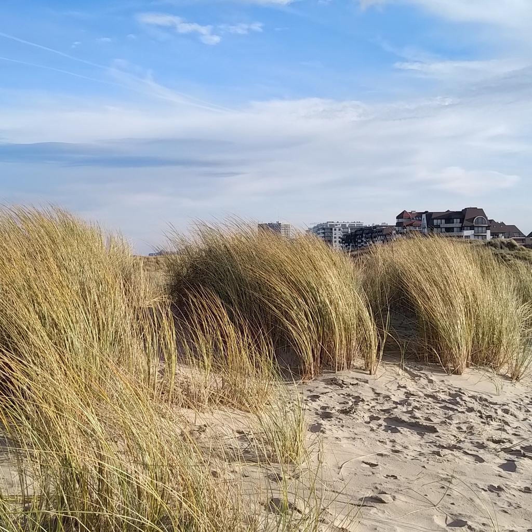
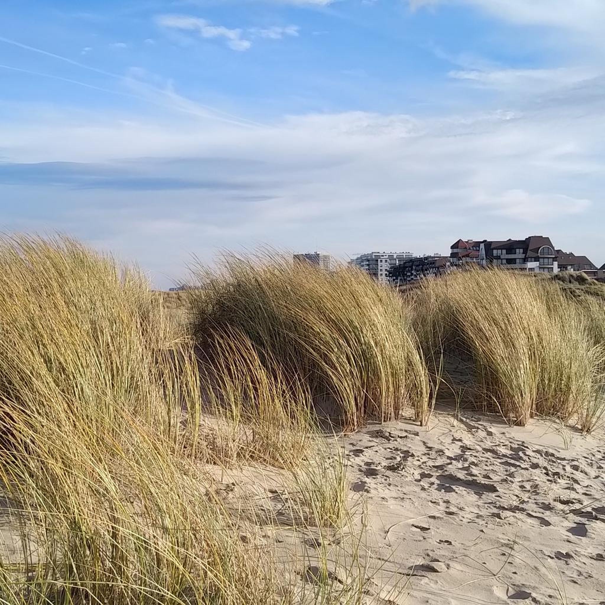
Together with the IJzermonding and the Zwin, the Krakeelduinen are part of the Natura 2000 area Dune Areas. After WWII the dunes were used as a water extraction area, but nowadays the dune area is being restored to its natural glory. You will now find Scottish Blackface sheep grazing the area and since the concrete has been removed the sand can flow freely again.
3
0

From the top of the Hoge Blekker you have a beautiful view of the lower dunes and landscapes, such as the Doornpanne. You will also find orientation tables that point you in which direction all kinds of places are. Those who are tired of the climb can rest on the benches.
13
0
From the top of the Hoge Blekker you have a beautiful view of the lower dunes and landscapes. You will also find orientation tables that point you in which direction all kinds of places are. Those who are tired of the climb can rest on the benches.
12
1
コクスアイデでのの人気観光スポット

komootモバイルアプリでインスピレーションを得よう


さらに探索
これらのガイドで、最高の洞窟を探す範囲を広げましょうコクスアイデでの:
