ダンタディカドーレの峠・トップ14
風景を楽しんだり、上りや下りを満喫したり、峠には楽しみ方がたくさんあります。ダンタディカドーレの素晴らしい峠の一覧を参照して、思い出に残るアドベンチャーに出かけましょう。コミュニティのメンバーがコミュニティのために投稿した峠のハイライトは、他のユーザーが実際におすすめする情報なので、どれも信頼できるものです。気に入った峠にさっそく向かってみましょう。
最終更新日: 8月 22, 2026
デムートパッセージ(ストーンマンドロミティ・トレイル)
ハイライト (セグメント) • トレイル
to call it flowing, maybe you have to
Your name is Danny MacAskill? A good MTB‘ke
will be half the distance for sure …
翻訳者 Google •
役立つ情報 は

Stonemanのスタンプ地点:Passo Silvella
ハイライト • 山道
翻訳者 Google •
役立つ情報 は

今すぐサインアップして、こんな場所を発見しよう
最高のシングルトラック、ピーク、その他のエキサイティングなアウトドアスポットのおすすめを受け取ろう。
無料新規登録
パッソ・デッラ・マウリア(1298m)
ハイライト • 山道
翻訳者 Google •
役立つ情報 は

ヴィーゴ・ディ・カドーレ - セッラ・チャンピゴット
ハイライト (セグメント) • 山道
翻訳者 Google •
役立つ情報 は

パッソ・サン・アントニオ
ハイライト • 山道
翻訳者 Google •
役立つ情報 は

無料でサインアップして、さらに多くの山道を発見しましょう ダンタディカドーレでの。
無料新規登録
すでにアカウントをお持ちですか?
無料アカウントで今日から始めよう
次の冒険が待っています。
ログインまたは登録


コミュニティからのヒント

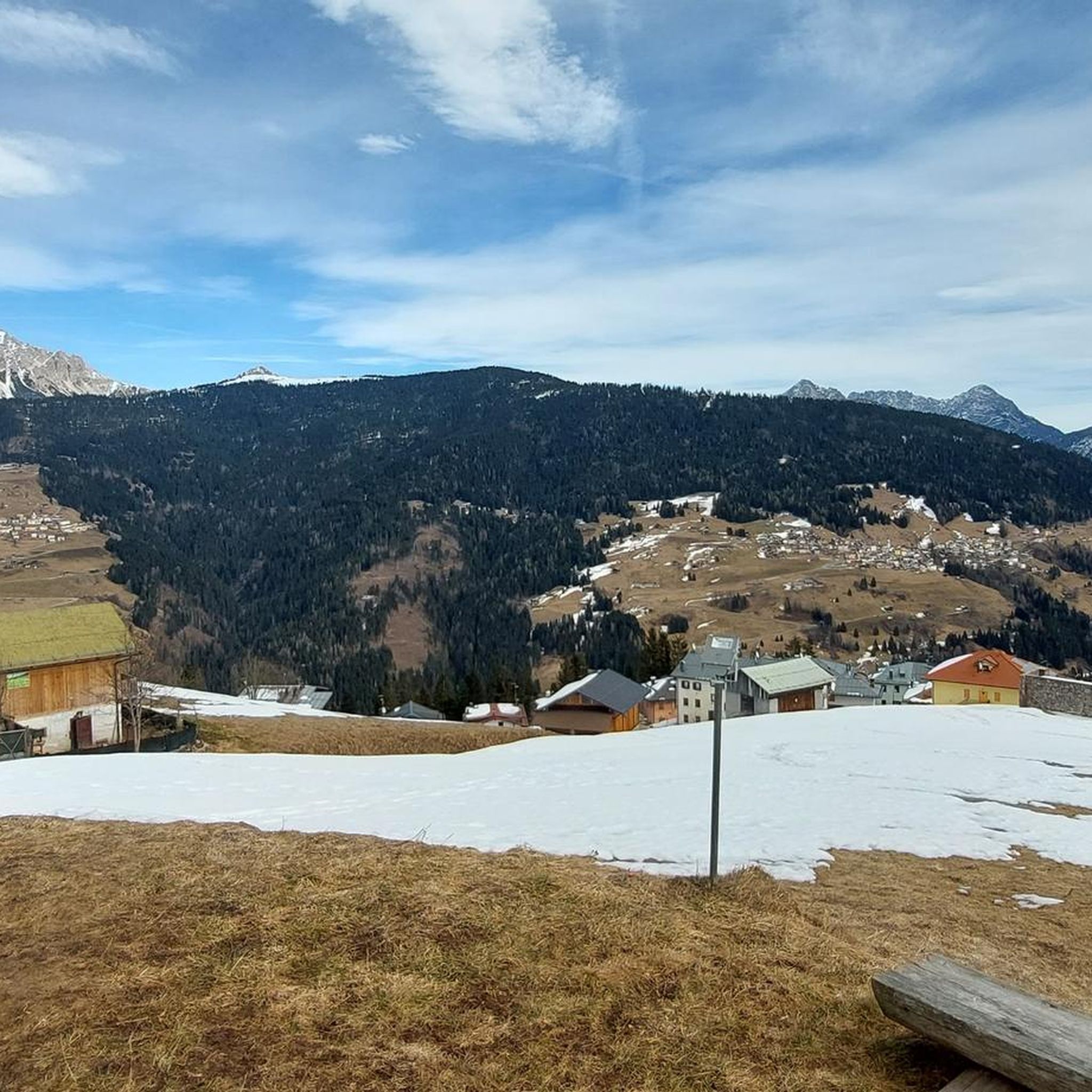
The pass is somewhat unspectacular, but easy to drive along the road. It's practically a must for further access into the Dolomites.
0
0

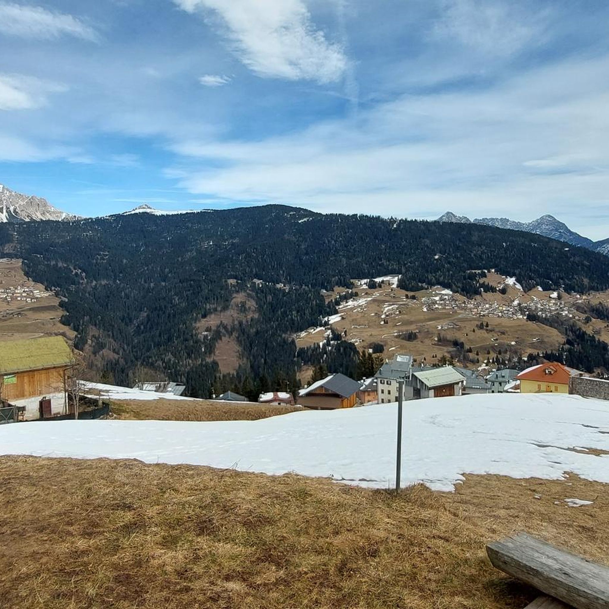
Passo Mauria (1,298 m) is one of the most evocative passes in the Eastern Dolomites, located on the border between Veneto and Friuli Venezia Giulia. This historic pass is a point of reference for hikers, cyclists and motorcyclists thanks to its strategic position and the breathtaking views it offers. Nestled among fir forests and imposing peaks, Passo Mauria is a perfect starting point for venturing along the paths that cross the Cridola Group or to reach destinations such as Ricovero Miaron. The spectacular views of the surrounding mountains and the tranquility of the area make it an ideal place to immerse yourself in nature and enjoy an authentic and uncontaminated atmosphere. For trekking enthusiasts, the pass offers access to routes that vary from simple to more challenging, offering views that range from the Dolomites to Cadore. During the winter, the landscape transforms into a snowy wonder, attracting snowshoe hikers and ski mountaineers.
0
0

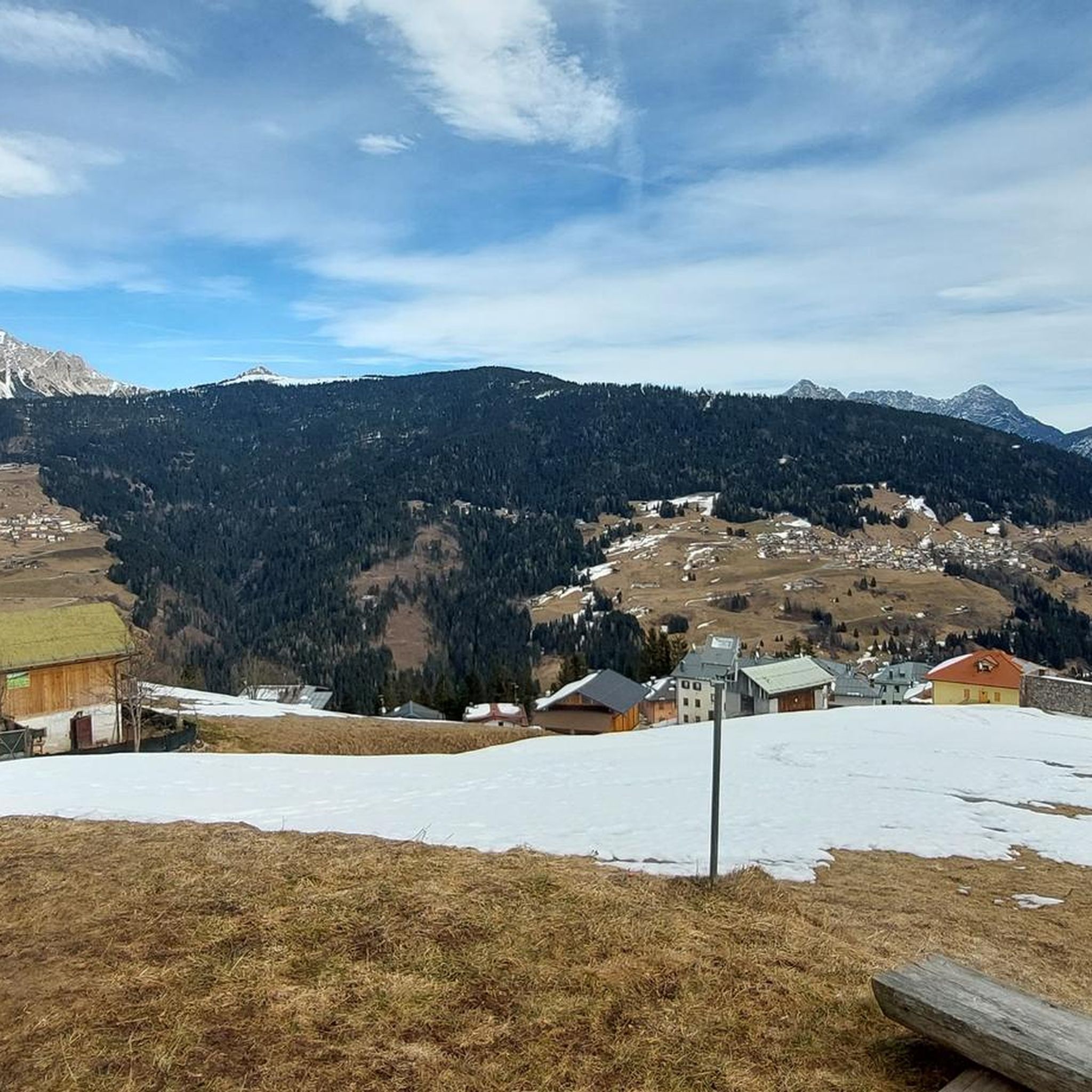
Pass between Friuli and Veneto at 1350 meters above sea level, starting point for excursions in the Friulian Dolomites.
1
0

Passo della Mauria - a good climb is then rewarded with a fast and winding descent.
0
0

Anyone who thinks the climb is over here is wrong. Now there is another climb with quite loose ground... most people will probably have to push - me too 😉
3
0

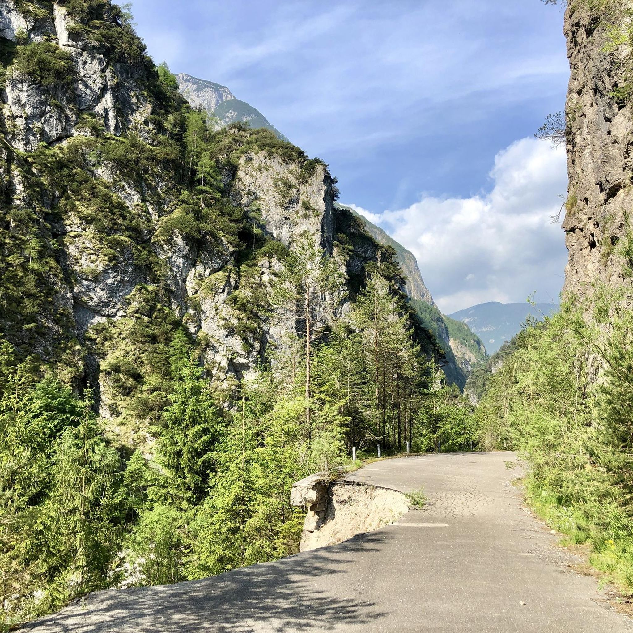
Very quiet and peaceful on a Saturday in June. The road is not perfect for road bicycle, but if you can handle some vibrations, it's just fine. Be prepared for a 2km flat tunnel.
0
1

The Sant'Antonio pass is an Alpine pass located at 1,476 m above sea level. on the provincial road 532, which connects Padola with Auronzo di Cadore, then Comelico with the center of Cadore. The same pass can be reached from Danta di Cadore.
18
0

Nice climb with well-kept asphalt.
5
0
ダンタディカドーレでのの人気観光スポット

komootモバイルアプリでインスピレーションを得よう


さらに探索
これらのガイドでさらに壮大な山道を見てみましょうダンタディカドーレでの:
