キエース・ダルパゴの峠・トップ15
風景を楽しんだり、上りや下りを満喫したり、峠には楽しみ方がたくさんあります。キエース・ダルパゴの素晴らしい峠の一覧を参照して、思い出に残るアドベンチャーに出かけましょう。コミュニティのメンバーがコミュニティのために投稿した峠のハイライトは、他のユーザーが実際におすすめする情報なので、どれも信頼できるものです。気に入った峠にさっそく向かってみましょう。
最終更新日: 7月 12, 2026
ファダルト峠
ハイライト • 山道
翻訳者 Google •
役立つ情報 は

Forcella Val Grande
ハイライト • 山道
From here you …
翻訳者 Google •
役立つ情報 は

今すぐサインアップして、こんな場所を発見しよう
最高のシングルトラック、ピーク、その他のエキサイティングなアウトドアスポットのおすすめを受け取ろう。
無料新規登録
サウクの鞍部
ハイライト • 山道
翻訳者 Google •
役立つ情報 は

コル・デル・ロヴォ
ハイライト • 山道
翻訳者 Google •
役立つ情報 は

コンカ・デル・アルパゴとサンタ・クローチェ湖の眺め
ハイライト • 展望台
翻訳者 Google •
役立つ情報 は

無料でサインアップして、さらに多くの山道を発見しましょう キエース・ダルパゴでの。
無料新規登録
すでにアカウントをお持ちですか?




コミュニティからのヒント

Winter biking is also possible in Piancavallo
0
0

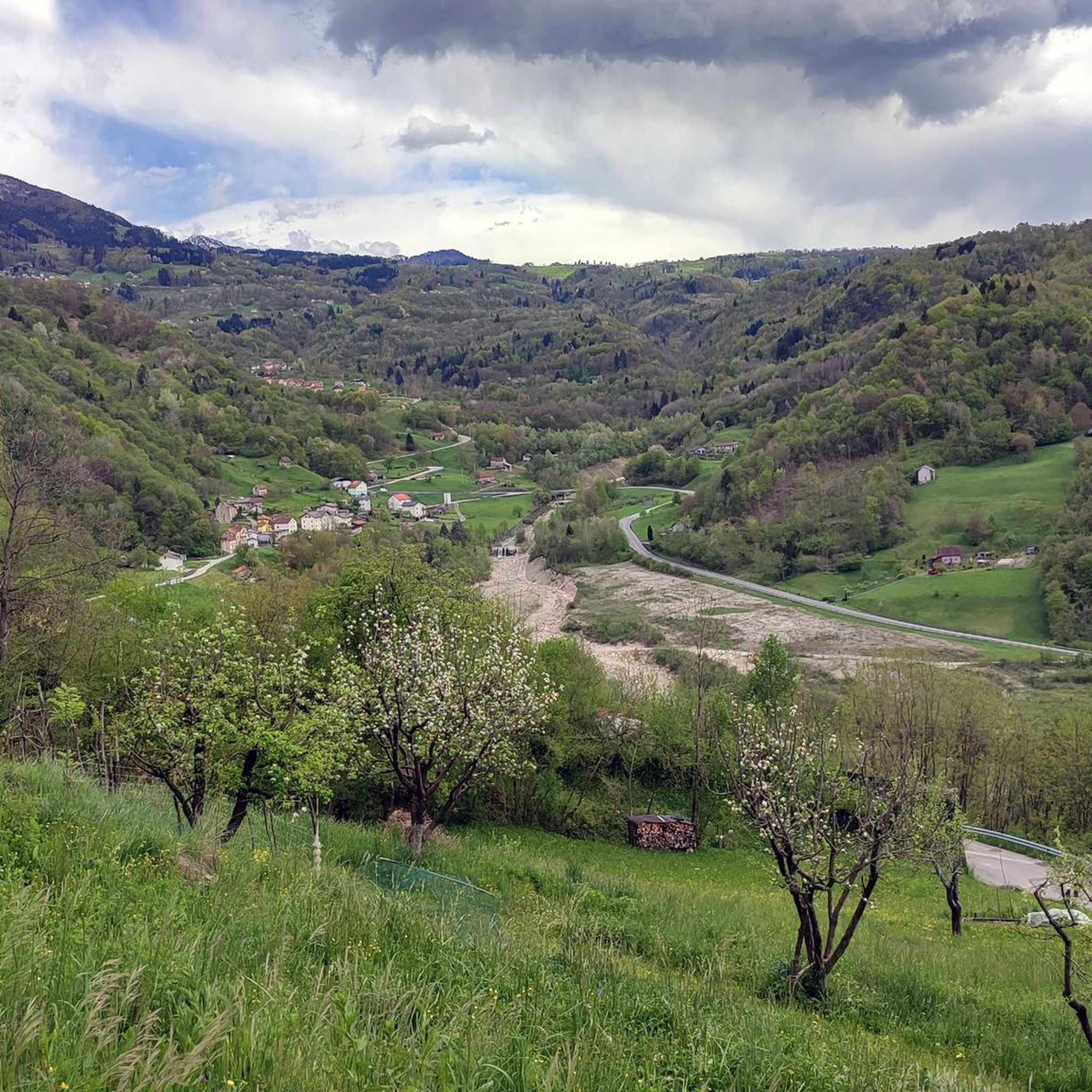
The Sauc saddle divides Mount Sauc from Col Cornier and opens up the panorama over the plain and Piancavallo.
0
0

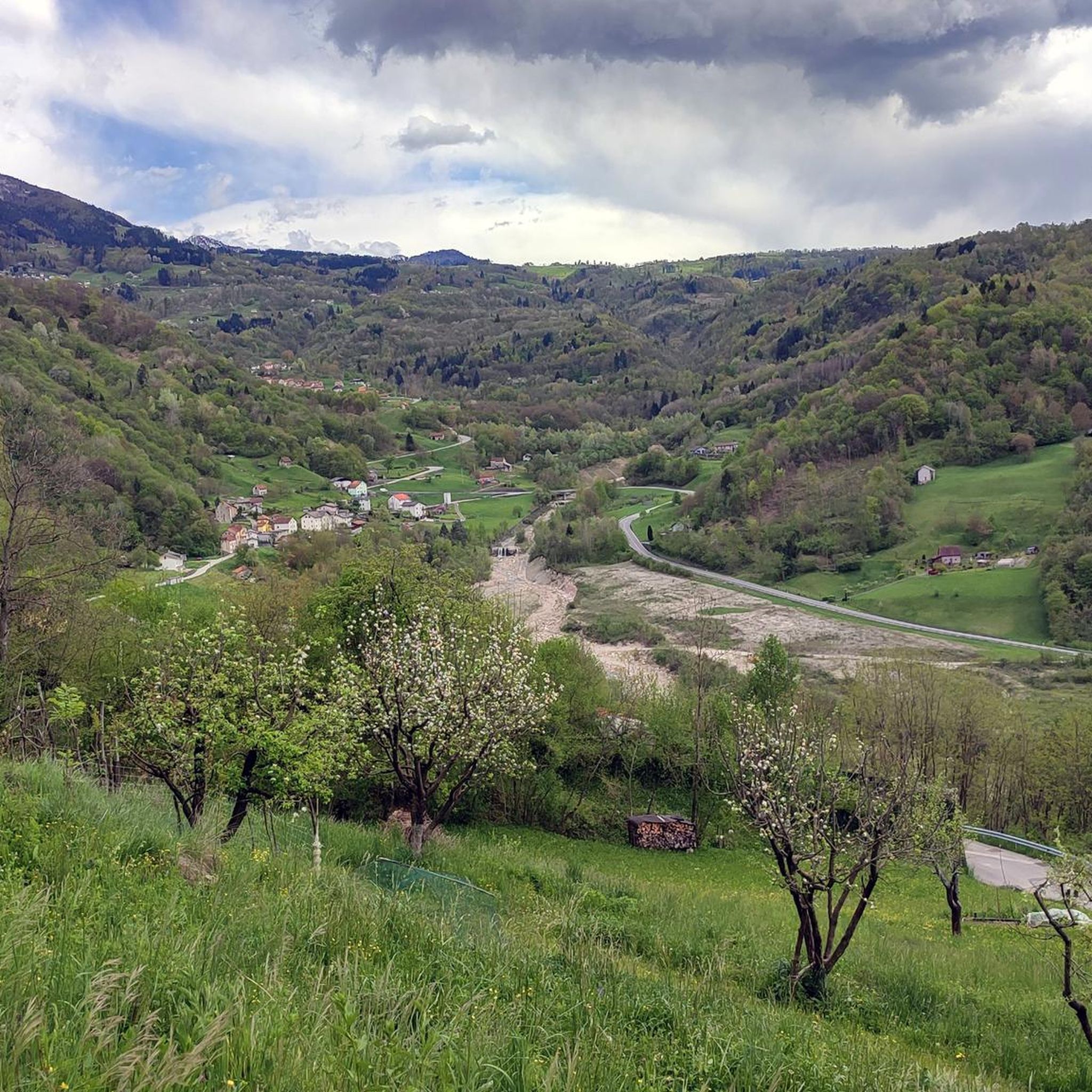
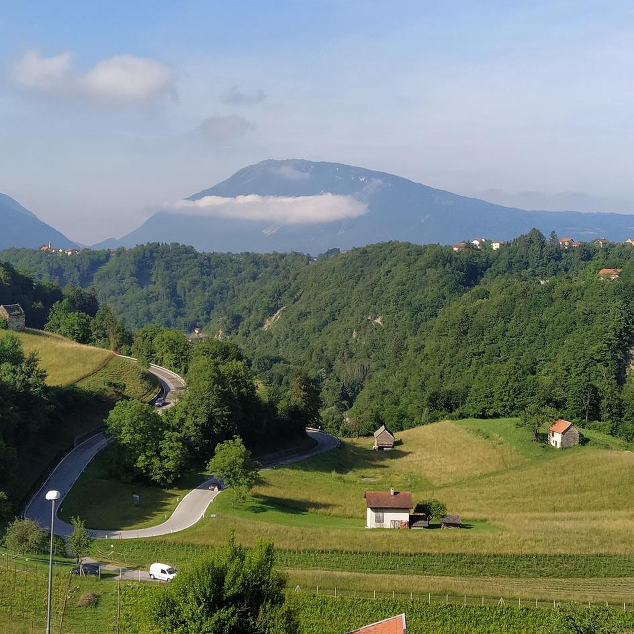
The Fadalto saddle is a pre-Alpine pass that connects Val Lapisina to Alpago, between the provinces of Treviso and Belluno. The pass is narrow between Mount Faverghera on one side and the slopes that border the Cansiglio on the other. The saddle was formed by multiple landslide events that affected its eastern side. The accumulation of material in the valley floor led to the formation of a barrier that interrupted the course of the Piave and formed two barrier basins, Lake Santa Croce on the Belluno side and Lake Morto in the Treviso area. Studies carried out on organic material found in the area have allowed us to place the first events at the end of the last ice age, when with the retreat of the great Piave glacier the counterthrust that supported the rocky walls disappeared. The landslide is still active: on the eastern flank there is still a large detachment niche, approximately 5 km long and 400 m high, subject to periodic collapses. The last one, still clearly visible, dates back to 2017. Until 1995, the year the A27 motorway was built, the Alemagna state road 51 which passes right here was the only connection between the Treviso foothills and Valbelluna.
2
1

Relatively heavy car traffic, many motorbikes, very few trucks, noisy, rather gentle climb
1
2
Traveling alone is simply beautiful
1
0


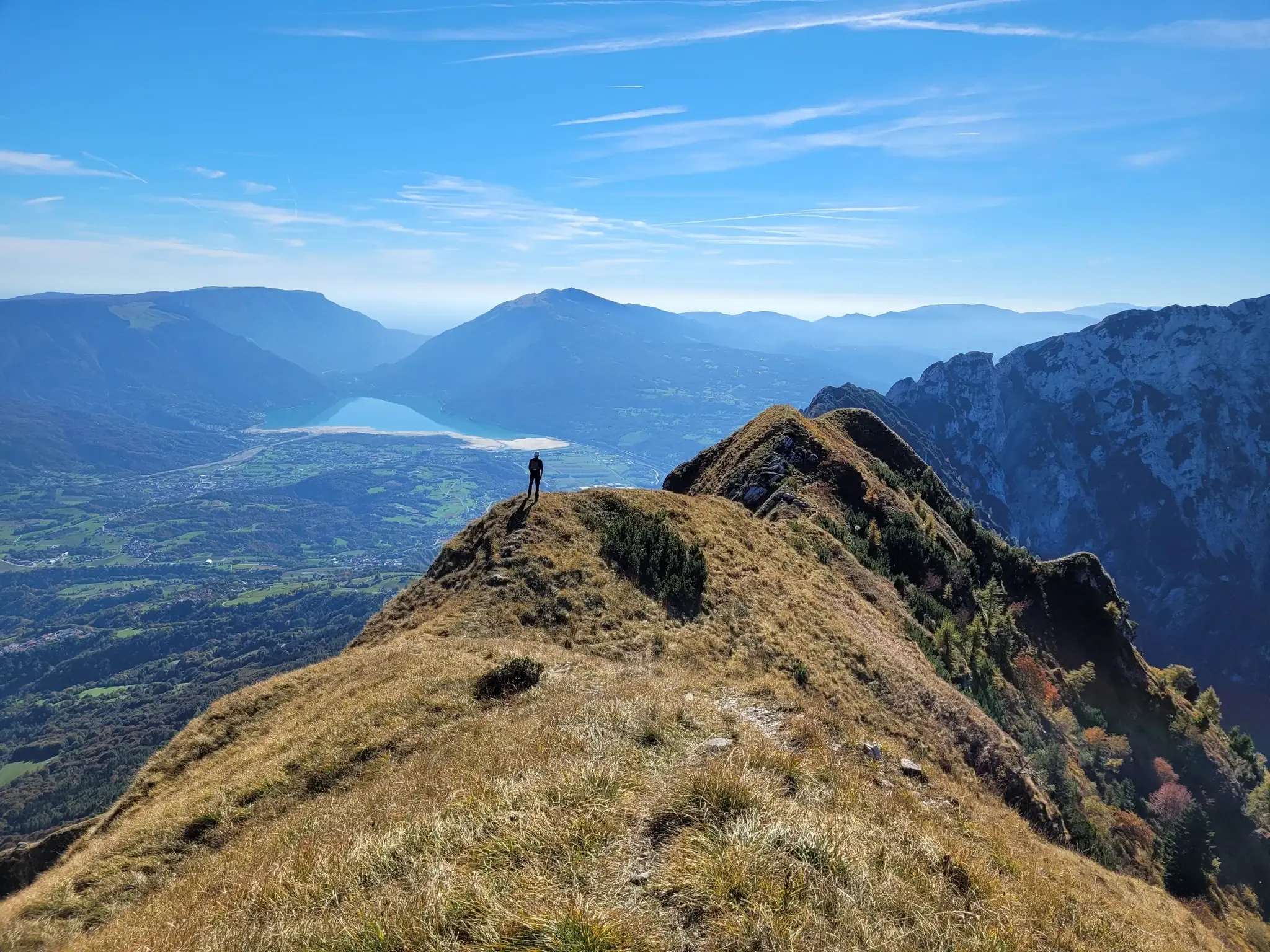
The Val Grande fork is located at 1,926 meters above sea level and separates the Val Grande peak from Mount Lastè in the Cavallo di Pordenone group. From here you can enjoy a 360° panorama. Towards the west, in fact, you can admire the mountain range of the Venetian-Belluno Alps, towards the south the Piancavallo group is clearly recognisable, and for the remaining part, on clear days, you can see a good part of the Julian Alps all the way to the sea.
2
0

a panoramic glimpse from the piedmont road between S. Martino and Rif. Carota, at the foot of M. Teverone: the saddle of Passo Fadalto in the centre, with on the right. Mount Faverghera, on the left. the Cansiglio plateau and the lake of S. Croce. From this perspective, it is easy to understand how the massive prehistoric landslide of M. Millifret was able to divert the course of the Piave river towards Valbelluna, which in ancient times flowed in Val Lapisina through the Fadalto, determining the formation of the lake of S. Croce
0
0

komootモバイルアプリでインスピレーションを得よう


さらに探索
これらのガイドでさらに壮大な山道を見てみましょうキエース・ダルパゴでの:
