ビエンティナの峠・トップ3
風景を楽しんだり、上りや下りを満喫したり、峠には楽しみ方がたくさんあります。ビエンティナの素晴らしい峠の一覧を参照して、思い出に残るアドベンチャーに出かけましょう。コミュニティのメンバーがコミュニティのために投稿した峠のハイライトは、他のユーザーが実際におすすめする情報なので、どれも信頼できるものです。気に入った峠にさっそく向かってみましょう。
最終更新日: 10月 29, 2026
カンポ・ディ・クローチェ
ハイライト • トレイル
翻訳者 Google •
役立つ情報 は

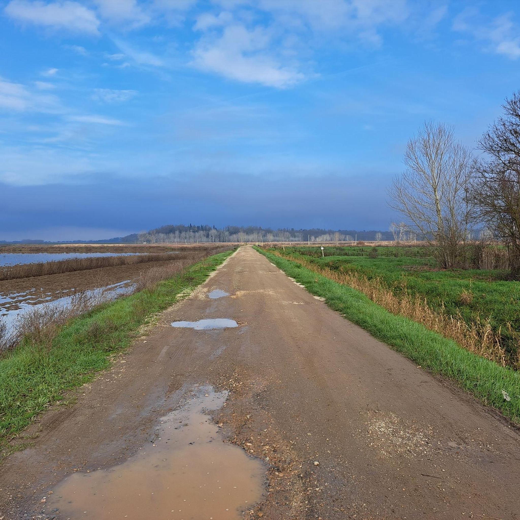
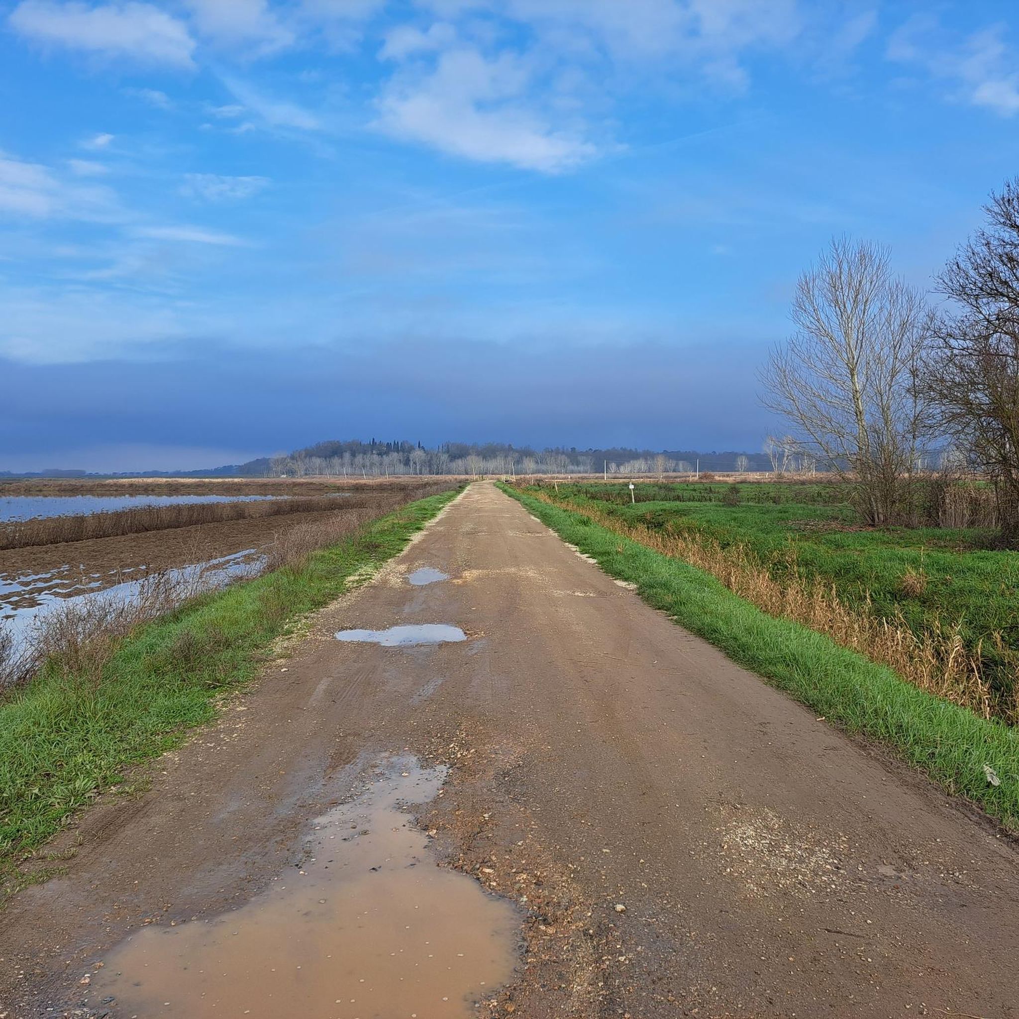
パッソ・プラート・チェラジョーラからのピサ平野の眺め
ハイライト • 展望台
翻訳者 Google •
役立つ情報 は
今すぐサインアップして、こんな場所を発見しよう
最高のシングルトラック、ピーク、その他のエキサイティングなアウトドアスポットのおすすめを受け取ろう。
コッレ・デル・プラート・ディ・カルチ
ハイライト • 山道
役立つ情報 は

プラート・チェラジョラ峠
ハイライト • 山道
この峠は、この地域の野外活動における主要なアクセスポイントおよび交差点の一つであり、ハイキング愛好家やサイクリストの両方から非常に人気があります。
翻訳を表示中
役立つ情報 は

Foce di Calci
ハイライト • 山道
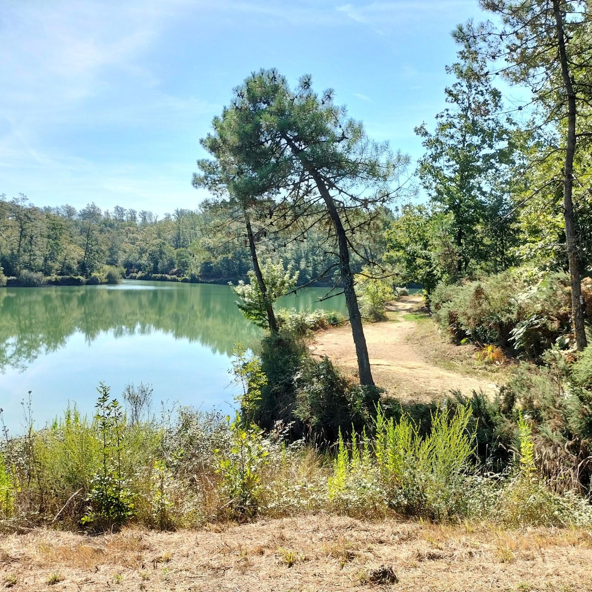
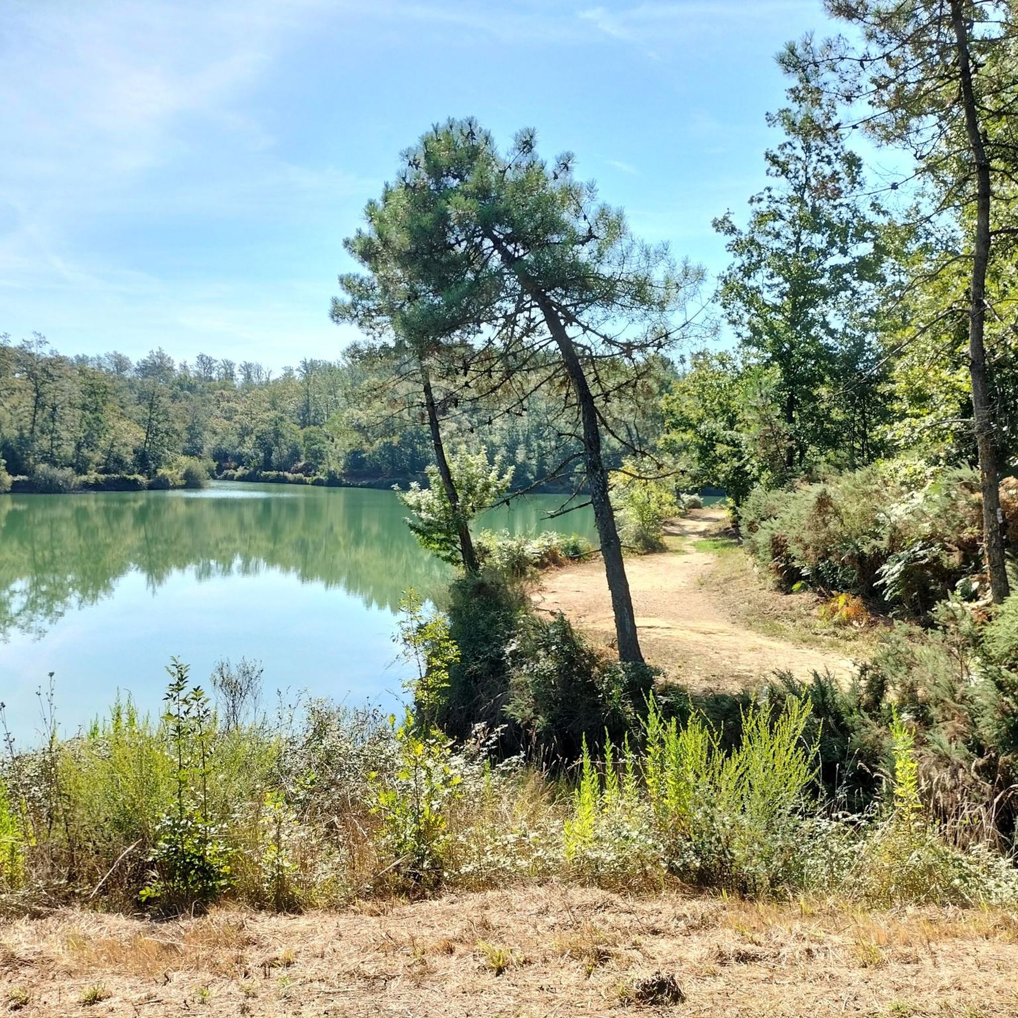
10:45 am, a short break at the Foce di Calci, with the opportunity …
翻訳者 Google •
役立つ情報 は

無料アカウントで今日から始めよう
次の冒険が待っています。
コミュニティからのヒント

Passo di Prato Ceragiola(Prato a Ceragiolaとしても知られる)は、トスカーナ州のモンティ・ピサーニ(Monti Pisani)にある標高約617〜640メートルの重要な峠で、ブティ(Buti)の自治体内にあり、カルチ(Calci)からも近い場所に位置しています。 この峠は、この地域の野外活動における主要なアクセスポイントおよび交差点の一つであり、ハイキング愛好家やサイクリストの両方から非常に人気があります。
0
0

Ready to go down the Tobler, a suggestive route crossing some wooded areas and some not shaded. 10:45 am, a short break at the Foce di Calci, with the opportunity of a break immersed in the greenery and being able to decide to do a variable of 25 minutes along a panoramic ring overlooking Calci (Le Piscine).
0
0

One of the main junctions in the Pisan mountains...
2
0

A small Amiata in the Pisan Mountains :) it's a pity it's such a small piece
1
0

From the summit of Mount Faeta, it is possible to have a 360 degree view of the entire surrounding area. On days with clear skies, from here you can admire not only the Piana di Pisa, Monte Serra (917 m) and the main peaks of the Apuan Alps, but also the islands of the Tuscan Archipelago, from Gorgona to Elba . On clear days it is also possible to see the coast of Corsica.
3
0

road that starts from via luigi Settembrini Agnano. slopes 10%
3
0

Monte Serra reachable from 3 sides, Pieve di Compito, Calci and Buti in order according to the difficulty. On clear winter and some summer days you can see as far as Corsica.
4
0
Monte Serra da Calci starts immediately strong in the first 3 km with a 15% stretch at the first bend, then climbs on a regular one up to 7 km where the hardest stretch is present, about 1 km at an average 10%
2
0
ビエンティナでのの人気観光スポット

komootモバイルアプリでインスピレーションを得よう


