Cevoの天然記念物・トップ20
Cevoが誇る美しい風景を見てみたいなら、Cevoの素晴らしい天然記念物・トップ20
に行ってみましょう。あなたにぴったりの場所が見つかるよう、素晴らしい天然記念物を探索するために必要なすべての情報を集めました。次のアウトドアの冒険に出かける計画の参考にしましょう。
最終更新日: 10月 15, 2026
カンペッリ峠
ハイライト • 山道
翻訳者 Google •
役立つ情報 は

アヴィオロ湖
ハイライト • 湖
翻訳者 Google •
役立つ情報 は

今すぐサインアップして、こんな場所を発見しよう
最高のシングルトラック、ピーク、その他のエキサイティングなアウトドアスポットのおすすめを受け取ろう。
ラゴ・デッラ・ヴァッカ
ハイライト • 湖
翻訳者 Google •
役立つ情報 は
マルガ・ビッシーナダム
ハイライト • 記念碑
A path for bikers leads from …
翻訳者 Google •
役立つ情報 は

モンテ・カンピオンチーノ
ハイライト • 山頂
翻訳者 Google •
役立つ情報 は
無料でサインアップして、さらに多くの自然記念物を発見しましょう Cevoでの。
すでにアカウントをお持ちですか?
無料アカウントで今日から始めよう
次の冒険が待っています。



コミュニティからのヒント


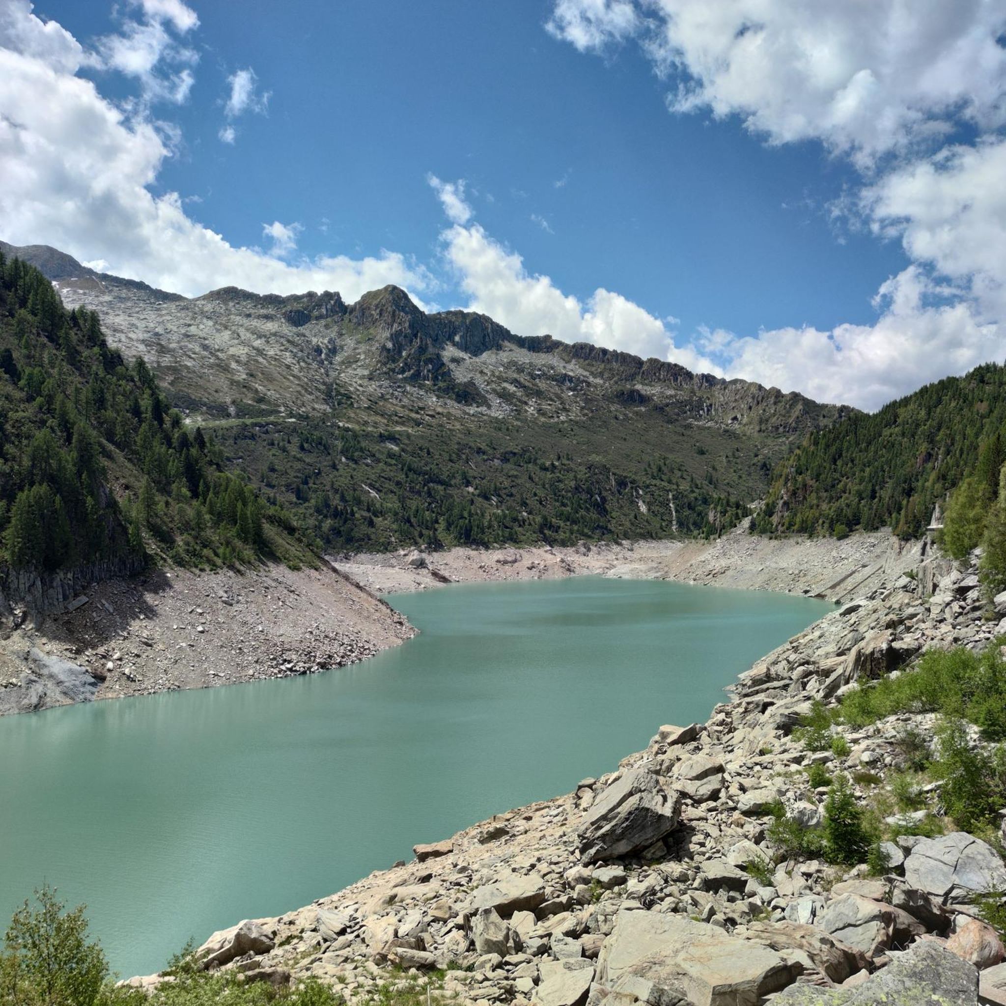
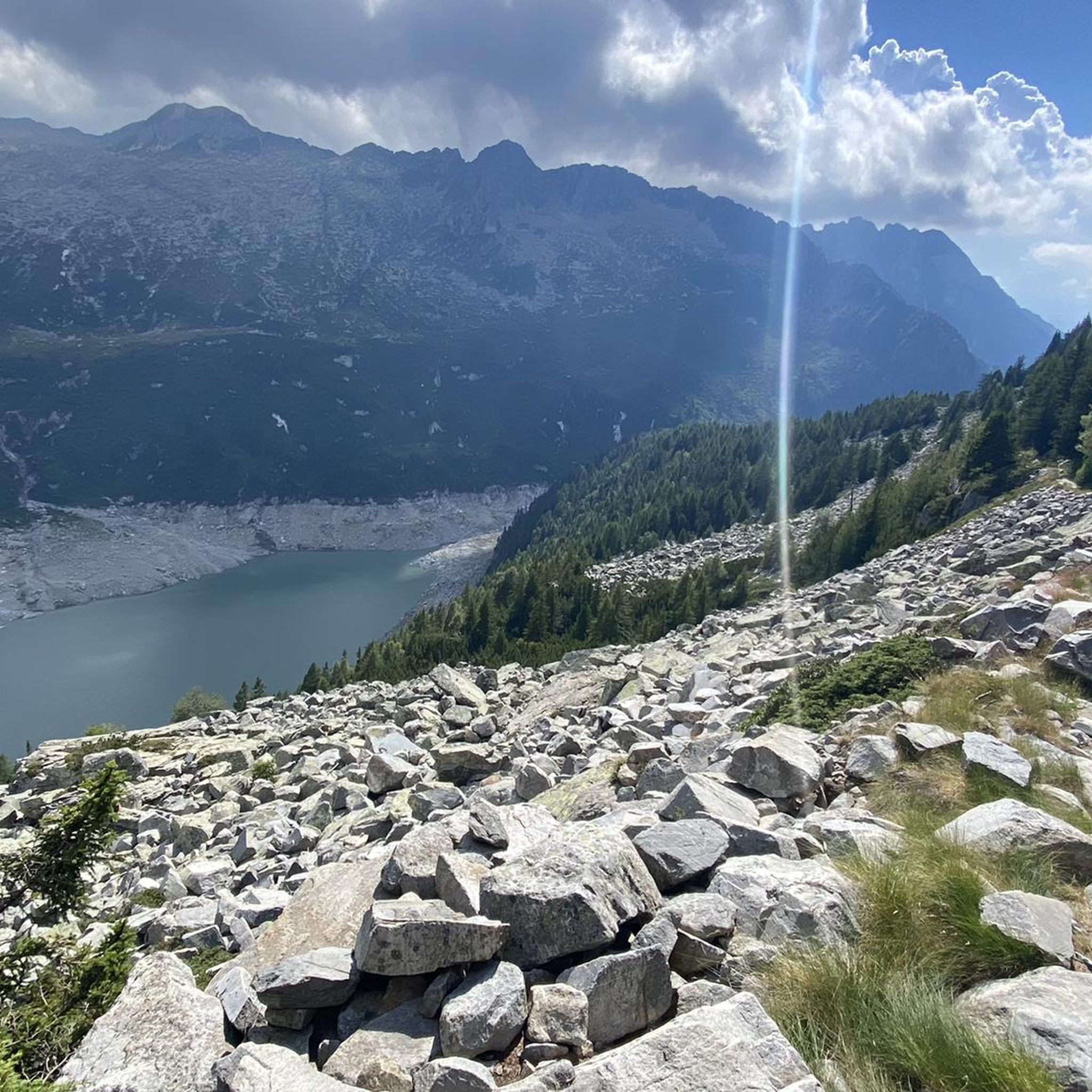
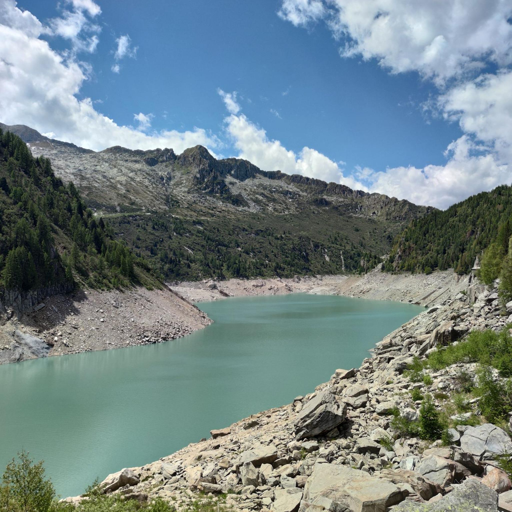
ヴァッカ湖は、アダメッロで最も象徴的な場所の1つです。標高2358mにある人工湖で、氷河の谷に囲まれ、コルノーネ・ディ・ブルモーネに支配され、リーフィジオ・ティータ・セッキの隣にあります。高山を愛する人にとっては、まさに定番です。 🏔️ 主な特徴と概要 標高:海抜2358m 起源:1927年に完成した重力式ダム(高さ17.5m、冠水部87m)で堰き止められた人工湖。 面積:0.256 km²。 環境:アダメッロ山塊の南端にある氷河の谷で、標高2500mを超える山々に囲まれています。 名前:おそらく、ヴァッカ峠(2355m)近くにある牛の形をした岩に由来しています。
0
0
Mount Campioncino (2,102 m) is a panoramic peak in the Bergamo Prealps, located between the Scalve Valley (Bergamo) and the Camonica Valley (Brescia). It is a popular hiking destination for its spectacular views and relative ease of access. 🏔️ Key information Altitude: 2,102 m Starting point: Fondi di Schilpario (BG) or Passo dei Campelli Elevation gain: approximately 850–890 m Difficulty: hiking (E), with easy sections (F) on an unmarked trail Type of route: circular or round trip Duration: 4.5–6 hours total, depending on the route 🌄 View from the summit From the summit, you can enjoy a breathtaking view of: Presolana Cimon della Bagozza Monte Campione Concarena The valleys below: Val di Scalve and Val Camonica 🥾 Recommended itinerary Starting point: Fondi di Schilpario (1,249 m) Route: climb to Passo dei Campelli Monte Campioncino is considered a true balcony overlooking Val Camonica, with a view that it extends as far as Mount Adamello on clear days
0
0
The Campelli Pass is an Alpine pass at approximately 1,892 meters above sea level that connects the Scalve Valley (province of Bergamo) with the Camonica Valley (province of Brescia). It is a popular hiking destination for its scenic beauty and the variety of available itineraries. 🏔️ Main Features Location: Between Schilpario (BG) and Cerveno (BS) Elevation: approximately 1,892 m View: Spectacular view of Cimon della Bagozza and the Piccole Dolomiti Scalvine Access: From Schilpario – Fondi: winter route for snowshoeing or ski mountaineering From Schilpario – Baracca Rossa: shorter and more scenic summer route From Ono San Pietro (BS): longer and more challenging route 🚶♂️ Recommended Activities Summer Hiking: Well-marked trails, also suitable for families Winter Snowshoeing: Safe and picturesque itineraries in the snow Mountain Biking: Technical and scenic routes, with stops at the Campione Refuge and Campelli Lake 📍 Nearby Points of Interest Campione Refuge: Not far from the pass, offers refreshments and overnight accommodations Campelli Lake Campelli: a small Alpine lake, ideal for a break Madonnina dei Campelli: a panoramic and spiritual point along the route
0
0

The entire left bank of Lake Bissina can be cycled along up to the Breguzzo mountain hut, then you have to leave your bike and continue on foot to reach the Val Di Fumo refuge because there is a traffic ban.
1
0

I recommend stopping at the Tita Secchi refuge, Alessandra and Piero and their staff were fantastic, delicious lunch and a family and relaxing atmosphere!!
1
1

Splendid view of Cimon Bagozza, Scalve Valley and Valcamonica
0
2

Simple peak, but spectacular in every season
0
0

komootモバイルアプリでインスピレーションを得よう


さらに探索
これらのガイドで、最高の洞窟を探す範囲を広げましょうCevoでの:
