コルテノゴルジの天然記念物・トップ20
コルテノゴルジが誇る美しい風景を見てみたいなら、コルテノゴルジの素晴らしい天然記念物・トップ20
に行ってみましょう。あなたにぴったりの場所が見つかるよう、素晴らしい天然記念物を探索するために必要なすべての情報を集めました。次のアウトドアの冒険に出かける計画の参考にしましょう。
最終更新日: 10月 15, 2026
カンペッリ峠
ハイライト • 山道
翻訳者 Google •
役立つ情報 は

コンカ・デイ・カンペッリ
ハイライト • 展望台
翻訳者 Google •
役立つ情報 は

今すぐサインアップして、こんな場所を発見しよう
最高のシングルトラック、ピーク、その他のエキサイティングなアウトドアスポットのおすすめを受け取ろう。
ヴォの滝
ハイライト • 滝
翻訳者 Google •
役立つ情報 は

モンテ・カンピオンチーノ
ハイライト • 山頂
翻訳者 Google •
役立つ情報 は

無料アカウントで今日から始めよう
次の冒険が待っています。



コミュニティからのヒント

Mount Campioncino (2,102 m) is a panoramic peak in the Bergamo Prealps, located between the Scalve Valley (Bergamo) and the Camonica Valley (Brescia). It is a popular hiking destination for its spectacular views and relative ease of access. 🏔️ Key information Altitude: 2,102 m Starting point: Fondi di Schilpario (BG) or Passo dei Campelli Elevation gain: approximately 850–890 m Difficulty: hiking (E), with easy sections (F) on an unmarked trail Type of route: circular or round trip Duration: 4.5–6 hours total, depending on the route 🌄 View from the summit From the summit, you can enjoy a breathtaking view of: Presolana Cimon della Bagozza Monte Campione Concarena The valleys below: Val di Scalve and Val Camonica 🥾 Recommended itinerary Starting point: Fondi di Schilpario (1,249 m) Route: climb to Passo dei Campelli Monte Campioncino is considered a true balcony overlooking Val Camonica, with a view that it extends as far as Mount Adamello on clear days
0
0
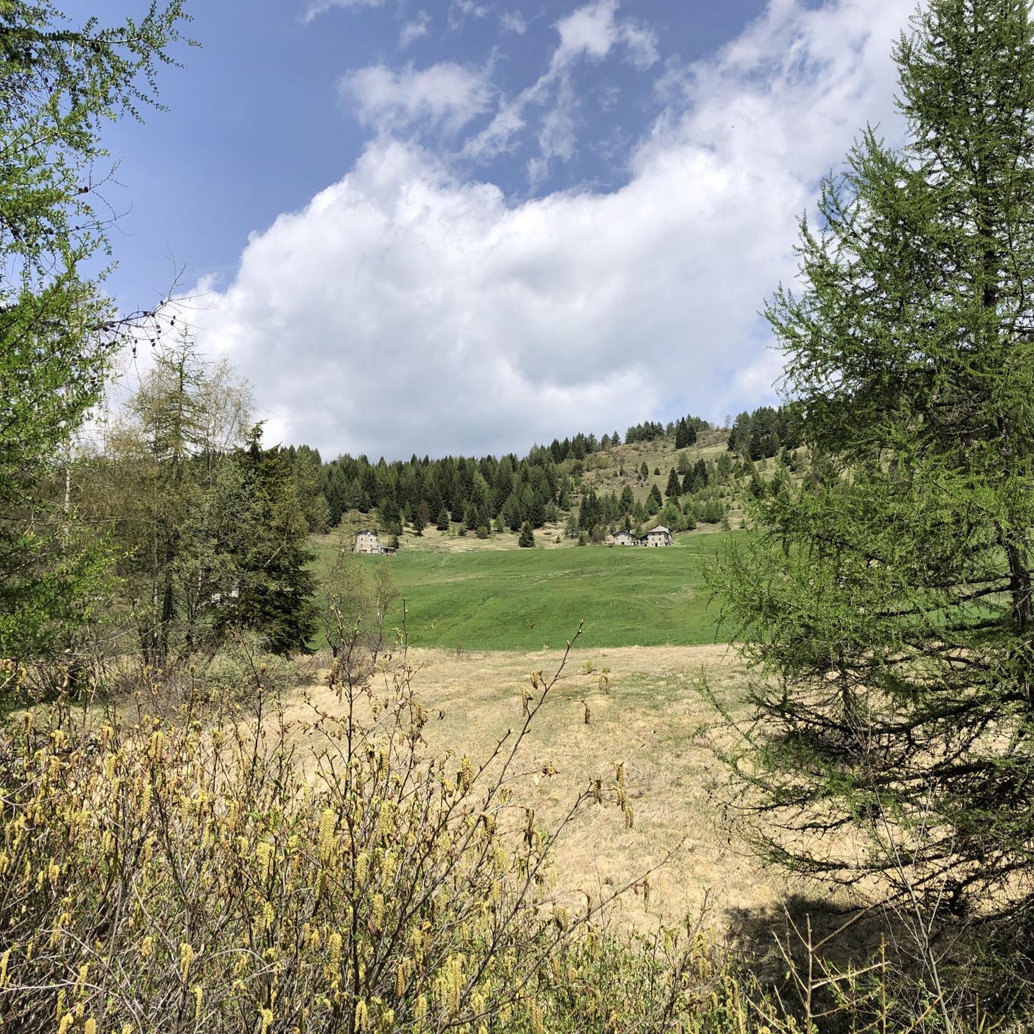
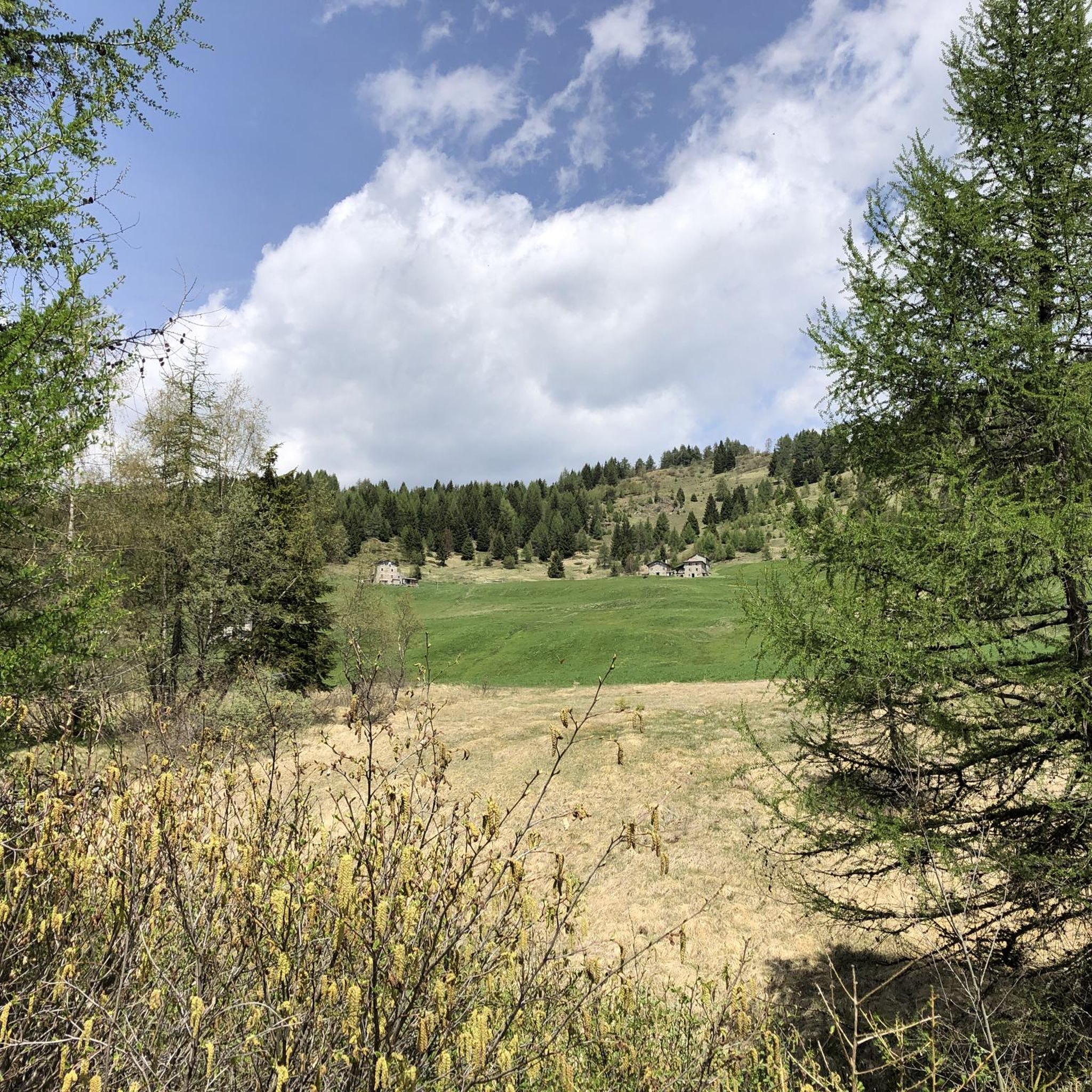
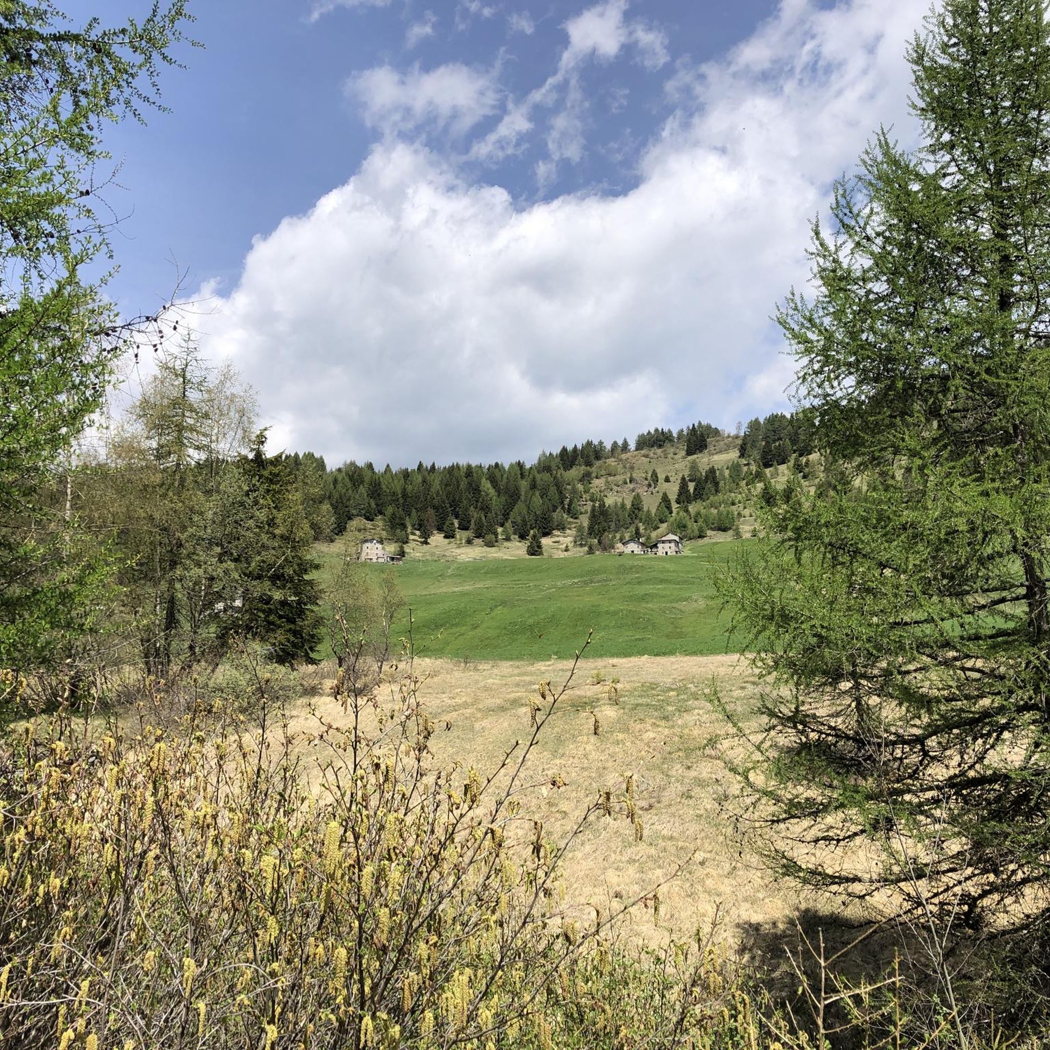
The Conca dei Campelli is a splendid alpine area located in the Scalve Valley, in the province of Bergamo, bordering the Camonica Valley. It is a true natural jewel, perfect for hiking, snowshoeing, and relaxing days immersed in nature. 🏞️ Characteristics of the Conca dei Campelli Altitude: approximately 1,800–1,900 m Main access: from Schilpario, following the signs for the Vivione Pass and then the Campelli Pass View: surrounded by the Piccole Dolomiti Scalvine, with views of Cimon della Bagozza Points of interest: Rifugio Campione: excellent refreshment point and base for hikes Laghetto dei Campelli: small alpine lake, ideal for a break Madonnina dei Campelli: panoramic and spiritual point 🌿 Recommended activities Summer hiking: trails also suitable for families and children Winter snowshoeing: breathtaking snow-covered landscapes, ideal for snow lovers
0
0
The Campelli Pass is an Alpine pass at approximately 1,892 meters above sea level that connects the Scalve Valley (province of Bergamo) with the Camonica Valley (province of Brescia). It is a popular hiking destination for its scenic beauty and the variety of available itineraries. 🏔️ Main Features Location: Between Schilpario (BG) and Cerveno (BS) Elevation: approximately 1,892 m View: Spectacular view of Cimon della Bagozza and the Piccole Dolomiti Scalvine Access: From Schilpario – Fondi: winter route for snowshoeing or ski mountaineering From Schilpario – Baracca Rossa: shorter and more scenic summer route From Ono San Pietro (BS): longer and more challenging route 🚶♂️ Recommended Activities Summer Hiking: Well-marked trails, also suitable for families Winter Snowshoeing: Safe and picturesque itineraries in the snow Mountain Biking: Technical and scenic routes, with stops at the Campione Refuge and Campelli Lake 📍 Nearby Points of Interest Campione Refuge: Not far from the pass, offers refreshments and overnight accommodations Campelli Lake Campelli: a small Alpine lake, ideal for a break Madonnina dei Campelli: a panoramic and spiritual point along the route
0
0


A very picturesque lake, its green water reflecting the nearby mountains. A great place for a short or long stop to take a souvenir photo.
0
0
The Cascate del Vò are a true natural jewel nestled in the Val di Scalve, near Schilpario (BG). It is a series of spectacular waterfalls, immersed in an uncontaminated alpine landscape, perfect for a regenerating trip. 🌊 What makes them special: The water rushes down between the rocks creating a fresh and relaxing atmosphere The path that leads to the waterfalls is also suitable for families and offers breathtaking panoramic views It is a point of passage for those continuing towards the Piana del Vò or the Rifugio Tagliaferri 📍 Where they are: Località La Paghera, 24020 Schilpario (BG)
0
0

walk suitable for everyone, in any season. My children were thrilled with it
0
0

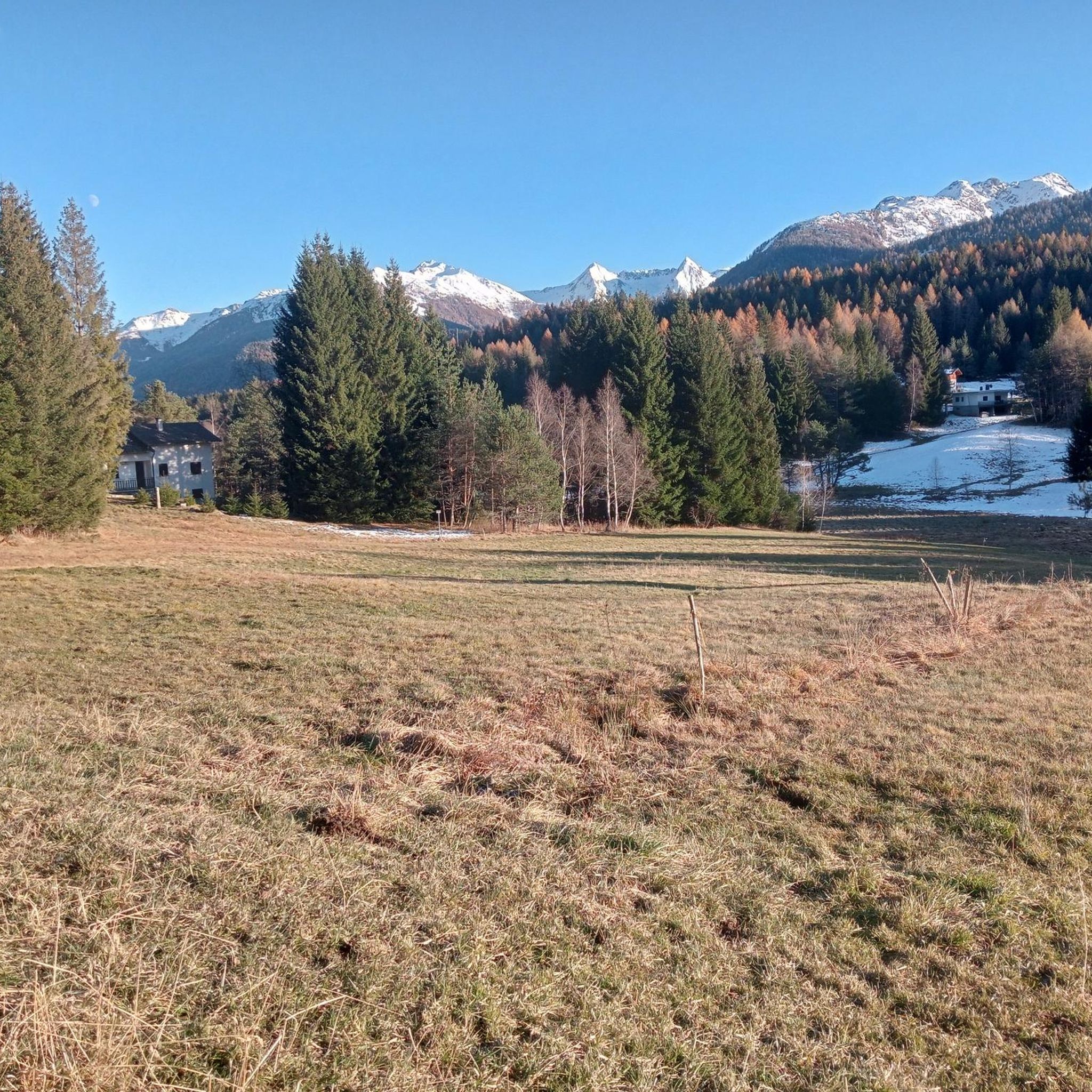
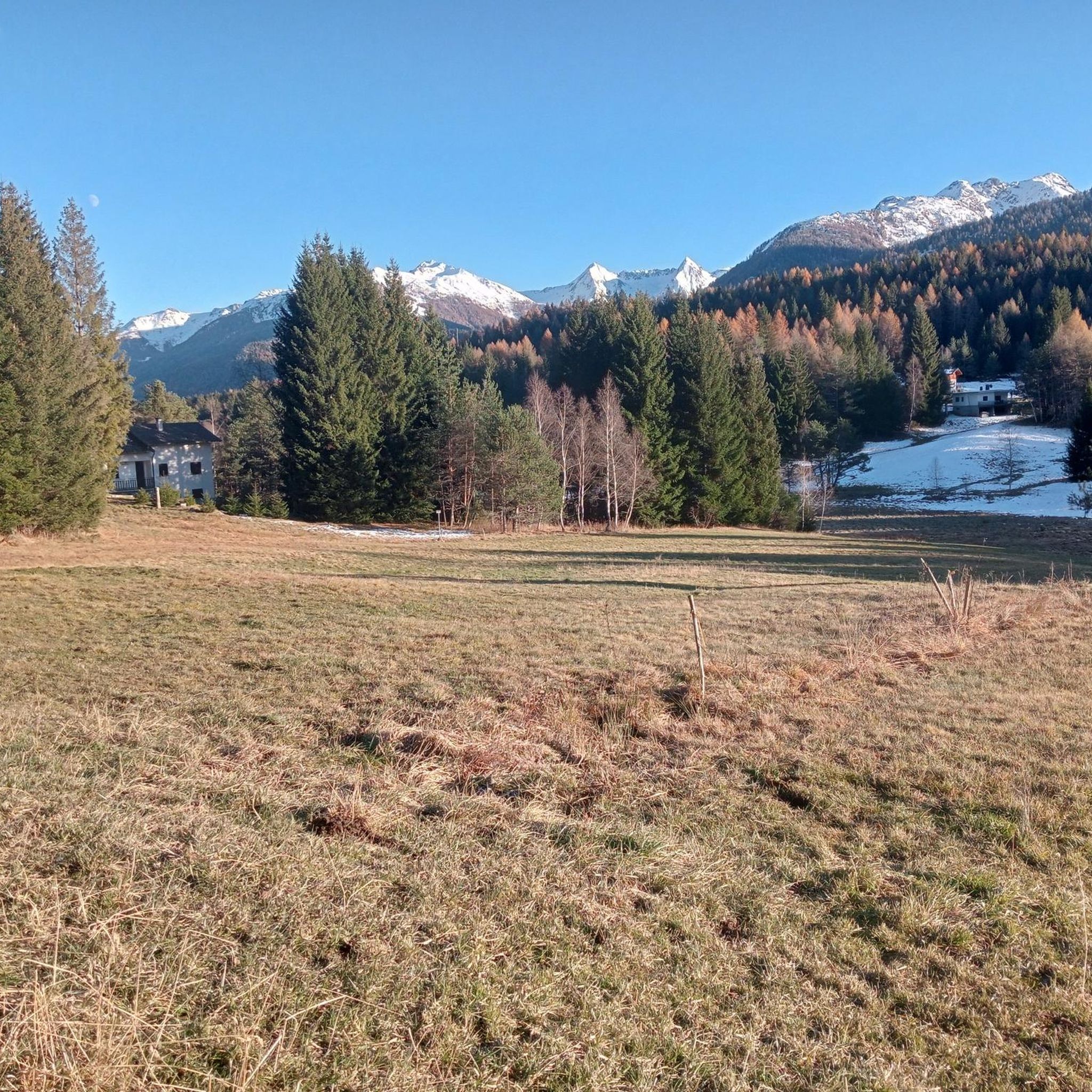
A place with a wonderful panorama, with a fantastic view of the Concarena massif. In autumn, since the sun is low and hides behind the mountain massif, it creates enchanting plays of light and shadow. Easy to reach, it is in fact just a few meters from the Cimon Bagozza refuge, reachable by car. Suitable for everyone, including children and the elderly
0
0
コルテノゴルジでのの人気観光スポット

komootモバイルアプリでインスピレーションを得よう


さらに探索
これらのガイドで、最高の洞窟を探す範囲を広げましょうコルテノゴルジでの:
