バルザーゴの峠・トップ4
Barzago, a municipality in the Province of Lecco, Lombardy, Italy, is located at an elevation of 354 meters above sea level. While Barzago itself does not feature high mountain passes, it serves as a convenient starting point for accessing several notable climbs and passes in the surrounding mountainous region. These routes are popular among cyclists and those seeking scenic views and challenging ascents in the Lombardian landscape.
Barzago周辺の最高の峠
- 最も人気のある峠はモンテ・コルニッツォーロ・ロードで、最初はかなりの勾配がある坂道の峠です。この自転車には厳しいルートは、ブリアンツァの景色を提供します。
- もう一つの必見スポットはエウピリオからのモンテ・コルニッツォーロへの登りで、長さ7km強、平均勾配約10%の登りです。ブリアンツァ地域で最も挑戦的で景色の良い登りの一つとして認識されています。
- 訪問者はグリニャ山脈の眺めも気に入っています。これは湖上を走る景色と周囲の風景を提供する展望台です。この地域は、勾配が17%を超える区間もある挑戦的な登りで知られています。
- Barzagoは、挑戦的な登り、景色の良いトレイル、展望台を含む様々な峠で知られています。この地域は、様々なレベルのアウトドアアクティビティに対応する、探索できる多様なルートを提供しています。
- Barzago周辺の峠は、komootコミュニティによって高く評価されており、訪問者から23件の「いいね」と20件の写真が寄せられています。
最終更新日: 8月 22, 2026
エウピリオからモンテ・コルニッツォーロへの登り
ハイライト (セグメント) • 登山
翻訳者 Google •
役立つ情報 は

エルバからマドンナ・デル・ギザッロへの登り
ハイライト (セグメント) • 登山
翻訳者 Google •
役立つ情報 は

今すぐサインアップして、こんな場所を発見しよう
最高のシングルトラック、ピーク、その他のエキサイティングなアウトドアスポットのおすすめを受け取ろう。
無料新規登録
グリーニャ山脈の眺め
ハイライト • 展望台
翻訳者 Google •
役立つ情報 は

モンテマレンツォからの眺め
ハイライト • 展望台
翻訳者 Google •
役立つ情報 は

SP639
ハイライト (セグメント) • 山道
翻訳者 Google •
役立つ情報 は

無料アカウントで今日から始めよう
次の冒険が待っています。
ログインまたは登録
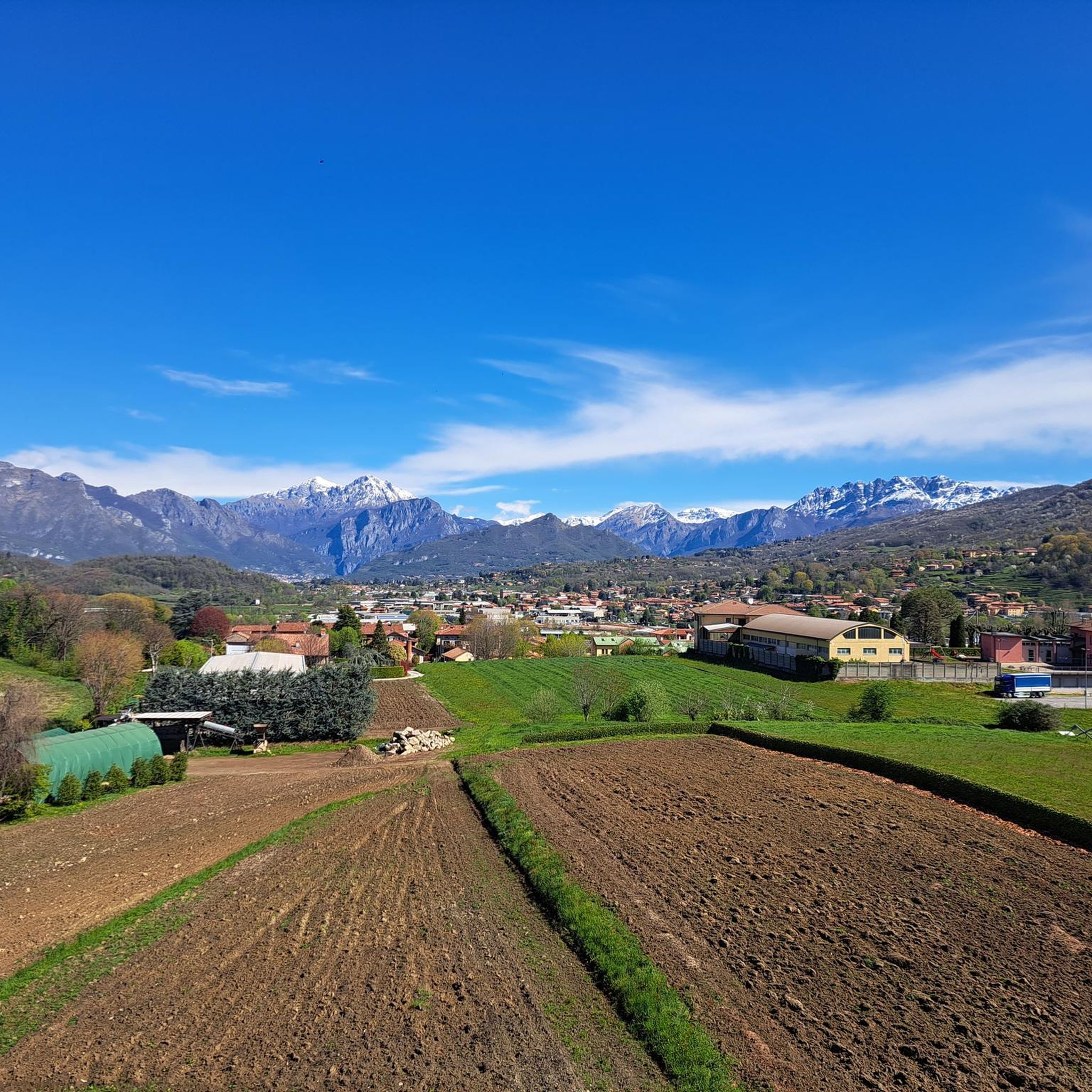
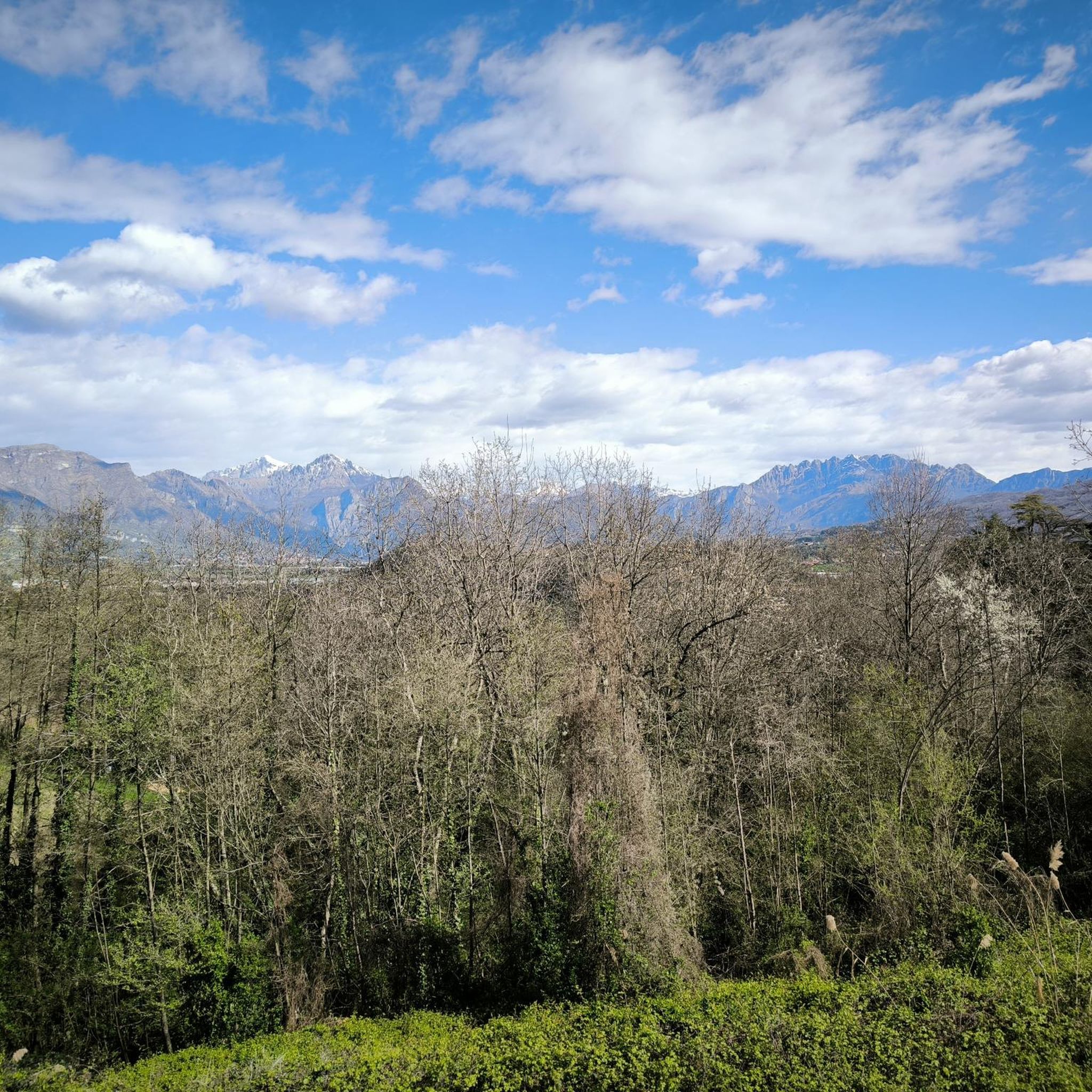

コミュニティからのヒント

Epic, historic climb. Twin of the harder climb to the Madonna del Ghisallo from Bellagio, more suitable for those who have just started. Short, but can hide several pitfalls especially in the final stretch.
0
0

The climb to the Madonna del Ghisallo starting from the Erba area is an alternative to the classic side from Bellagio. It is about 16 kilometers long with a difference in altitude of over 500 meters. The route passes through Canzo and Asso, partly following the Valassina, before the last stretch towards the famous cyclists' sanctuary.
1
0

The little church of Santa Margherita is the starting point of some Trails that lead towards the locality Le Donne di Torre de Busi or towards the valley of San Gregorio and then continue on the Pope's path
0
0


the climb to Cornizzolo is tough, so do it calmly and carefully. Halfway through, you may find the bars closed and having to put your foot on the ground in order to pass them. During the weekends, the vans that carry paragliding athletes aloft can be dangerous, not only due to the narrow road but above all due to their cheerful driving. Beyond this, pedestrians and other cyclists in difficulty can create problems. The descent must be done very, very carefully, paying attention to the slopes but above all to the spillways. There is a risk of tipping over. The panorama at the top is worth the effort. 🔥🏋️🚴🏋️🔥
1
0
It starts from Baranzate and then follows the trail of a more experienced friend. Nice ride. The Curone Valley, a MTB paradise, an interesting discovery. Climb sometimes, very tough. The cycle computer scored me + 17%
0
0

Nice ride on the lake what I deserve is all the landscape around
1
0
よくある質問
バルツァーゴからアクセスできる景色の良い峠にはどのようなものがありますか?
バルツァーゴ周辺の地域には、いくつかの景色の良い峠があります。エウピリオからのモンテ・コルニッツォーロへの登りは、コモ湖、プジアーノ湖、アンノーネ湖、ガルラーテ湖の素晴らしい眺めが特に有名です。もう一つの美しい選択肢はモンテ・コルニッツォーロ通りで、こちらもブリアンツァ地方の息をのむような景色を楽しめます。
近くに歴史的に重要な峠や登りはありますか?
はい、エルバからのマドンナ・デル・ギザッロへの登りは、サイクリングコミュニティで名高い、クラシックで歴史的な登りです。カ ンツォやアッソのような町を通り抜け、サイクリストに捧げられた有名な聖域へと続いています。
これらの峠ではどのような困難が予想されますか?
この地域の多くの峠は、厳しい勾配で知られています。例えば、エウピリオからのモンテ・コルニッツォーロへの登りは7km強の長さで平均勾配は約10%と、ブリアンツァで最も困難な登りの一つです。ソルマーノ峠(Colma di Sormano)は、ハイライトには詳しく記載されていませんが、「ソルマーノの壁(Muro di Sormano)」として知られる非常に急なセクションでも有名です。
これらの峠の近くでどのようなアウトドアアクティビティができますか?
峠自体を探索する以外にも、バルツァーゴ周辺の地域は様々なアウトドアアクティビティに最適です。数多くのMTBトレイル、ロードサイクリングルート、そしてランニングトレイルを見つけることができます。例えば、クーローネ渓谷はMTBの楽園と考えられています。
周囲の景色のパノラマビューを提供する展望台はありますか?
もちろんです。エウピリオからのモンテ・コルニッツォーロへの登りからアクセスできるモンテ・コルニッツォーロの頂上からは、コモ湖、プジアーノ湖、アンノーネ湖、ガルラーテ湖を含むいくつかの湖の素晴らしいパノラマビューが楽しめます。さらに、グリニャ山脈の眺めやモンテマレンツォからの眺めも、景色の良い場所として人気があります。
バルツァーゴ周辺の山道(峠)を訪れるのに最適な時期はいつですか?
バルツァーゴ周辺の山道(峠)は、一般的に春、夏、初秋が最適です。この時期は天候が穏やかで、サイクリング、ハイキング、パノラマビューを楽しむのに理想的なコンディションとなります。冬には雪や氷が発生し、特にサイクリングでは一部のルートが困難になったり、アクセスできなくなったりする可能性があります。
初心者向けの、より簡単な山道(峠)ルートはありますか?
この地域には難しい登りが数多くありますが、ベッラージョからのより困難なルートと比較すると、エルバからのマドンナ・デル・ギザッロへの登りは、このような登りに比較的慣れていない方により適していると考えられています。それでもかなりの標高差がありますが、体力のある初心者でも管理可能です。
これらの山道(峠)を下るときに注意すべきことは何ですか?
モンテ・コルニッツォーロのような厳しい峠からの下りには、最大限の注意が必要です。訪問者からのヒントによると、斜面や水路に注意して非常に慎重に行う必要があり、転倒のリスクがあります。また、特に週末には、ハンググライダーのバン、歩行者、サイクリストなどの他の利用者にも注意してください。
バルツァーゴの山道(峠)の近くに、自然の見どころや公園はありますか?
この地域は豊かな自然美に恵まれています。峠そのもの以外にも、屋外アクティビティで人気のコルマ・ディ・ソルマノやコレ・ディ・バリージオのような自然の見どころがあります。多くの場合、コモ湖、プジアーノ湖、アンノーネ湖、ガルラーテ湖などの複数の湖を見渡すことができ、自然の魅力が増しています。
モンテマレンツォのような展望台から始まるトレイルはどのようなものがありますか?
モンテマレンツォからの眺め、特にサンタ・マルゲリータ教会の近くからは、様々なトレイルにアクセスできます。これらはレ・ドンネ・ディ・トッレ・デ・ブージのような地域や、サン・グレゴリオの谷へと続き、教皇の道(Pope's path)へと至り、多様なハイキングの機会を提供しています。

komootモバイルアプリでインスピレーションを得よう


さらに探索
これらのガイドでさらに壮大な山道を見てみましょうバルザーゴでの:
