ルート

プランナー

機能

アップデート

App

ログインまたはサインアップ

アプリを入手

ログインまたはサインアップ

ログインまたはサインアップ

ルート
Places to see
Natural Monuments
イタリア
ロンバルディア
ベルガモ

セレテ

セレテの天然記念物・トップ20

Cerete周辺の最高の自然記念物は、主にコロンビア北部のコルドバ県のシヌー川流域の生態系に関連しています。この地域は、熱帯乾燥林と広大な湿地帯を特徴とする農業景観と河岸環境によって特徴づけられます。これらの自然の特徴は、Cereteのアイデンティティに不可欠であり、地域の生物多様性と環境保全の重要性についての洞察を提供します。現在進行中の保全活動は、これらの地域に焦点を当てています。

最終更新日: 5月 16, 2026

ピッツォ・フォルミコ山頂

ハイライト • 山頂

Pizzo Formico dominates the Farno basin, above Gandino on the south side and the Clusone plateau on the north side. Very popular in winter by cross-country skiers, it offers, from …

翻訳者 Google •

役立つ情報

によるものです

ここでのハイキングを見る

スマートフォンに送信

保存

サヴィーナ礼拝堂

ハイライト • 宗教的な場所

Reaching the Savina chapel is not difficult on a technical level but for untrained people it can be physically difficult. In the summer period it is necessary to pay attention …

翻訳者 Google •

役立つ情報

によるものです

保存

今すぐサインアップして、こんな場所を発見しよう

最高のシングルトラック、ピーク、その他のエキサイティングなアウトドアスポットのおすすめを受け取ろう。

無料新規登録

バイア・デル・ボグン

ハイライト • ビーチ

Great view of the steep cliffs.

翻訳者 Google •

役立つ情報

によるものです

保存

パッソ・デッリ・アニェッリ

ハイライト • 山道

The Agnelli pass is a beautiful panoramic point located at 1,950 meters above sea level, under the steep walls of the southern side of Presolana. It can be easily reached from the Rino Olmo refuge.

翻訳者 Google •

役立つ情報

によるものです

保存

牧人の十字架

ハイライト • 記念碑

Panoramic point at an altitude of 1250m, a few tens of meters from the “Dante Baroncelli” bivouac. Beautiful view over the towns of Val Gandino

翻訳者 Google •

役立つ情報

によるものです

保存

無料でサインアップして、さらに多くの自然記念物を発見しましょう セレテでの。

無料新規登録

すでにアカウントをお持ちですか?

無料アカウントで今日から始めよう

次の冒険が待っています。
ログインまたは登録

セレテ周辺で人気

セレテのロードバイクルート

セレテでののグラベルライド

セレテのMTBトレイル

セレテのランニングコース

セレテでのサイクリング

セレテでのハイキング

セレテでの登山&山歩き

コミュニティからのヒント

Ziobike 🇮🇹
8月 29, 2025, Croce dei Pastori

The pyramid located near the Cross serves as a shelter for food and necessities (privately owned)

Google翻訳による翻訳

1

0

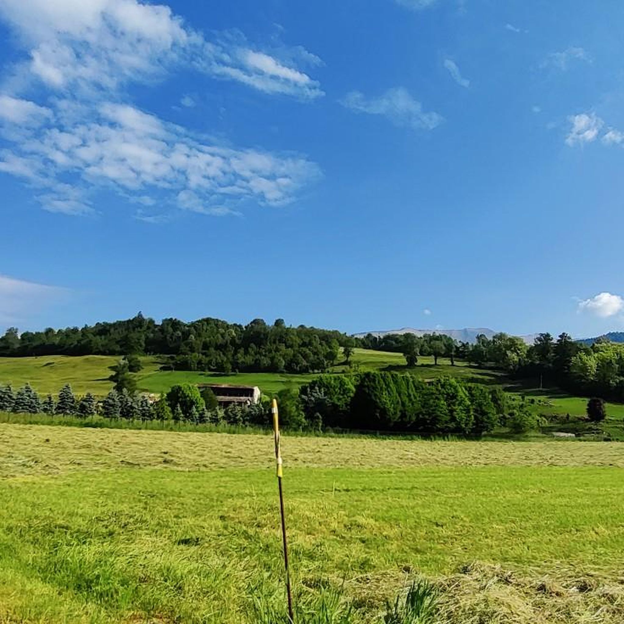
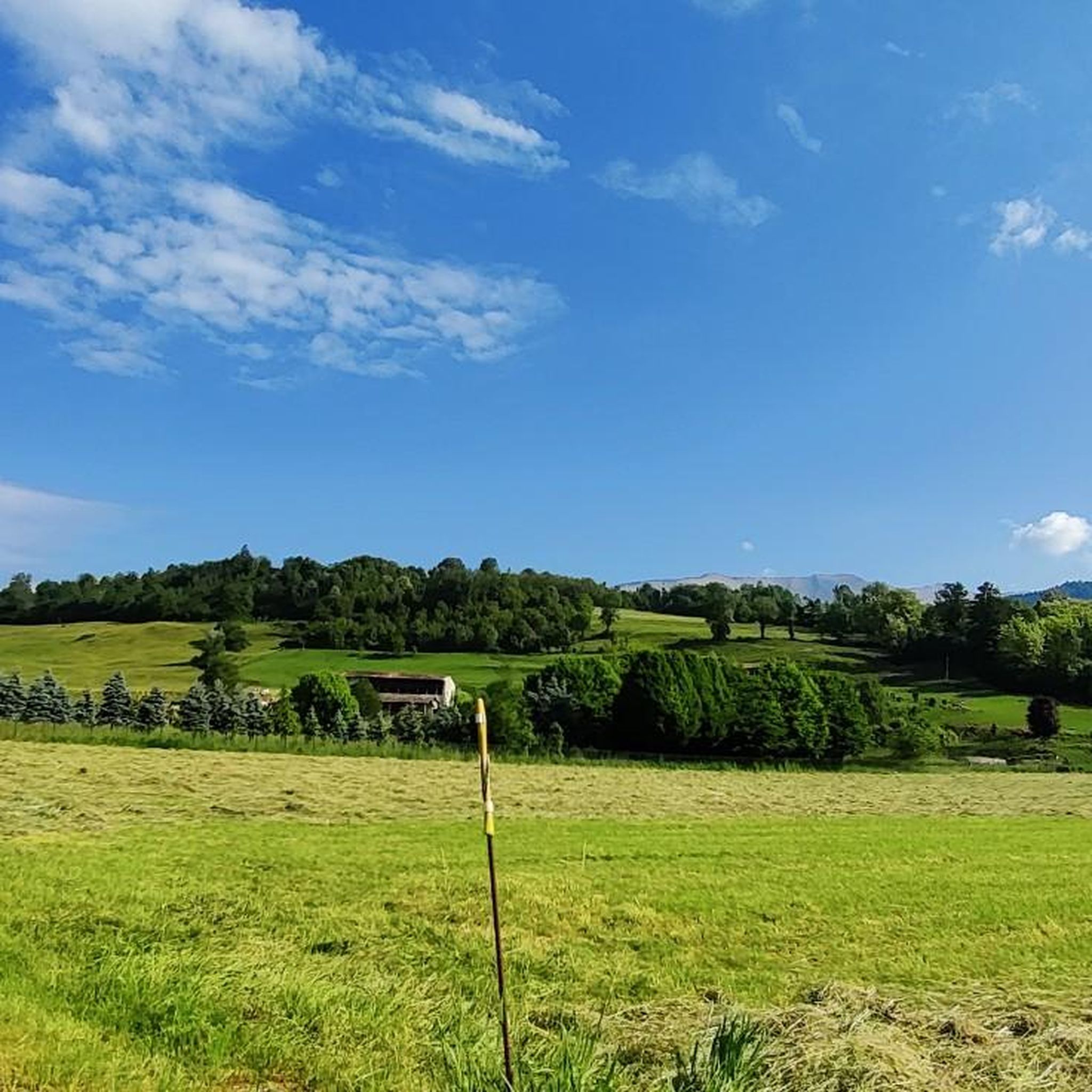
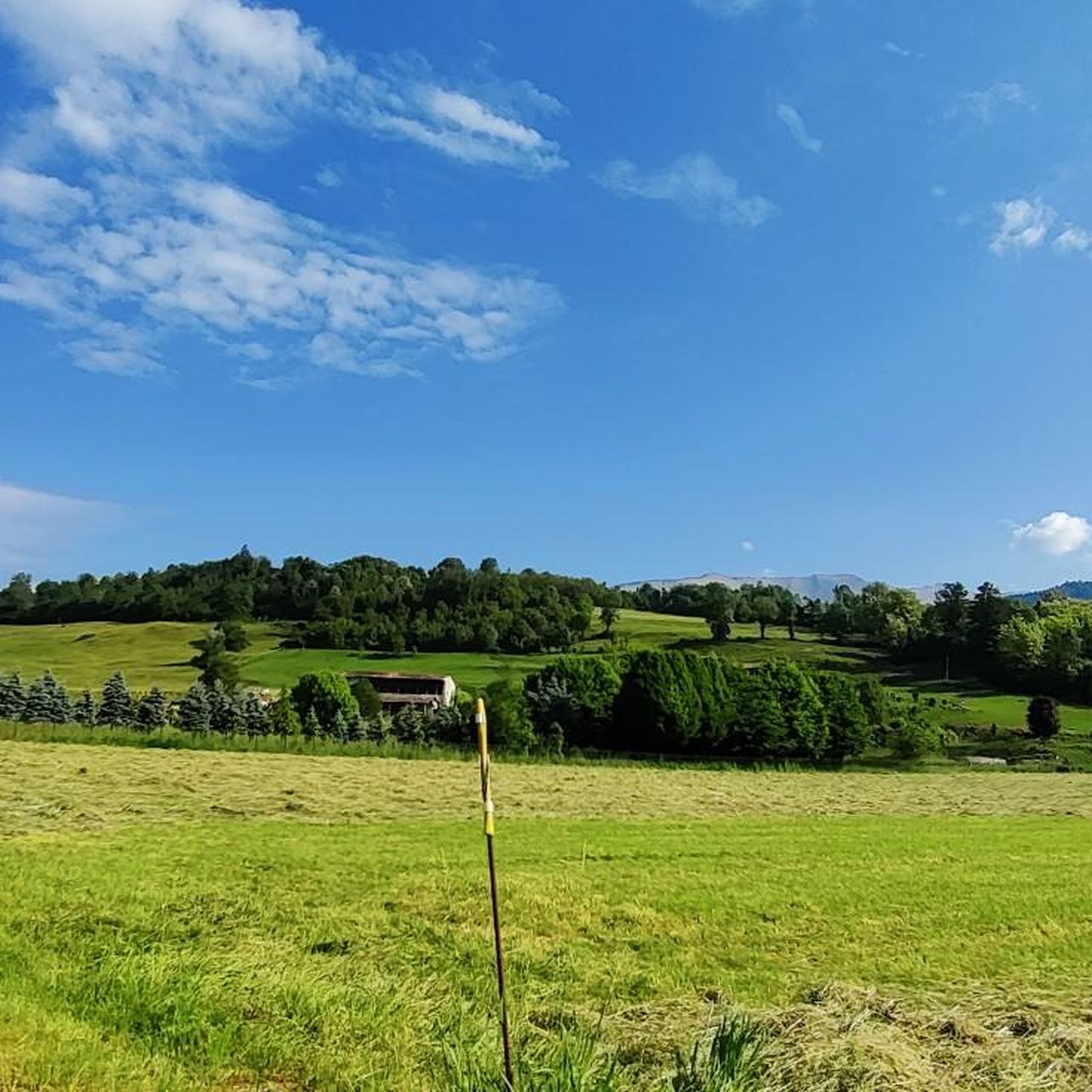
panoramic view of the Gandino valley.

Google翻訳による翻訳

0

0

Passo degli Agnelli is located at 1950 meters above sea level, under the steep walls of the southern slope of Presolana. It is a spectacular panoramic point, easily reachable from Rifugio Rino Olmo. The hike to the pass offers splendid views of the surrounding mountains and can be part of a circular tour that includes Valle dei Mulini, Passo Olone and Rifugio Olmo. The trail crosses scree and woods, offering an immersive experience in the nature of the Bergamo Orobie

Google翻訳による翻訳

0

0

Luca
5月 25, 2025, Croce dei Pastori

Very panoramic position, with a view over the entire Val Gandino.

Google翻訳による翻訳

0

0

From Pizzo Formico (1636 m) you can enjoy a spectacular view of the Bergamo Prealps, the Seriana Valley, the Gandino Valley and, on clear days, even Monviso. What you can see from the summit: Val Seriana and the Clusone plateau. Val Gandino, with its historic villages. Presolana, the "Queen of the Orobie". Lake Iseo, visible on clear days. Adamello Group, the Bergamo and Lecco Orobie. Po Valley, with glimpses of the Apennines. The summit cross, 12 meters high, is a point of reference for hikers and is illuminated on special occasions

Google翻訳による翻訳

1

0

The Croce dei Pastori is a panoramic point located at 1250 meters above sea level in the Gandino Valley, near the Dante Baroncelli Bivouac. It is a large wooden cross, positioned on the edge of a slope, with a spectacular view of the valley2. Main features: Altitude: 1250 m. Location: Along the path that leads to the Conca del Farno. History: The original cross was placed in 1716 and subsequently replaced in 2002. Panorama: Direct view of the Gandino Valley and the surrounding mountains. Access: Reachable with an excursion from Barzizza di Gandino, passing through the Tribulina della Guazza. The Croce dei Pastori is a perfect place for a break during an excursion, with benches and tables for refreshments. If you wait for sunset, you can enjoy a unique spectacle with the lights of the villages in the valley that slowly light up

Google翻訳による翻訳

0

0

The Dante Baroncelli Bivouac is located at 1257 meters above sea level in the Groaro Valley, near the Tribulina della Guazza and the Croce dei Pastori, from which you can enjoy a spectacular view of the Gandino Valley. Main features: Altitude: 1257 m Location: Groaro Valley, near the Tribulina della Guazza Access: Reachable via the CAI 545 path Structure: Small but welcoming, with well-kept interiors Recommended route: Departure from the Conca del Farno, following the CAI 545 path The bivouac is an excellent stopping point for hikers heading to Pizzo Formico or the Rifugio Parafulmine

Google翻訳による翻訳

0

0

Good panoramic point, near a bivouac. On the way to reach the Parafulmine refuge.

Google翻訳による翻訳

1

0

セレテでのの人気ルート

セレテのロードバイクルート

セレテでのの人気観光スポット

Places to see

Store rating

komootモバイルアプリでインスピレーションを得よう

無料のkomootアカウントがあれば、無限のアウトドアコースを簡単に見つけてカスタマイズし、ナビで案内できます。

または

今すぐkomootに参加しよう

Store rating

さらに探索

これらのガイドで、最高の洞窟を探す範囲を広げましょうセレテでの:

アルデージオグロモガンデッリーノロンコベッロヴァルゴーリオブランツィイーゾラ・ディ・フォンドラオルトレッセンダアルタヴァルボンディオーネプレーモロパッレオネタレナゴルノカロナオルトレ・イル・コレセリーナヴァッレーヴェフォッポロソルト・コッリーナピアッツァトッレMoio De'Calviガザニーガコルツァーテヴィラドグナヴァルブレンビッラヴェルトヴァブルマノガンディーノヴァルトルタドッセーナサンジョヴァンニビアンコロヴェッタコルナルバゾーニョリーヴァ・ディ・ソルトカズニーゴコスタセリーナスキルパーリオアルグアヴェデゼータアヴィアーティコアッツォーネピアッツォーロサンペッレグリーノテルメクルゾネソブレアルビノヴァルネグラピアッツァブレンバナネンブロセルヴィーノフォンテーノブラッカウビアーレ・クラネッツォヴィルミノーレディスカルブピアーニコサントモボーノテルメセネブレッロフィオラーノアルセリオロータ・ディマーニャタレッジョポンテノッサコレレメッツォルドフイピアーノヴァッレイマーニャエンディネガイアーノサンタブリギダオルニーカアルツァーノロンバルドオルモアルブレンボポンテラーニカカッシーリオボッシコフィーノデルモンテタヴェルノラ・ベルガマスカカスティオーネデラプレソラナセドリーナクージオパルツァーニカカプリーノ・ベルガマスココルナ・イマーニャソンガヴァッツォロカテッロロベレベルベンノスカンツォロシャートプラダルンガカストロコスタヴァッレイマーニャコスタ・ヴォルピーノCamerata Cornelloソリーゾレアベララピアーリオロンコラカッツァーノサンタンドレアベドゥリータヴィラディセリオラーニカトッレ・ボルドーネランツァニーコオノレチェナーテソプラチザーノベルガマスコレフヴィラダルメカピッツォーネゴールアルメカザッツァアルメンノサンサルヴァトーレビアンツァーノガヴェリーナテルメストロッツァローニョプレドーレペイアアドラーラサンロッコヴィーゴロパラッツァーゴカルヴィコアルメンノサンバルトロメオチェナーテ・ソットヴィラダッダモナステローロデルカステッロソット・イル・モンテ・ジョヴァンニXxiiiポンティーダスピノーネアルラーゴパラディーナトッレ・デ・ロヴェリアドラーラサンマルティーノセリアテペドレンゴフォレスト・スパルソバルザーナトレスコーレバルネアリオカルスコダッダヴィッロンゴボルゴ・ディ・テルゾルッツァーナアルバーノサンタレッサンドロサルニコヴィアダーニカヴァルブレンボクレダログローンアンビーヴェレブレンバーテディソプラモッツォマペッロヴィガーノサンマルティーノサンパオロダルゴンポンテサンピエトロベルツォサンフェルモソルツァブルザポルトボナーテソプラメドラーゴテルノ・ディーゾラオリオアルセリオザンドッビオスイージオプレゼッツォクルノキニョーロディソラエントラーティコトレヴィオーロステッツァーノボッタヌーコボナーテ・ソットザーニカフィラーゴコムーン・ヌオーヴォダルミネゴルラーゴポニャーノウルニャーノトレビリオヴェルデッリーノヴェルデッロオシオソプラスピラーノカラヴァッジョカプリアーテサンゲルバシオブリニャーノゲラダッダブレンバーテアッツァーノサンパオロマドンレヴァーテガンドッソオシオ・ソットチゼラーノファーラ・ジェーラ・ダッダグラッソッビオポンティローロヌオーヴォカノーニカ・ダッダアルチェネカステル・ロッツォーネルラーノボルティエーレフォルノーヴォサンジョバンニカルヴェンツァーノカロッビオデッリアンジェリラッリオパガッツァーノコローニョアルセリオミザーノ・ディ・ゲラ・ダダバニャーティカカステッリ・カレピオモンテッロモッツァーニカバリアーノモレンゴアルツァーゴ・ダッダカジラーテ・ダダコスタディメザテ一そうバルバータギサルバファラオリバナコンソラマルティネンゴロマーノディロンバルディアグルメッロデルモンテキウドゥーノPiàコッリディベルガモdell'AddaNord自然公園アンテニャーテフォンタネッラカヴェルナーゴ

近くのアドベンチャーガイド

ソブレでやるべきこと

background

新しいピークを征服する準備をしよう

無料でサインアップ

探検する
ルートルートプランナー機能ハイキングMTBトレイルロードバイクルートバイクパッキングサイトマップ
アプリをダウンロード
SNSでフォローする

© komoot GmbH

プライバシーポリシー