ゴルノの天然記念物・トップ20
ゴルノが誇る美しい風景を見てみたいなら、ゴルノの素晴らしい天然記念物・トップ20
に行ってみましょう。あなたにぴったりの場所が見つかるよう、素晴らしい天然記念物を探索するために必要なすべての情報を集めました。次のアウトドアの冒険に出かける計画の参考にしましょう。
最終更新日: 8月 22, 2026
ピッツォ・フォルミコ山頂
ハイライト • 山頂
翻訳者 Google •
役立つ情報 は

ブランキーノ峠
ハイライト • 山道
翻訳者 Google •
役立つ情報 は

今すぐサインアップして、こんな場所を発見しよう
最高のシングルトラック、ピーク、その他のエキサイティングなアウトドアスポットのおすすめを受け取ろう。
無料新規登録
グレム山頂
ハイライト • 山頂
翻訳者 Google •
役立つ情報 は

モンテ・アルベン山頂
ハイライト • 山頂
翻訳者 Google •
役立つ情報 は
サングイーニョ川の滝
ハイライト • 滝
翻訳者 Google •
役立つ情報 は

無料でサインアップして、さらに多くの自然記念物を発見しましょう ゴルノでの。
無料新規登録
すでにアカウントをお持ちですか?
無料アカウントで今日から始めよう
次の冒険が待っています。
ログインまたは登録

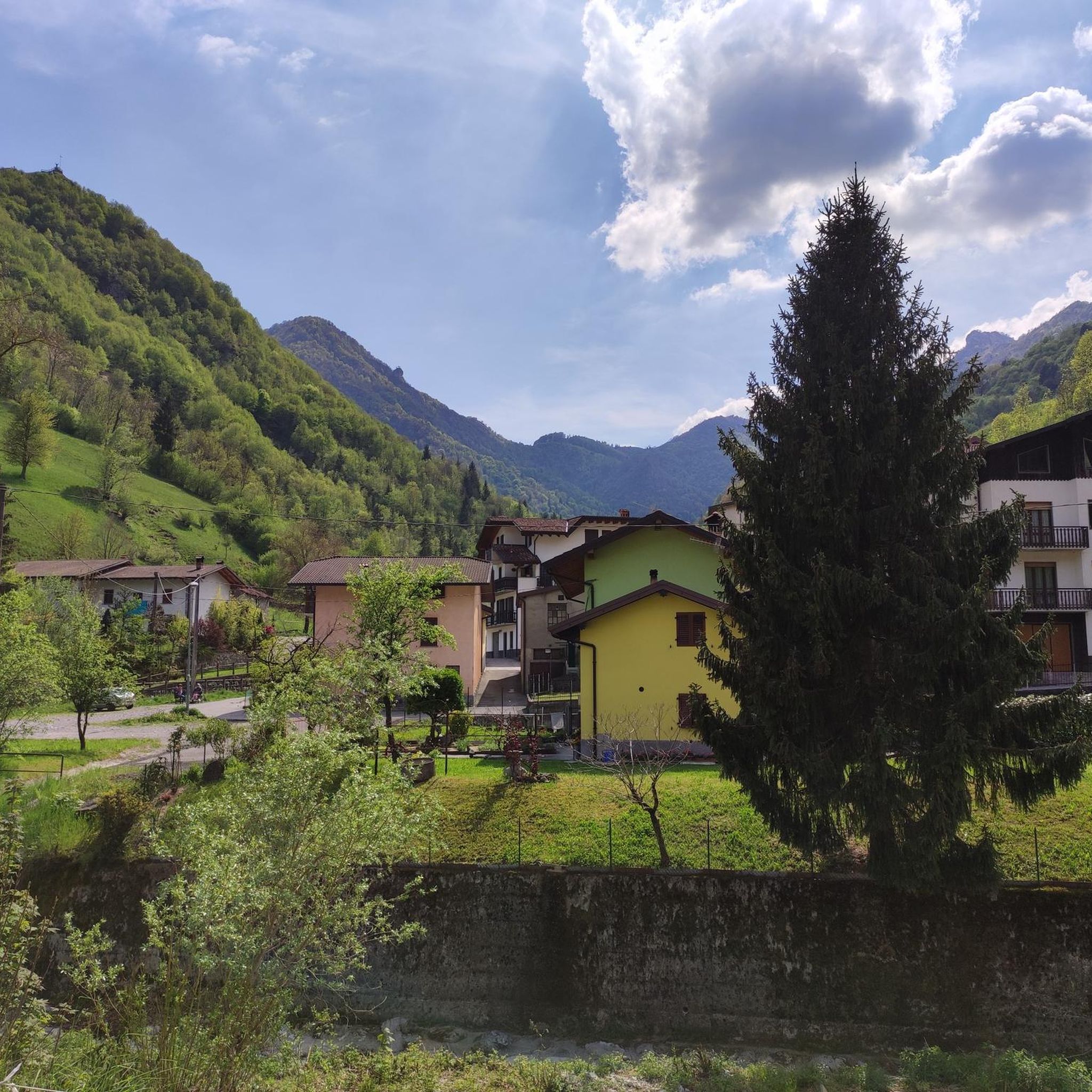

コミュニティからのヒント


Today Sanguigno Stream Waterfalls Show more The Sanguigno Stream waterfalls are one of the most evocative natural spectacles in the Sanguigno Valley, above Valgoglio (BG). A sequence of waterfalls and crystal-clear pools that line the trail surrounded by greenery, making the valley a true paradise for hikers and nature lovers. 🌊 Main features Unique environment: The Sanguigno Valley is considered the oasis with the highest biodiversity in the Orobie Bergamasche Park. Waterfalls and natural pools: The stream cascades, forming transparent pools of green and blue. Wild atmosphere: The water tumbles over waterfalls, rests in crystal-clear lakes, and flows through peat bogs and shady woods. Accessibility: The starting point is the Aviasco power plant (965 m), accessible by car from Valgoglio. From there, the trail follows the stream and its waterfalls to the Gianpace Refuge. 🚶♂️ Hiking itinerary Start: Valgoglio (929 m), with parking at the Aviasco power plant (ticket required). Route: The trail follows the Sanguigno stream, passing through woods and clearings, with constant glimpses of the waterfalls. Intermediate stop: Rifugio Gianpace (1331 m), an excellent refreshment point and observation point for the waterfalls. Duration: Approximately 2 hours' walk to the refuge, with moderate elevation gain.
0
0
The waterfalls of the Sanguigno River are one of the most evocative natural spectacles in the Sanguigno Valley, above Valgoglio (BG). A sequence of waterfalls and crystal-clear pools line the trail, immersed in greenery, making the valley a true paradise for hikers and nature lovers. 🌊 Main features Unique environment: The Sanguigno Valley is considered the oasis with the highest biodiversity in the Orobie Bergamasche Park. Waterfalls and natural pools: The stream cascades, forming transparent pools of green and blue. Wild atmosphere: The water tumbles over waterfalls, rests in crystal-clear lakes, and flows through peat bogs and shady woods. Accessibility: The starting point is the Aviasco power plant (965 m), accessible by car from Valgoglio. From there, the trail follows the stream and its waterfalls to the Gianpace Refuge. 🚶♂️ Hiking itinerary Start: Valgoglio (929 m), with parking at the Aviasco power plant (ticket required). Route: The trail follows the Sanguigno stream, passing through woods and clearings, with constant glimpses of the waterfalls. Intermediate stop: Rifugio Gianpace (1331 m), an excellent refreshment point and observation point for the waterfalls. Duration: Approximately 2 hours' walk to the refuge, with moderate elevation gain.
0
0

halfway along the circular route from Plassa on the Arera flower trail
1
1

A cross located on the summit of Mount Alben, truly beautiful to reach on foot from the Creste. There's also a mountain rose from which to admire and search for the visible peaks.
0
0
The summit of Alben, truly beautiful to reach after the ridge! The view is worth it, and there's a mountain rose and a cross from which to take beautiful photos.
0
0


Fascinating waterfalls, varied in shape and size. They create a sound (which we mistakenly call noise) that allows you to forget your worries, and I dare say it's therapeutic. The trail to reach them is easy, but be careful not to slip due to the constant humidity.
2
0

komootモバイルアプリでインスピレーションを得よう


さらに探索
これらのガイドで、最高の洞窟を探す範囲を広げましょうゴルノでの:
