マルティニャーノの天然記念物・トップ8
マルティニャーノが誇る美しい風景を見てみたいなら、マルティニャーノの素晴らしい天然記念物・トップ8
に行ってみましょう。あなたにぴったりの場所が見つかるよう、素晴らしい天然記念物を探索するために必要なすべての情報を集めました。次のアウトドアの冒険に出かける計画の参考にしましょう。
最終更新日: 10月 15, 2026
ゴレ・デル・サリネッロ
ハイライト • 峡谷
The Salinello river has created a deep gorge between the Twin Mountains.
翻訳者 Google •
役立つ情報 は

ジレッラ山
ハイライト • 山頂
ripartiredaistieri.cai.it/sentieri/san-giacomo-monte-girella
翻訳者 Google •
役立つ情報 は

今すぐサインアップして、こんな場所を発見しよう
最高のシングルトラック、ピーク、その他のエキサイティングなアウトドアスポットのおすすめを受け取ろう。
サンタ・アンジェロ洞窟
ハイライト • 洞窟
The …
翻訳者 Google •
役立つ情報 は
トリトーネ・クレスタートの小さな池
ハイライト • 湖
翻訳者 Google •
役立つ情報 は

ピアノーロ・ディ・コッレ・サン・マルコ
ハイライト • 展望台
翻訳者 Google •
役立つ情報 は

無料でサインアップして、さらに多くの自然記念物を発見しましょう マルティニャーノでの。
すでにアカウントをお持ちですか?
無料アカウントで今日から始めよう
次の冒険が待っています。
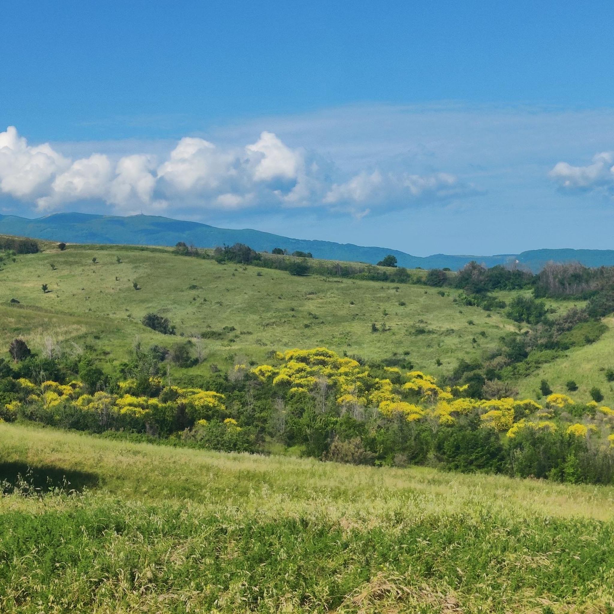
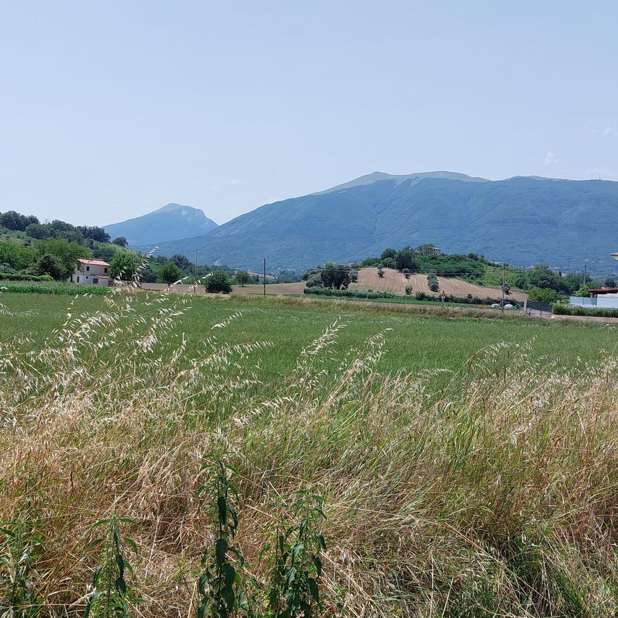
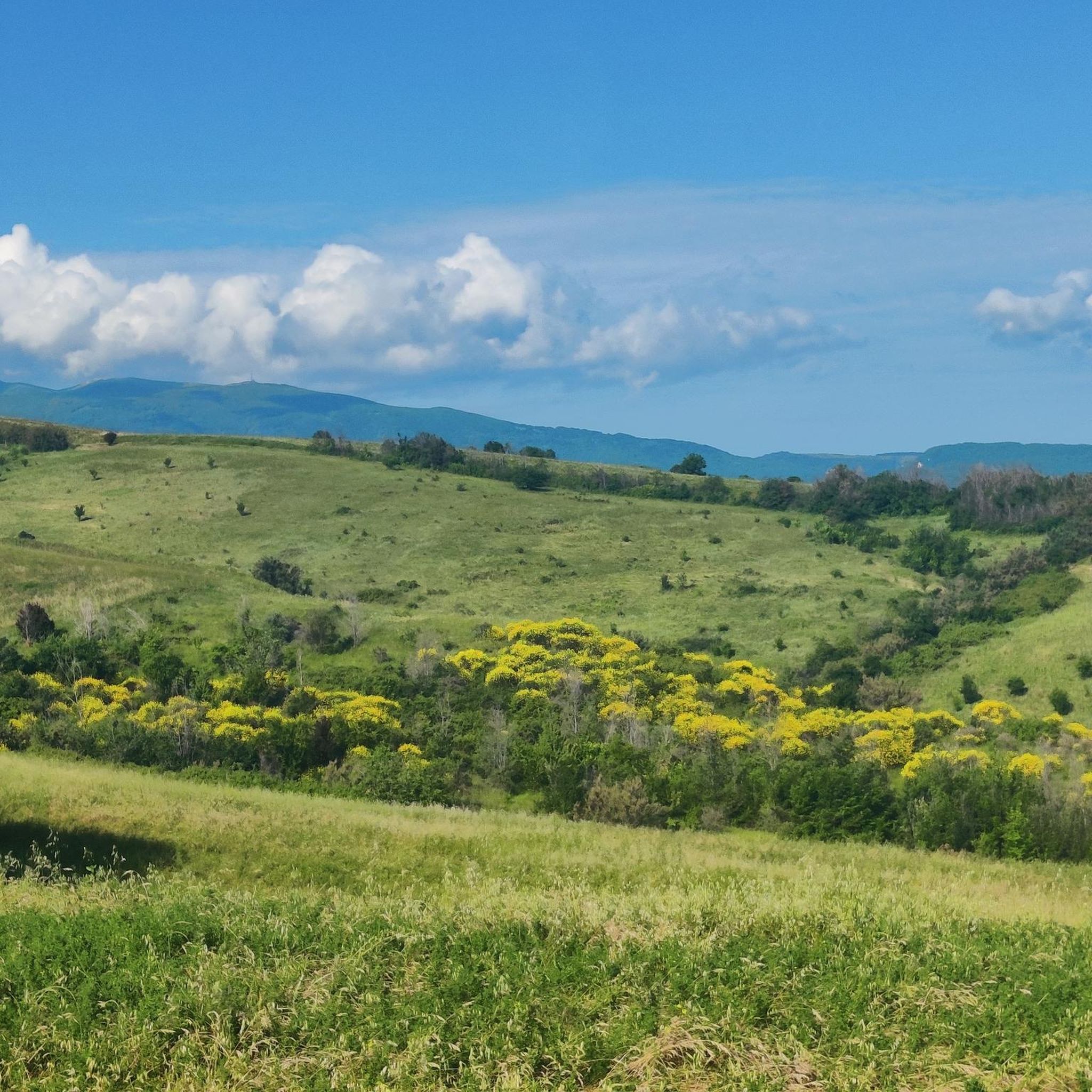
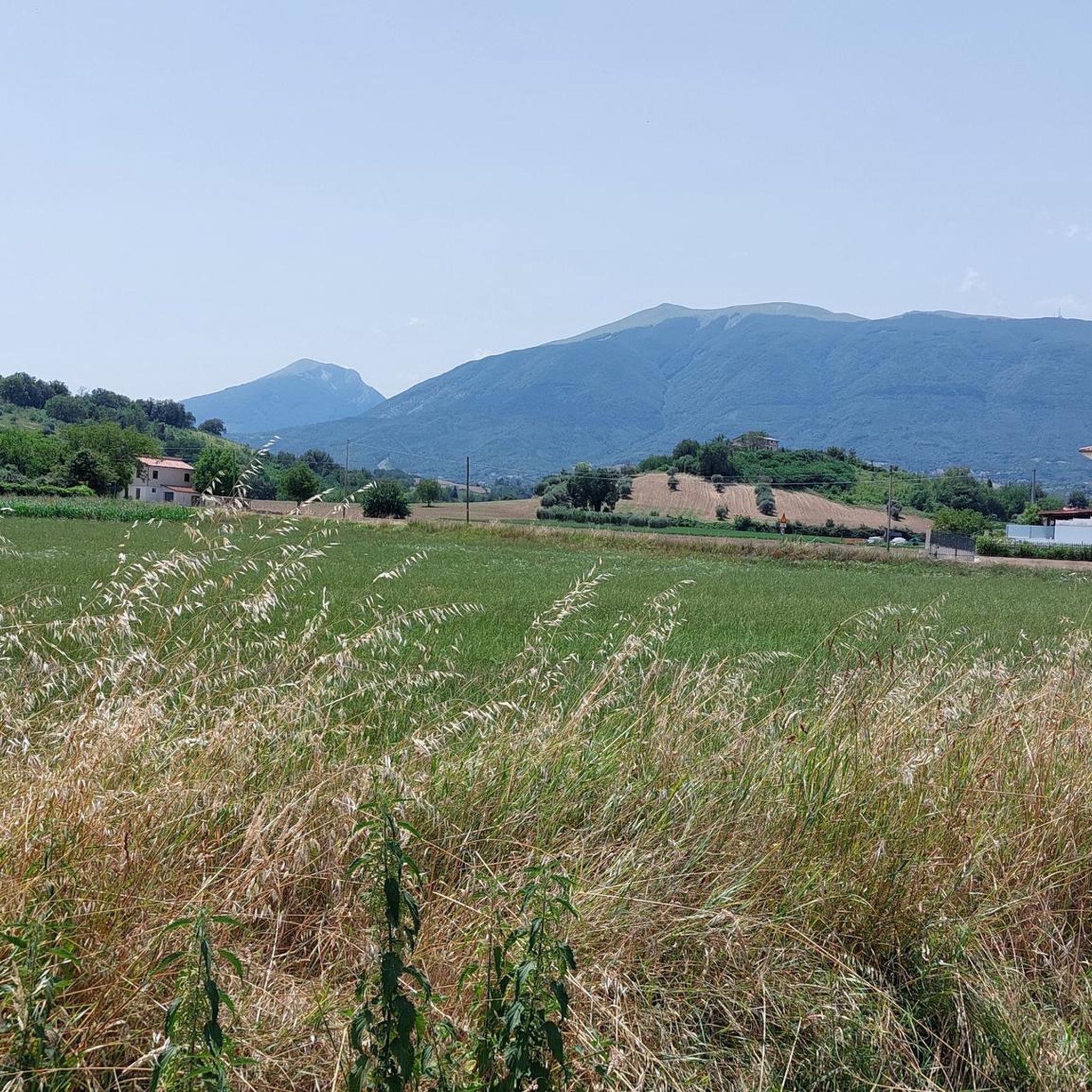

コミュニティからのヒント

リパ・アルタの整備されたエリアから始まるトレッキングで、駐車場、噴水、キオスクバー、ピクニックテーブルがあります。道の最初の部分は非常に険しく、日差しからの遮蔽がありません。その後、森に入ります。道は川に沿って進みますが、夏の間は完全に干上がっています(2025年8月)。いくつかの地点で道から外れて川床に入り、双子の山の岩壁に沿って進むことができます。この道は危険とされていますが、実際には夏の間は10歳以上の子供でも容易に歩くことができます。川が流れている時期は、そこへ踏み込むのがより危険になる可能性があります。
0
0


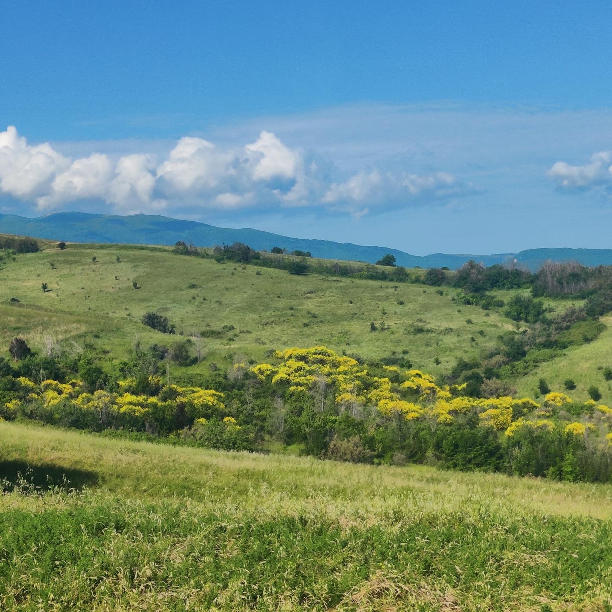
Monte Girella is the top of the Montagna dei fiori. You can climb to the top via an easy path starting from the Monte Piselli ski lifts in the San Giacomo area. From the top, on clear days you can see the Adriatic coast up to Conero, the Gran Sasso and Sibillini mountains. It is beautiful to observe the nearby Montagna di Campli.
2
0

The Gole del Salinello are located in Abruzzo, within the Gran Sasso and Monti della Laga National Park. The Salinello river has created a deep gorge between the Twin Mountains.
2
0
The Grotta di Sant'Angelo, in the heart of the Montagna dei Fiori, is one of the most interesting rock cavities of the Italian prehistory of the Monti della Laga. The hermitage cave opens at the beginning of the path that leads to the Salinello gorges.
2
0

Once known as Ascoli Mountain, Monte Girella offers panoramic views from its altitude of 1800 metres. From here the mountain ranges of the Sibillini, Laga and Gran Sasso are visible. https://ripartiredaistieri.cai.it/sentieri/san-giacomo-monte-girella/
4
0
Nice little lake near San Giacomo. Being seasonal, it is not always found in this place. http://www.luoghidelsilenzio.it/abruzzo/01_conoscere/00012/index.htm#:~:text=The%20laghetto%20%C3%A8%20full%20of,surface%20only%20to%20take%20air.
0
0
マルティニャーノでのの人気観光スポット

komootモバイルアプリでインスピレーションを得よう


さらに探索
これらのガイドで、最高の洞窟を探す範囲を広げましょうマルティニャーノでの:
