プラジェラートの天然記念物・トップ20
プラジェラートが誇る美しい風景を見てみたいなら、プラジェラートの素晴らしい天然記念物・トップ20
に行ってみましょう。あなたにぴったりの場所が見つかるよう、素晴らしい天然記念物を探索するために必要なすべての情報を集めました。次のアウトドアの冒険に出かける計画の参考にしましょう。
最終更新日: 7月 25, 2026
ストラーダ・デッラ・アッシエッタとコッレ・デッラ・アッシエッタ(2472m)
ハイライト (セグメント) • 山道
翻訳者 Google •
役立つ情報 は

ラウックス湖
ハイライト • 湖
On its banks it is possible to walk or stop for a break after a hike or a bike ride
翻訳者 Google •
役立つ情報 は

今すぐサインアップして、こんな場所を発見しよう
最高のシングルトラック、ピーク、その他のエキサイティングなアウトドアスポットのおすすめを受け取ろう。
無料新規登録
コル・ブレジエ
ハイライト • 山道
翻訳者 Google •
役立つ情報 は

13湖高原(ピアン・デイ・13・ラーギ)
ハイライト (セグメント) • 湖
翻訳者 Google •
役立つ情報 は

ストラーダ・デッラ・アッシエッタ
ハイライト • トレイル
翻訳者 Google •
役立つ情報 は

無料でサインアップして、さらに多くの自然記念物を発見しましょう プラジェラートでの。
無料新規登録
すでにアカウントをお持ちですか?
無料アカウントで今日から始めよう
次の冒険が待っています。
ログインまたは登録


コミュニティからのヒント


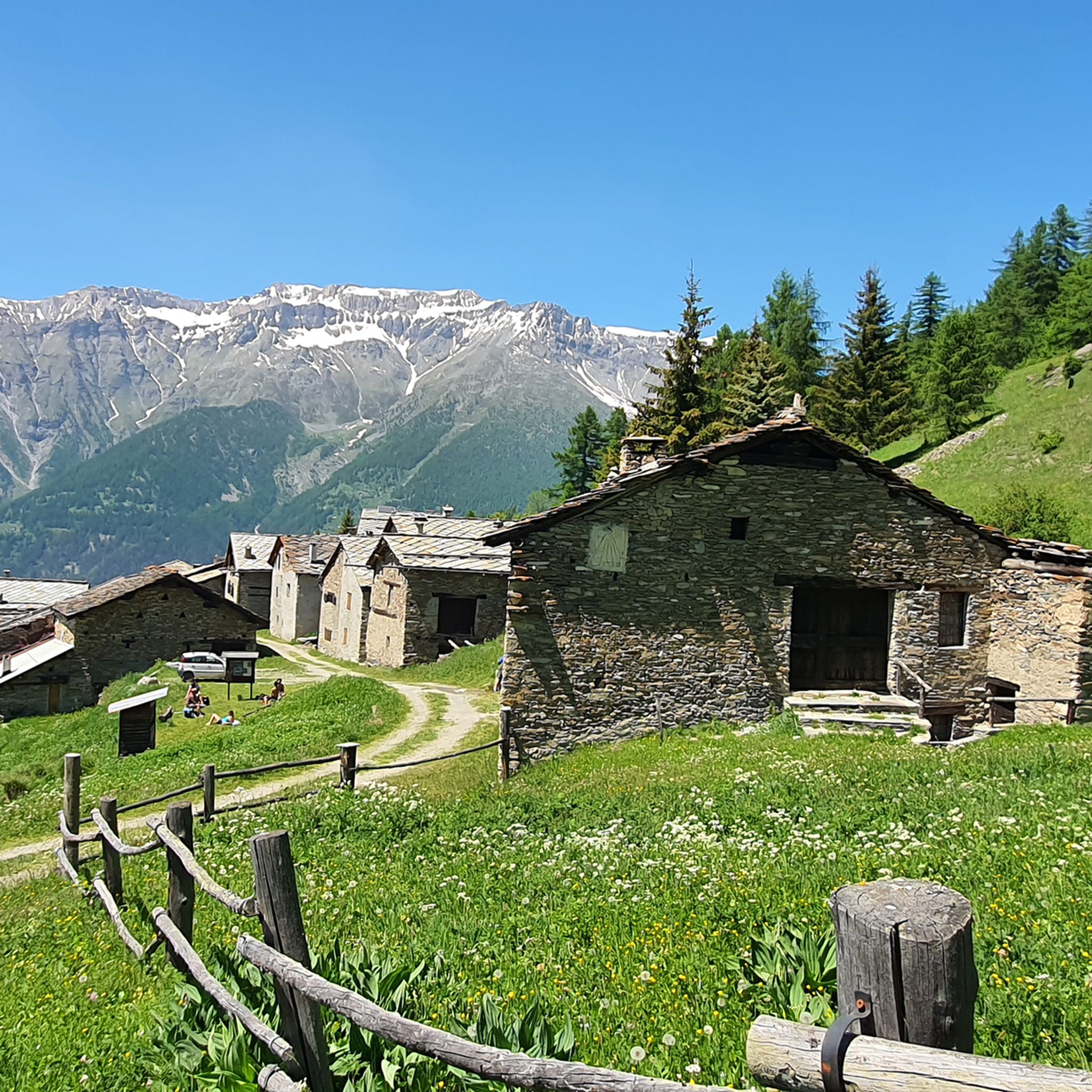
この丘は、モンフォルから登る際に特に評価されるべきです。なぜなら、キゾーネ谷を見渡す素晴らしいパノラマビューポイントを提供するからです。緩やかな勾配のため、特に自転車で走る場合に非常に快適な、長いトラバースの終わりに到着します。その一方で、アセッタ通りという美しい高山道路を走る、ほとんどが外国人のオフロード車のかなりの交通量があります。峠の手前で、道沿いの多くの小川を利用して、必ず補給してください。なぜなら、峠を過ぎると、セストリエーレ方面へ向かう場合でも、アセッタ方面へ向かう場合でも、ほとんど水は見つかりません...そして、ほこりも多いです!もう一つの推奨事項:雷雨が脅威となる場合は、このルートを避けてください。避難場所がなく、落雷の危険性が高いです!
0
0

one of the many hills along the military road
0
0

excellent trip with the possibility of loops
0
0

A beautiful circular hike. Beware, however, of the misleading two-hour indication! Messner might be able to manage it. If you're a regular hiker, no less than three hours or more... WARNING: Once you reach Lake Cannoni or Ramella, if you suffer from vertigo, do not follow the signs for trail A on the right. There are exposed sections, and one section is equipped with a damaged rope. Turn left and you will rejoin the outward route at the level of the early 1900s forts.
1
0

Comfortable footwear for mostly soft terrain
0
0

Former military road almost completely unpaved, located along the mountain ridge that separates the Val di Susa from the Val Chisone. From Pian dell'Alpe to Sestriere you travel 30 km admiring suggestive landscapes both on one valley and on the other
2
1

A hill that goes up a forest road, sometimes rocky, goes up through the heart of the Great Forest in the Parco Naturale della Gran Bosco di Salbertrand (Natural Park of the Great Forest of Salbertrand) to the Col Blegier (pass). Because it is a forest road, the trail is not technically difficult, but there is 640 m (2,100 ft) of climbing in this 7.7 km
0
0
プラジェラートでのの人気観光スポット

komootモバイルアプリでインスピレーションを得よう


さらに探索
これらのガイドで、最高の洞窟を探す範囲を広げましょうプラジェラートでの:
