ペッリッツァーノのバイクパーク・トップ19
ペッリッツァーノには思いっきり楽しめるバイクパークがいくつもあります。komootコミュニティのメンバーが投稿したハイライトのコレクションを参考に、素晴らしいバイクパークのトレイルを満喫するアドベンチャーに出かけましょう。クリックするだけでバイクパークのマップと体験者からの情報を確認でき、次の冒険の参考にすることができます。
最終更新日: 9月 4, 2026
パッソ・デイ・コントラバンディエーリ
ハイライト • 山道
翻訳者 Google •
役立つ情報 は

リフージョ・ソランダー
ハイライト • 山小屋
翻訳者 Google •
役立つ情報 は

今すぐサインアップして、こんな場所を発見しよう
最高のシングルトラック、ピーク、その他のエキサイティングなアウトドアスポットのおすすめを受け取ろう。
ドス・デル・サビオン山頂
ハイライト • 山頂
翻訳者 Google •
役立つ情報 は

オーストリア軍用道路
ハイライト (セグメント) • トレイル
翻訳者 Google •
役立つ情報 は

トレンテ・ノーチェ沿いの子ども向けMTBトレイル
ハイライト • MTBパーク
翻訳者 Google •
役立つ情報 は

無料でサインアップして、さらに多くのバイクパークを発見しましょう ペッリッツァーノでの。
すでにアカウントをお持ちですか?
無料アカウントで今日から始めよう
次の冒険が待っています。



コミュニティからのヒント

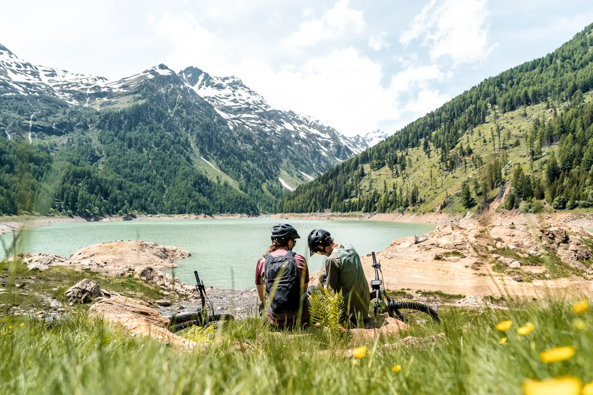
コントラバンディエーリ峠は、標高2,681メートルのアルプス峠で、トレンティーノ(ヴェルミリオ市)とロンバルディア(ポンテ・ディ・レニョ市)を結び、ステルヴィオ国立公園の南端に位置しています。 この峠は夏のハイキングに最適な場所で、北にはオルティレス・チェベダーレ群、南にはアダメッロ・プレサネッラ群まで広がるパノラマビューを楽しめます。 出発点:トナーレ峠(オスピツィオ・サン・バルトロメオ地区)。 未舗装路をマルガ・ヴァルビオロ(2,244 m)まで登ります。夏の間はリフトを利用して歩行距離を短縮することも可能です。マルガからは、最後の急で岩の多い区間を経て峠に直接続くCAIトレイル111号線に入ります。 トナーレからの総標高差は約740メートルで、登りだけで平均2時間20分かかります。 難易度:ハイキング(E)。技術的な難易度はありませんが、最後の急勾配のため疲労が伴います。登山靴の使用を強くお勧めします。
1
0

...This winter refuge, serving the scientific facilities, is a midway point for Mount Vigo and a transit point for various paths and gravel roads leading to the refuges at higher altitudes or in the valley.
0
0

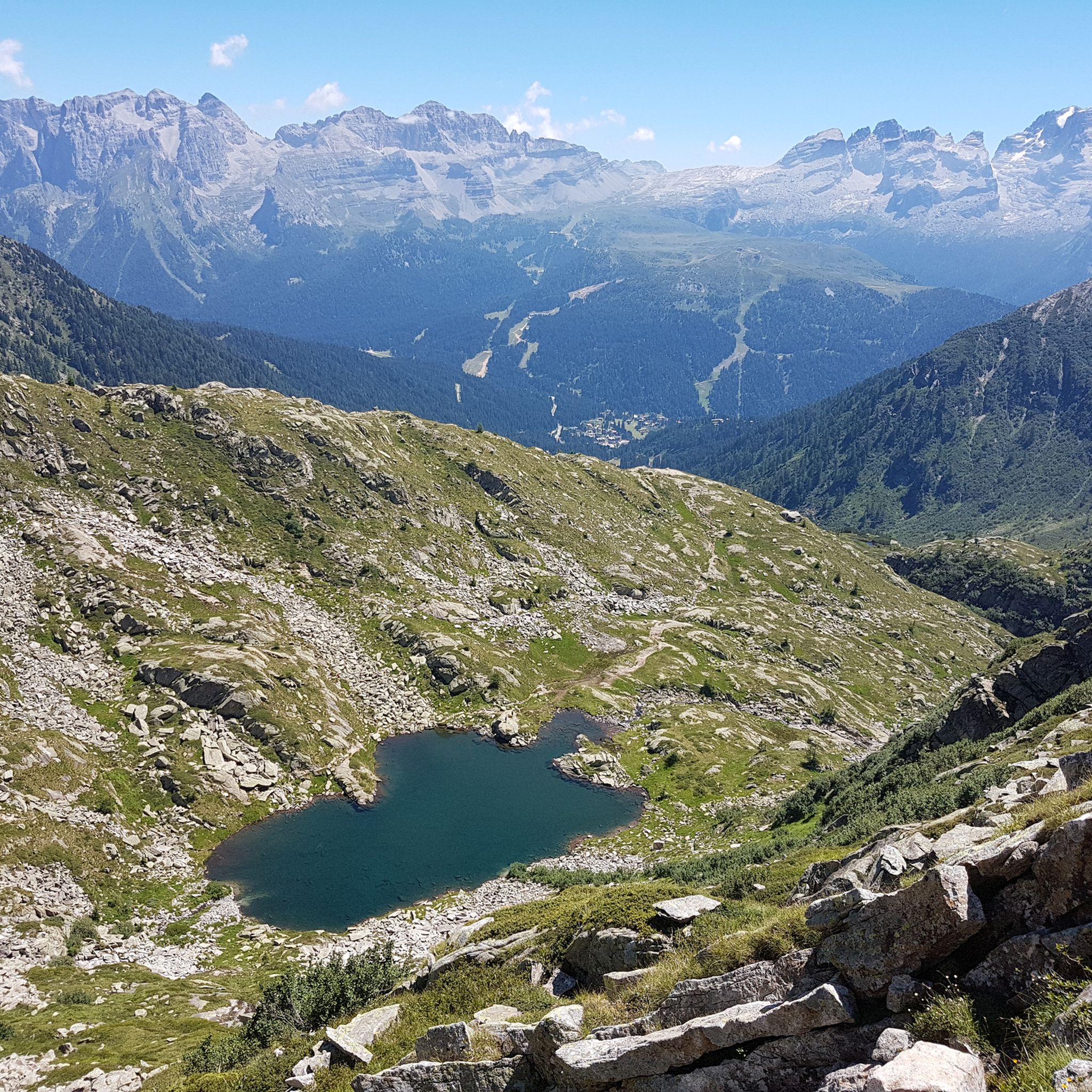
A pass located at 2,681 meters above sea level, on the watershed dividing northern Trentino from Lombardy, so called because during the Austro-Hungarian reign, smugglers passed through it carrying contraband goods. It was the site of trench warfare during the First World War, and today, the imposing ruins of trenches, barracks, and Italian army posts can still be seen on the great ridge that, starting from Cima Cadì, passed over western Monte Tonale, Cima Casaiole, and then from Passo dei Contrabbandieri, ascended first to Albiolino and then to Punta d'Albiolo, opposing the Austro-Hungarians who occupied Torrione d'Albiolo and the entire ridge descending from it, to eastern Monte Tonale and today's "Città morta" (Dead City), with a bold cantilevered engineering feat, still partially visible from the 1960s and 1970s. From the pass you can enjoy interesting views both to the north and to the south.
7
1

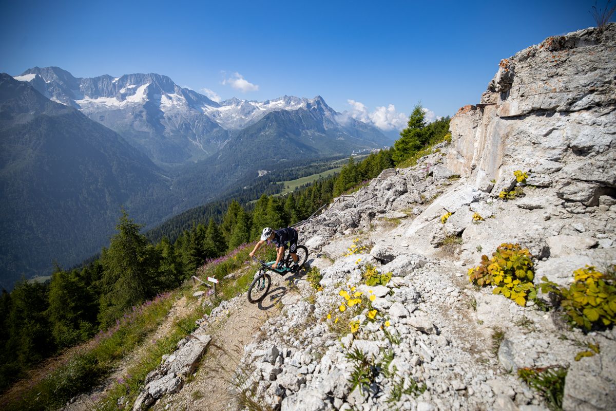
Stunning high altitude trail that can be done on a sure-footed mountain bike
2
0

The arrival point of the chairlift of the same name, the Doss del Sabion is located at an altitude of 2,100 meters and there is a mountain refuge perfect for a break. The beginning of the Brenta Bike Park is located near this peak which dominates the Pinzolo valley.
1
0

The Contrabbandieri pass, at 2,681 meters above sea level, is a place rich in history. This passage was used in the past for smuggling between Italy and the Austrian Trentino, and later became an important military connection during the Great War. Today it is part of the "Path of Peace", a path dedicated to the historical memory of those events. To reach the pass, the path is relatively simple and does not present particular difficulties, although it can be tiring due to the slope, especially if you start from Case di Viso. However, the descent is a lot of fun and you can certainly run.
3
0

Solander Refuge, located in Val di Sole, at 2000 meters above sea level.
0
0

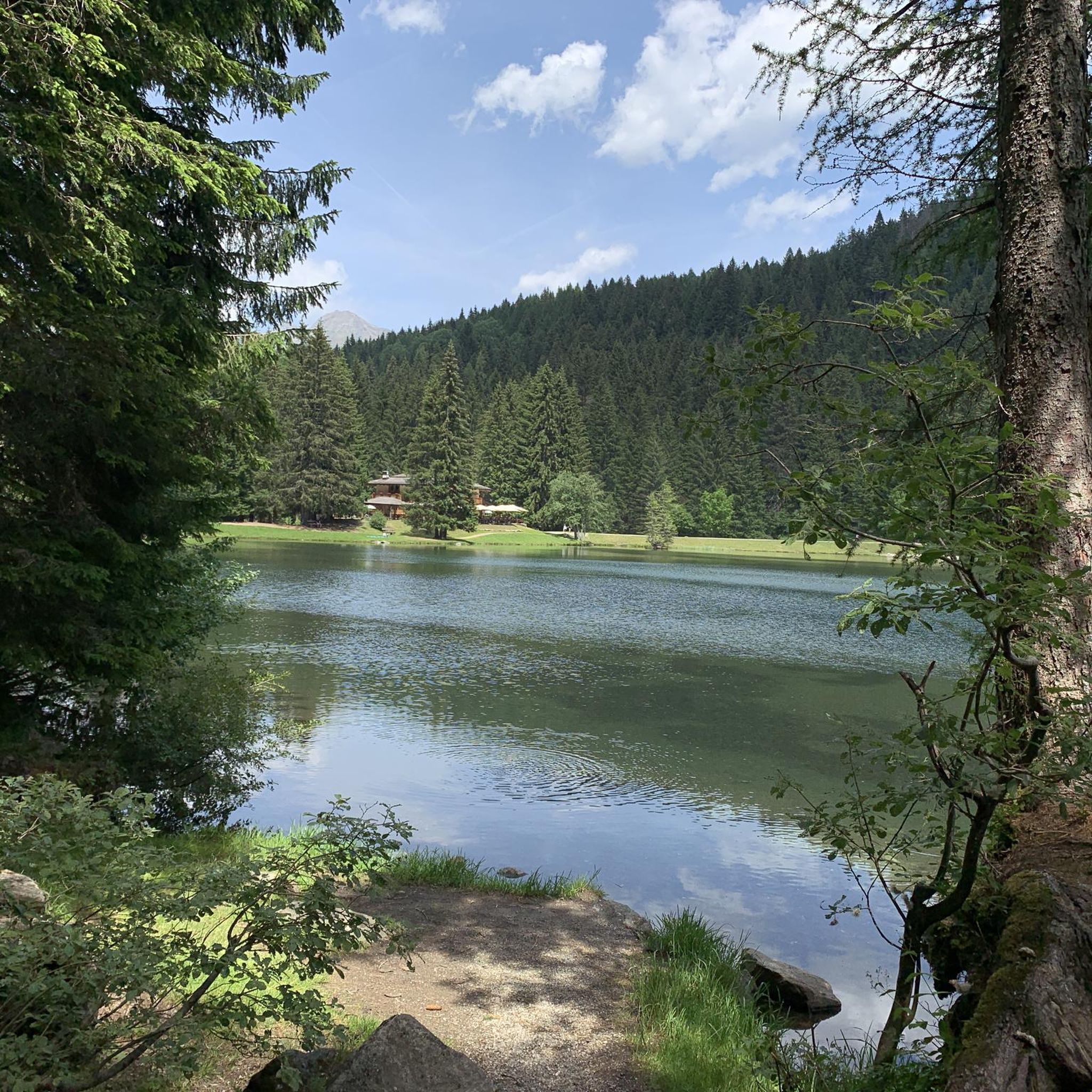
The refuge, located at 2,045 meters above sea level right at the arrival of the Daolasa-Val Mastellina chairlift, is a point of reference for MTB in Val di Sole. In fact, various itineraries for all tastes start from here. Between bike parks, trails and dirt roads, there is plenty to indulge in for days on end.
3
0

komootモバイルアプリでインスピレーションを得よう


さらに探索
まだ完璧なバイクパークを探していますか?これらの場所のガイドをチェックしましょう:
