カルドーニョの天然記念物・トップ6
カルドーニョが誇る美しい風景を見てみたいなら、カルドーニョの素晴らしい天然記念物・トップ6
に行ってみましょう。あなたにぴったりの場所が見つかるよう、素晴らしい天然記念物を探索するために必要なすべての情報を集めました。次のアウトドアの冒険に出かける計画の参考にしましょう。
最終更新日: 9月 17, 2026
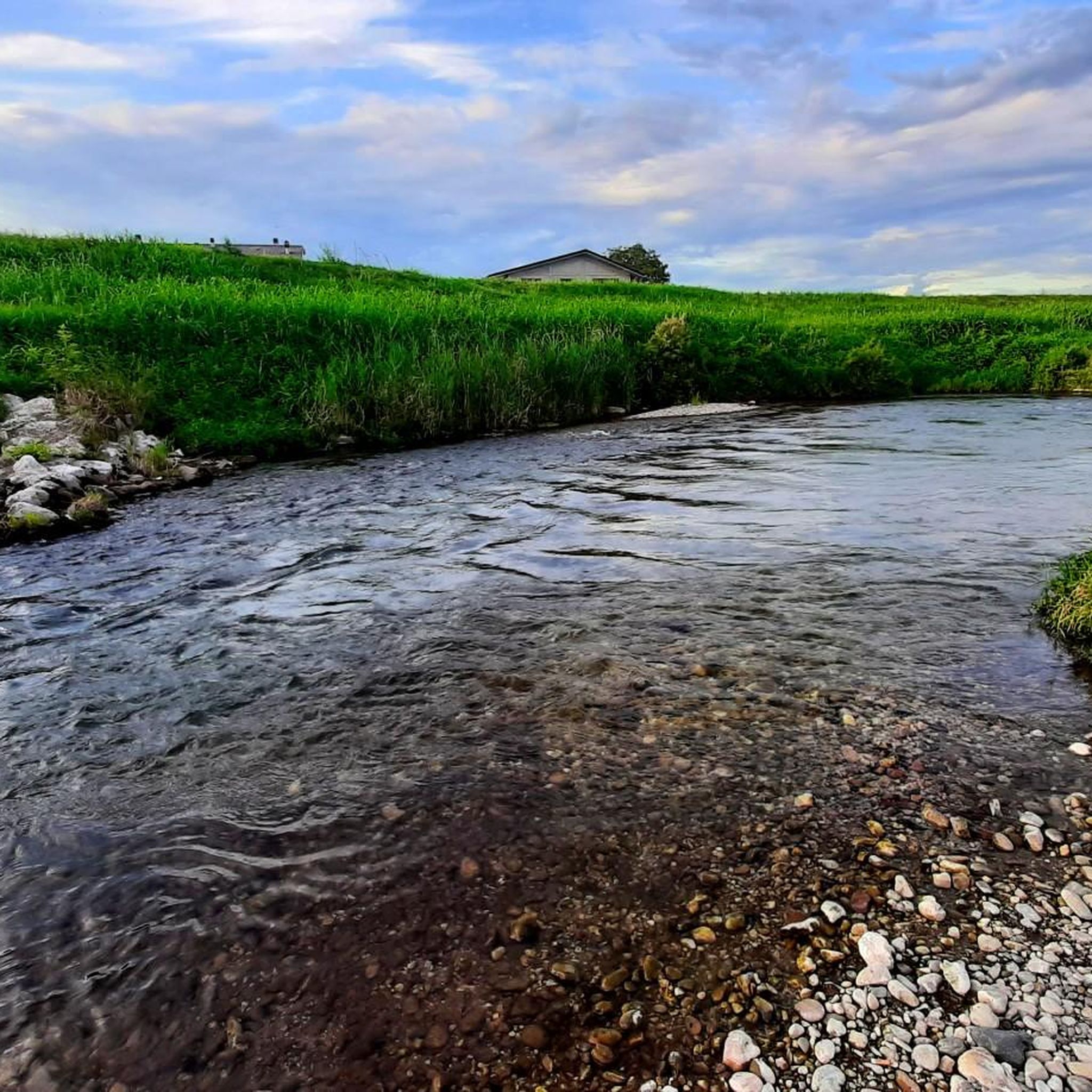
バッキリオーネ湧水群自然保護区
ハイライト • 自然記念物
For the gravel it is a paradise!
DESCRIPTION:
A resurgence, or fountain, is a source of fresh water of natural origin, sometimes made to …
翻訳者 Google •
役立つ情報 は


今すぐサインアップして、こんな場所を発見しよう
最高のシングルトラック、ピーク、その他のエキサイティングなアウトドアスポットのおすすめを受け取ろう。
パルコ・レトローネの桜
ハイライト • 自然記念物
🇬🇧 A point of peace and tranquility surrounded by nature, within a large park
翻訳者 Google •
役立つ情報 は

エウガネーイ丘陵の眺め
ハイライト • 展望台
翻訳者 Google •
役立つ情報 は

カスカータ・デル・ピッソロン
ハイライト • 滝
翻訳者 Google •
役立つ情報 は

無料アカウントで今日から始めよう
次の冒険が待っています。

コミュニティからのヒント


静けさと景色のためにこれらの場所を訪れる価値があります
0
0

This spectacular waterfall is located in the heart of the wild and unknown Pissolòn Valley: the torrent of the same name comes out in a jet from the edge of a high rocky amphitheater, draped with brambles and lianas; it makes a jump of about ten meters, diving into a natural basin; it continues with a second stratified limestone slide. A breathtaking scenery! It seems that the locals call it 'Pissavàca', and looking at it you can understand why: the incessant and concentrated jet of water that is released into the air resembles the piss of a cow, to be literal. The waterfall is difficult to access, and is reached where the valley becomes narrower and deeper, embedded between the sides of the hills: you have to climb over fallen trees and climb on steep and slippery terrain to reach it; you can also push yourself under it, along a narrow and exposed ledge that crosses the rock face. To be visited during rainy periods, to find it impetuous and not dry.
2
0

To admire this curious phenomenon, a detour from the main road is necessary. Once you reach the place, just look out into the well (with a diameter of about 50 cm) from which what is sometimes called "dragon's breath" seems to emerge from. It is nothing more than a karst cavity (characteristic of the Faedo-Casaron plateau) from which fresh air comes out (which varies between 7 and 13 degrees). Especially in the summer period, the typical rustle of the exchange of hot and cold air masses at the mouth of the cave is clearly audible. The cavity, commonly called "Buso del Lucio", was discovered by the Maladense speleologist Lucio Zanini. The valley that you travel along following the Campipiani-Faedo path is called “Valle dei Vischi”. The origin of this name is not known but it probably refers to the sound effects (breathing, hissing, moaning) that the blowing caves produce in particular climatic conditions.
0
0

The Euganean Hills (It. Colli Euganei) are a chain of hills of volcanic origin that rises in northern Italy a few kilometers south-west of Padua from the Po Valley. In 1989 they were proclaimed the first natural park in the Veneto region (Parco regional dei Colli Euganei with an area of 18,694 hectares). Says wiki.
5
1

Fantastic view in the afternoon
5
1

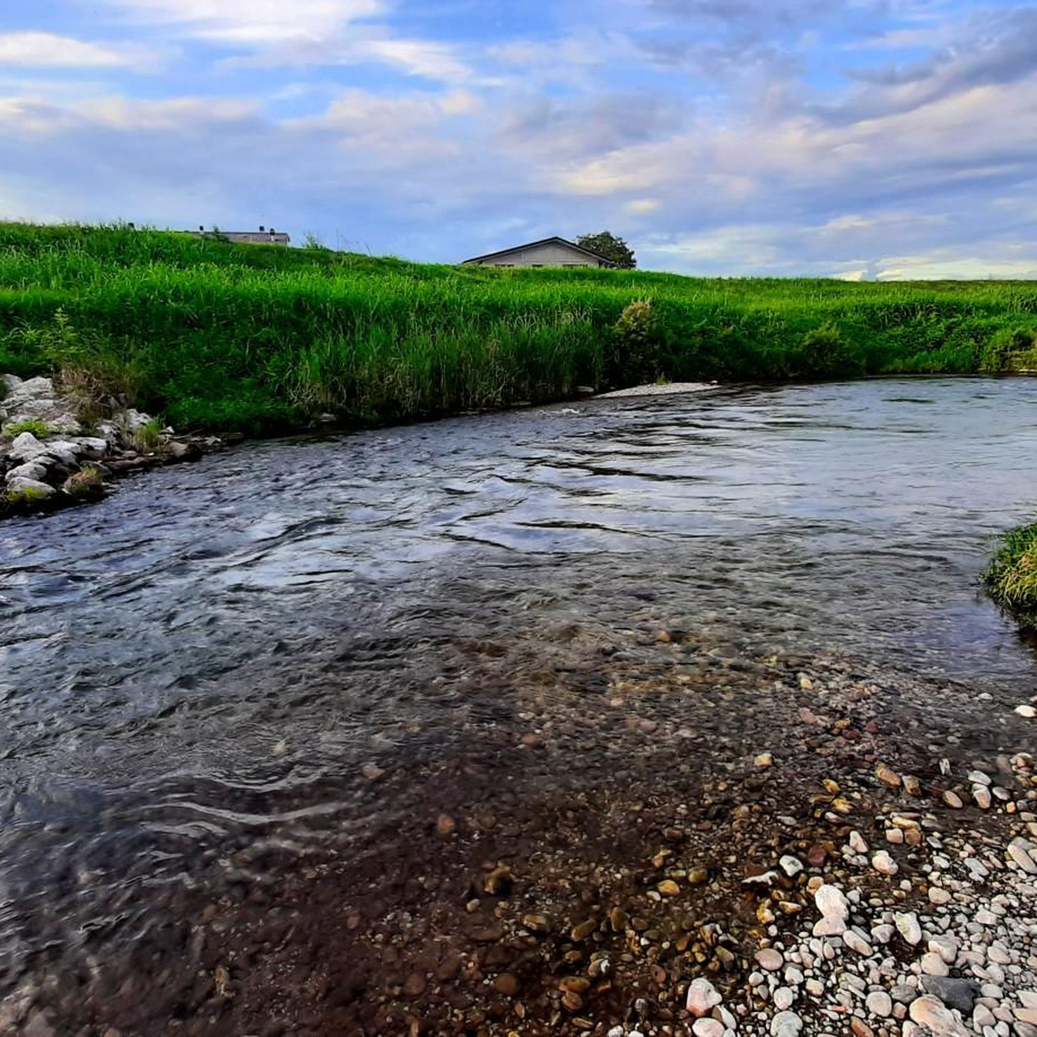
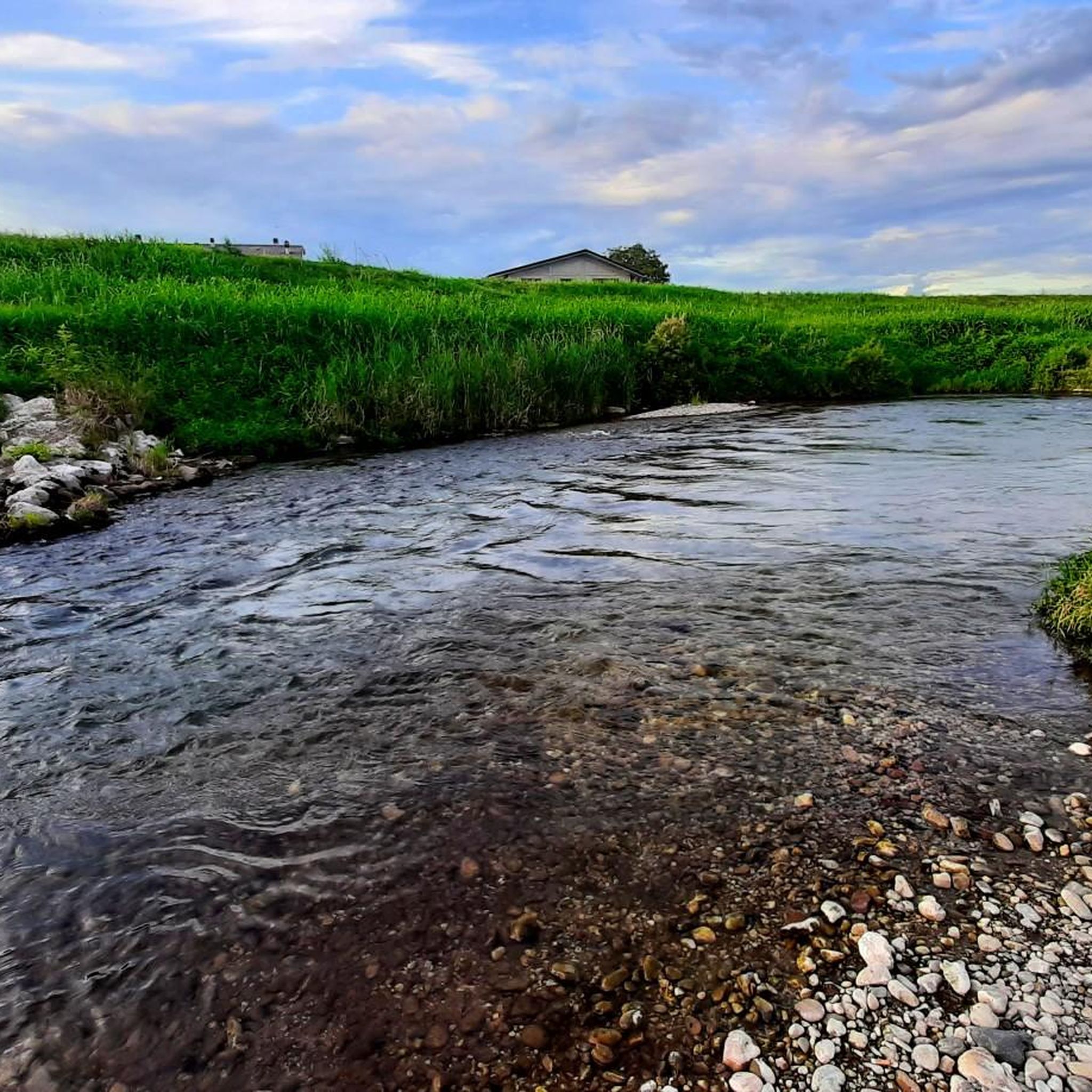
Beautiful area for walking and cycling! For the gravel it is a paradise! DESCRIPTION: A resurgence, or fountain, is a source of fresh water of natural origin, sometimes made to emerge by man, typical of alluvial plain soils such as the Po-Venetian Plain. The Bacchiglione river originates at the foot of the Vicentine Prealps and runs through a large stretch of the Po Valley, crossing two large cities, Vicenza and Padua. Since ancient times it has represented a very important communication route and its waters have been exploited for many productive and commercial activities. The ancient name of this river was "Edrone", as mentioned for the first time in the writings of Pliny the Elder in the 1st century. A.D. while the current name "Bacchiglione" could derive from the dialect verb "bacajare" that is to rattle, chat continuously, perhaps because the gurgling produced by the water during floods is similar to human shouting. In the Venetian Plain, in the area around Dueville, the waters that flow deeply encounter increasingly consistent layers of impermeable clay, which hinder their underground flow and "force" them to spontaneously rise to the surface. In this way the suggestive spring springs are formed: small hollows in which the perennial gushing of the streams of water originates a stream called "resurgence". Some of these springs, marked on the map of the Risorgive del Bacchiglione, are also visible within the area! The spring water has several peculiarities: it is very clear and, thanks to its constant temperature (between 10 ° and 13 ° C), it creates a particular microclimate that is perfect for hosting animal and plant species that are not common in the neighboring areas.
3
0
カルドーニョでのの人気観光スポット

komootモバイルアプリでインスピレーションを得よう


さらに探索
これらのガイドで、最高の洞窟を探す範囲を広げましょうカルドーニョでの:
