ネグラールの峠・トップ5
最終更新日: 11月 11, 2026
パッソ・ディ・ロッカ・ピア トレイル
ハイライト (セグメント) • トレイル
翻訳者 Google •
役立つ情報 は

ペリ–フォッセ クライム
ハイライト (セグメント) • 登山
Perfect climb with beautiful bends, downhill officially prohibited, for whatever reason 🤔
翻訳者 Google •
役立つ情報 は

今すぐサインアップして、こんな場所を発見しよう
最高のシングルトラック、ピーク、その他のエキサイティングなアウトドアスポットのおすすめを受け取ろう。
パッソ・デル・ピドッキオ
ハイライト • 山道
翻訳者 Google •
役立つ情報 は

パッソ・モンテ・コルネット
ハイライト • 山道
翻訳者 Google •
役立つ情報 は

メッザヴィッラ経由のモンテ・バルド登り
ハイライト (セグメント) • 登山
翻訳者 Google •
役立つ情報 は

無料でサインアップして、さらに多くの山道を発見しましょう ネグラールでの。
すでにアカウントをお持ちですか?
無料アカウントで今日から始めよう
次の冒険が待っています。
コミュニティからのヒント

an undemanding climb that is useful for reaching the top quickly and without getting too tired
0
0

To the right of this crossroads begin the dirt roads, a paradise 🤩
0
0

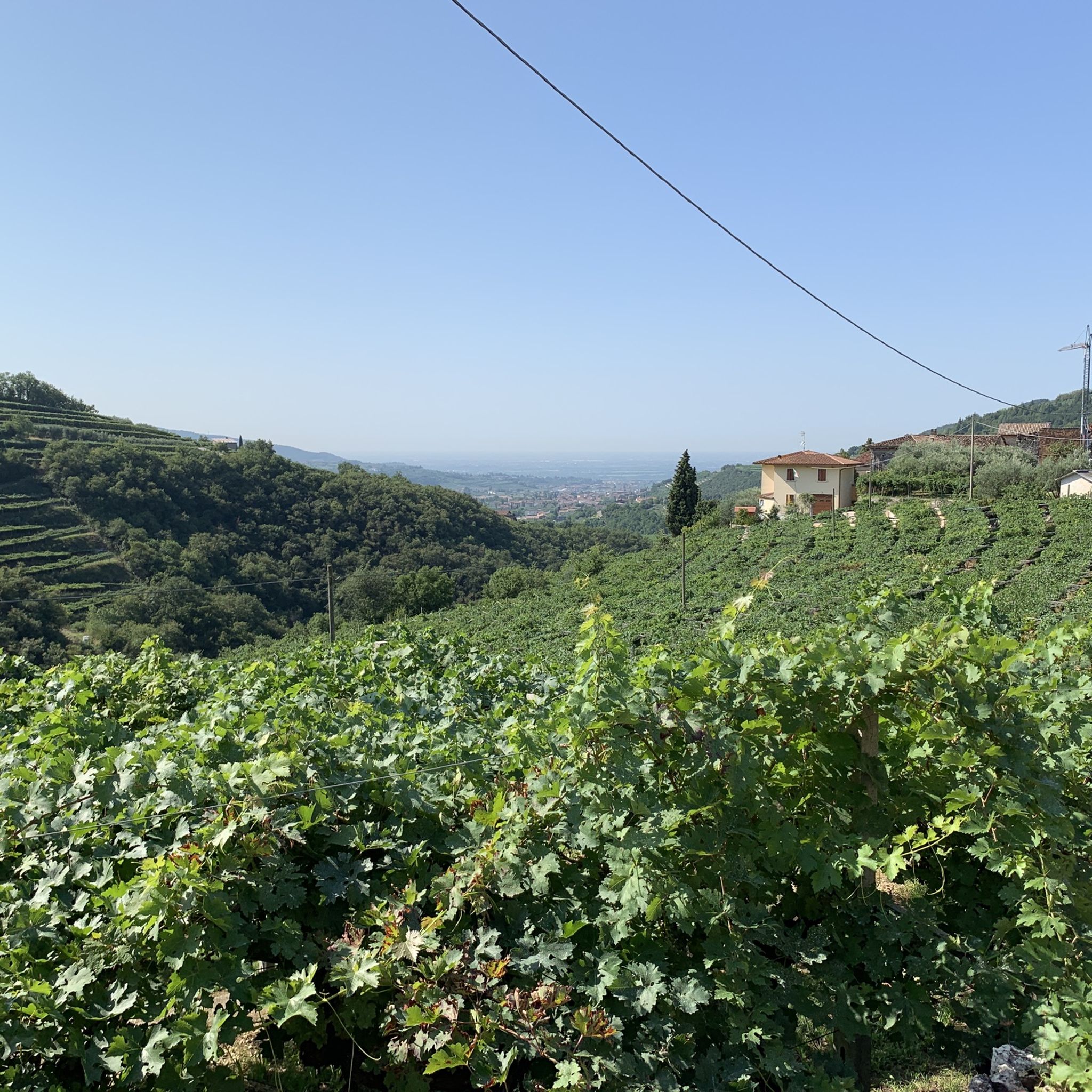
This variant to reach the Monte Baldo pass starts near Caprino Veronese and, instead of following the entire provincial road, cuts through the villages of Dossi, Mezzavilla and Valdefort. It is about 33 km with over 1600 meters of altitude difference, with average gradients of around 5%, but alternating very steep sections with some ups and downs.
0
0

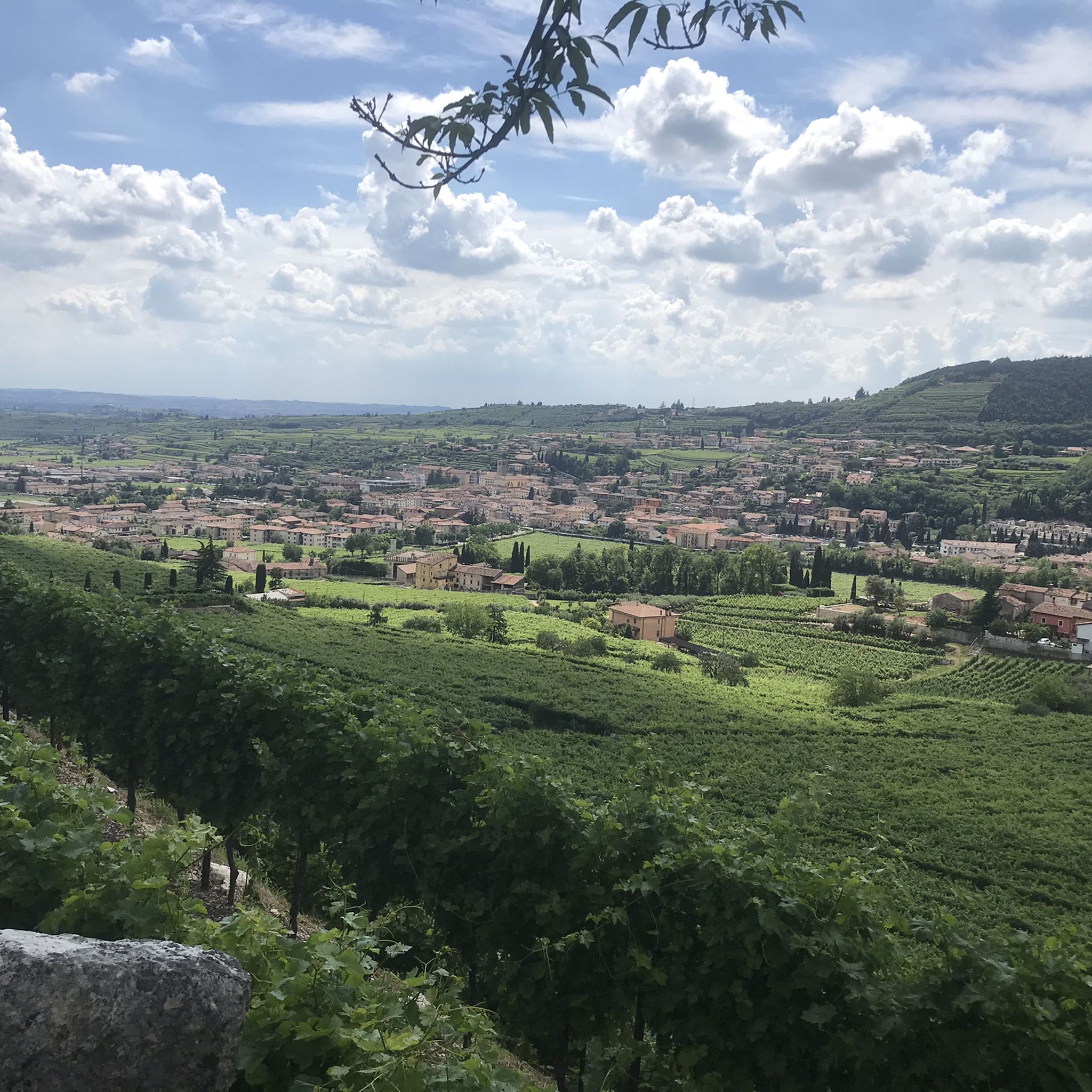
This road can only be done uphill (there is a ban against cycling downhill). it's 8.5km at 9% 10 hairpin bends. be careful not to go too fast at the start as the biggest jolts occur in the last kilometres. The view of the Adige Valley and Madonna Corona is beautiful. Recommended period is autumn so that the trees do not limit the view of the beautiful panorama
0
0
panoramic glimpse if you continue towards sega di ala the descent has steep slopes and is very narrow, pay attention
0
0

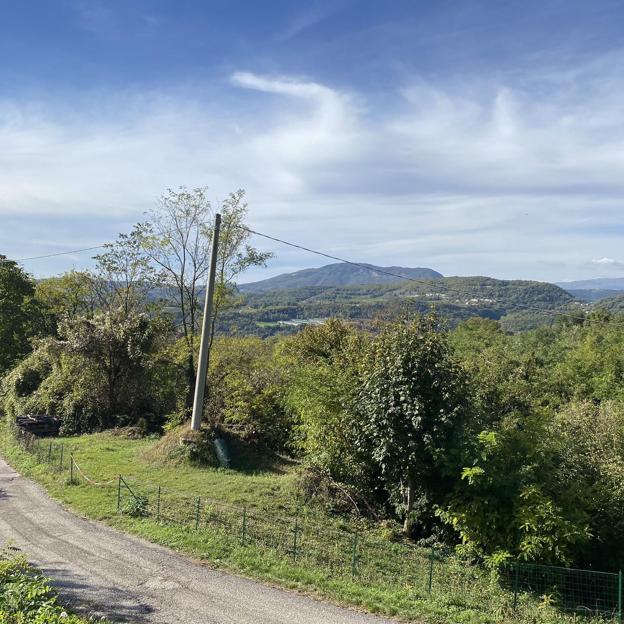
Passo del Pidocchio is the highest point of the paved road towards Malga Lessinia, reachable both from Erbezzo and from Passo Fittanze, both wonderful sides.
2
0

Super nice climb. But be careful on the top of the pass and on the descent, there are always stones on the road. A great new surface on the descent.
3
1

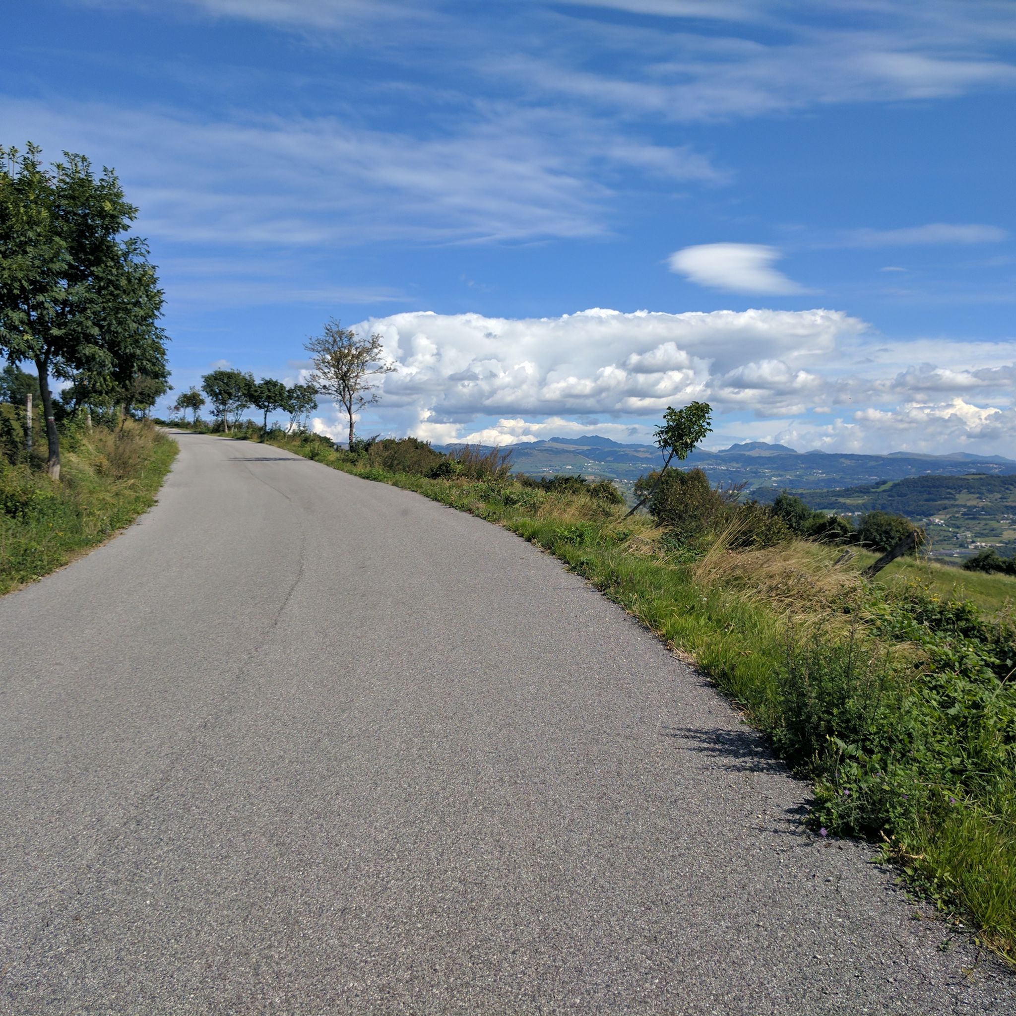
2022 everything newly asphalted, Perfect climb with beautiful bends, downhill officially prohibited, for whatever reason 🤔
5
1

komootモバイルアプリでインスピレーションを得よう


さらに探索
これらのガイドでさらに壮大な山道を見てみましょうネグラールでの:
