クランモンタナの天然記念物・トップ20
クランモンタナが誇る美しい風景を見てみたいなら、クランモンタナの素晴らしい天然記念物・トップ20
に行ってみましょう。あなたにぴったりの場所が見つかるよう、素晴らしい天然記念物を探索するために必要なすべての情報を集めました。次のアウトドアの冒険に出かける計画の参考にしましょう。
最終更新日: 9月 16, 2026
ツェウジエ湖貯水池
ハイライト • 湖
翻訳者 Google •
役立つ情報 は

ラック・ド・ラ・ブレシュ
ハイライト • 湖
翻訳者 Google •
役立つ情報 は

今すぐサインアップして、こんな場所を発見しよう
最高のシングルトラック、ピーク、その他のエキサイティングなアウトドアスポットのおすすめを受け取ろう。
ティエシュ渓谷の眺め
ハイライト • 展望台
翻訳者 Google •
役立つ情報 は

コル・デュ・ラウィル(2,425m)
ハイライト • 山道
翻訳者 Google •
役立つ情報 は

ラスパイユのピラミッド
ハイライト • 自然記念物
翻訳者 Google •
役立つ情報 は
無料でサインアップして、さらに多くの自然記念物を発見しましょう クランモンタナでの。
すでにアカウントをお持ちですか?


コミュニティからのヒント

From the Iffigenalp, a hiking trail leads through the forest and then along paths blasted into the rock to the pass. Together with the many waterfalls and the plateau, I found this pass to be magnificent.
0
0

magnificent view of the lake and the surrounding mountains
0
0

At the Rawil Pass you are at an altitude of 2,429 meters and on the border between the cantons of Bern and Valais. It is good that the plans from the 1980s to build a road and tunnel here were rejected by a popular initiative, because this means that the mountain idyll continues to prevail here instead of noise.
0
0

Incredible rock formations and a great trail along the Suone. There are only two such formations in the entire region.
0
0
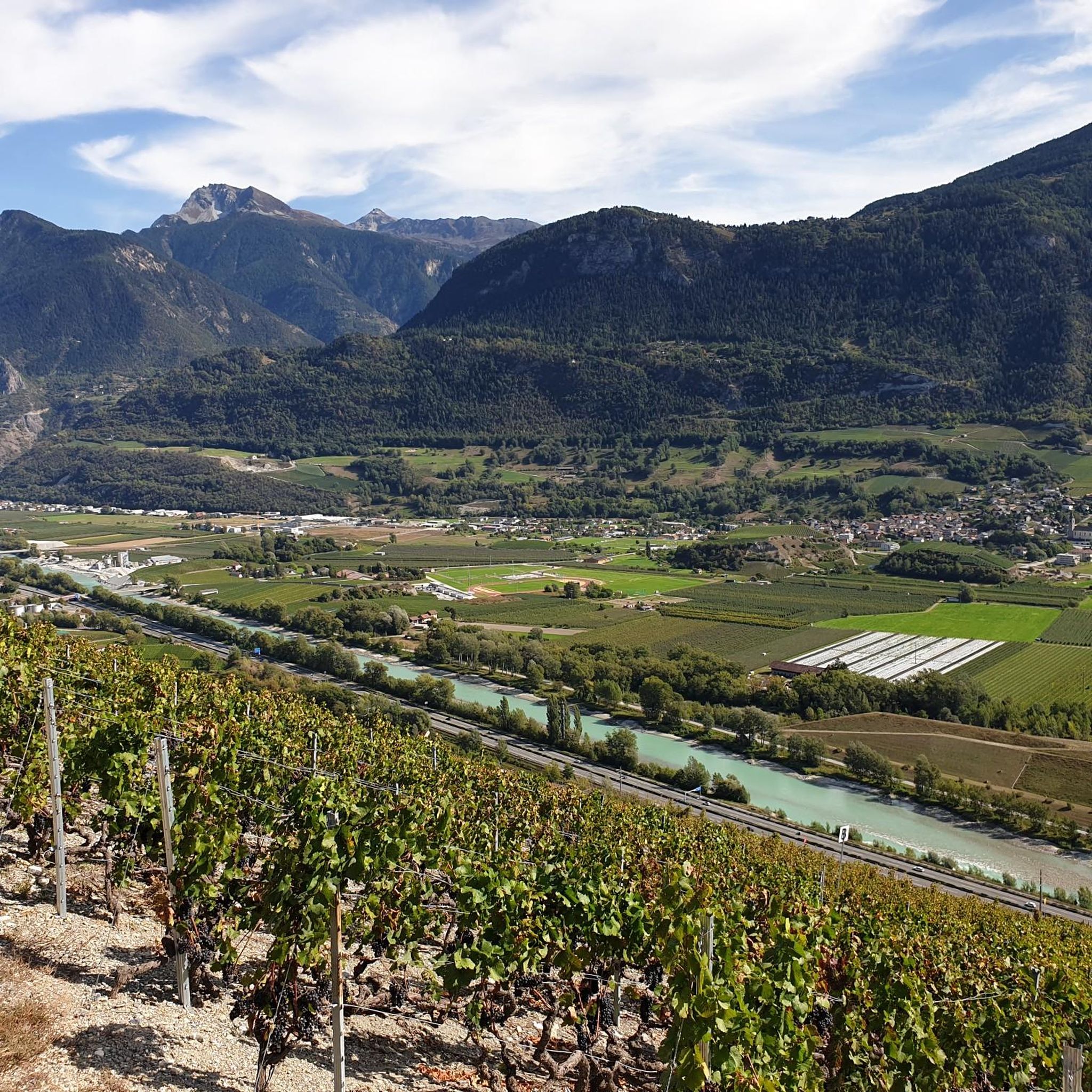
From here you have a fantastic view of the pristine Tièche valley. The valley is a small natural paradise with waterfalls, larch forests and preserved mountain pastures. Further down, the Tiéche flows into the Raspille, which also marks the linguistic border of the canton of Valais. Water from the Tièche is also transported to the vineyards around Crans-Montana via the old Suone de Tsittoret irrigation canal.
0
0
Incredible rock formations and a superb trail along the Bisse du Marais.
0
0
From here you have a fantastic view of the Tièche valley. The valley is a small natural paradise with waterfalls, larch forests and preserved mountain pastures. Further down, the Tiéche flows into the Raspille, which also marks the linguistic border of the canton of Valais. Via the old Suone de Tsittoret irrigation canal, the waters of the Tièche are also transported to the vineyards around Crans-Montana.
0
0
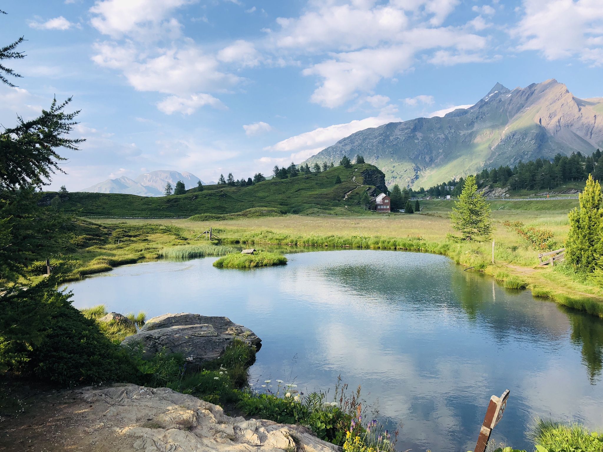
Lac de la Brèche is famous for its crystal clear waters and its surrounding landscapes. The water is very clear, during warmer periods you can enjoy a quick swim. There is a small pier nearby where you can rest or sunbathe. Access is free, there are no amenities, please take all trash with you.
1
0

komootモバイルアプリでインスピレーションを得よう


さらに探索
これらのガイドで、最高の洞窟を探す範囲を広げましょうクランモンタナでの:
