オーバーウツヴィルの天然記念物・トップ20
オーバーウツヴィルが誇る美しい風景を見てみたいなら、オーバーウツヴィルの素晴らしい天然記念物・トップ20
に行ってみましょう。あなたにぴったりの場所が見つかるよう、素晴らしい天然記念物を探索するために必要なすべての情報を集めました。次のアウトドアの冒険に出かける計画の参考にしましょう。
最終更新日: 9月 16, 2026
ギーセンフォールの滝
ハイライト • 滝
翻訳者 Google •
役立つ情報 は

ブルーダートーベルの滝付き洞窟
ハイライト • 洞窟
翻訳者 Google •
役立つ情報 は

今すぐサインアップして、こんな場所を発見しよう
最高のシングルトラック、ピーク、その他のエキサイティングなアウトドアスポットのおすすめを受け取ろう。
ベッテナウアー池
ハイライト • 湖
翻訳者 Google •
役立つ情報 は
Äulischlucht渓谷
ハイライト • 峡谷
Invites to stay, bathe and grill.
翻訳者 Google •
役立つ情報 は


無料アカウントで今日から始めよう
次の冒険が待っています。
コミュニティからのヒント


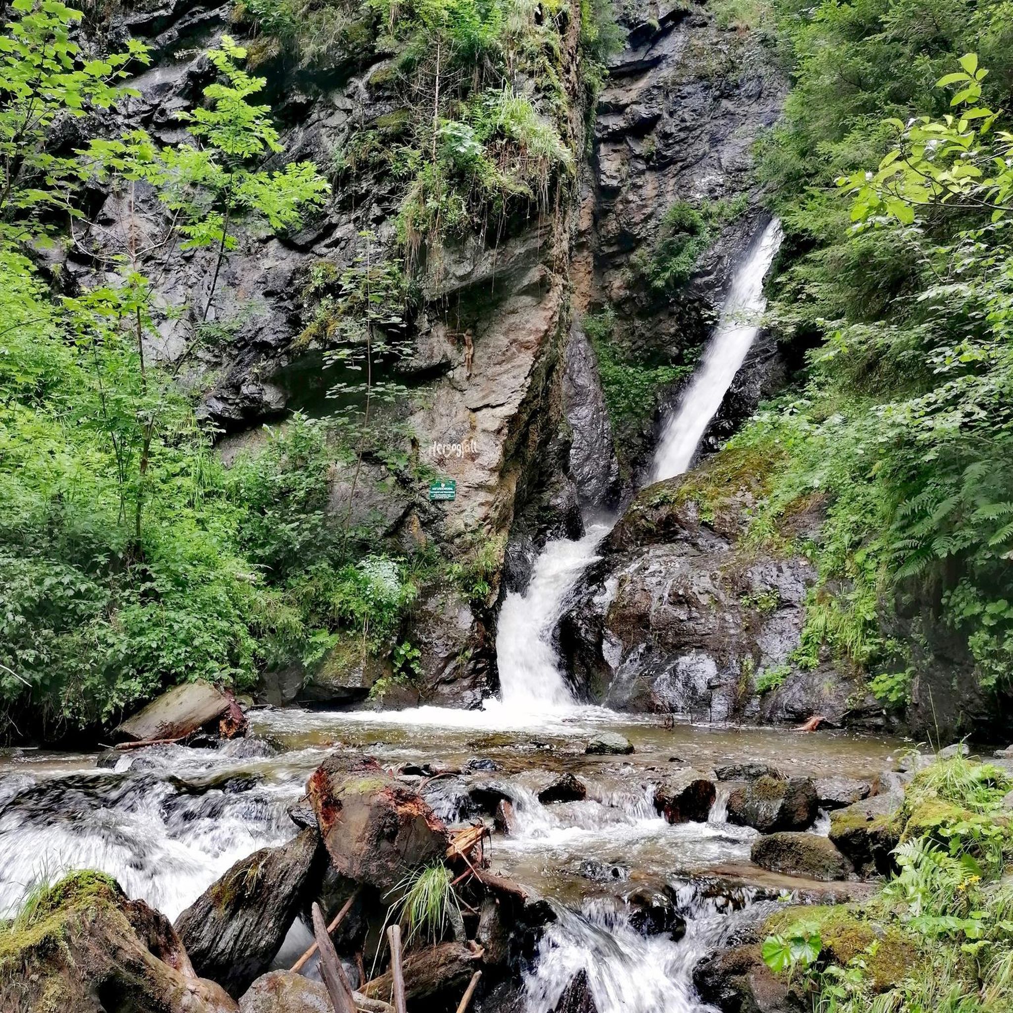
Lichtensteig近郊のÄulischluchtは、険しい岩壁、澄んだ水、小さな滝がある印象的な自然の宝石です。道は大部分が森の中を通り、時には岩の間を狭く縫うように進みます。短い区間ではロープが安全な進行を助けます。変化に富んだルートは、暖かい日には心地よい木陰を提供し、美しい景色で立ち止まりたくさせます。 注意:現在の干ばつと水不足のため、現在この水域への立ち入りは禁止されています。
0
0

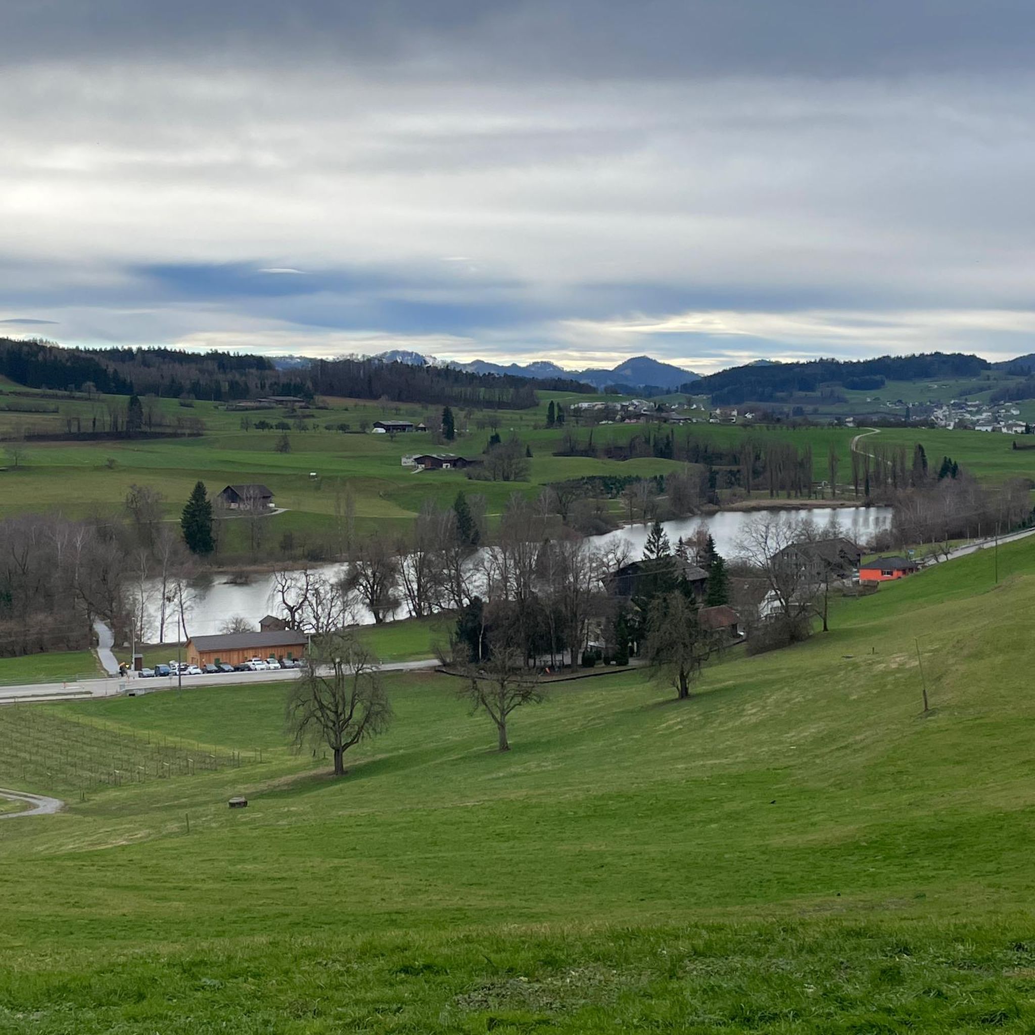
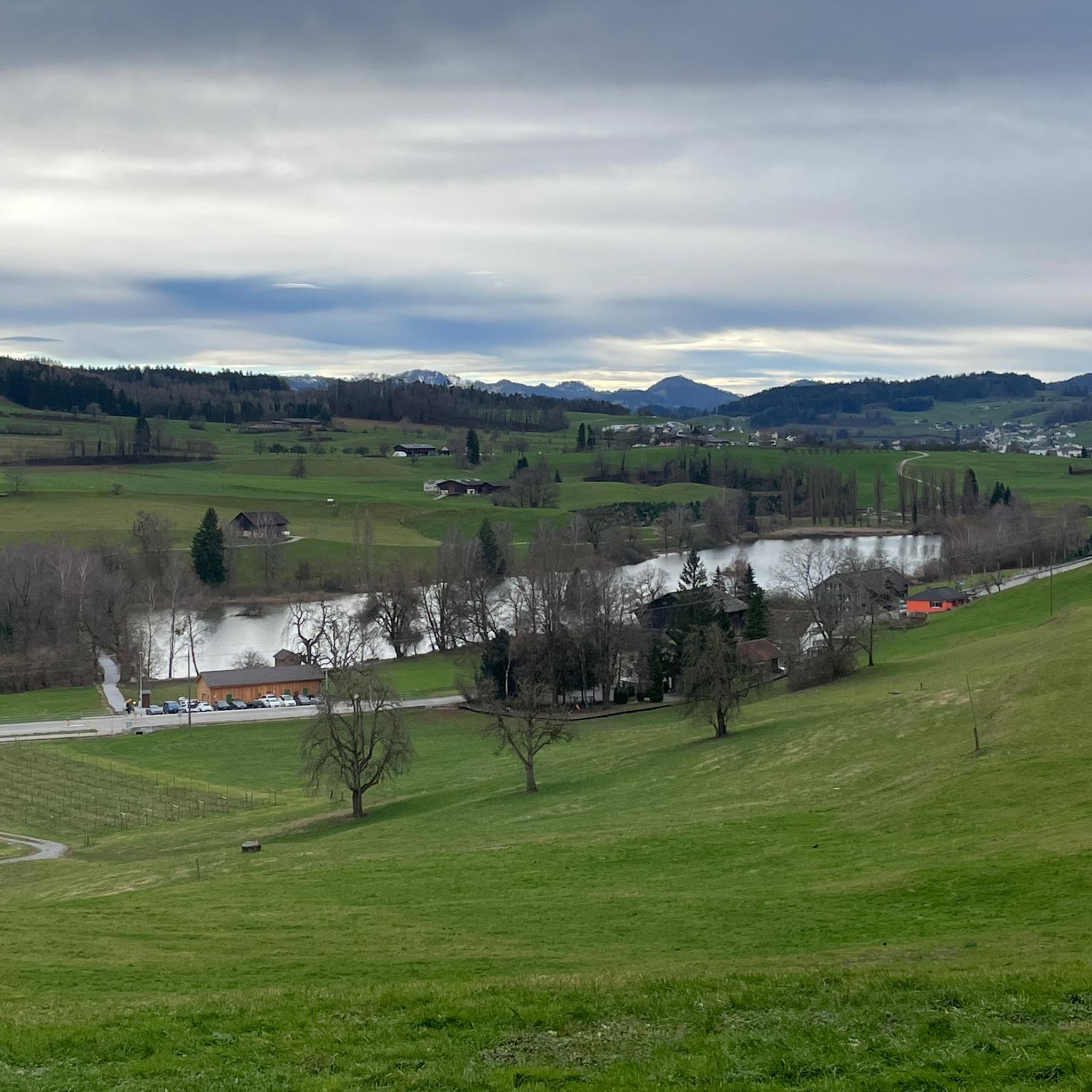
Passing west of the beautiful Bettenauer Weiher (driving is prohibited all around).
1
0

🌿 The Äuli Gorge in Lichtensteig – pure nature in Toggenburg! Turquoise water, mossy rocks, and mystical legends like the Äuli Dog 👻 await you. The perfect place to dive, hike, or simply marvel.
2
0

The Bettenauer Weiher lies in a depression between Wildberg and Uzwil, entirely within the municipality of Oberuzwil, in the Toggenburg region in the Swiss Alpine foothills. The pond's bottom consists of peat soil. The pond includes the smaller peat ponds to the east. The Bettenauer Weiher was originally a moor pond, the origin of which can ultimately be traced back to the formation of a depression between the Wildberg and Vogelsberg mountains during the Würm glaciation, when the entire Toggenburg region was covered by the Rhine glacier. The area around the Bettenauer Weiher is a fen of regional importance. It is part of an amphibian spawning area of national importance. For this reason, the pond has had an amphibian guide structure, a protected road underpass, since 1993. [Source: Wikipedia]
0
0
Äulischlucht in the Felsental. Incredibly beautiful detour into a grotesquely narrow rocky gorge with the Thur flowing through it, with a beautiful waterfall coming from the side.
2
0

is a very impressive place - used to be a pub (hobby)
1
0

オーバーウツヴィルでのの人気観光スポット

komootモバイルアプリでインスピレーションを得よう


