フラヴィルの天然記念物・トップ20
フラヴィルが誇る美しい風景を見てみたいなら、フラヴィルの素晴らしい天然記念物・トップ20
に行ってみましょう。あなたにぴったりの場所が見つかるよう、素晴らしい天然記念物を探索するために必要なすべての情報を集めました。次のアウトドアの冒険に出かける計画の参考にしましょう。
最終更新日: 10月 13, 2026
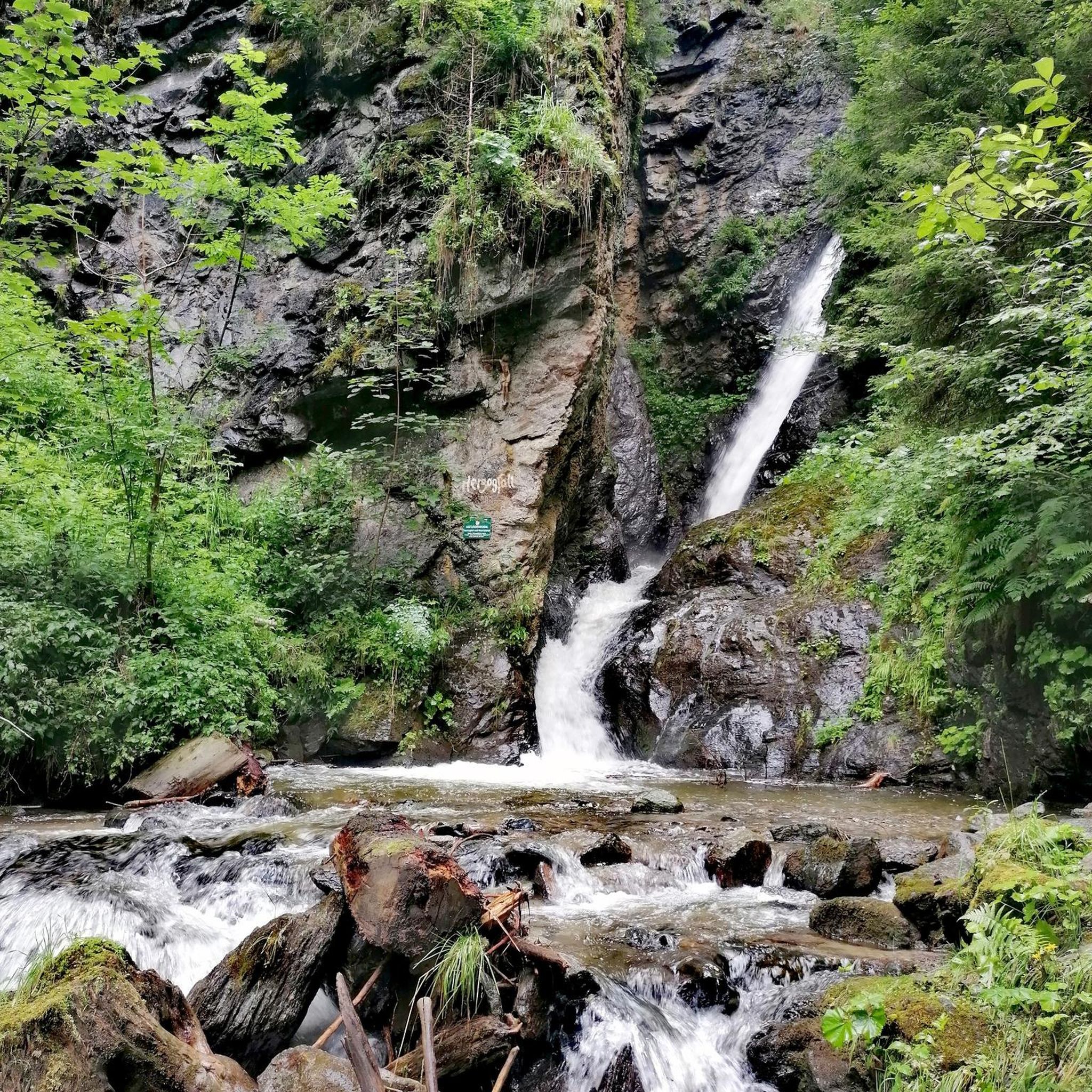
ブルーダートーベルの滝付き洞窟
ハイライト • 洞窟
翻訳者 Google •
役立つ情報 は

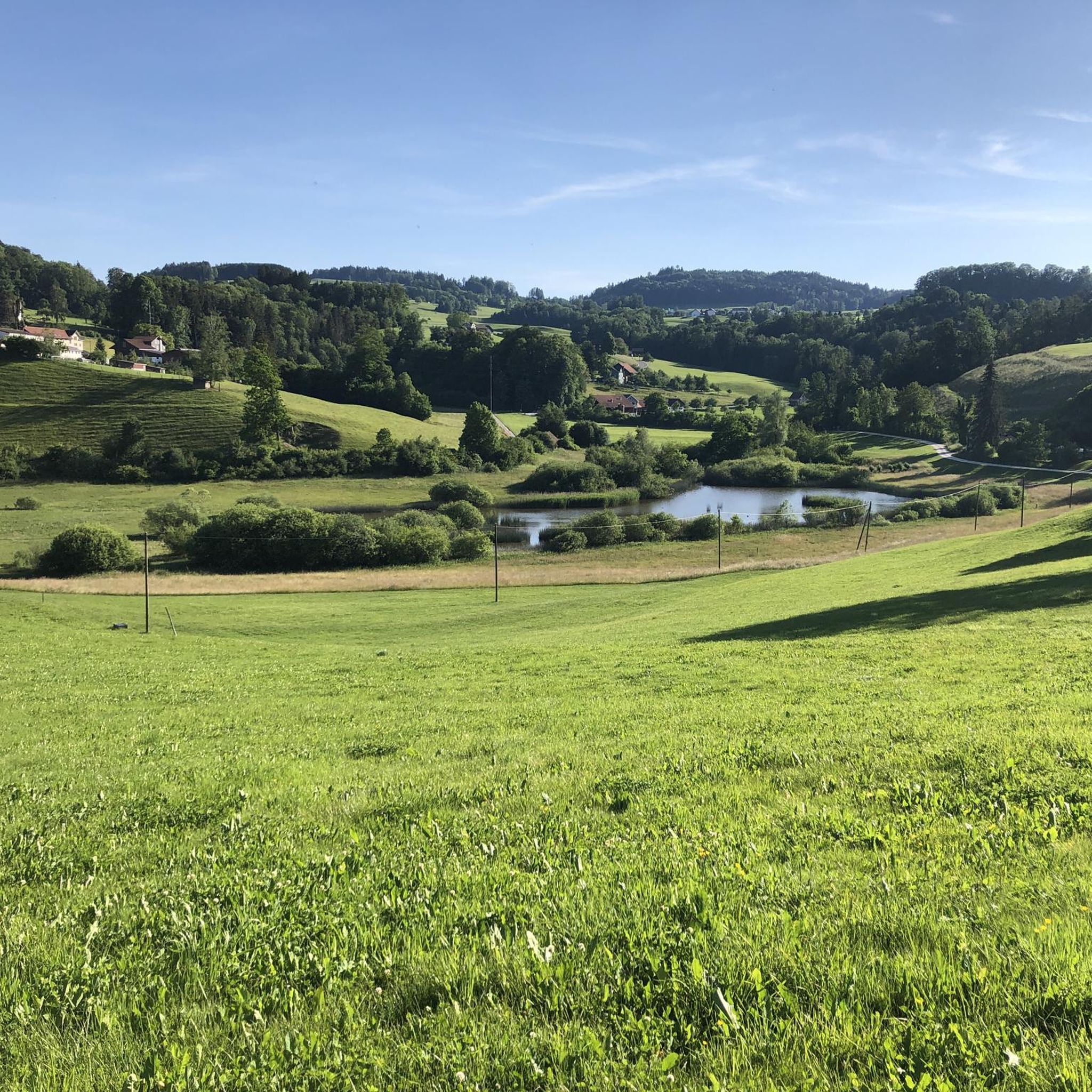
ベッテナウアー池
ハイライト • 湖
翻訳者 Google •
役立つ情報 は

今すぐサインアップして、こんな場所を発見しよう
最高のシングルトラック、ピーク、その他のエキサイティングなアウトドアスポットのおすすめを受け取ろう。
ギュブゼン湖東
ハイライト • 湖
翻訳を表示中
役立つ情報 は

ノレン
ハイライト • 展望台
翻訳者 Google •
役立つ情報 は



コミュニティからのヒント


リュードベルク城跡は13世紀の中世の城跡で、トゥール川から約50メートル上の岩の尾根にあります。今日でも城壁の一部が保存されており、かつての山の上の城の歴史を垣間見ることができます。城跡のすぐそばには、ピクニックエリアを備えた居心地の良いバーベキュー場があり、休憩に最適です。さらに、わずか数歩のところに、木造りの森のソファがあり、リラックスできます。森の中の静かなロケーションとトゥール渓谷の美しい景色が、この城跡を訪れる価値のある中間地点または行楽地としています。
0
0

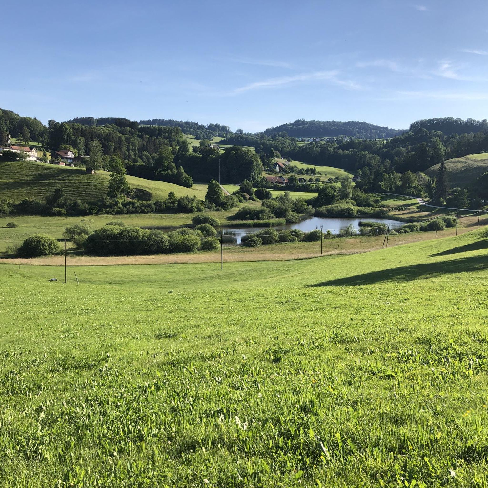
Passing west of the beautiful Bettenauer Weiher (driving is prohibited all around).
1
0

The ruins and the surrounding area are somewhat overgrown, but there is a wonderful rest area here with an information board about the historical background of the ruins.
0
0

The Bettenauer Weiher lies in a depression between Wildberg and Uzwil, entirely within the municipality of Oberuzwil, in the Toggenburg region in the Swiss Alpine foothills. The pond's bottom consists of peat soil. The pond includes the smaller peat ponds to the east. The Bettenauer Weiher was originally a moor pond, the origin of which can ultimately be traced back to the formation of a depression between the Wildberg and Vogelsberg mountains during the Würm glaciation, when the entire Toggenburg region was covered by the Rhine glacier. The area around the Bettenauer Weiher is a fen of regional importance. It is part of an amphibian spawning area of national importance. For this reason, the pond has had an amphibian guide structure, a protected road underpass, since 1993. [Source: Wikipedia]
0
0

is a very impressive place - used to be a pub (hobby)
1
0

Unfortunately, only a few remains of the walls remain. But a few meters further on, there is a wonderful view down to the Thur, assuming you don't suffer from vertigo...
1
0


komootモバイルアプリでインスピレーションを得よう


