ラグーナ山地のおすすめツーリングルート
5.0
(7)
330
ライダー
41
ライド
ラグーナ山地でサイクリングを楽しめば、サンディエゴ郡のこのエリアをより深く知ることができます。あなたにぴったりのラグーナ山地でのバイクライドが見つかるように、komootがサイクリングルートのコレクション全体を評価して選び抜いたルートをご紹介します。以下のルートをクリックして標高データや舗装状態の分析などの細かな情報を把握し、さらにkomootコミュニティのメンバーがアップロードした役立つ情報や写真も閲覧しましょう。
最終更新日: 8月 3, 2026
1
ライダー
44.3km
02:48
600m
880m
The Sunrise National Scenic Byway offers a challenging touring cycling experience through the Cleveland National Forest, delivering some of Southern California's most dramatic mountain and desert views. This difficult 27.5…
29.3km
02:34
590m
590m
The San Diego National Wildlife Refuge loop from Spring Valley offers a truly dynamic touring cycling experience, winding through diverse ecosystems from coastal sage scrub to riparian forests. You'll pedal…

無料新規登録
5.0
(1)
29
ライダー
24.9km
02:30
440m
440m
中程度の自転車ライド. ある程度のフィットネスレベルが必要です。 全般的に舗装された状態です。あらゆるスキルレベルに適しています。
5.0
(1)
26
ライダー
21.3km
01:56
310m
310m
中程度の自転車ライド. ある程度のフィットネスレベルが必要です。 全般的に舗装された状態です。あらゆるスキルレベルに適しています。
5.0
(1)
19
ライダー
73.9km
04:58
1,210m
1,210m
難しい自転車ライド. 標準以上のフィットネスレベルが必要です。 全般的に舗装された状態です。あらゆるスキルレベルに適しています。
15
ライダー
26.8km
02:33
450m
450m
中程度の自転車ライド. ある程度のフィットネスレベルが必要です。 全般的に舗装された状態です。あらゆるスキルレベルに適しています。
12
ライダー
56.9km
04:15
1,170m
1,170m
難しい自転車ライド. 標準以上のフィットネスレベルが必要です。 全般的に舗装された状態です。あらゆるスキルレベルに適しています。
10
ライダー
50.5km
03:40
1,030m
1,030m
難しい自転車ライド. 標準以上のフィットネスレベルが必要です。 全般的に舗装された状態です。あらゆるスキルレベルに適しています。
10
ライダー
59.6km
03:50
740m
740m
難しい自転車ライド. 標準以上のフィットネスレベルが必要です。 全般的に舗装された状態です。あらゆるスキルレベルに適しています。
8
ライダー
95.8km
06:26
1,580m
1,580m
The Storm Canyon Overlook – Kwaaymii Point loop offers a unique touring cycling experience, transitioning from lush pine, fir, and oak forests to expansive meadows and arid, near-desert landscapes. You'll…
さらに多くのルートや他のユーザーのおすすめ情報を確認できます。
無料新規登録
すでにアカウントをお持ちですか?
おすすめのツアーは他のkomootユーザーが実際に経験した何千ものアクティビティに基づいています。
無料アカウントで今日から始めよう
次の冒険が待っています。
ログインまたは登録




コミュニティからのヒント

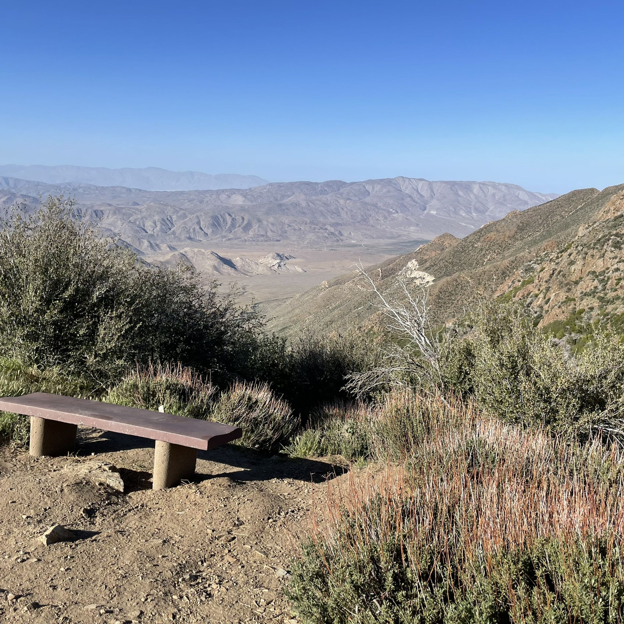
One of the classic photo stops along Sunrise Highway. After the steady climb, this open viewpoint offers wide, unobstructed views over the rolling, vegetation-covered hills. A great place to take a break, refuel, and soak in how far you’ve come.
0
0
A quiet pull-off spot just off the highway, surrounded by tall pines and cooler air. The pond itself is small but scenic—a nice excuse to stop, stretch your legs, and enjoy a quick breather before continuing the climb. Not much traffic back here, so it feels like a peaceful break from the road.
0
0

Los Huecos Road is a wide smooth gravel road lined with pine, cedars, and oak trees providing a beautiful shady ride.
0
0
The Sweetwater River is a small year-round stream that flows 55 miles from the Cuyamaca Mountains to the San Diego Bay.
1
0

Agua Dulce Trail's steep gradients and technical sections make it better suited for intermediate to advanced riders. Bring plenty of water and be prepared for both the climb and thrilling descents. The effort is well worth it for the adventure and views!
0
0

The Steele Canyon Bridge, also known as the Sweetwater River Bridge, is a beautiful landmark crossing the Sweetwater River. It is on the National Register of Historic places, and is no longer used for vehicles but is a great hiking, running or biking spot.
0
0

Hollenbeck Canyon Wildlife Area provides a 6,100-acre wildlife corridor between Otay Mountain and the Jamul Mountains. This mainly includes coastal sage scrub, chaparral, oak woodlands, riparian forests, freshwater marshes, and grasslands. The height range hovers between a low of 750' to 2,100'.
0
0

The Sweetwater River flows from Loveland Dam passing through Lake Emma, where the river bends west and runs parallel to Dehesa Road. The lake is fenced off and access is limited. At the western end of the lake is a golf club.
0
0
ラグーナ山地でのの人気観光スポット

komootモバイルアプリでインスピレーションを得よう


さらに探索
他の地域の最高のサイクリングルートを見てみましょう。
