ラグーナ山地のおすすめライド
4.6
(190)
2,764
ライダー
39
ライド
このガイドでご紹介するのは、komootがラグーナ山地でのロードバイクルートのコレクション全体を評価して選び抜いた、このエリアの人気バイクライドです。あなたに合ったものを見つけるには、以下のルートをクリックして標高データや舗装状態の分析などの細かな情報を把握し、さらにkomootコミュニティのメンバーが投稿した役立つ情報や写真も閲覧しましょう。
最終更新日: 8月 17, 2026
4.8
(5)
177
ライダー
66.6km
03:30
1,200m
1,200m
難しいロードライド. 標準以上のフィットネスレベルが必要です。 全般的に舗装状態が良好で走行しやすい道です。
5.0
(2)
72
ライダー
73.3km
03:54
1,250m
1,250m
難しいロードライド. 標準以上のフィットネスレベルが必要です。 全般的に舗装状態が良好で走行しやすい道です。

無料新規登録
24
ライダー
51.2km
02:49
1,100m
1,100m
難しいロードライド. 標準以上のフィットネスレベルが必要です。 全般的に舗装状態が良好で走行しやすい道です。
8
ライダー
27.3km
01:39
690m
690m
中程度のロードライド. ある程度のフィットネスレベルが必要です。 全般的に舗装状態が良好で走行しやすい道です。
4.8
(5)
190
ライダー
83.2km
04:14
1,410m
1,410m
難しいロードライド. 標準以上のフィットネスレベルが必要です。 全般的に舗装状態が良好で走行しやすい道です。
5.0
(2)
45
ライダー
122km
06:32
2,170m
2,170m
難しいロードライド. 標準以上のフィットネスレベルが必要です。 全般的に舗装状態が良好で走行しやすい道です。
5.0
(1)
40
ライダー
130km
06:52
2,290m
2,290m
難しいロードライド. 標準以上のフィットネスレベルが必要です。 全般的に舗装状態が良好で走行しやすい道です。
38
ライダー
54.9km
02:30
570m
570m
中程度のロードライド. ある程度のフィットネスレベルが必要です。 全般的に舗装状態が良好で走行しやすい道です。
26
ライダー
31.1km
01:24
290m
290m
初級者向けロードバイクライド. あらゆるフィットネスレベルに適しています。 全般的に舗装状態が良好で走行しやすい道です。
4.9
(9)
16
ライダー
35.5km
01:57
610m
610m
中程度のロードライド. ある程度のフィットネスレベルが必要です。 全般的に舗装状態が良好で走行しやすい道です。
さらに多くのルートや他のユーザーのおすすめ情報を確認できます。
無料新規登録
すでにアカウントをお持ちですか?
おすすめのツアーは他のkomootユーザーが実際に経験した何千ものアクティビティに基づいています。
無料アカウントで今日から始めよう
次の冒険が待っています。
ログインまたは登録




コミュニティからのヒント


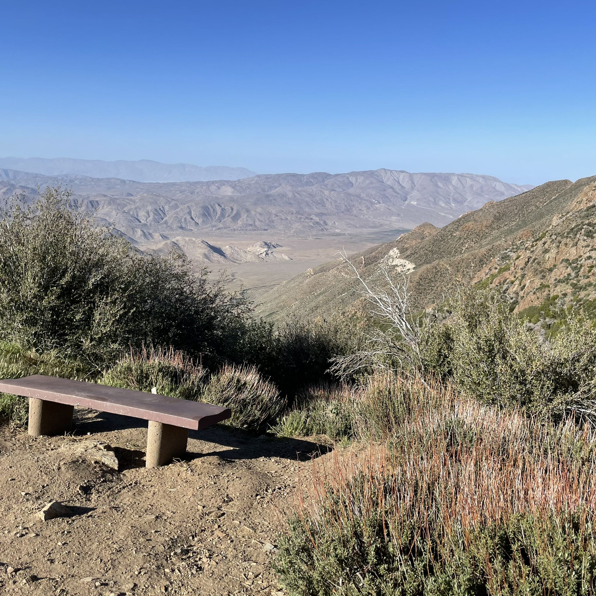
A quick and easy stop with big views for minimal effort. Inspiration Point sits right off Highway 79, just south of Julian. From the overlook, you get sweeping views over the desert below and the distant peaks beyond—especially dramatic in the late afternoon light.
0
0

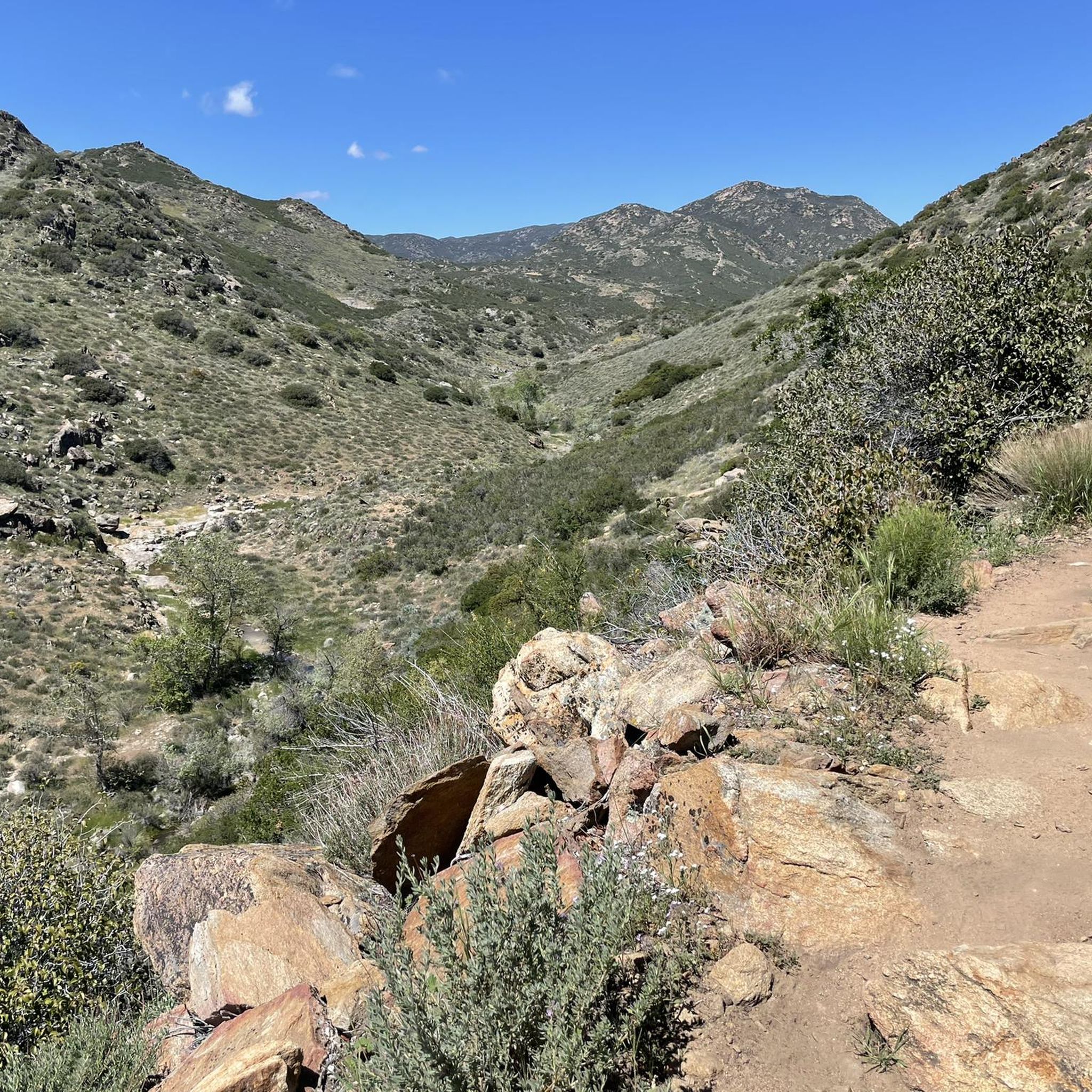
The Sweetwater River is a small year-round stream that flows 55 miles from the Cuyamaca Mountains to the San Diego Bay.
1
0

The Steele Canyon Bridge, also known as the Sweetwater River Bridge, is a beautiful landmark crossing the Sweetwater River. It is on the National Register of Historic places, and is no longer used for vehicles but is a great hiking, running or biking spot.
0
0

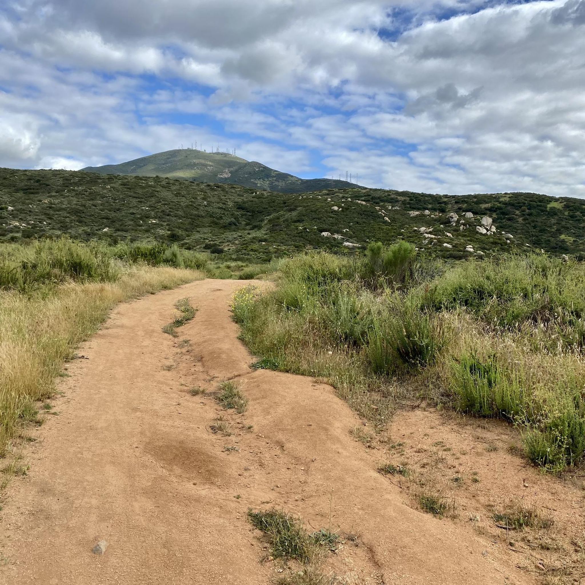
Hollenbeck Canyon Wildlife Area provides a 6,100-acre wildlife corridor between Otay Mountain and the Jamul Mountains. This mainly includes coastal sage scrub, chaparral, oak woodlands, riparian forests, freshwater marshes, and grasslands. The height range hovers between a low of 750' to 2,100'.
0
0

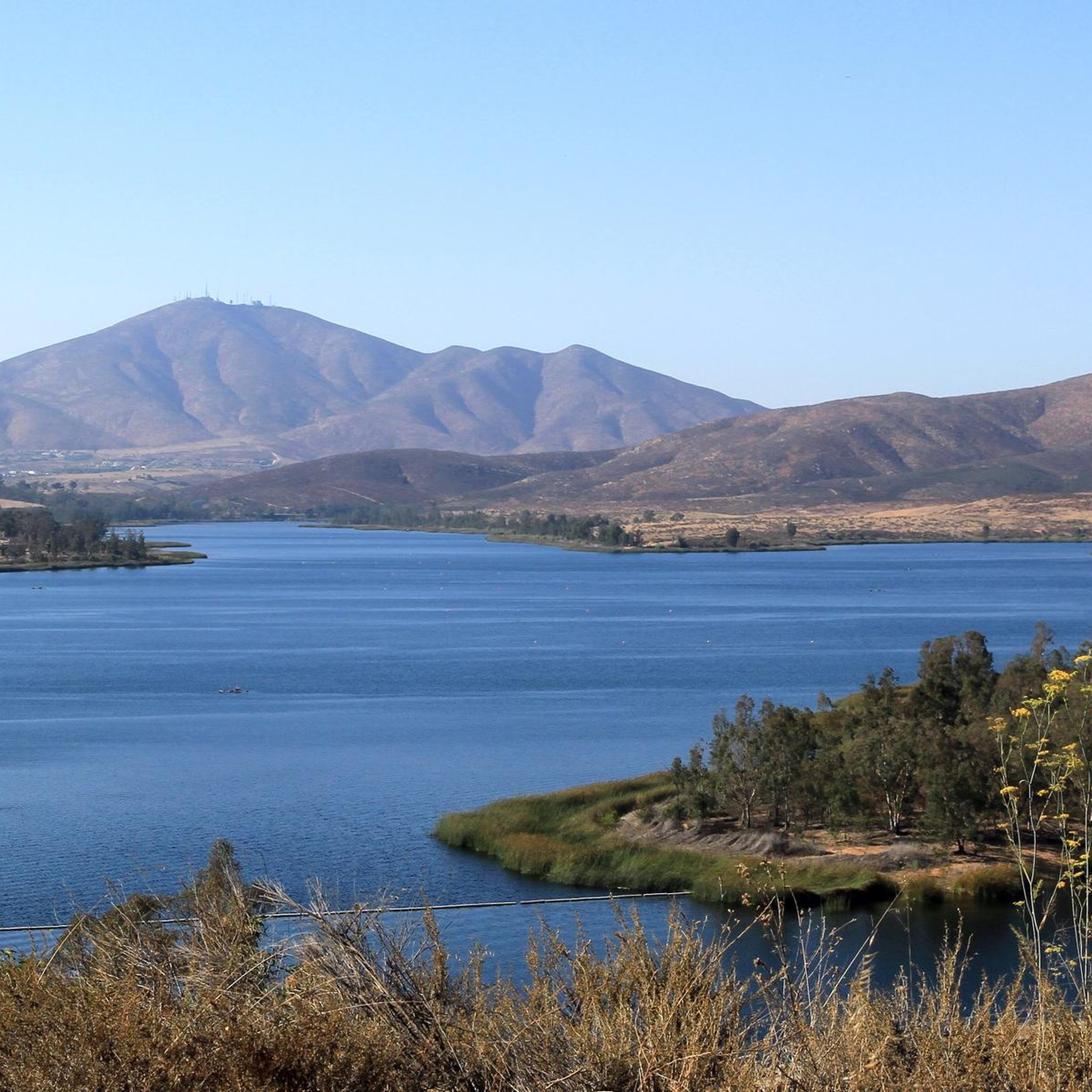
The Sweetwater River flows from Loveland Dam passing through Lake Emma, where the river bends west and runs parallel to Dehesa Road. The lake is fenced off and access is limited. At the western end of the lake is a golf club.
0
0
Laguna Summit is a prominent mountain pass along Sunrise Highway (State Route 79). As one of the highest points along this scenic route, it offers panoramic views of the surrounding landscapes, including the Anza-Borrego Desert to the east and the Pacific Ocean to the west.
0
0
Lake Cuyamaca is a picturesque 110-acre reservoir nestled in the Cuyamaca Mountains. Created in the 1880s to supply water to the city of San Diego, it now serves as a recreational haven for fishing, boating, and picnicking.
0
0
ラグーナ山地でのの人気観光スポット

komootモバイルアプリでインスピレーションを得よう


さらに探索
他の地域の最高のロードサイクリングルートを見てみましょう。
