アルブラゼルダムの湖・トップ20
次の冒険でアルブラゼルダムの素晴らしい湖を訪れてみませんか?湖畔の穏やかな雰囲気や、天気が良い日のひと泳ぎは格別です。komootコミュニティがおすすめするアルブラゼルダムの素晴らしい湖の一覧を参考にして、次の冒険では湖をもっと満喫しましょう。
最終更新日: 9月 2, 2026
デ・ビースボス国立公園
ハイライト • 自然
翻訳者 Google •
役立つ情報 は

デ・ビースボス湿地の枯れ木
ハイライト • 自然
翻訳者 Google •
役立つ情報 は

今すぐサインアップして、こんな場所を発見しよう
最高のシングルトラック、ピーク、その他のエキサイティングなアウトドアスポットのおすすめを受け取ろう。
無料新規登録
クレゼーポルダー 案内板
ハイライト • 休憩所
翻訳者 Google •
役立つ情報 は

デ・エス自然保護区
ハイライト • 自然
翻訳者 Google •
役立つ情報 は

ソフィアポルダー自然島
ハイライト (セグメント) • 自然
翻訳者 Google •
役立つ情報 は

無料でサインアップして、さらに多くの湖を発見しましょう アルブラゼルダムでの。
無料新規登録
すでにアカウントをお持ちですか?
無料アカウントで今日から始めよう
次の冒険が待っています。
ログインまたは登録
コミュニティからのヒント

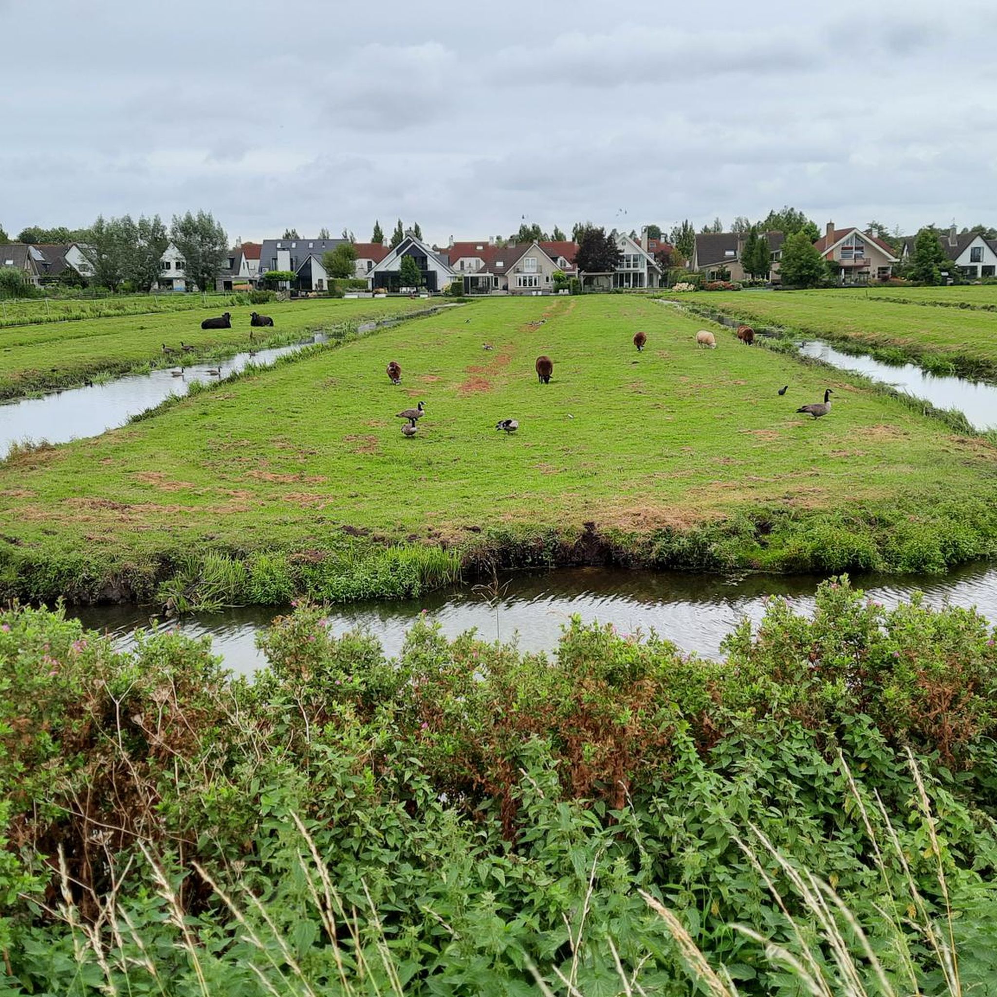
The Crezéepolder is a 75-hectare nature reserve outside the dikes on the Noord river between Hendrik-Ido-Ambacht and Ridderkerk, in the Dutch province of South Holland. The Crezéepolder was formerly used for agriculture after the gorse (sedges) were reclaimed around the Second World War. Instead of being an agricultural polder, the Crezéepolder will become a nature reserve. The development of this new nature and recreation area involves, among others, Rijkswaterstaat South Holland South, the province of South Holland, the municipalities of Ridderkerk, Hendrik-Ido-Ambacht, and Oasen.[1] Two openings were made in the dike to allow freshwater from the Noord river to flow in at high tide. The water flows in and out twice a day. The difference between high and low tide here is approximately 90 cm. This is rare in both the Netherlands and Europe. Due to its location on the river, the area is attractive to rare and scarce animals and birds. Source and more information: Wikipedia
2
0

There's plenty of flora and fauna to discover in the Biesbosch National Park. The park's museum and café are also a must-see. It's important to check the ferry service to Crezée in advance.
1
0


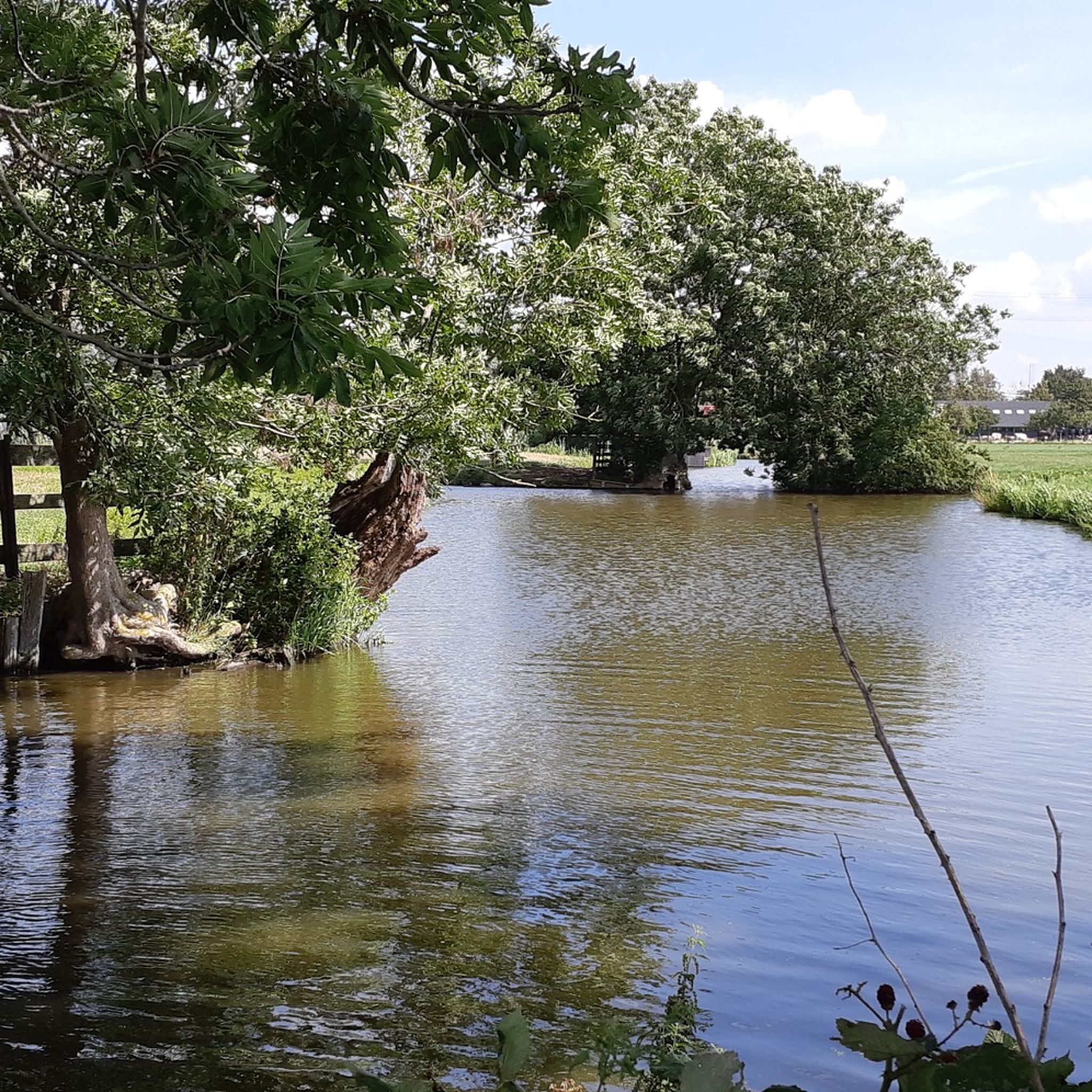
National Park De Biesbosch is on the list of protected nature reserves. De Biesbosch is partly used for agriculture and there is a lot of (water) recreation. Specially constructed reservoirs provide for the storage of clean surface water. Since 1994, De Biesbosch has been a national park, where work is now in full swing to give more space to the rivers.
3
0

The (bicycle) ferry from Lage Zwaluwe runs all day until about half past six (with a break between a quarter past 1 and 2 o'clock). From there you will be treated to a beautiful wetland, outside the Wadden area, the Netherlands' most beautiful nature reserve, if I may say so. Enjoy the many birds and the diversity of (wet) nature. If you park your bicycle, you can also explore the area on foot; there are several lookout towers where you can secure your bicycle. At the end of the ride I set up my tent at the Knotwilg nature campsite. A hiker's field with a view over the water, great! There are also beautiful routes into the area from there. There is a mini lookout tower near the campsite, so you can enjoy a beautiful sunset.
5
0
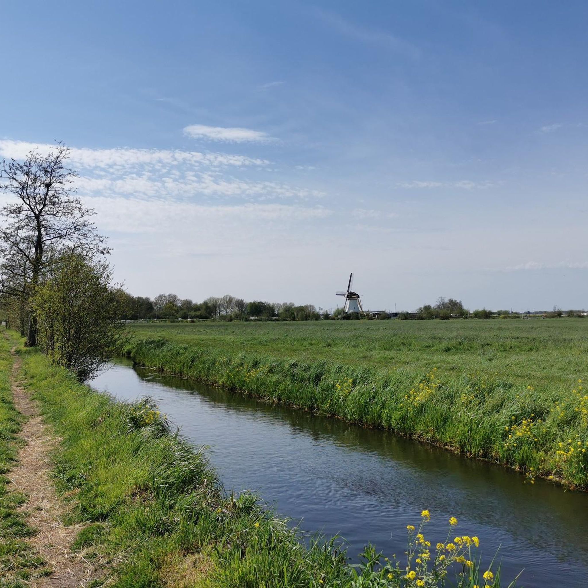
With the (bicycle) ferry from Lage Zwaluwe you will be completely immersed in the most beautiful nature reserve in the Netherlands. Take your time for this part, there are various routes into the area!
3
1

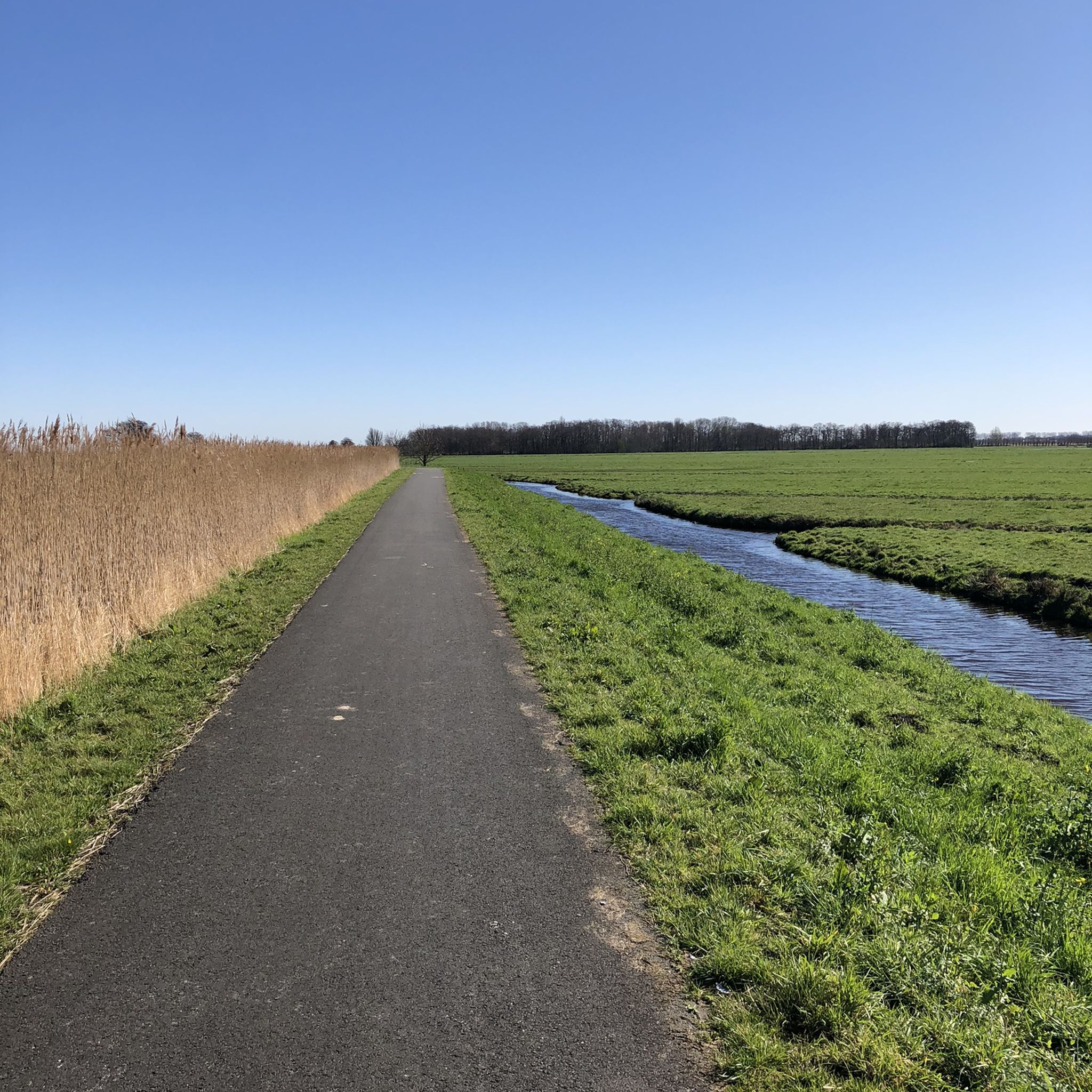
Very nice with beautiful bike paths, a total of 70 km of cycling fun
6
0

The natural island of Sophiapolder is located in the middle of the tidal river De Noord. You can only get there with a foot ferry for a 2.5 kilometer walk over decking and dikes. Transfer for free and enjoy nature. To get to the island, the voluntary skippers of the Zuid-Hollands Landschap are happy to transfer you with a foot ferry. The crossing takes 5 to 10 minutes and it can carry a maximum of 10 passengers. The area with sandbanks and creeks is constantly changing under the influence of the tide. The nutrient-rich mud plates act like a magnet for birds such as avocet, redshank, shelduck and green-legged rider. Spoonbills often wade in the creeks. With their spoon-shaped bill they catch food from the water in a zigzagging manner. Greylag goose and Canada goose can be seen on the island all year round. On the higher ground, field thistle, royal herb, St. John's wort and loosestrife grow. Plants that attract many insects. So keep an eye out for beautiful butterflies and different types of bumblebees and bees. Water speedwell, reed and spindotter grow in the wet parts, which have striking yellow flowers in the spring. This plant disappears completely under water at high tide, at low tide the green and yellow leaves are still covered by a thin layer of mud. The island was created in the 14th century by silting up in the North River. Around 1850, one of the sandbanks was reclaimed and named after Queen Sophia, the wife of King Willem III. Around 1900, the Sophiapolder came into agricultural use, while a shipbreaking yard arose on the Rietbaan. At high tide, discarded seagoing vessels sail up the reed lane. The demolition work caused enormous pollution. In 1996 it was decided that the 77 hectare Sophiapolder would become nature to compensate for the construction of the Betuweroute. The shipwrecks were cleared, the bottom cleaned up and the freight trains now rumble about 25 meters under your feet. The Sophia railway tunnel is eight kilometers long.
3
0
アルブラゼルダムでのの人気観光スポット

komootモバイルアプリでインスピレーションを得よう


さらに探索
まだ完璧な湖が見つかりませんかアルブラゼルダムでの?これらの地域のガイドをチェックして、さらに美しい場所を見てみましょう。
