レ・ユリの湖・トップ11
次の冒険でレ・ユリの素晴らしい湖を訪れてみませんか?湖畔の穏やかな雰囲気や、天気が良い日のひと泳ぎは格別です。komootコミュニティがおすすめするレ・ユリの素晴らしい湖の一覧を参考にして、次の冒険では湖をもっと満喫しましょう。
最終更新日: 10月 25, 2026
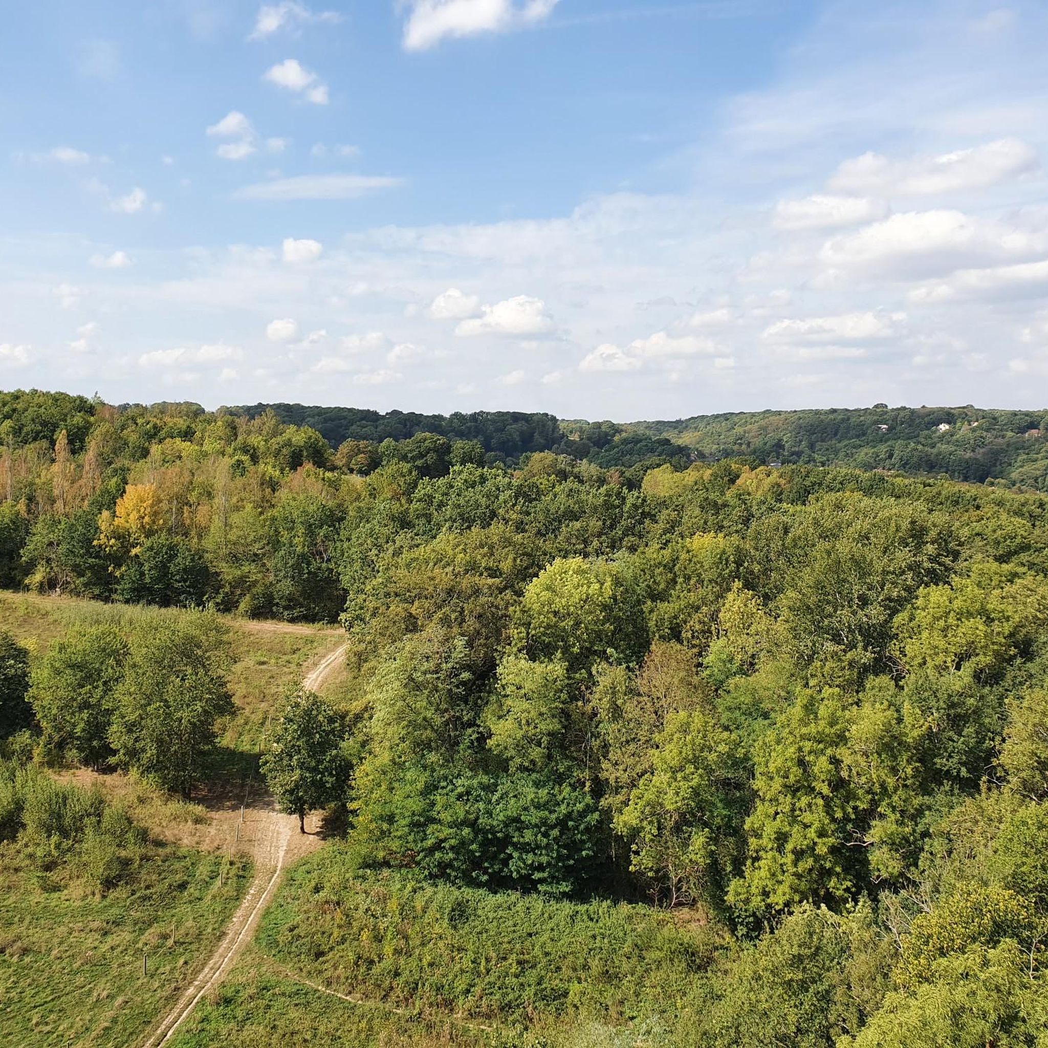
パルク・デ・コート・モンブロンの池
ハイライト • 湖
Located in the town of Jouy-en-Josas, the Parc des Côtes Montbron, acquired by the Department for sensitive natural areas, has been …
翻訳者 Google •
役立つ情報 は

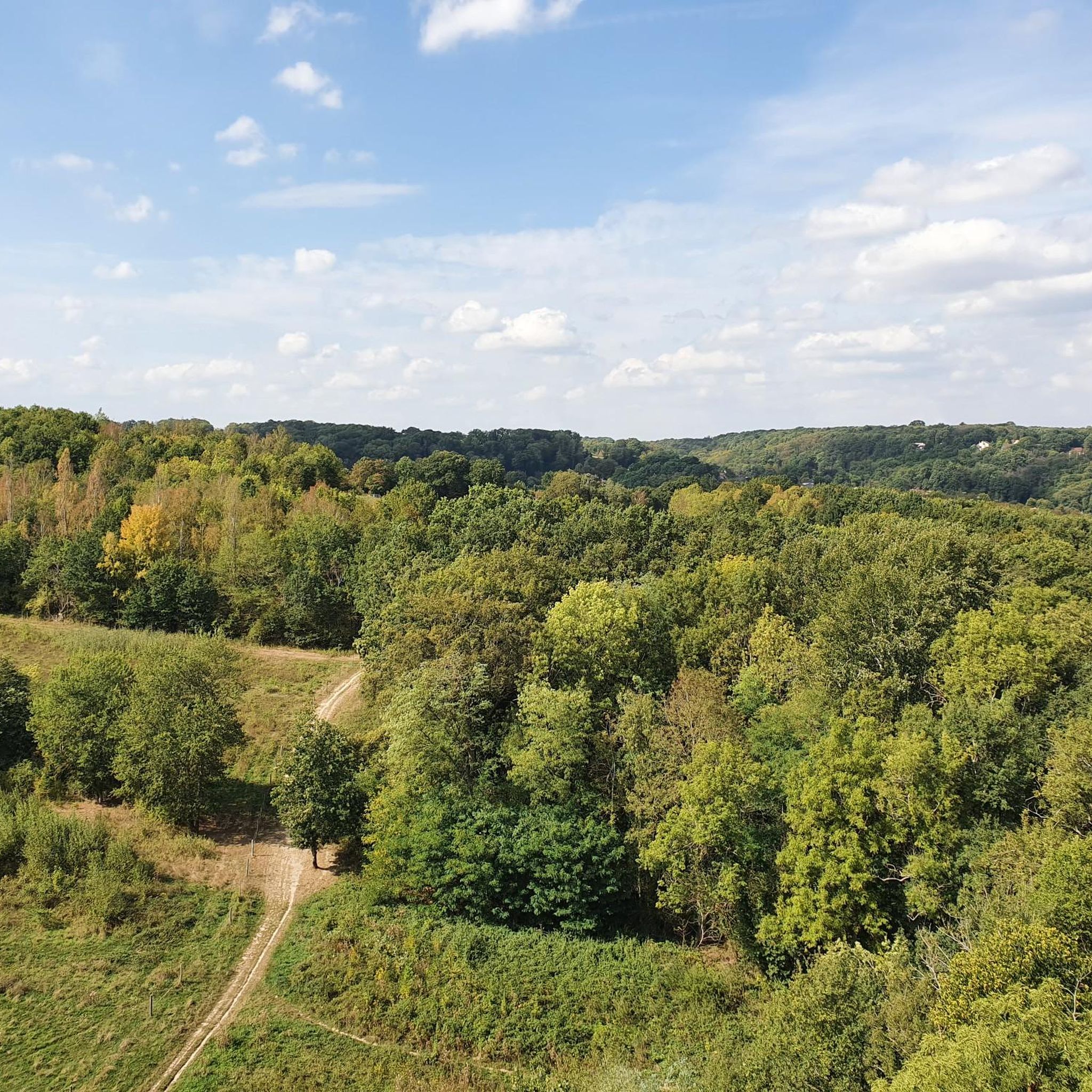
トレヴォワの池
ハイライト • 湖
翻訳者 Google •
役立つ情報 は

今すぐサインアップして、こんな場所を発見しよう
最高のシングルトラック、ピーク、その他のエキサイティングなアウトドアスポットのおすすめを受け取ろう。
カルージュ池
ハイライト • 湖
翻訳者 Google •
役立つ情報 は

サン=ミシェル=シュル=オルジュ盆地
ハイライト • 湖
翻訳者 Google •
役立つ情報 は


無料アカウントで今日から始めよう
次の冒険が待っています。

コミュニティからのヒント

Late afternoon bike ride: Magnificent track and path...in dry weather.
0
0
Viltain Farm then the singletrack further west is a little paradise. Landslide (04/2025) on the way back
0
0

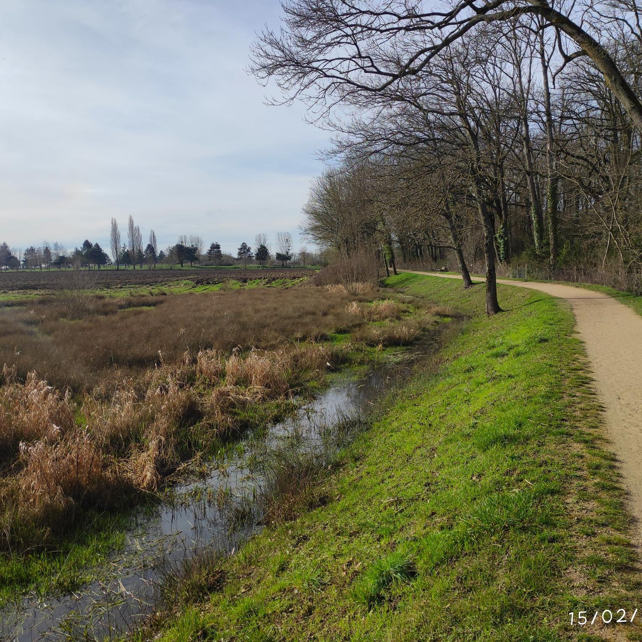
The Carouge basin is the point of convergence of the Orge, Blutin, Salmouille and Boële. The basin was dug in the 1970s to extract materials for road construction, and also to manage the floods of the Orge. Here you can see many species of birds, such as seagulls, cormorants and ringed plovers depending on the season. The path along the basin is safe and flat.
1
0

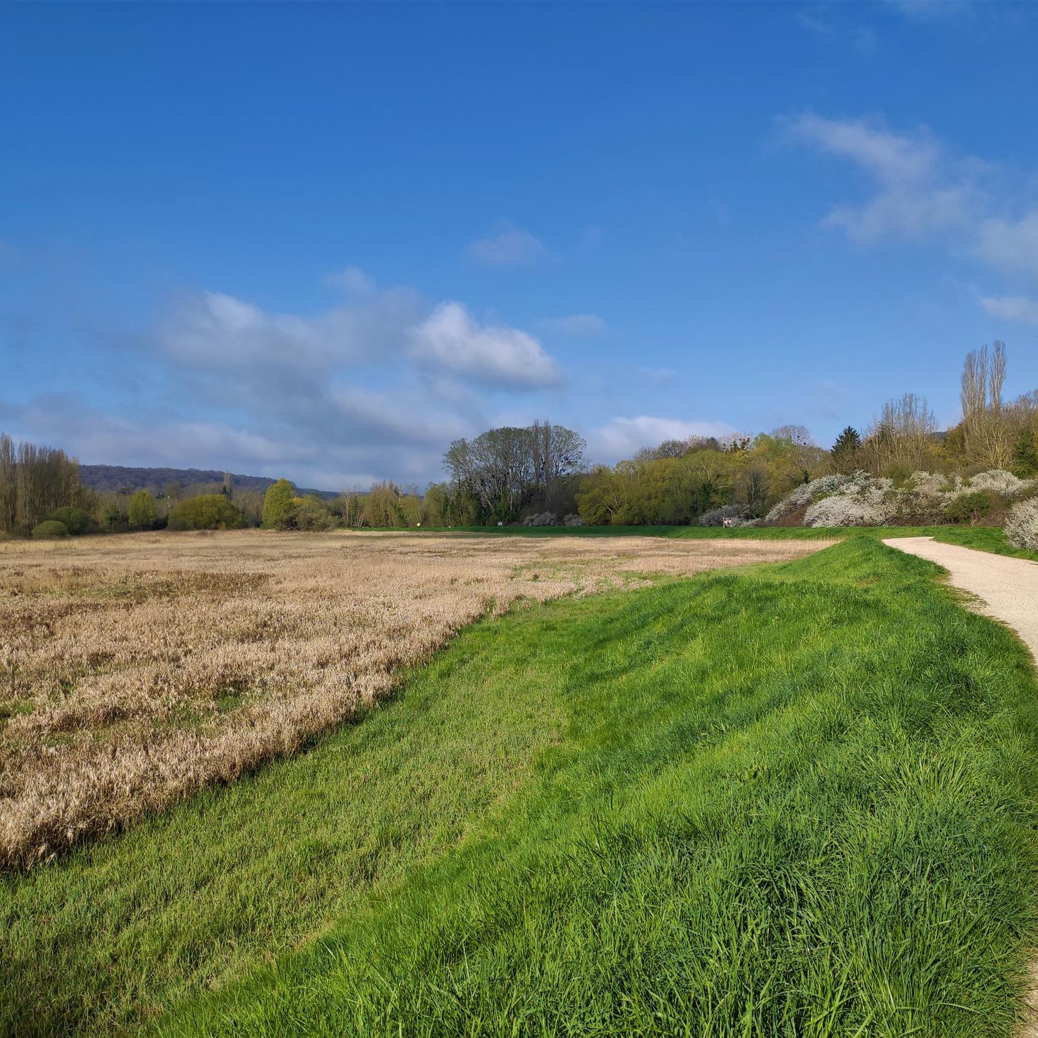
The Saint-Michel-sur-Orge basin is a peaceful place surrounded by greenery, ideal for a walk or a relaxing break in the heart of nature. Located on the edge of the city, this basin offers a pleasant setting with its shaded banks. The paths that surround it allow you to appreciate the tranquility of the place and observe the local fauna, in particular the birds that come to land on the water.
1
0
If it weren't for the planes arriving or coming from Toussus le noble, it would be paradise. You must choose your schedule carefully to limit this noise pollution as best as possible.
0
0

History of the work 15th century: Construction as a water supply reserve for a mill 1930: Breakup 1930s: Reconstruction 1990: Diagnosis 1993: Rehabilitation of the banks (with a drop in the water level of the lake by approximately 1 m for the work) 2003: Geotechnical study of the downstream wall with recommendations for work (drop in level of approximately 15 cm) 2004: Work to repair cracks 2007: Replacement of movement tracking markers 2019: Bathymetry / sampling and analysis of sediment and water quality 2020: Draining / cleaning / diagnosis
0
0

Small green setting nestled between agricultural land and barn. As a bonus, a beautiful flowering of hyacinths to be seen until mid-April.
0
0
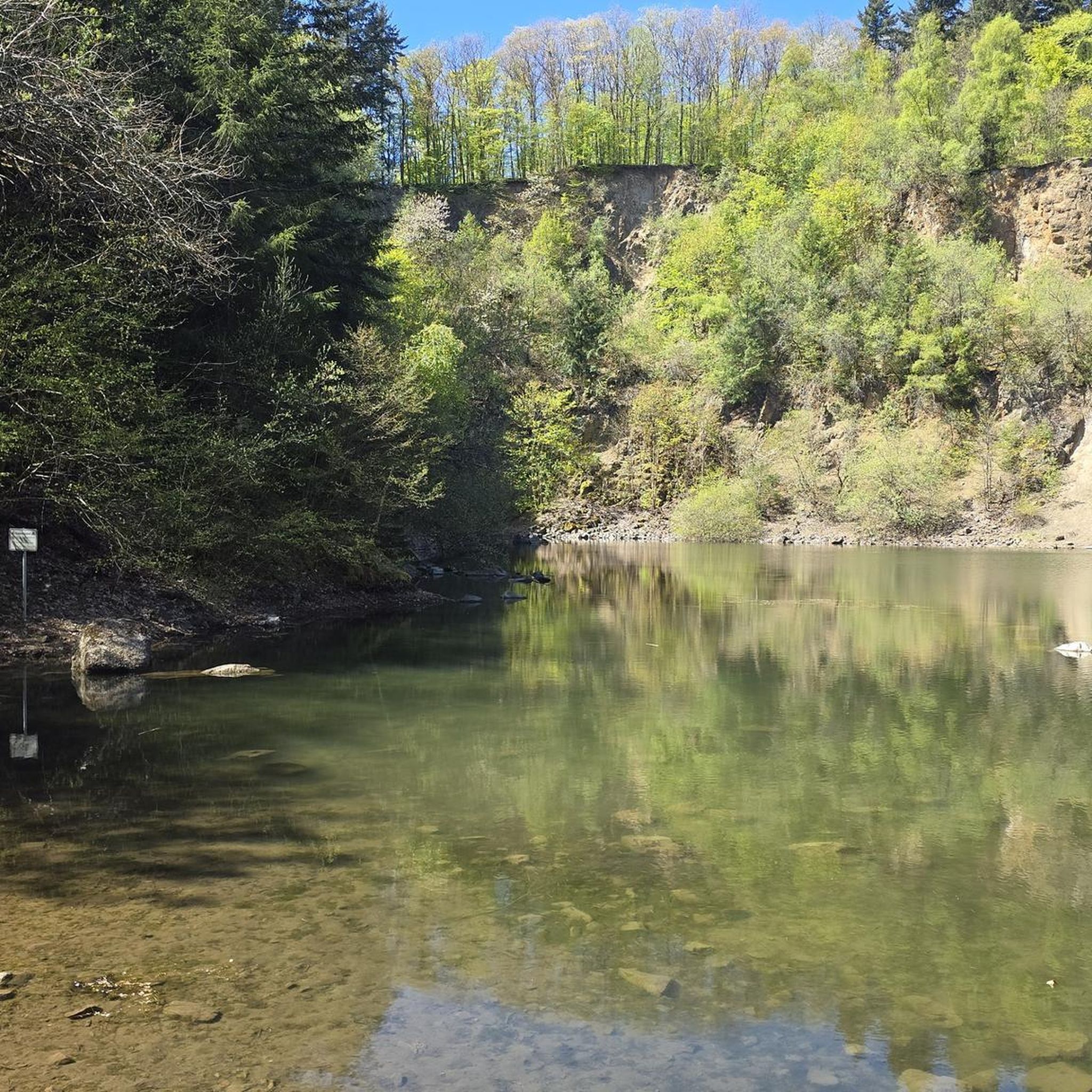
The natural treasures of the Parc des Côtes Montbron: Located in the town of Jouy-en-Josas, the Parc des Côtes Montbron, acquired by the Department for sensitive natural areas, has been open to the public since April 2011. Hikers and nature lovers can enjoy a break idyllic in the heart of this exceptional site. It was part of the estate of the Château du Parc des Côtes Montbron, which became a center for infantile cardiology in 1952, belonging to the Mallet family, who had the château built between 1872 and 1875. This hidden valley reveals its stream, the Ru Saint, to the walker. Marc, and its three ponds bordered by meadows and woods. This mosaic of natural environments gives it great ecological wealth. It also offers a bucolic setting allowing a total change of scenery, while being located a few kilometers from Paris. It is also accessible by public transport (Petit Jouy station served by line C of the RER). The Department has created three new entrances, providing access to 2.5 km of trails through the site. The CODERANDO des Yvelines has put in place the markings for the GR® of the Ile de France region which crosses the site. This route is decorated with information panels on the themes of the landscape, flora and aquatic environments. (https://www.yvelines-infos.fr)
3
0
レ・ユリでのの人気観光スポット

komootモバイルアプリでインスピレーションを得よう


さらに探索
まだ完璧な湖が見つかりませんかレ・ユリでの?これらの地域のガイドをチェックして、さらに美しい場所を見てみましょう。
