リオマッジョーレの絶景の山頂・トップ3
絶景を目指して登るのであれ、達成感のために登るのであれ、山頂を訪れることで、リオマッジョーレの美しい自然をもっと満喫することができます。3
もの選択肢の中から、制覇する山頂を決めるのは簡単ではありません。スムーズに次の冒険で目指す山頂を選べるように、リオマッジョーレの素晴らしい山頂をこのガイドにまとめました。
最終更新日: 10月 16, 2026
プレーヴォ — 青い小径(Sentiero Azzurro)の最高地点
ハイライト • 山頂
役立つ情報 は

モンテ・クローチェ
ハイライト • 山頂
翻訳者 Google •
役立つ情報 は

今すぐサインアップして、こんな場所を発見しよう
最高のシングルトラック、ピーク、その他のエキサイティングなアウトドアスポットのおすすめを受け取ろう。
モンテ・アルベレート
ハイライト • 山頂
翻訳者 Google •
役立つ情報 は

モンテ・モンテネグロからのモンテロッソとレヴァントの眺め
ハイライト • 展望台
翻訳者 Google •
役立つ情報 は

サンタ・クローチェ礼拝堂
ハイライト • 宗教的な場所
翻訳者 Google •
役立つ情報 は



コミュニティからのヒント

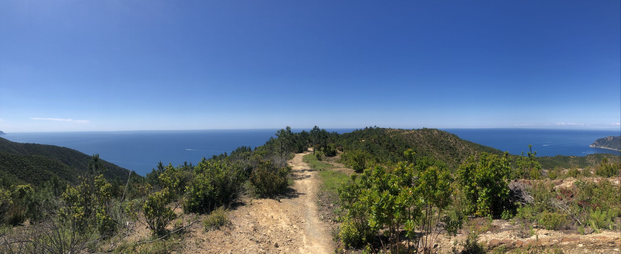
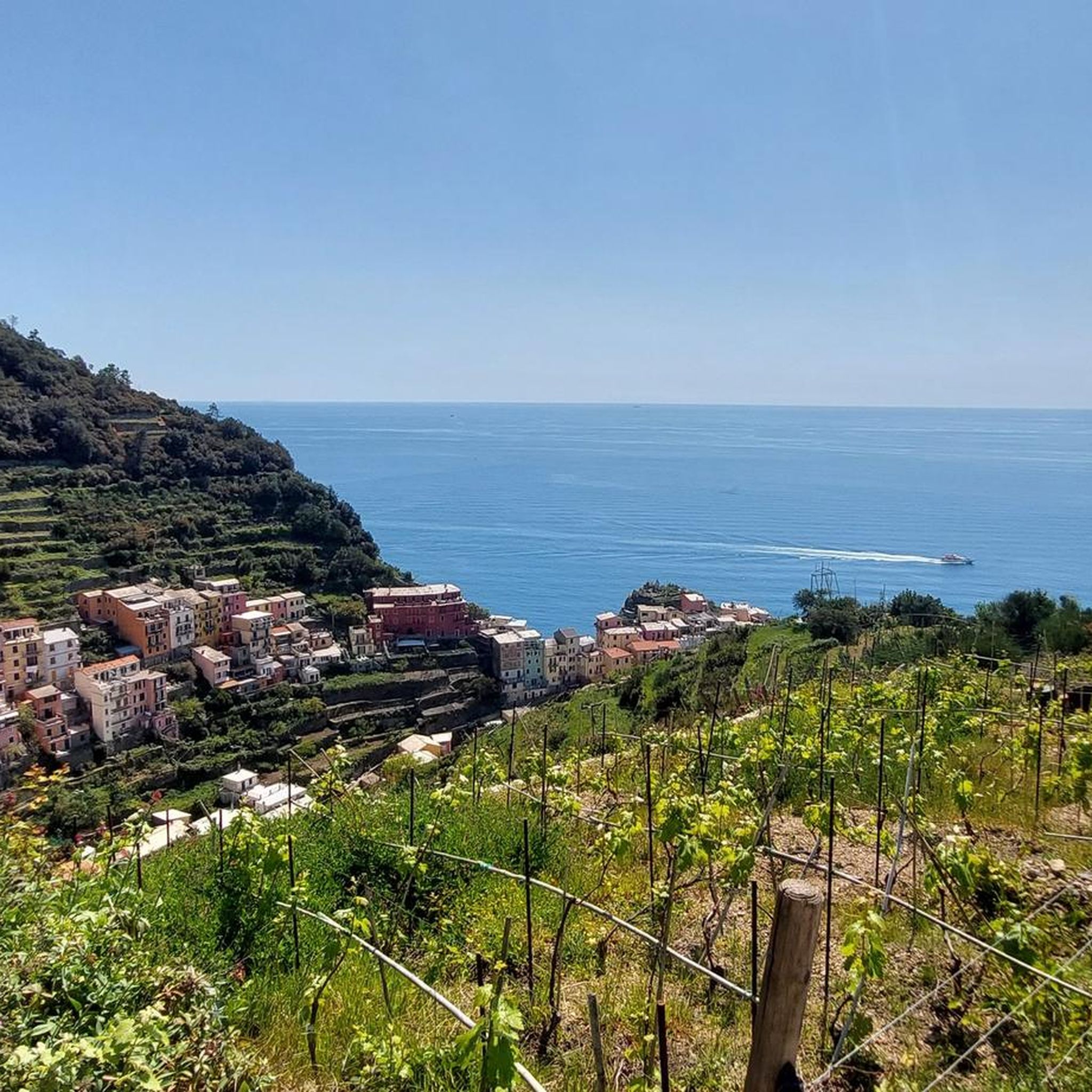
Prevo is a small hamlet of Vernazza located right in the center of the Cinque Terre National Park, along the blue (Sentiero Azzurro), 1.5 km from Corniglia and 1.3 km from Vernazza. It is located at the highest and most impressive point at 208 meters above sea level from which you can enjoy an unparalleled view of Corniglia and Manarola. Prevo was built at the beginning of the 16th century, by some families of shepherds who came from the mountains inland to spend the winter with their flocks. They had estimated that the area was among the warmest of the Cinque Terre, so that the basin that descends to the left from Prevo to the beach of Guvano and Punta Palma on the right, is still called "L'Inferno". On clear days, thanks to its position, Prevo is an excellent observation point from which you can see the island of Isola D'Elba, Gorgona, Capraia and Cap Corse (Corse, France). https://www.theheartofcinqueterre.com/
0
0

The Oratory of Santa Croce is located on the mountain of the same name at 621 m above sea level, near the important natural ridge road, very popular in the year 1000, in particular by the Genoese in their expansion towards Eastern Liguria and for this reason also called Via dei Genovesi. The construction period and the first description of the Oratory of Santa Croce can be deduced from the text relating to the apostolic visit made by Mons. Peruzzi in 1584.
4
0

It was interesting to see where we were even if it is not really representative of the relief it is always cool to find that on our route.
0
0

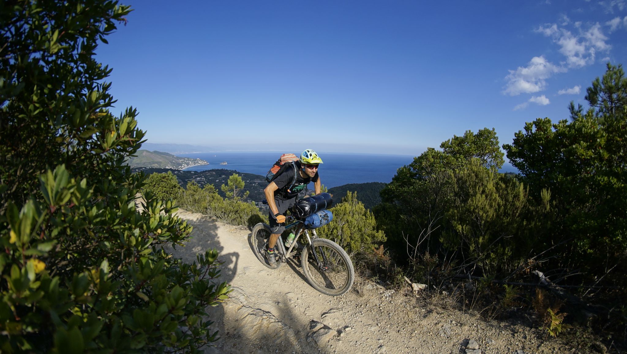
When you're pedaling uphill, stop and look!
0
0

Cima Montenegro (445 m) overlooks the Cinque Terre and offers a splendid view of Monterosso and Levanto.
0
0

The 610 meter high Monte Croce offers a good view from Liguria to Tuscany. Next to the stone building, a cross marks the summit
0
0

Every place in the 5 lands is definitely fantastic and this is one of them, to recommend the passage if you happen to be nearby
1
0

Here you can take a break and enjoy the view on a veranda. In order to have permission to sit on the porch, you have to buy a drink or a bite to eat further downstairs ... but it's worth it. The view is even more beautiful with an espresso or a cold drink :-).
0
1
リオマッジョーレでのの人気観光スポット

komootモバイルアプリでインスピレーションを得よう


さらに探索
これらのガイドでさらに素晴らしい頂上を見てみましょうリオマッジョーレでの:
