ルートプランナー機能アップデート
App
ログインまたはサインアップ
アプリを入手
ログインまたはサインアップ
ルート
Places to see
Lakes
ドイツ
テューリンゲン

ザールフェルト・ルドルシュタット

ルート
Places to see
Lakes
ドイツ
テューリンゲン

ザールフェルト・ルドルシュタット

ザールフェルト・ルドルシュタットの湖・トップ20

次の冒険でザールフェルト・ルドルシュタットの素晴らしい湖を訪れてみませんか?湖畔の穏やかな雰囲気や、天気が良い日のひと泳ぎは格別です。komootコミュニティがおすすめするザールフェルト・ルドルシュタットの素晴らしい湖の一覧を参考にして、次の冒険では湖をもっと満喫しましょう。

最終更新日: 10月 28, 2026

レーヘステンのゲーペルシャハト施設

ハイライト • 記念碑

The Göpel shaft system, unique in Europe, is the heart of the “Historic Lehesten Slate Mining” monument ensemble and the trademark of the slate park.
The Göpel shaft system was …

翻訳者 Google •

役立つ情報 は

によるものです

ここでのハイキングを見るスマートフォンに送信
保存
In the "Land of Blue Gold," as the slate is called here because of its distinctive color, the tradition of Thuringian-Franconian slate mining can still be experienced today. This extraordinary …

翻訳者 Google •

役立つ情報 は

によるものです

保存

今すぐサインアップして、こんな場所を発見しよう

最高のシングルトラック、ピーク、その他のエキサイティングなアウトドアスポットのおすすめを受け取ろう。

無料新規登録

ホーエンヴァルテ・ダム

ハイライト • 記念碑

This 75 meter high and 412 meter long dam was built between 1936 and 1942. This required 250 people to give up their homes - an entire village was flooded …

翻訳者 Google •

役立つ情報 は

によるものです

保存
A detour here is definitely worth it! The view is terrific. There is a bench directly behind the hut with a view of the dam. Simply wonderful! Let your mind wander!

翻訳者 Google •

役立つ情報 は

によるものです

保存

ライビス=リヒテダム

ハイライト • 記念碑

The small "detour" from the Fröbelturm to the dam was worth it. An impressive backdrop. A beautiful circular hiking trail from Lichtenhain via Oberweißbach/Froebelturm to the dam and back through …

翻訳者 Google •

役立つ情報 は

によるものです

保存

アイヒヒトダム

ハイライト • 記念碑

From the Eichicht dam you have a fantastic view of the Saale, which is dammed here. The dam itself is the final structure of the Saale cascade in the Obere Saale dam system.

翻訳者 Google •

役立つ情報 は

によるものです

保存

ライヒェンバッハー池

ハイライト • 湖

The Reichenbach Pond is idyllically situated in the middle of the forest and belongs to the local fishing club. A lovingly designed fishing hut with a covered terrace and some …

翻訳者 Google •

役立つ情報 は

によるものです

保存

エンゲルダダム

ハイライト • 湖

The Engerda dam is more of a puddle ... hhhmm well, let's say a pond ... the dam is already exaggerated. Bathing forbidden!

翻訳者 Google •

役立つ情報 は

によるものです

保存
This tour takes you to Germany's last built dam for the time being.
With a height of 102.5 m, the dam is one of the highest in the country.
East …

翻訳者 Google •

役立つ情報 は

によるものです

保存

Drachenschwanz レイクサイドビーチ

ハイライト • ビーチ

Here you can find a spot for swimming or for a picnic.

翻訳者 Google •

役立つ情報 は

によるものです

保存

無料でサインアップして、さらに多くの湖を発見しましょう ザールフェルト・ルドルシュタットでの。

無料新規登録

すでにアカウントをお持ちですか?

無料アカウントで今日から始めよう

次の冒険が待っています。

ログインまたは登録

ザールフェルト・ルドルシュタット周辺で人気

ハイク ドイツの Feengrotten Kyffhäuserweg
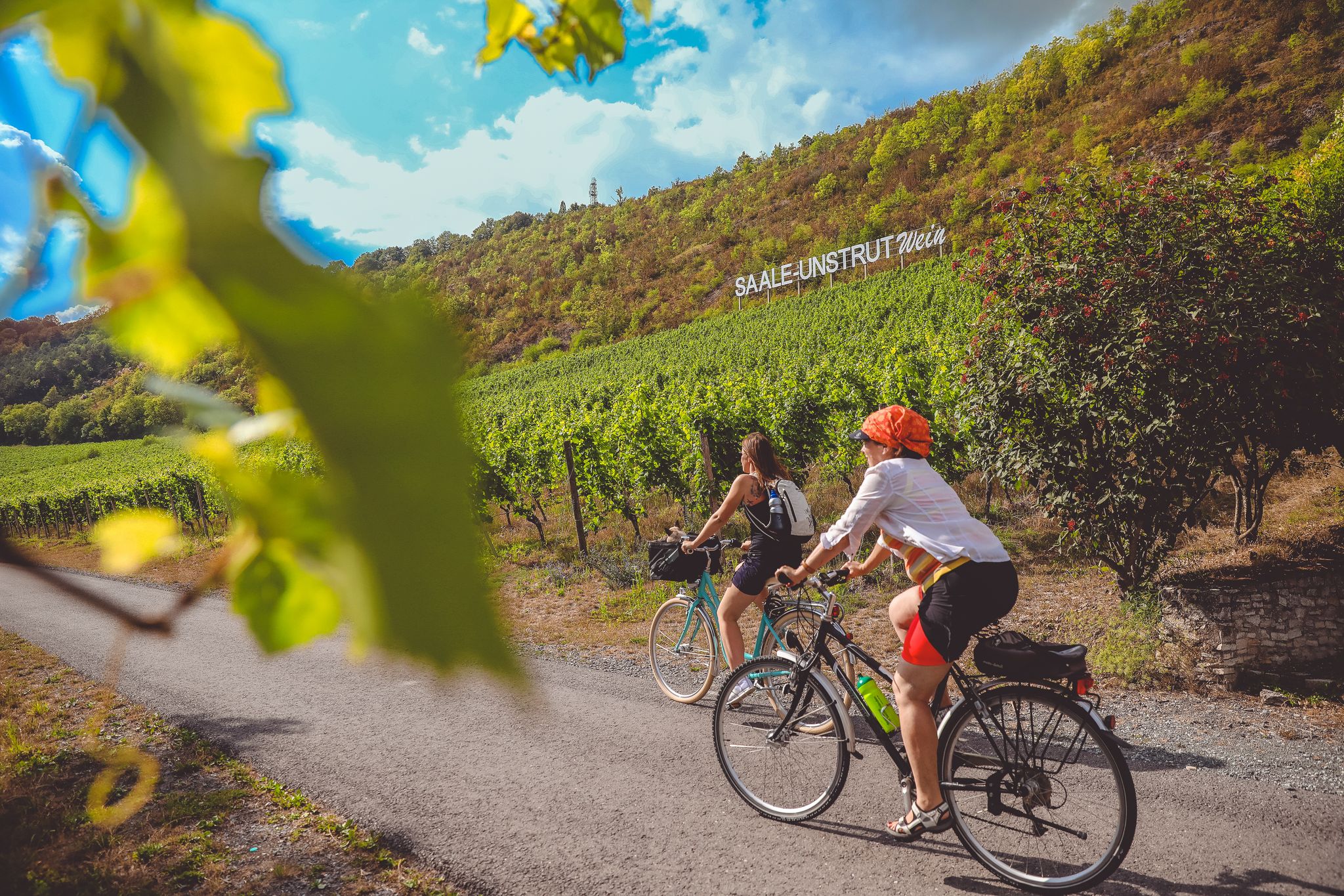
ザーレサイクルパス パート2 – 川沿いの文化と自然

テューリンゲン周辺 — ドイツの緑の心臓を通る7つのステージ
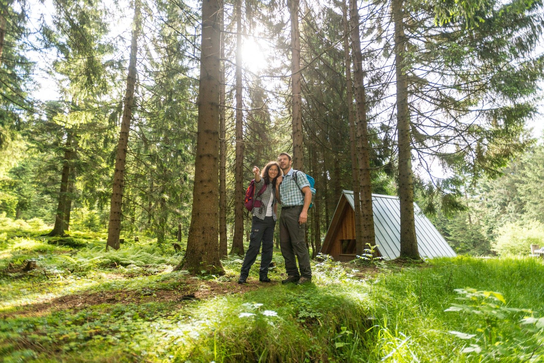
ザ・レンシュタイク — テューリンゲンの最も美しいハイキングルート
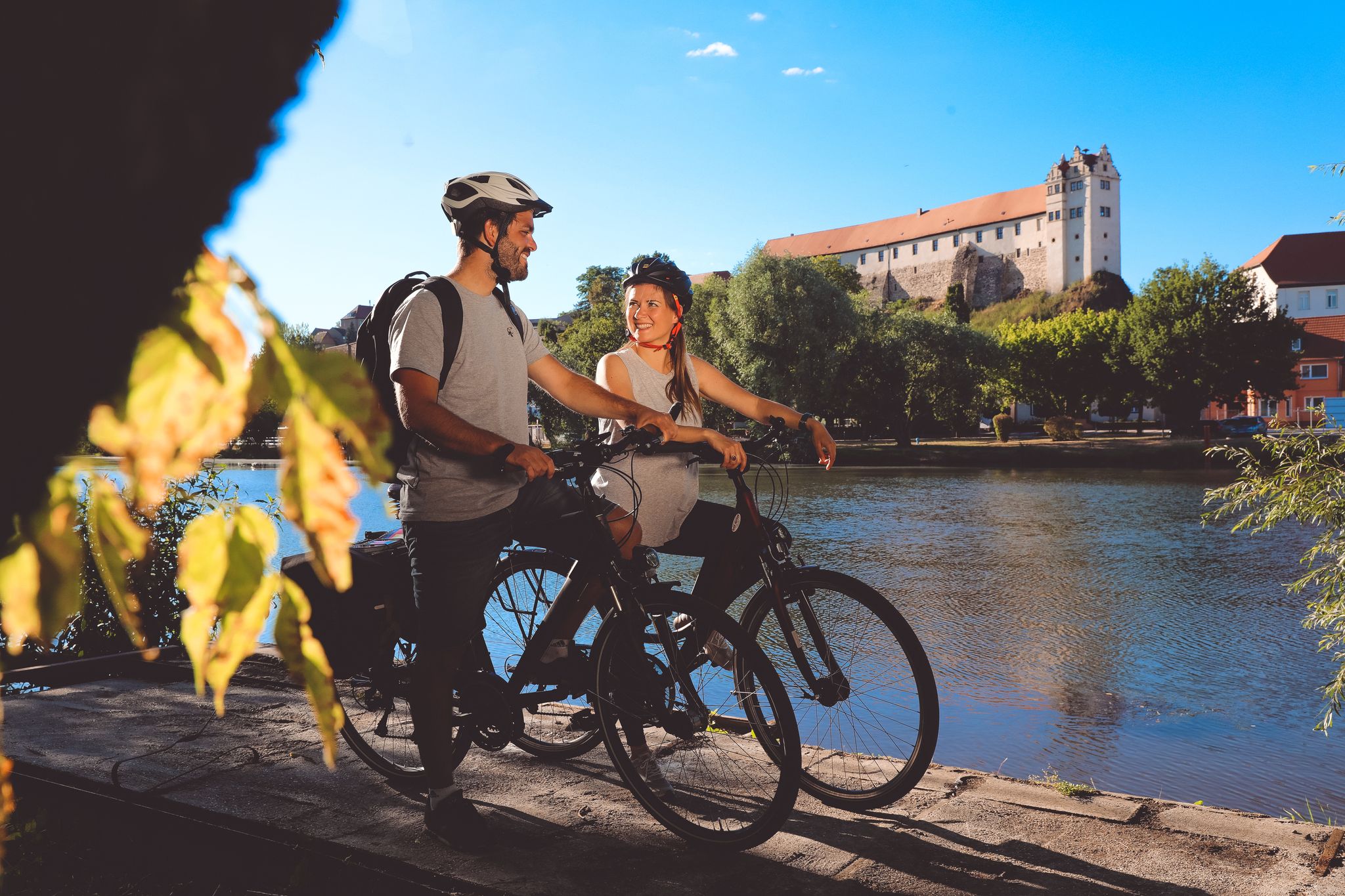
サーレサイクルパス — サーレの源流からエルベまでの9ステージ
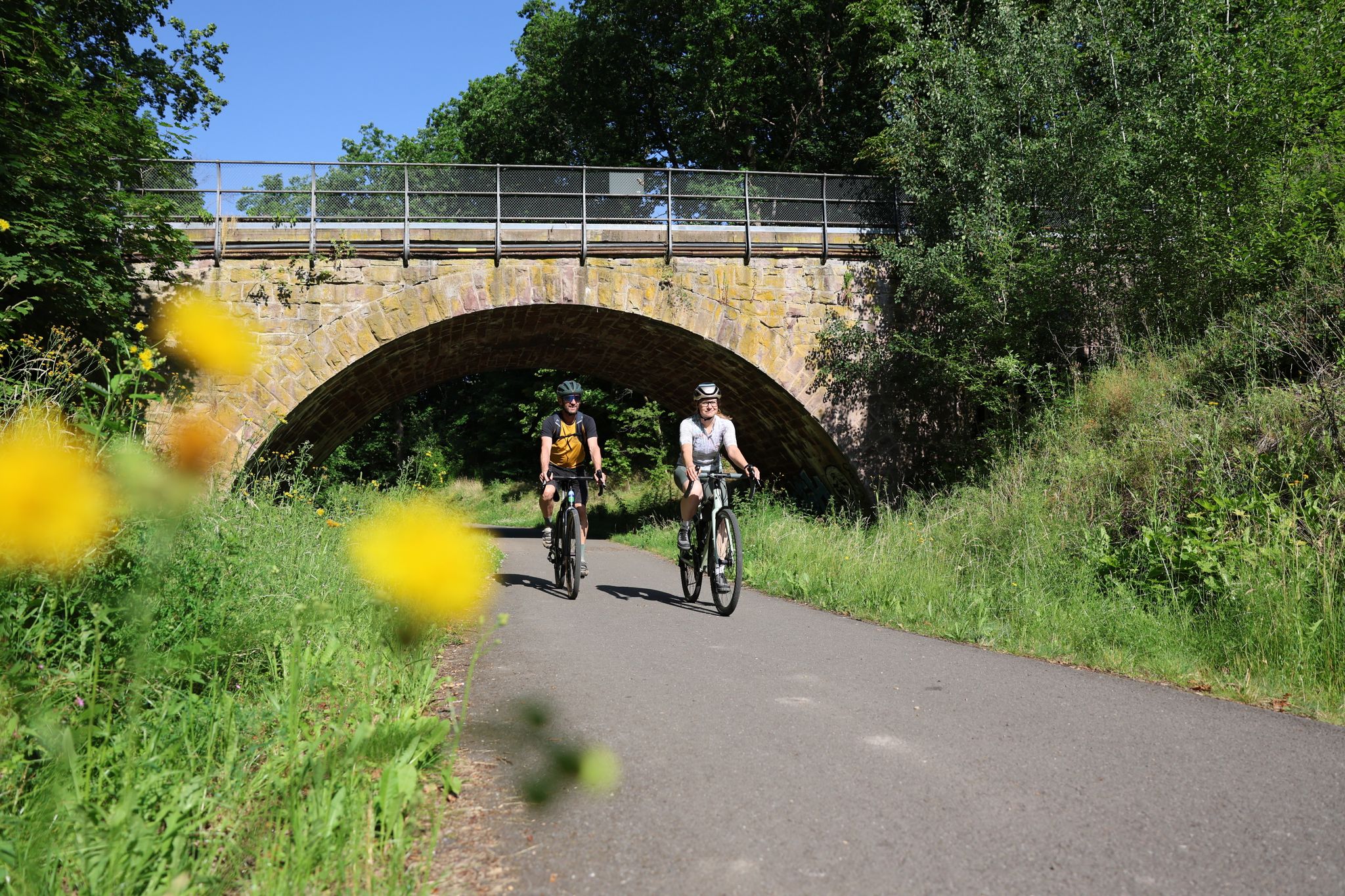
Gravel adventures in the Thuringian Forest
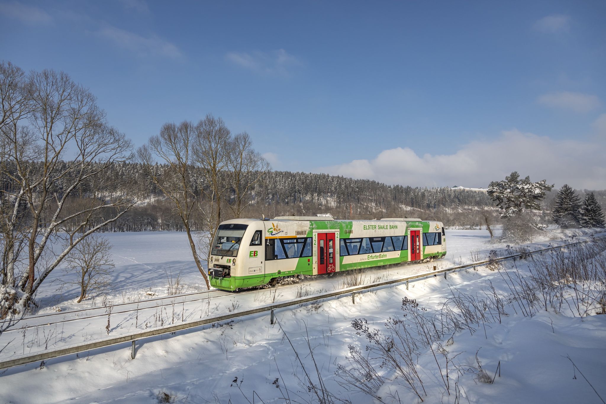
Discover Thuringia – winter hiking with the Erfurter Bahn
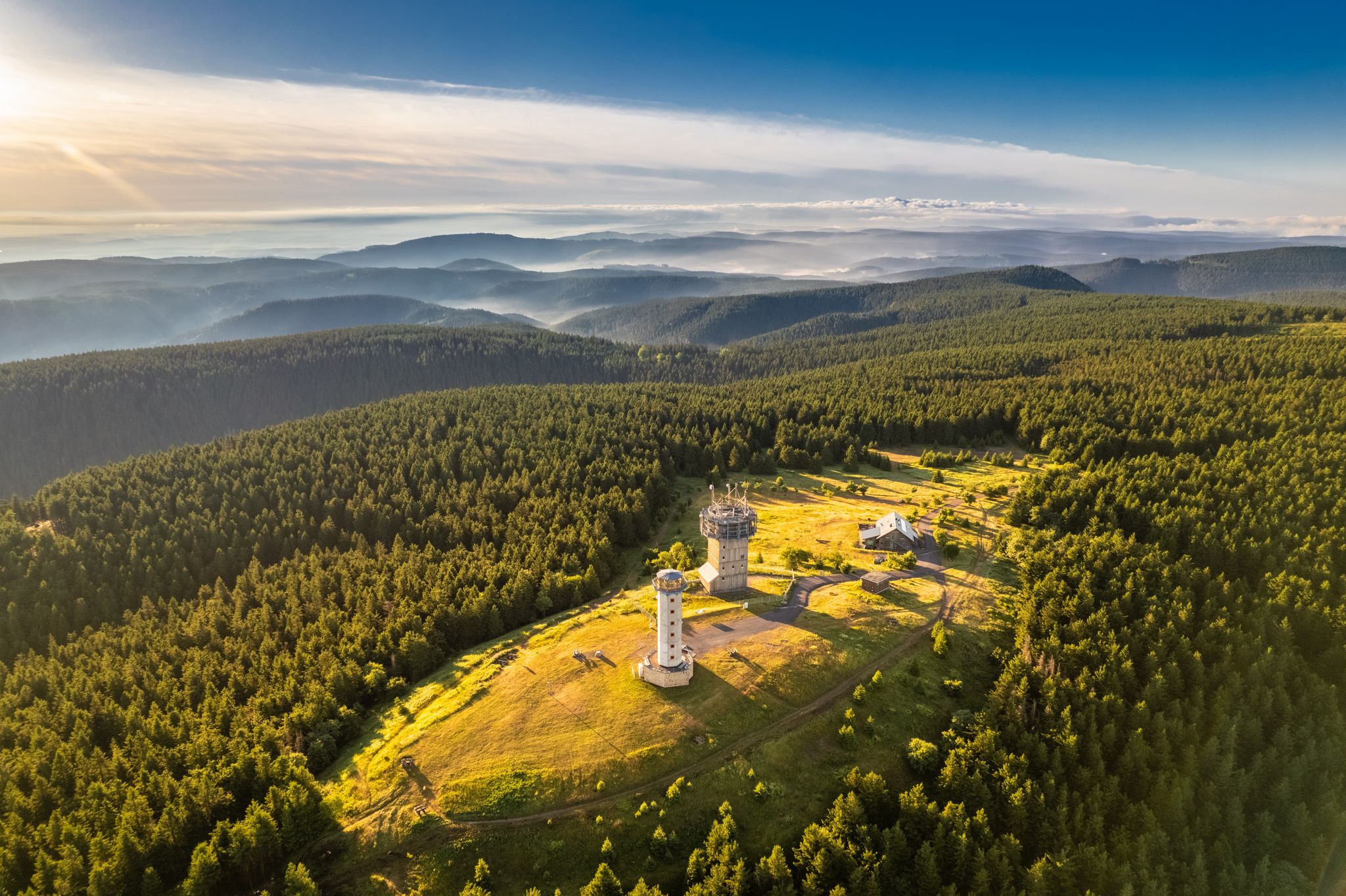
Forest, vastness and water – day trips in the Thuringian Forest
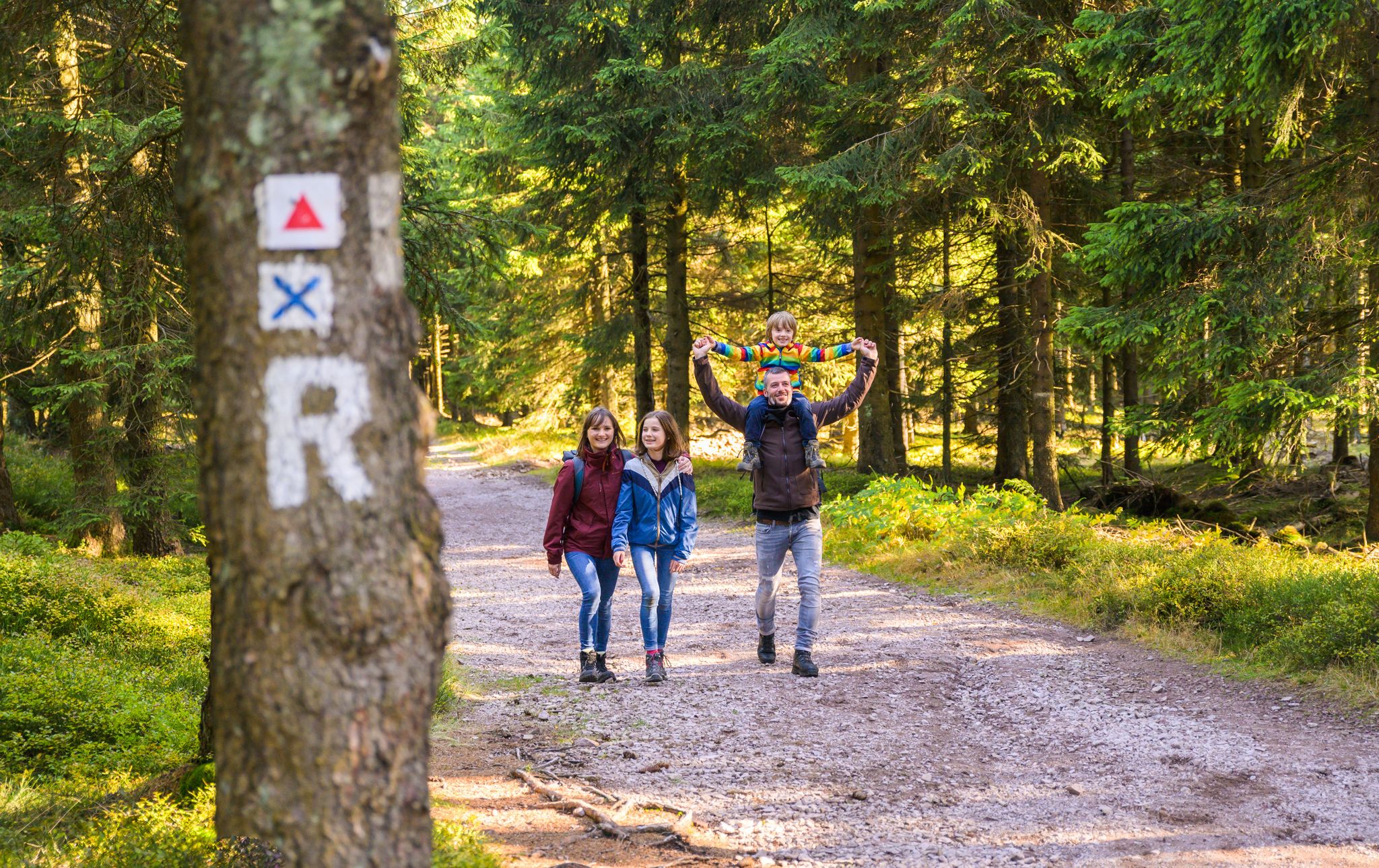
Play, nature and good fun – family hikes in the Thuringian Forest
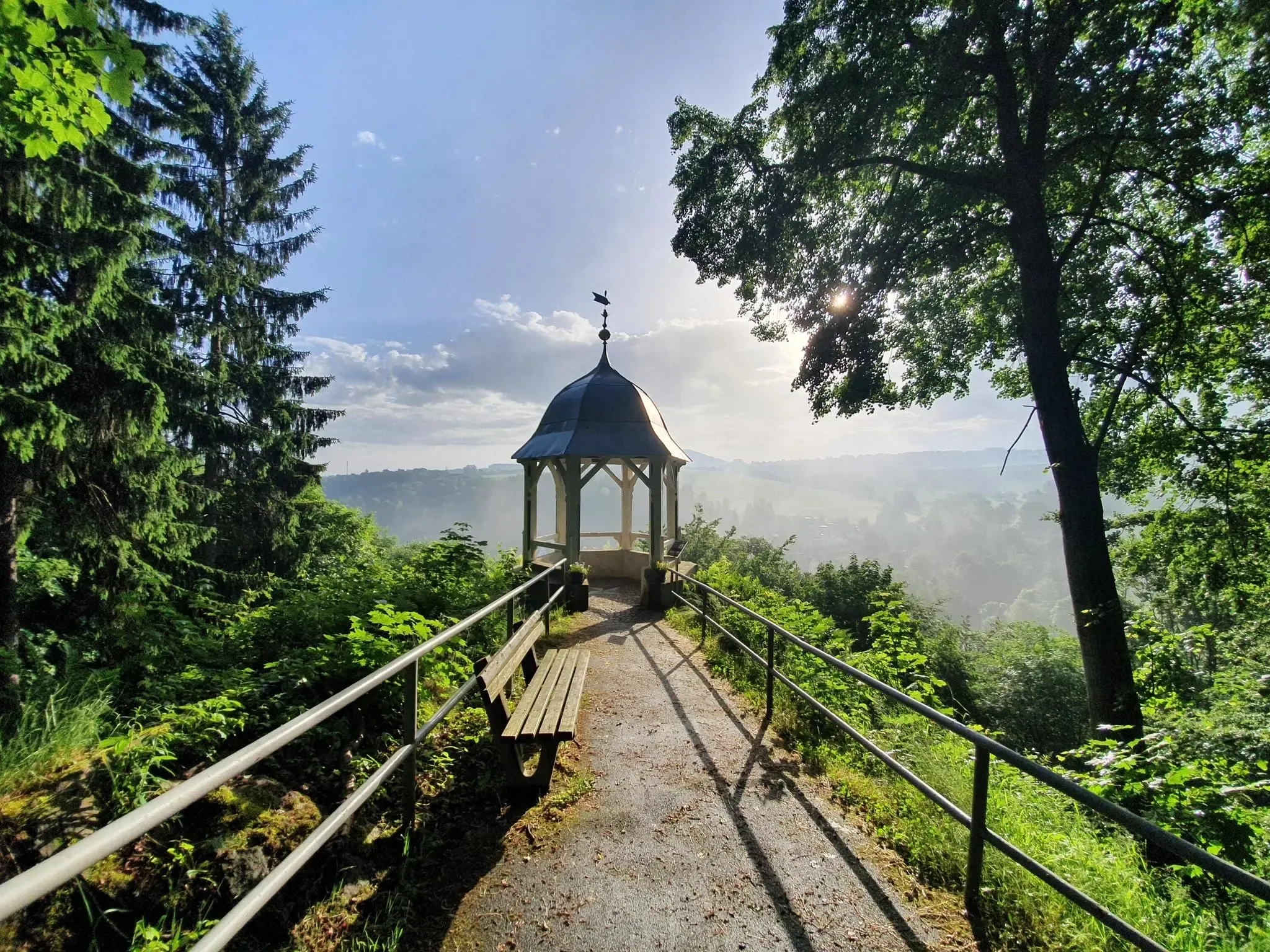
#GoFurther – discover the views of Germany!

ザールフェルト・ルドルシュタットでのの他の冒険

ハイク ドイツの Feengrotten Kyffhäuserweg

ハイキングのコレクション によって

Saale-Unstrut

コミュニティからのヒント

Anke Duderstadt
3月 9, 2026, Talsperren Rundweg Leibis/Lichte

A wonderful destination for a day trip and highly recommended.

Google翻訳による翻訳•

0

0

I actually think a photo is worth it too.

Google翻訳による翻訳•

1

0

This was our starting point for the circular tour. Amazing from below, it looks even more impressive from above! Looking down gives you a thrill :) The dam is open from 9 a.m. to 7 p.m. A stamping station is available for tours.

Google翻訳による翻訳•

3

0

The dam is rather unspectacular. The path along the west side of the reservoir is also not worth the effort. The view of the lake is usually blocked by trees, even in winter, as the trees are so densely packed that the trunks obscure the view.

Google翻訳による翻訳•

2

1

This is the former Lehesten roofing slate opencast mine. Its dimensions alone are impressive; along with the nearby Oertelsbruch, it was one of the largest slate quarries on the continent (approximately 800 m long, 300 m wide, and up to 80 m deep). Source: Wikipedia

Google翻訳による翻訳•

10

1

A beautiful region 🤩 If you like, you can also take a detour to the Alvater Tower.

Google翻訳による翻訳•

20

2

Beautiful paths also by bike

Google翻訳による翻訳•

1

0

many small idyllic bathing bays - wonderful!

Google翻訳による翻訳•

0

0

ザールフェルト・ルドルシュタットでのの人気ルート

ザールフェルト・ルドルシュタットのファミリーハイキング

ザールフェルト・ルドルシュタットでのの人気観光スポット

Places to see

Store rating

komootモバイルアプリでインスピレーションを得よう

無料のkomootアカウントがあれば、無限のアウトドアコースを簡単に見つけてカスタマイズし、ナビで案内できます。

または

今すぐkomootに参加しよう
Store rating

探していたものは見つかりませんでしたか?

地域ごとの最高の湖を見つけましょうザールフェルト・ルドルシュタットでの:

ルドルシュタットグレフェンタールベヒシュテットメレンバッハグラスバッハレムダ・タイヘルUhlstädt-Kirchhaselウンターヴェレンボルンロイテンベルクシュヴァルツブルクダム・レイビス-リヒテドレービシャウクルスドルフリヒテカッツヒュッテカムスドルフウンターヴァイスバッハザールフェルダーヘーエプロプストツェラオーバーハインカウルスドルフシュミーデフェルトデシュニッツライヒマンスドルフドログニッツザールフェルト/ザーレピーザウMeuraケーニヒセロッテンバッハアルテンボイテンMeuselbach-Schwarzmühleオーバーヴァイスバッハ/テューリンゲンヴァルトデースバッハVorsperre Deesbachバートブランケンブルクホーエンヴァルテヴィットゲンドルフジッツェンドルフ

探索できるほかのスポット

ザールフェルト・ルドルシュタットの自然保護区

近くのアドベンチャーガイド

ザールフェルダーヘーエでやるべきこと

background

新しいピークを征服する準備をしよう

無料でサインアップ
探検する
ルートルートプランナー機能バウチャーを利用ハイキングMTBトレイルロードバイクルートバイクパッキングサイトマップ
アプリをダウンロード
SNSでフォローする

© komoot GmbH

プライバシーポリシー