フュンフシュテッテンの湖・トップ20
次の冒険でフュンフシュテッテンの素晴らしい湖を訪れてみませんか?湖畔の穏やかな雰囲気や、天気が良い日のひと泳ぎは格別です。komootコミュニティがおすすめするフュンフシュテッテンの素晴らしい湖の一覧を参考にして、次の冒険では湖をもっと満喫しましょう。
最終更新日: 8月 20, 2026
ロー・ヴァイアー(森の湖)ヴェムディング
ハイライト • 湖
翻訳者 Google •
役立つ情報 は

ドースヴァイアー
ハイライト • 湖
翻訳者 Google •
役立つ情報 は

今すぐサインアップして、こんな場所を発見しよう
最高のシングルトラック、ピーク、その他のエキサイティングなアウトドアスポットのおすすめを受け取ろう。
無料新規登録
ヒュルベと魚の池
ハイライト • 湖
翻訳者 Google •
役立つ情報 は

Gunzenheimer Gump池
ハイライト • 湖
翻訳者 Google •
役立つ情報 は

エーデルワイス道の池のそばのシェルター
ハイライト • 山小屋
翻訳者 Google •
役立つ情報 は

無料でサインアップして、さらに多くの湖を発見しましょう フュンフシュテッテンでの。
無料新規登録
すでにアカウントをお持ちですか?
無料アカウントで今日から始めよう
次の冒険が待っています。
ログインまたは登録
コミュニティからのヒント

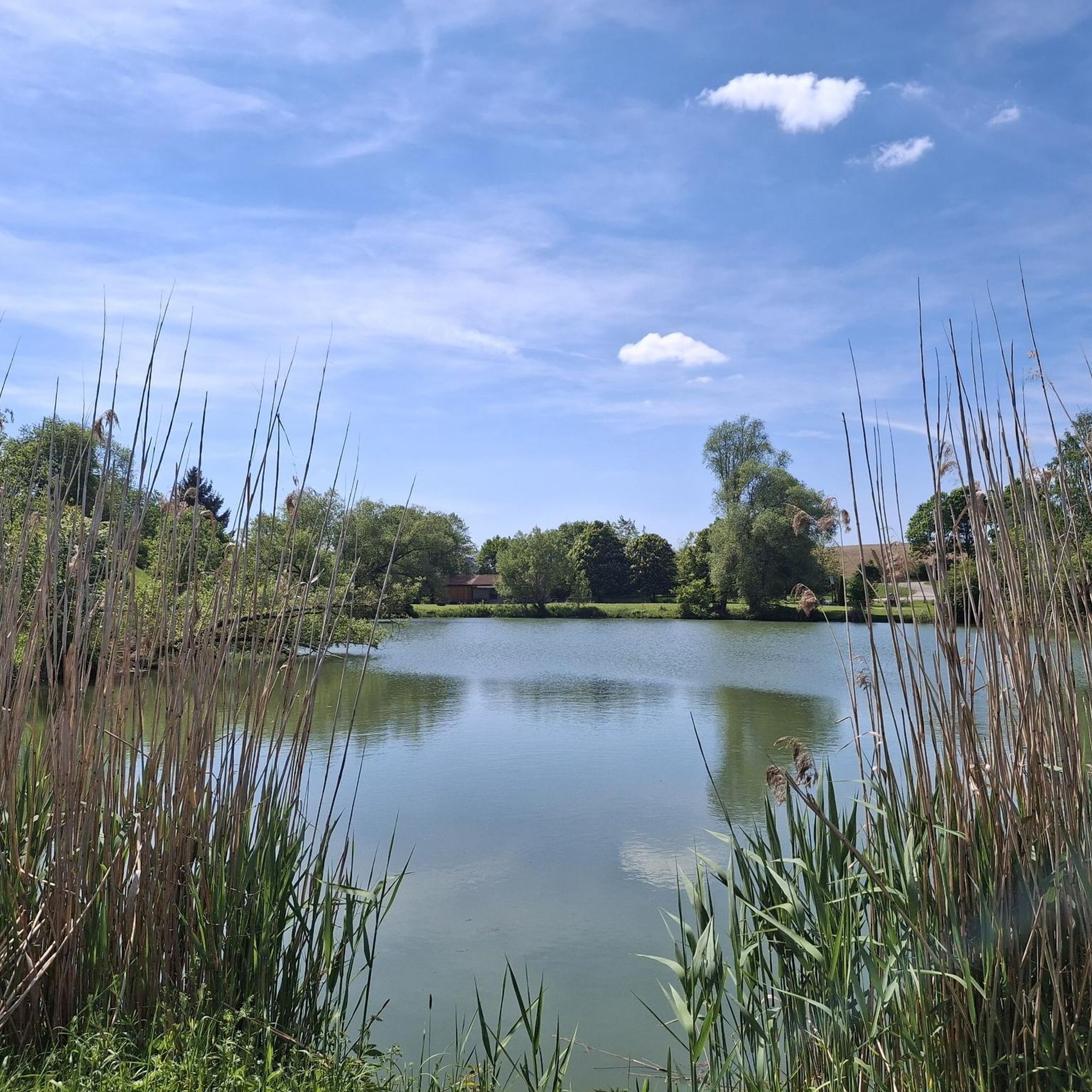
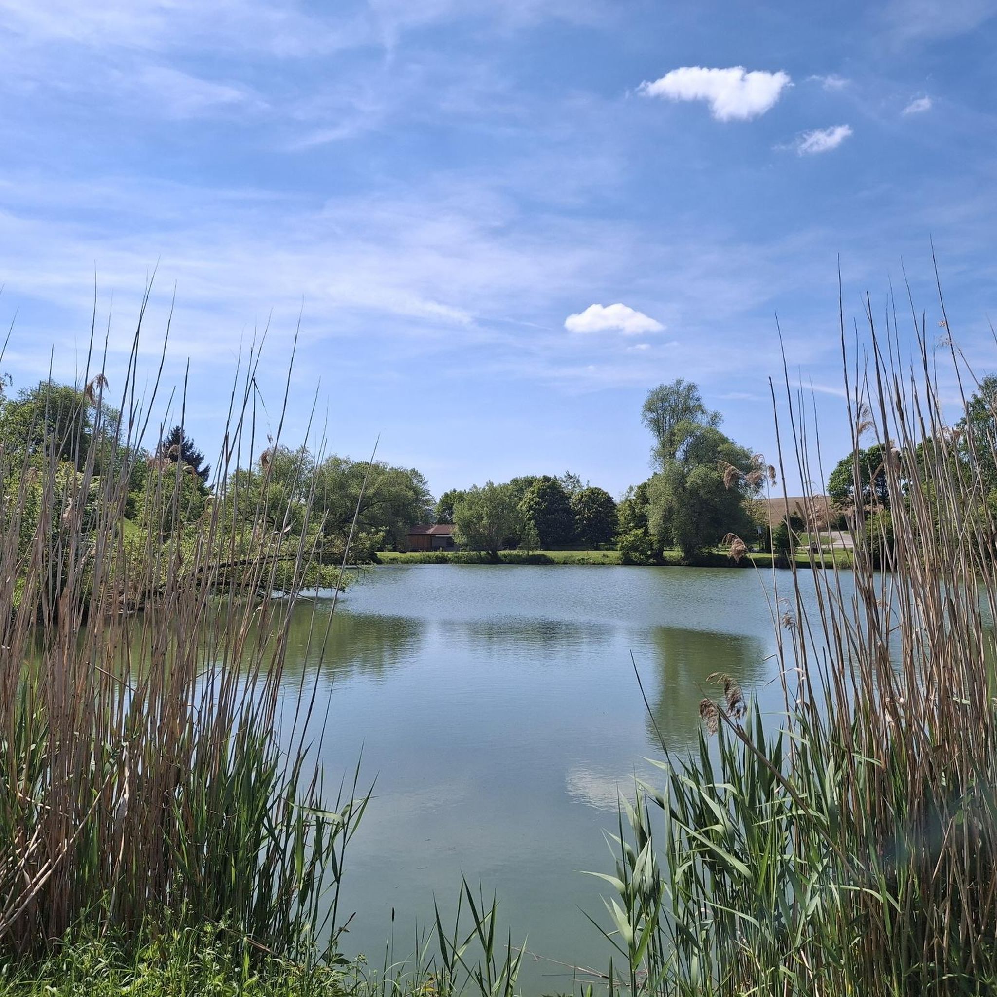
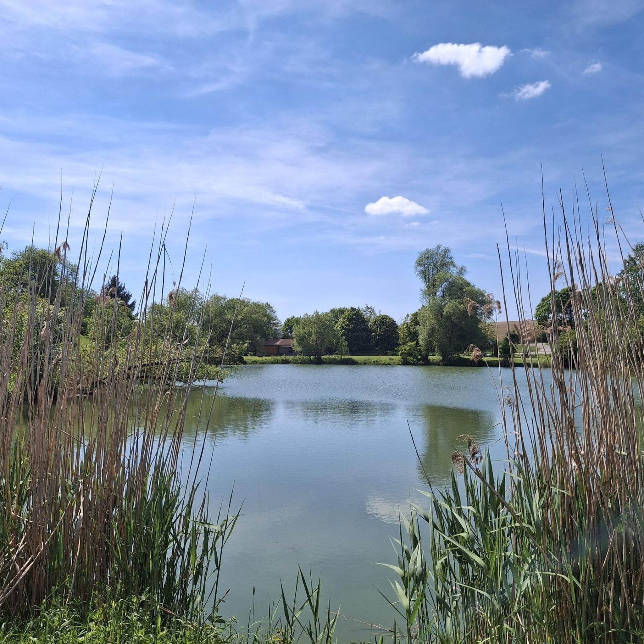
A beautiful lake for swimming, but beavers are also active on its shores.
2
0

It's one of two huts located in the cross-country ski section. The pond is somewhat hidden during the lush vegetation season. Signs with the relevant information can be found near the trees.
1
0
A beautiful view of the pond... The roaring water behind the bench drowns out the twittering of the birds. To get there, you have to bridge a canal about a meter wide.
0
0

Particularly colorful and beautiful in autumn
1
0

A Malm block measuring several thousand cubic meters within the colorful rubble masses in the area surrounding the Nördlinger Ries was used to extract raw materials and was partially mined. A small pond formed in the resulting hollow due to the low water permeability of the surrounding rubble rocks. The outcrop is located about 5.5 km southeast of the crater rim. The Gunzenheimer Gump is a small artificial pond (about 8 m deep), but it could only have been created due to the special geological conditions of its surroundings and human activities. The colorful rubble masses here consisted of large white Jurassic limestone blocks (Malm Delta) and clayey and sandy components from the Triassic and older Jurassic periods (Lias, Dogger). While the clayey-sandy deposits were removed, the more weather-resistant lime remained. The lime was used to build the Kaisheim monastery church. Due to the damming nature of the clays of the colorful rubble masses, water could rise under excess pressure (artesian rising spring) during lime mining and form a pond. The special geological significance of the Gunzenheimer Gump was taken into account in 2004. The Gunzenheimer Gump was included in the official geotope cadastre of the Bavarian State Office for the Environment and was thus awarded the "Geotop" seal of quality. [ Source: https://www.geopark-ries.de/geologische-besonderheit/gunzenheimer_gump-21524/ ]
1
0

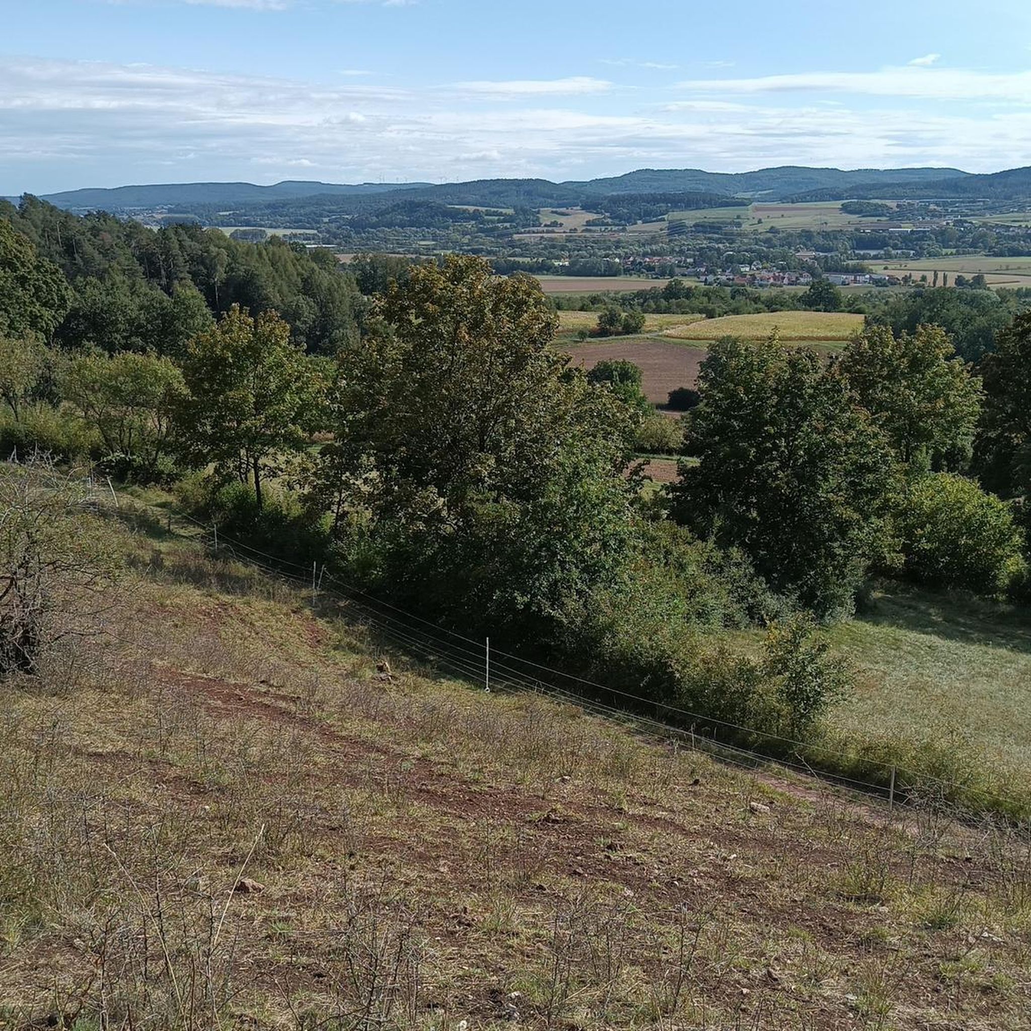
Unfortunately I was only here at the beginning of October, the landscape around the lake is fantastic.
1
0

Coming from Doosweiher, I was missing an arrow today and got lost at the intersection. The path goes across the street and continues there. The arrows were not clear or there were arrows that were not visible due to overgrowth. 🤣
0
0

Hüle, Hülbe or Hüllweiher is a mostly artificially created small body of water on the water-poor plateaus of the Swabian Alb and the Franconian Jura. The still waters are located within built-up areas, in fields and in the forest. The cases were fed by rainwater and lay on natural waterlogged areas. The waters were of great importance as watering places for livestock or for producing industrial water. The Hülen lost their importance with the connection of the Alb settlements to the water supply and today represent unique cultural and historical evidence of the Swabian Alb and the Franconian Jura.
0
0
フュンフシュテッテンでのの人気観光スポット

komootモバイルアプリでインスピレーションを得よう


さらに探索
まだ完璧な湖が見つかりませんかフュンフシュテッテンでの?これらの地域のガイドをチェックして、さらに美しい場所を見てみましょう。
