ブンドルフの絶景の山頂・トップ4
bundorufu no saikō no yama wa, takai topō de wa naku, yūyami ga kakaritsutsu, mori ga oou oka de aru koto ga tokuchō desu. bundorufu shi wa, rhön-zan no tōhō ni hirogaru hassuberuge yama ni kōchi shite imasu. hassuberuge chiku ni okeru mottomo takai ten wa nassaha-he, kaihin yori 512.2 mētoru no takasa ni達します. kono chiiki wa, hassuberuge kokuritsu kōen nai no mori ga oou oka no keshiki o teikyō shi, hōkingu ya shizen o tanoshimu no ni tekiteki desu.
…最終更新日: 9月 16, 2026
ブラムベルク城跡
ハイライト • 城
翻訳を表示中
役立つ情報 は

ラウブヒューゲル
ハイライト • 山頂
翻訳者 Google •
役立つ情報 は

今すぐサインアップして、こんな場所を発見しよう
最高のシングルトラック、ピーク、その他のエキサイティングなアウトドアスポットのおすすめを受け取ろう。
ナッサッハー・ヘーエ(標高512.2m)
ハイライト • 山頂
翻訳者 Google •
役立つ情報 は

山頂の十字架と展望台
ハイライト • 山頂
There is a shelter here and you can see the entire mining area.
翻訳者 Google •
役立つ情報 は
マインベルク山頂からの眺め
ハイライト • 展望台
翻訳者 Google •
役立つ情報 は

無料でサインアップして、さらに多くの山を発見しましょう ブンドルフでの。
すでにアカウントをお持ちですか?
無料アカウントで今日から始めよう
次の冒険が待っています。

コミュニティからのヒント

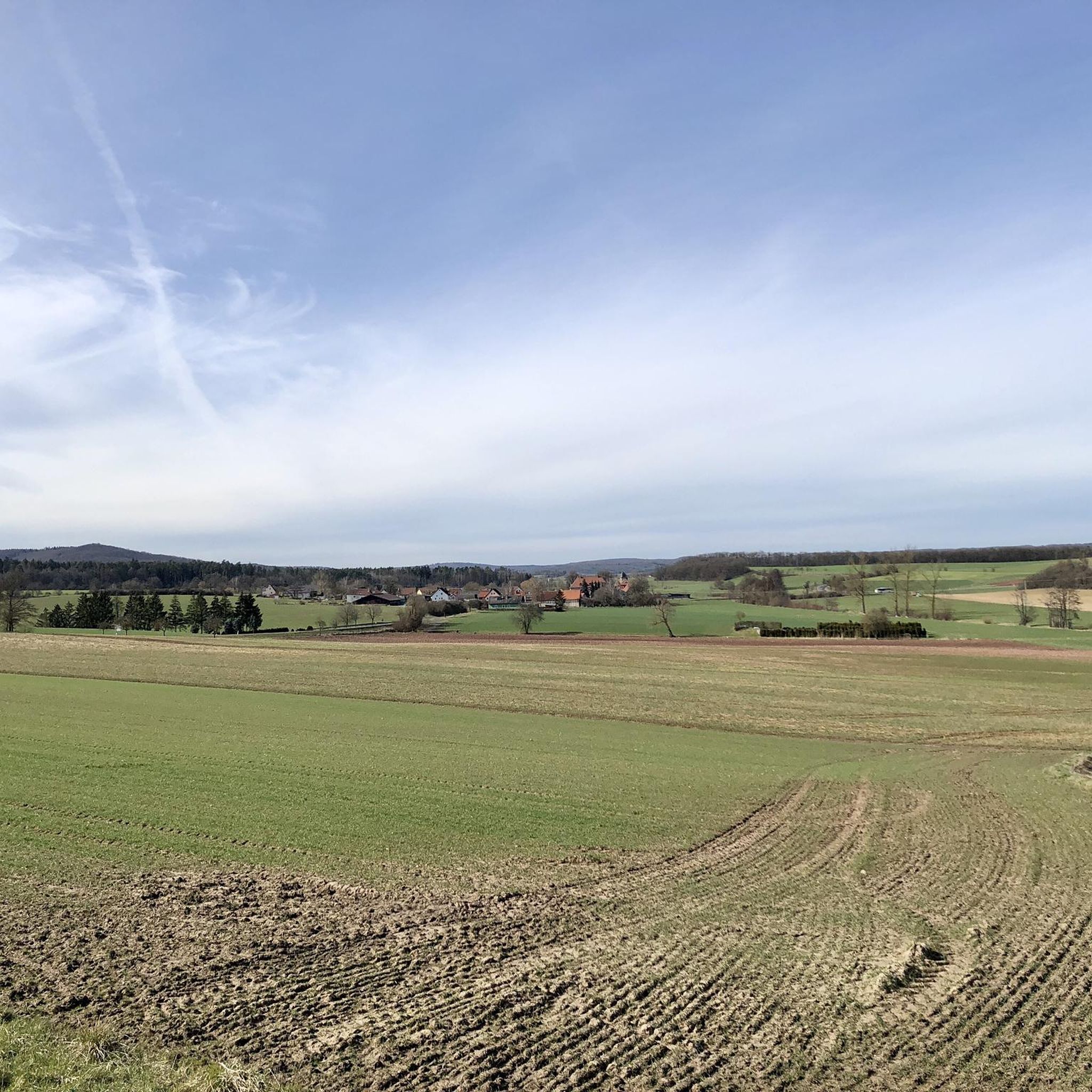
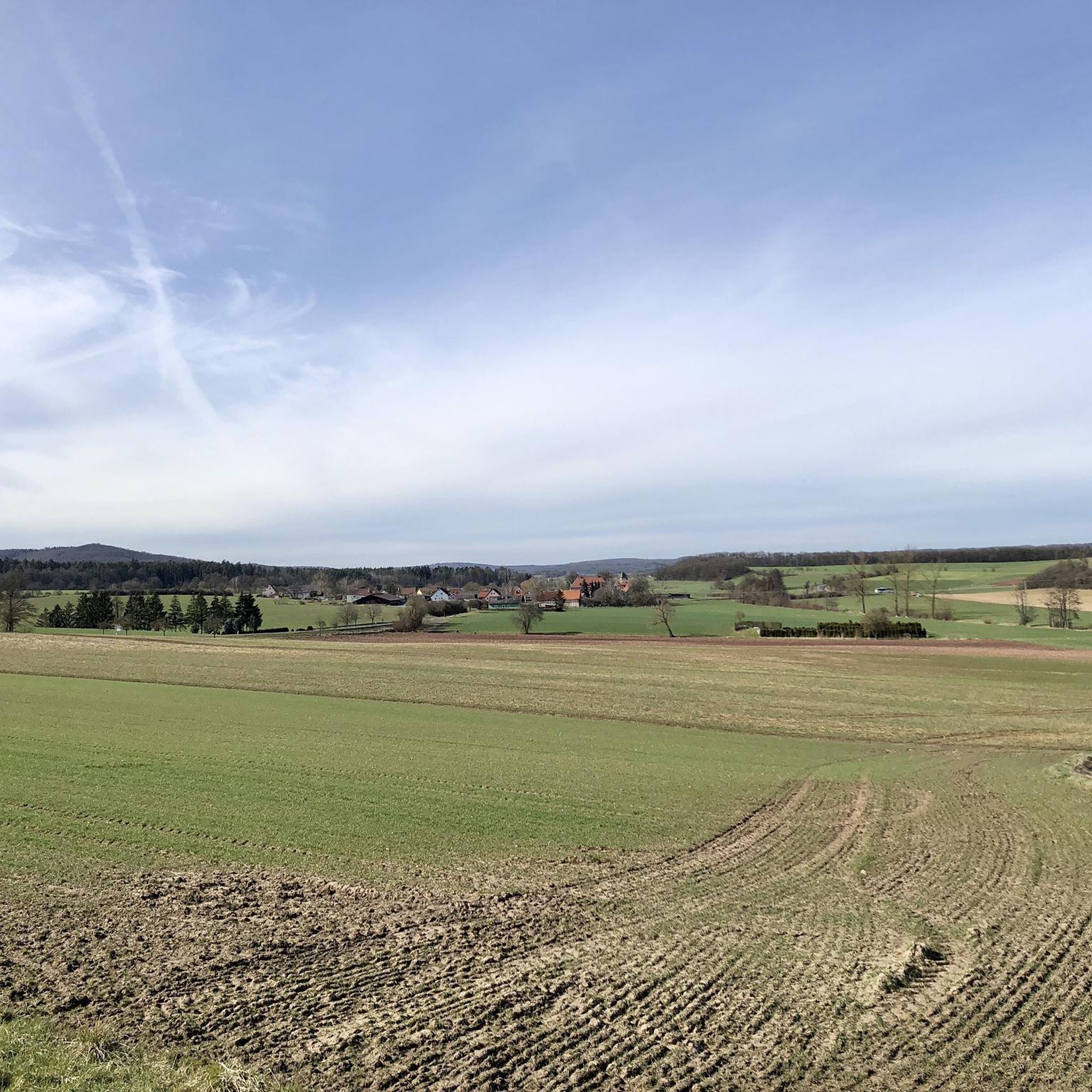
ここに到着すると、ハスベルゲの素晴らしい景色を眺めることができます。
0
0

A journey into history with lots of information on the panels.
11
0
At 512.2 m above sea level, the Nassacher Höhe is the highest mountain in the Haßberge mountain range on the Rennweg in the Haßberge district of Bavaria. It is located in the Franconian Haßberge Nature Park above Nassach, a district of Aidhausen. The summit lies within the municipality of Hofheim in Lower Franconia.
12
0
The ruins of Bramberg Castle are located within the Haßberge Nature Park on the summit of the 494.3-meter-high Bramberg, an extinct volcanic cone of the Heldburg Gangschar, approximately 2 kilometers northwest of the village of Bramberg, a western district of Ebern, and about 5 kilometers (as the crow flies) northeast of the city of Königsberg in Bavaria. It is surrounded by the Goßmannsdorf Forest. Source and further information: https://de.wikipedia.org/wiki/Burg_Bramberg_(Ha%C3%9Fberge)
12
0
If you've made it this far, nothing can stop you.
13
0


Here you are at one of the two viewpoints on the Zeilberg. Altenstein and the Hassberge can be seen, as can the striking Bramberg. There is a shelter here and you can see the entire mining area.
17
0
ブンドルフでのの人気観光スポット

komootモバイルアプリでインスピレーションを得よう


さらに探索
これらのガイドでさらに素晴らしい頂上を見てみましょうブンドルフでの:
