モンテネグロの絶景の山頂・トップ20
絶景を目指して登るのであれ、達成感のために登るのであれ、山頂を訪れることで、モンテネグロの美しい自然をもっと満喫することができます。20
もの選択肢の中から、制覇する山頂を決めるのは簡単ではありません。スムーズに次の冒険で目指す山頂を選べるように、モンテネグロの素晴らしい山頂をこのガイドにまとめました。
最終更新日: 8月 19, 2026
ロヴチェン山のニェゴシュ霊廟
ハイライト • 記念碑
翻訳者 Google •
役立つ情報 は

ボボトフ・クック山頂へのヴィアフェラータ
ハイライト • 登山
翻訳者 Google •
役立つ情報 は

今すぐサインアップして、こんな場所を発見しよう
最高のシングルトラック、ピーク、その他のエキサイティングなアウトドアスポットのおすすめを受け取ろう。
無料新規登録
プルタシュ山頂
ハイライト • 山頂
翻訳者 Google •
役立つ情報 は

ポパディヤ山頂
ハイライト • 山頂
翻訳者 Google •
役立つ情報 は

クルヴェナ・グレダ稜線、ドルミトル国立公園
ハイライト • 山頂
役立つ情報 は

Ćurevacからのタラ渓谷とドゥルミトル山塊の眺め
ハイライト • 展望台
We hiked with a dog …
役立つ情報 は

ルミヤ山頂と礼拝堂
ハイライト • 山頂
翻訳者 Google •
役立つ情報 は

ボラ・サミット(2106m)
ハイライト • 山頂
翻訳者 Google •
役立つ情報 は

ロヴチェン山登り
ハイライト • 登山
役立つ情報 は

Zla Kolata(2,534m)
ハイライト • 山頂
翻訳者 Google •
役立つ情報 は

無料でサインアップして、さらに多くの山を発見しましょう モンテネグロでの。
無料新規登録
すでにアカウントをお持ちですか?



コミュニティからのヒント

頂上からの素晴らしい眺めです!しかし、西側のTodorov Doからのルートは、非常に急で狭い区間と急な崖があり、間違いなく困難です。一部の区間ではクライミングの経験が必要で、このルートでの下山は現実的ではないようです。 南側のDobri Doからのルートは、登り下りともにずっと良い選択肢のようです。Todorov Doルートは、中級ではなく、間違いなく困難と評価されるべきです。
3
0

The accompanying page in the ARD media library for the television series "Treasures of the World – Heritage of Humanity" states: Rugged peaks marked by glaciers and karst formation, high alpine pastures, and primeval forests characterize a mountain landscape in the far north of the Republic of Montenegro: the Durmitor Massif. Nestled in the mountains are glacial lakes and karst gorges, springs and streams, and rivers roar in wild, inaccessible valleys. The name Durmitor likely originates from the Celtic language and means "Mountains of Many Waters." Interested viewers can access the corresponding film via the following link (duration: 15 minutes / language: German) =>> https://www.ardmediathek.de/video/schaetze-der-welt/nationalpark-durmitor-montenegro-folge-367/3sat/Y3JpZDovL3N3ci5kZS82NjM0ODA4
0
0

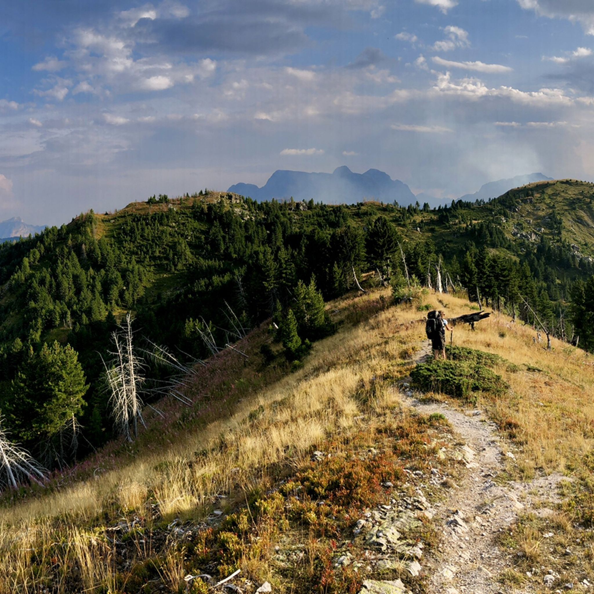
Not a steep summit, but a rounded knoll at the end of a grassy ridge, yet offering the most beautiful view of the peaks of the Prokletije Mountains! In the center: Kollata (2552 m).
0
0
We just completed this hike in early June. The ascent (via Todorov Do) is very technical and challenging for inexperienced hikers (30/40 degree slope, rocky and unstable terrain, some climbing, etc.). The descent (which is actually the ascent to the summit of the other side, which is another hike - a loop with a lake viewpoint, starting from the Dobri Do parking lot) is much simpler. Note that the end of the hike in the plain to return to the car is not at all signposted, the path is not easily visible, and the GPS track does not always match; you are mostly off-piste.
3
3

Beware of clouds and wind which greatly change the difficulty
0
0

The highest peak in Montenegro. When you're there, you can really enjoy the view and the nature. In my case, there weren't many people on the way and it was quiet. I don't find the route strenuous. Only the last hour requires a bit of climbing and walking on steep rocks. In wet weather, there are places that could be slippery and dangerous.
7
0
The ascent via Todorov do is difficult, scree then climbing passages follow one another before reaching the summit. We left the road which comes from Zabljak a few kilometers before this departure. It joins hill 2100, Prutaski do, and the path which goes up to Prutas. This route is much easier. On the other hand, we went down the path that leads to Todorov do. Very uneven route, but which is done with great attention and caution. Around 4h30 with breaks.
2
1
Definitely advise an 8am start from the car park if you wish to avoid traffic jams on the fixed cables at the top. Fixed cables themselves are ok and sections are not difficult, just a little exposed for people without experience.
2
4

komootモバイルアプリでインスピレーションを得よう


さらに探索
これらのガイドでさらに素晴らしい頂上を見てみましょうモンテネグロでの:
