グランカナリア島の湖・トップ20
次の冒険でグランカナリア島の素晴らしい湖を訪れてみませんか?湖畔の穏やかな雰囲気や、天気が良い日のひと泳ぎは格別です。komootコミュニティがおすすめするグランカナリア島の素晴らしい湖の一覧を参考にして、次の冒険では湖をもっと満喫しましょう。
最終更新日: 9月 2, 2026
アヤガウレスダム
ハイライト • 湖
翻訳を表示中
役立つ情報 は

ロス・オルノス・ダム
ハイライト • 湖
翻訳者 Google •
役立つ情報 は

今すぐサインアップして、こんな場所を発見しよう
最高のシングルトラック、ピーク、その他のエキサイティングなアウトドアスポットのおすすめを受け取ろう。
アヤガウレス貯水池
ハイライト • 湖
翻訳者 Google •
役立つ情報 は

チャルコス・アスレス・デ・ロス・アスレホス
ハイライト • 自然記念物
翻訳者 Google •
役立つ情報 は


無料アカウントで今日から始めよう
次の冒険が待っています。
グランカナリア島周辺で人気
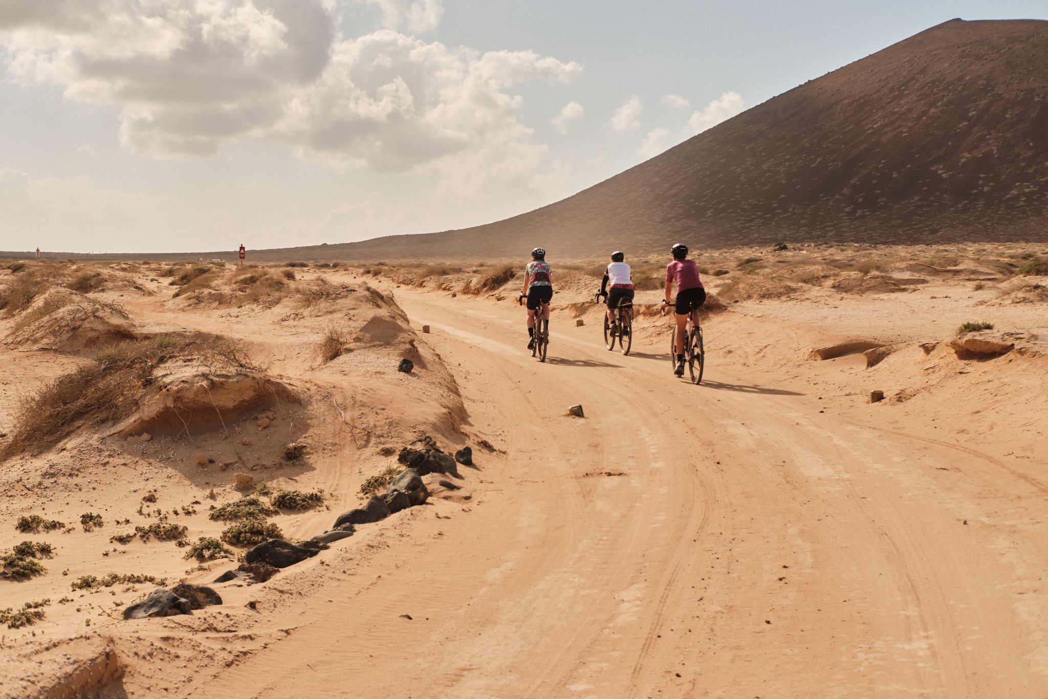
Komoot ウォテムール 2023: GranGuanche サァルチ
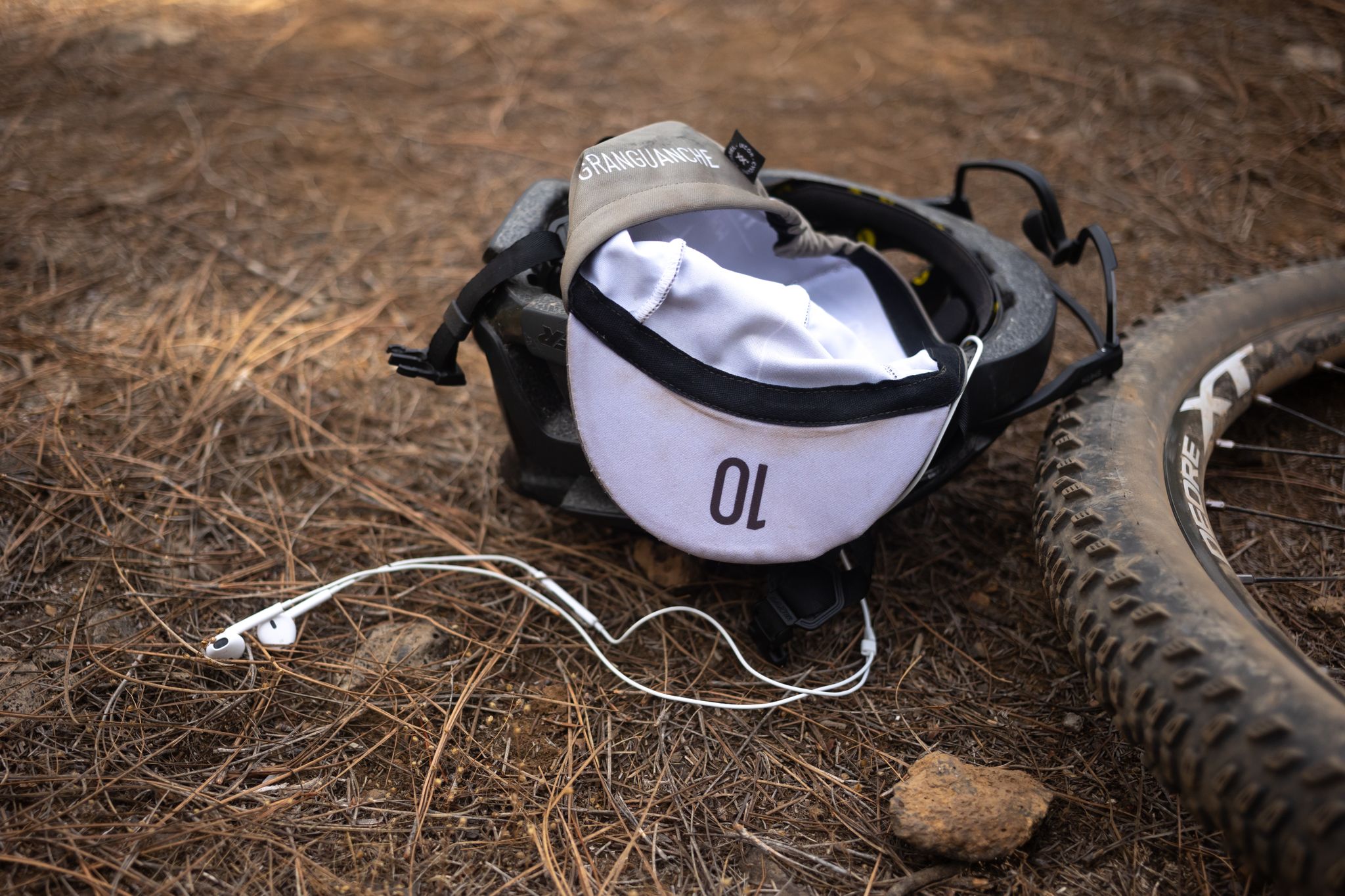
グラングアンチェ オーダックス トレイル – カナリア諸島での初めてのウルトラレース
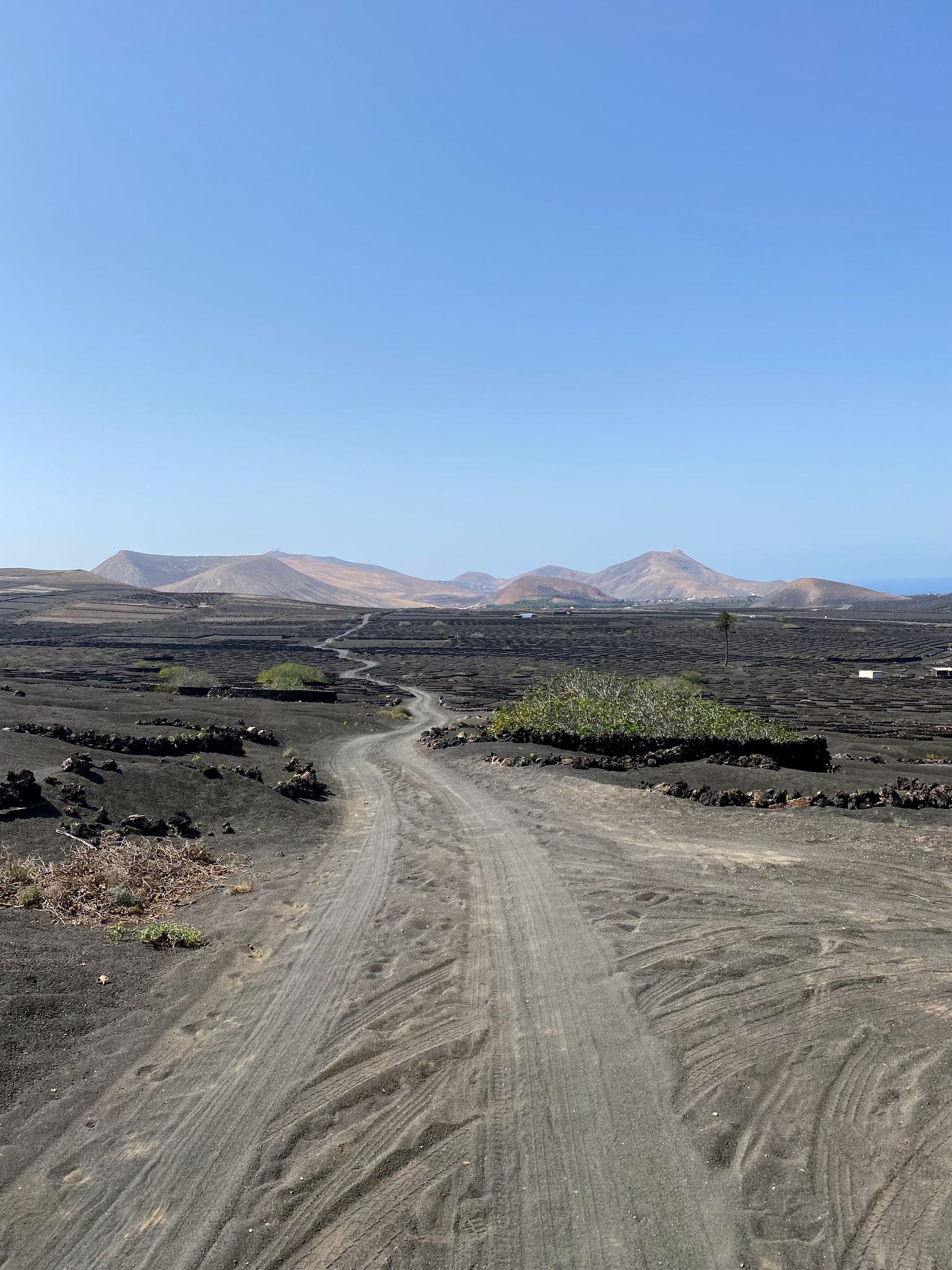
カナリア諸島でのバイクパック - 日光下での驚くべき冒険
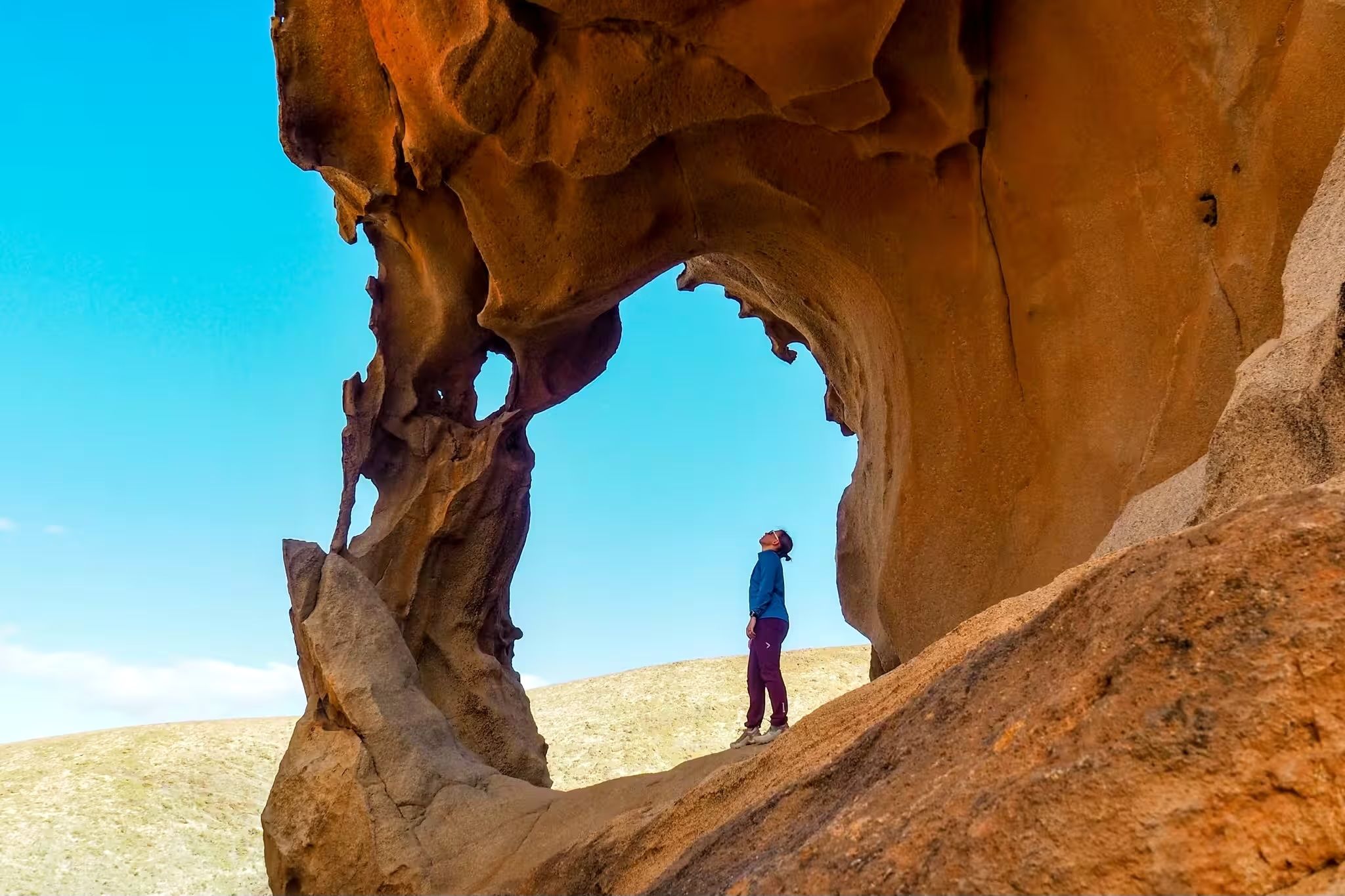
Canary Islands at a slow pace – six hikes immersed in nature

Trail on the Canary Islands – discover the legendary races!
Six fascinating ways to discover the Canary Islands on foot
年のチャレンジ — Transgrancanaria Classic
対比の島 - グランカナリアを横断する

GranGuanche Audax Gravel — 2日半で5つの島
南への脱出 — グランカナリアでロードサイクリング
グランカナリア島でのの他の冒険


コミュニティからのヒント

These "pools" are small holes that sometimes contain a little water. There are also frogs here, so these pools are probably not intended for swimming or suitable if you respect nature - even if the name "pool" used here suggests that.
0
1

The Charcos Azules of Los Azulejos in Veneguera should not be confused with El Charco Azul de Agaete near El Risco. The water has become rare here due to the dry years. The best chance is in spring. If it has rained for a long time, you can enjoy beautiful scenery here, such as water reflections or a refreshing swim. https://saldelatlantico.com/de/excursiones-en-las-islas-canarias/charcos-azules-azulejos-venegueras
1
0

At the very end of the Barranco de la Data gorge lies the small town of Ayagaures and the two reservoirs Presa de Ayagaures
2
0


Be sure to wear hiking boots, it's steep and there are lots of loose rocks along the way. But it's worth the climb.
5
1

In August there is no water to be seen anywhere. Just a few dried edges in the pools. Not recommended at this time of year...
3
0

Los Hornos Dam Viewpoint The Los Hornos Dam or Cumbre Dam has a height of 1,565 meters above sea level. It dates from 1933, but was later enlarged. Made of ordinary masonry, it reached a height of 27 m and had a capacity of 697,000 m3 of water, which flows between ditches and tunnels towards the municipalities of Arucas and San Mateo.
3
1
Los Hornos Dam Viewpoint The Los Hornos Dam or Cumbre Dam has a height of 1,565 meters above sea level. It dates from 1933, but was later enlarged. Made of ordinary masonry, it reached a height of 27 m and had a capacity of 697,000 m3 of water, which flows between ditches and tunnels towards the municipalities of Arucas and San Mateo.
6
0

komootモバイルアプリでインスピレーションを得よう


さらに探索
まだ完璧な湖が見つかりませんかグランカナリア島での?これらの地域のガイドをチェックして、さらに美しい場所を見てみましょう。
