ニートン・アンド・ホイットウェルの絶景の山頂・トップ4
絶景を目指して登るのであれ、達成感のために登るのであれ、山頂を訪れることで、ニートン・アンド・ホイットウェルの美しい自然をもっと満喫することができます。4
もの選択肢の中から、制覇する山頂を決めるのは簡単ではありません。スムーズに次の冒険で目指す山頂を選べるように、ニートン・アンド・ホイットウェルの素晴らしい山頂をこのガイドにまとめました。
最終更新日: 9月 6, 2026
ヴェントナー・ダウンズのバンカー
ハイライト • 記念碑
役立つ情報 は

シャンクリン・ダウン山頂の眺め
ハイライト • 山頂
役立つ情報 は
今すぐサインアップして、こんな場所を発見しよう
最高のシングルトラック、ピーク、その他のエキサイティングなアウトドアスポットのおすすめを受け取ろう。
無料新規登録
リマーストン・ダウン展望台
ハイライト • 展望台
役立つ情報 は
Ventnor Downs
ハイライト • トレイル
役立つ情報 は

セント・ボニファス・ダウンの眺め
ハイライト • 展望台
役立つ情報 は
無料アカウントで今日から始めよう
次の冒険が待っています。
ログインまたは登録
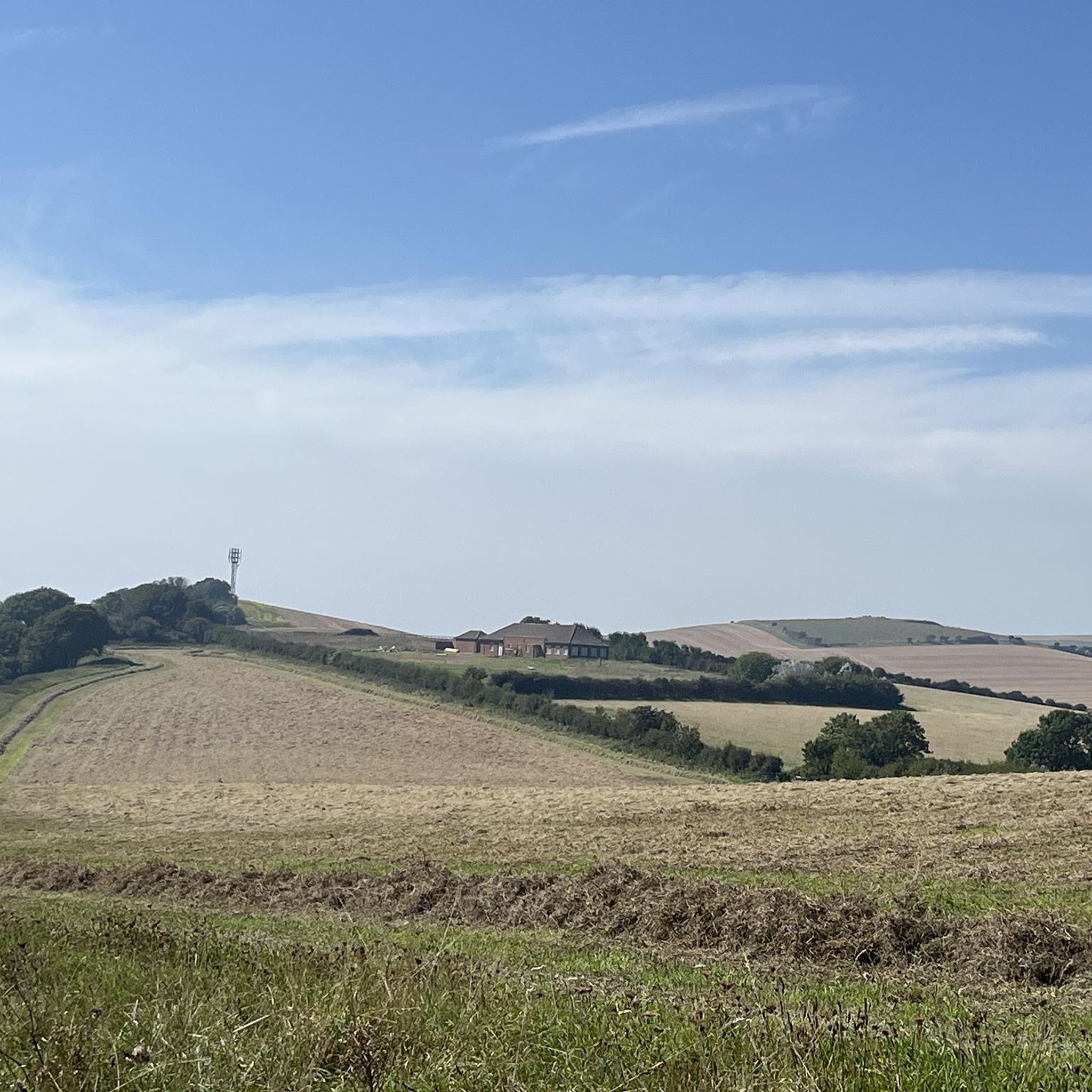
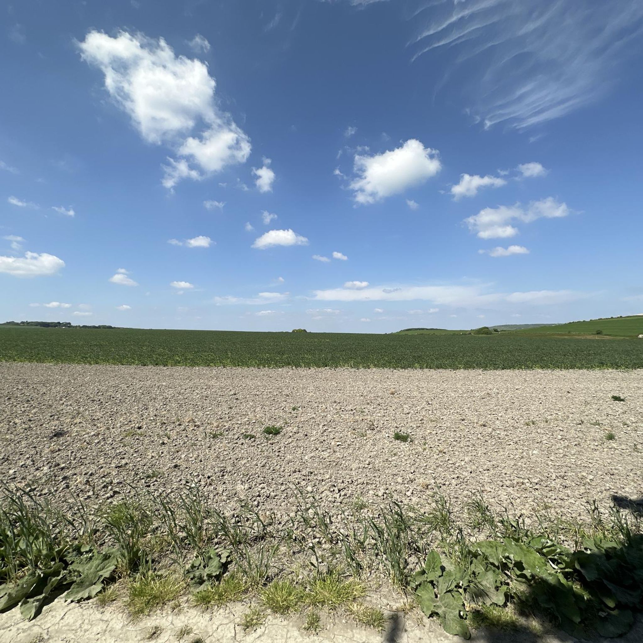
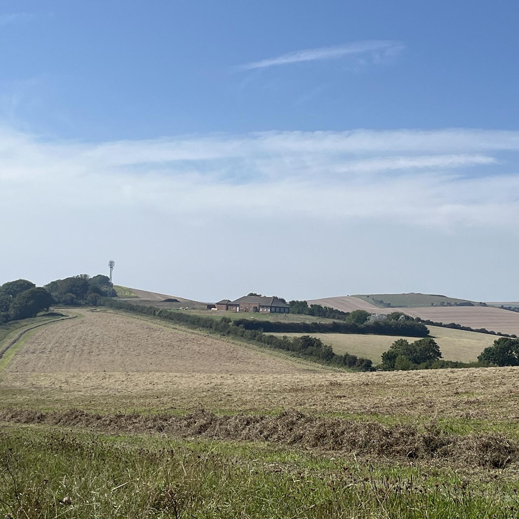
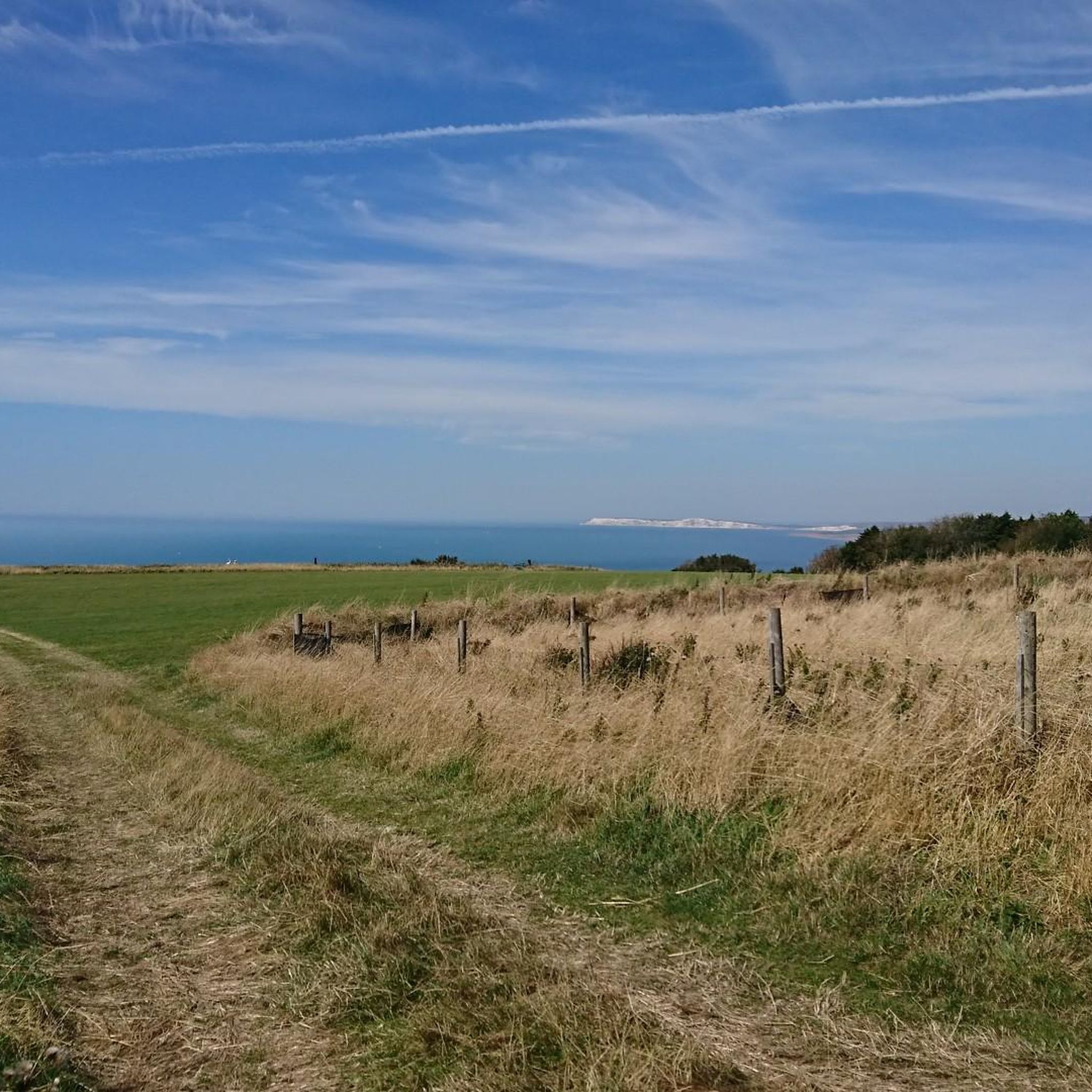
コミュニティからのヒント

Steephill coveへのルートは、急で狭いアスファルトの道を自転車を押して下る必要があります。
0
0

The climb is a bit steep, but the views are expansive, over land and sea. Don't be afraid, just respect the cows, goats, and dogs. Today they were all friendly and well-disposed.
0
0
Great ride with fantastic views. It was a long hard slog up to Hoy Monument, path very narrow, very uneven, I had to push, but well worth it.
0
0
I love running this track with my dogs—it's peaceful, and the views are absolutely breathtaking.
0
0

Ventnor Downs is the group of downs above Ventor which includes St Boniface Down where you can find the highest point on the Isle of Wight. There is a lot of free parking spaces up here and incredible views over the coast so a run around this area is fully recommended.
0
0
It's high, but it's worth the climb. On a good day you can see all the way to the Isle of Portland to the west and even to France to the south. St Boniface Down is home to the highest point on the Isle of Wight. The trig point, just north of here stands at 241m.
0
0
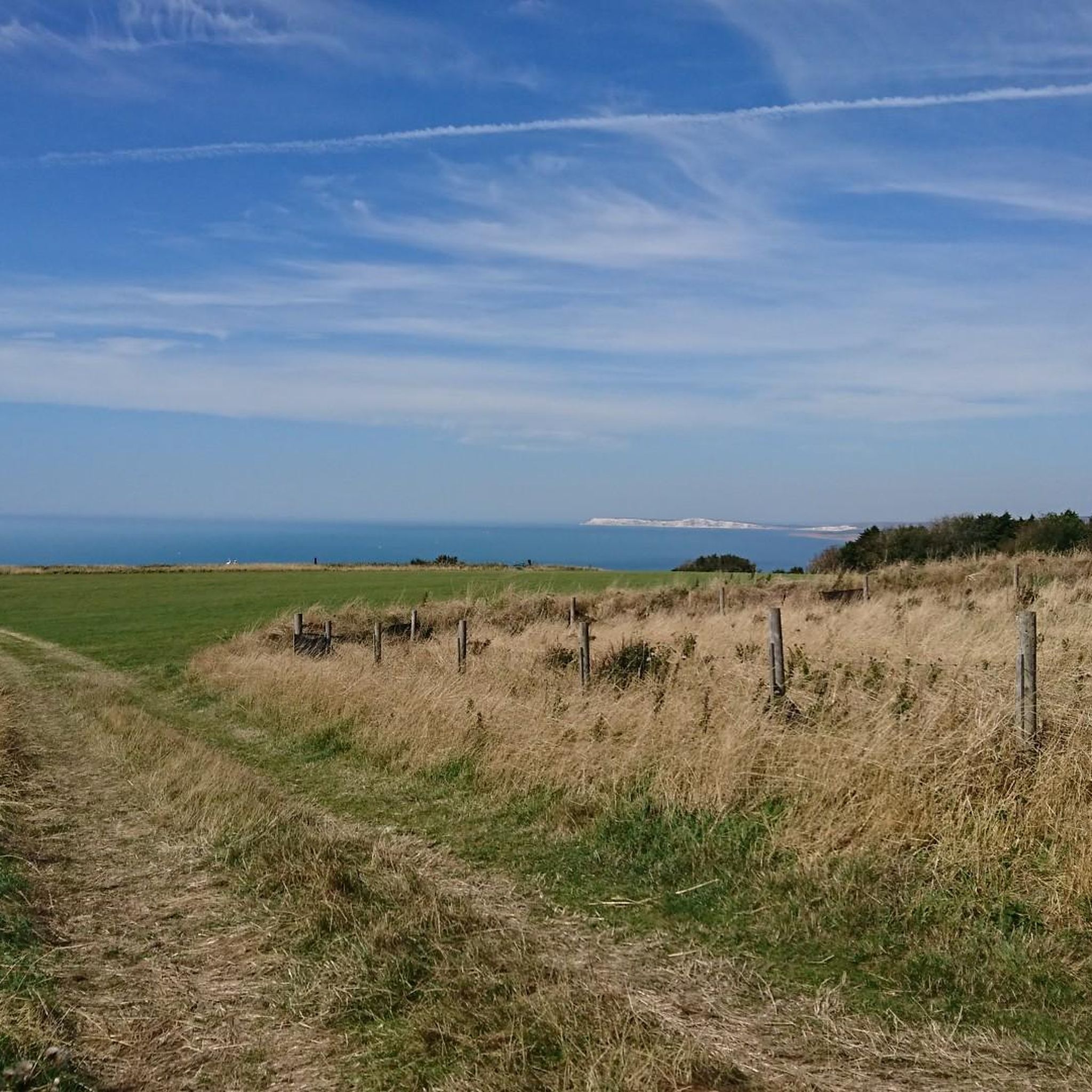
Arguably one of the best views on the Isle of Wight, from Shanklin Down you can see all the way out to the Nab Tower lighthouse in the east, out to the Needles Headland in the west and even over the Solent to the mainland.
0
0
ニートン・アンド・ホイットウェルでのの人気観光スポット

komootモバイルアプリでインスピレーションを得よう


さらに探索
これらのガイドでさらに素晴らしい頂上を見てみましょうニートン・アンド・ホイットウェルでの:
