ラナーの湖・トップ6
次の冒険でラナーの素晴らしい湖を訪れてみませんか?湖畔の穏やかな雰囲気や、天気が良い日のひと泳ぎは格別です。komootコミュニティがおすすめするラナーの素晴らしい湖の一覧を参考にして、次の冒険では湖をもっと満喫しましょう。
最終更新日: 8月 24, 2026
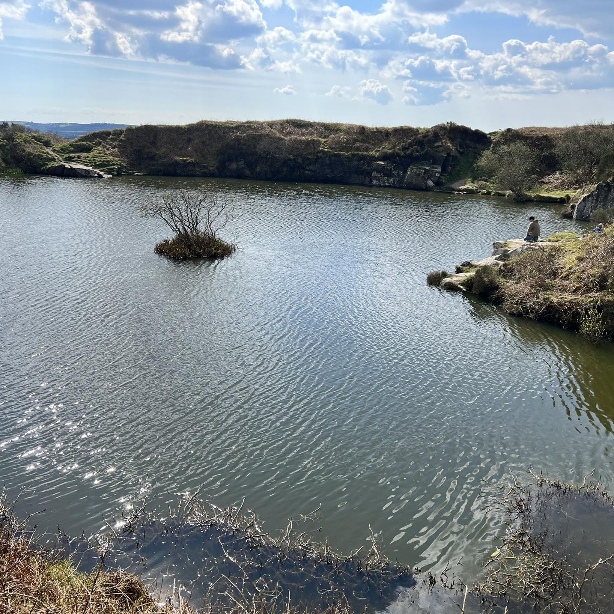
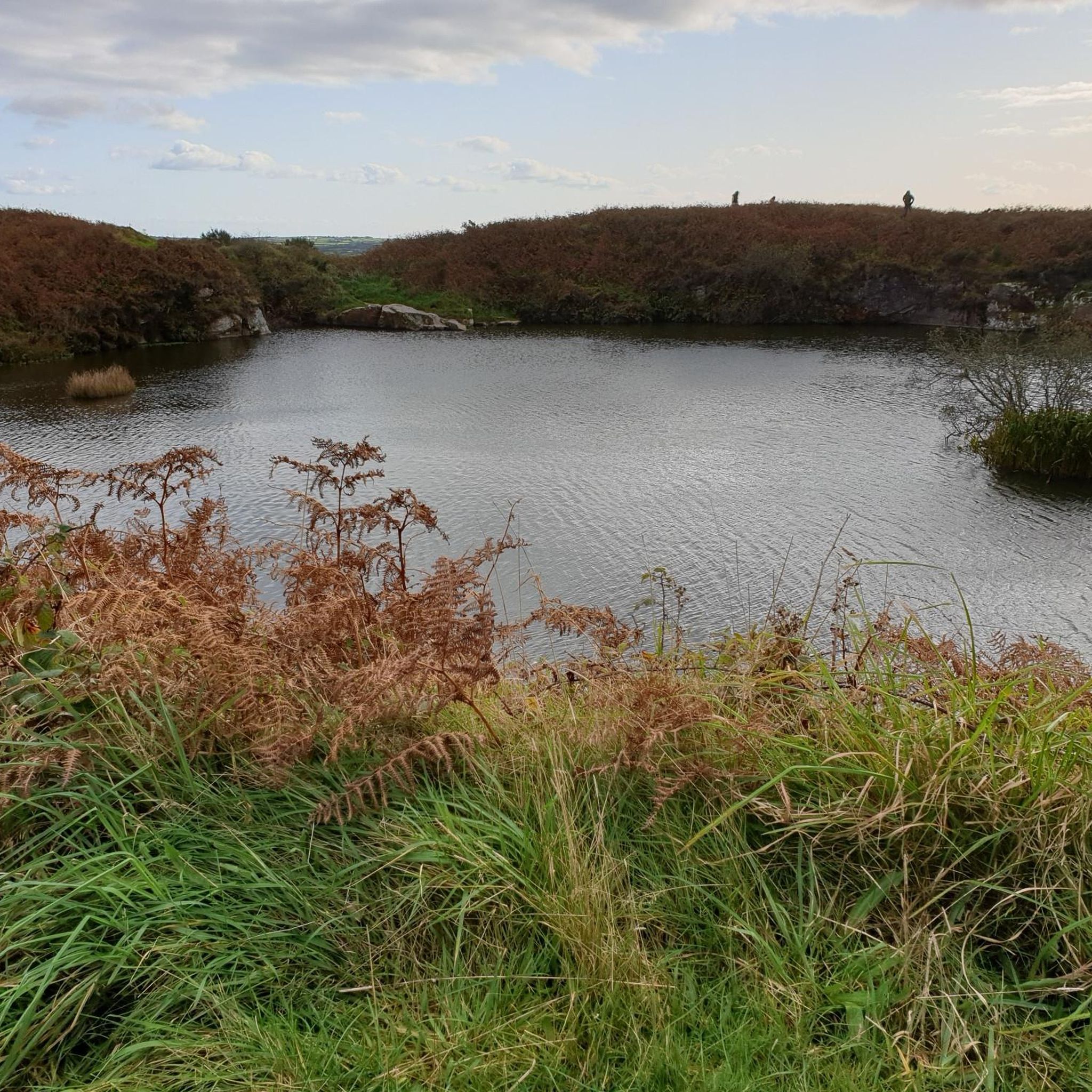
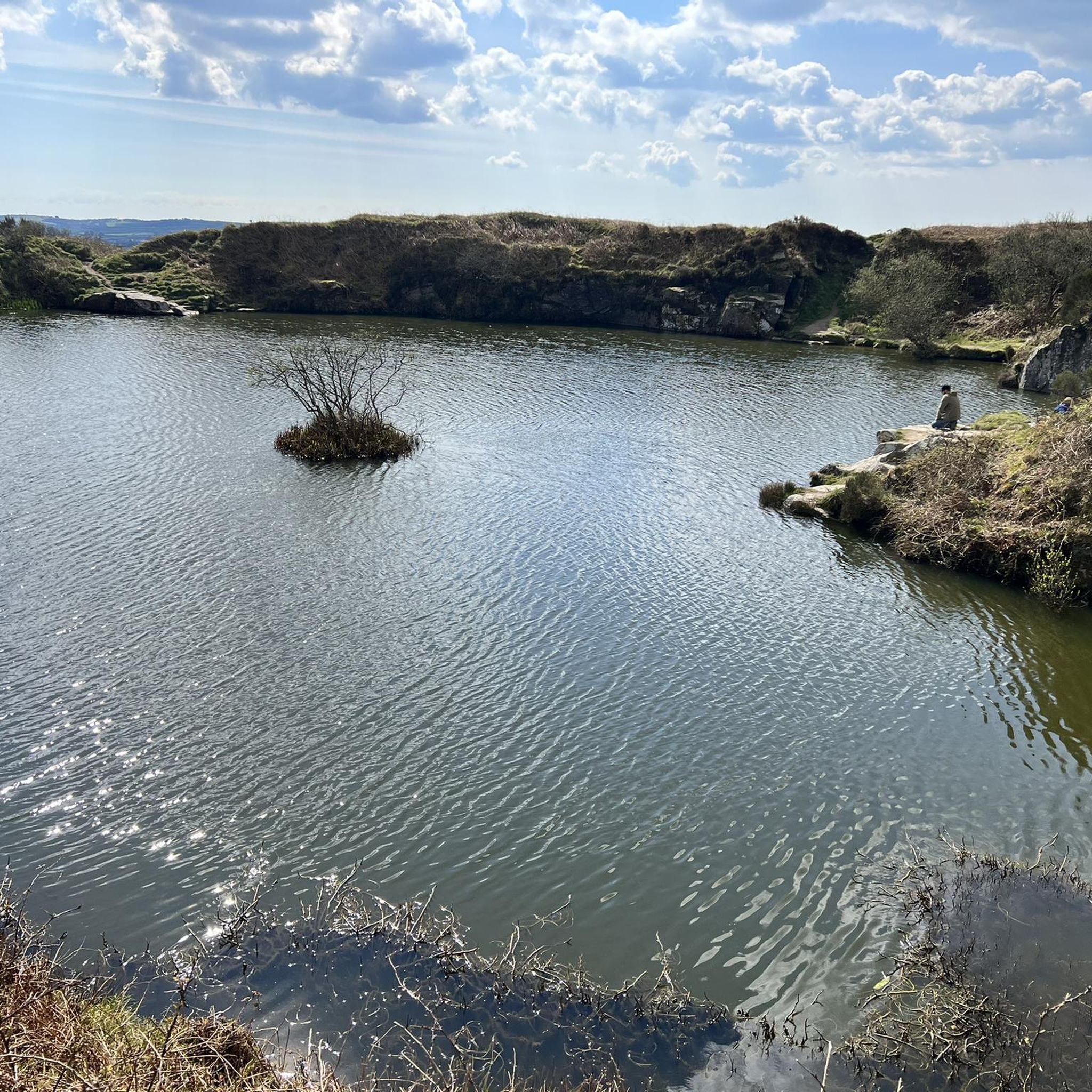
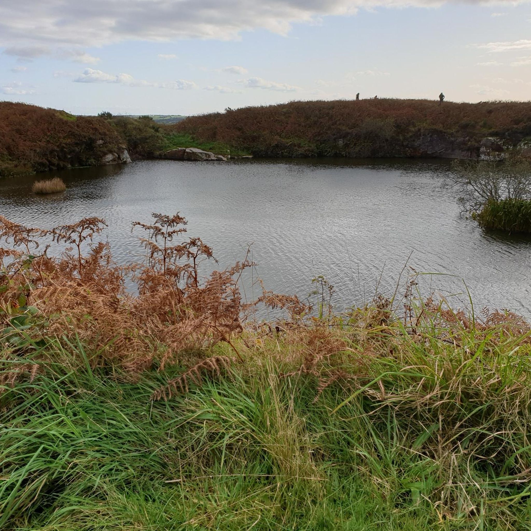
Carn Marth と Hick's Quarry Pool
ハイライト • 展望台
役立つ情報 は

Basset's Cove
ハイライト • 自然記念物
翻訳者 Google •
役立つ情報 は

今すぐサインアップして、こんな場所を発見しよう
最高のシングルトラック、ピーク、その他のエキサイティングなアウトドアスポットのおすすめを受け取ろう。
無料新規登録
スティシアンズ貯水池ダム
ハイライト • 記念碑
役立つ情報 は
ラルフズ・カップボード
ハイライト (セグメント) • 峡谷
翻訳者 Google •
役立つ情報 は
Falmouth Harbour
ハイライト • 構造物
役立つ情報 は

無料でサインアップして、さらに多くの湖を発見しましょう ラナーでの。
無料新規登録
すでにアカウントをお持ちですか?
無料アカウントで今日から始めよう
次の冒険が待っています。
ログインまたは登録

コミュニティからのヒント

Breathtaking views. Especially when combined with the blooming heather!
0
0


Worth climb to the cairn for the downhill section on the main access road. Then drop into single track round the back lanes of Carharrack. Sweet! :)
0
0

Lovely town with lots happening. plenty of places to grab mid ride fuel or snacks for on the road
1
0


The favourable position of the natural harbour between Falmouth Bay and the long stretched out bay of Carrick Roads as an anchorage made the small town of Falmouth the most important port in the British Isles alongside London during the sailing ship era.
0
0

Great view from the dam across the reservoir towards Carn Menellis
0
0

The 7.3 km long circular route takes you back to a time when Cornwall was covered by sea and then became a Europe-wide mountain range. The sedimentary rocks of this area around Portreath were deposited in a deep marine environment during the Devonian age (ca. 393 - 373 million years): Greywacken: Gray rock with fine to coarse grains (0.3 - 2 mm; 0.01 - 0.08 inch), consisting of quartz, feldspars and fragments of foreign rocks. In some cases, shiny/shimmering components can be seen (mica), the rocks form layers and banks. Siltstones: Light gray rock with fine grains (<0.063 mm; <0.002 inch) that are not visible to the naked eye. Layers can be recognized based on the color difference. Slate: Gray to black, sometimes slightly red to greenish colored rocks with very fine grains (<0.02 mm, <0.001 inch), the rocks appear foliated with very thin layers, often alternating with greywackes. The originally horizontal sedimentary layers of Cornwall were tectonically overprinted around 323 - 299 million years ago during the Variscan orogeny (mountain formation). During this time, the southern major continent Gondwana collided with the northern major continents Laurentia and Baltica as well as smaller continent fragments (terranes) such as Avalonia and Amorica. The orogeny ended approximately 270 million years ago with the formation of the supercontinent Pangea. Due to the pressure from the south, the sedimentary rocks were compressed, folded and internally transformed under increasing temperatures. This is how slates emerged from the original claystones. There are no deposits in the area for the period between the formation of the Devonian rocks until 3 million years ago. During the Ice Age 3 million years ago, the region of modern-day Cornwall lay in a tundra area south of the glaciers that covered the Northern Hemisphere. Periglacial deposits from this period can be observed on the cliffs.
0
0
ラナーでのの人気観光スポット

komootモバイルアプリでインスピレーションを得よう


さらに探索
まだ完璧な湖が見つかりませんかラナーでの?これらの地域のガイドをチェックして、さらに美しい場所を見てみましょう。
