ムルデンハンマーの天然記念物・トップ20
ムルデンハンマーが誇る美しい風景を見てみたいなら、ムルデンハンマーの素晴らしい天然記念物・トップ20
に行ってみましょう。あなたにぴったりの場所が見つかるよう、素晴らしい天然記念物を探索するために必要なすべての情報を集めました。次のアウトドアの冒険に出かける計画の参考にしましょう。
最終更新日: 9月 2, 2026
ブラウエンタールの滝
ハイライト • 滝
"After the First World War, the owner of the Toellische paper factory had a new …
翻訳者 Google •
役立つ情報 は

ファルケンシュタインダム
ハイライト • 湖
翻訳者 Google •
役立つ情報 は

今すぐサインアップして、こんな場所を発見しよう
最高のシングルトラック、ピーク、その他のエキサイティングなアウトドアスポットのおすすめを受け取ろう。
無料新規登録
カールスフェルトダム(ヴィルツシュダム)
ハイライト • 湖
翻訳者 Google •
役立つ情報 は

フォークトラント湖の南岸
ハイライト • 湖
翻訳者 Google •
役立つ情報 は

トイフェルシュタイン(直訳:悪魔の石)
ハイライト • 自然記念物
翻訳者 Google •
役立つ情報 は

無料でサインアップして、さらに多くの自然記念物を発見しましょう ムルデンハンマーでの。
無料新規登録
すでにアカウントをお持ちですか?


コミュニティからのヒント

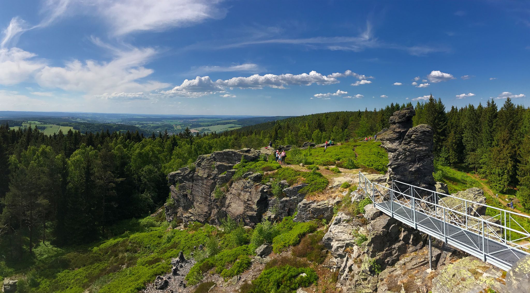
In the upper Steinbach Valley near Johanngeorgenstadt, the imposing Devil's Stones rise up to 35 meters high from the forest. The rounded granite rocks were formed by natural weathering and are now a popular destination for hikers and climbers. A nature trail leads past them and offers fascinating information about the region's geology and wildlife. The surrounding area is tranquil, well-developed, and ideal for a family-friendly hike. A true highlight in the Ore Mountains – mystical, striking, and steeped in history.
3
0

☆ The construction time is remarkable... 👍
4
0
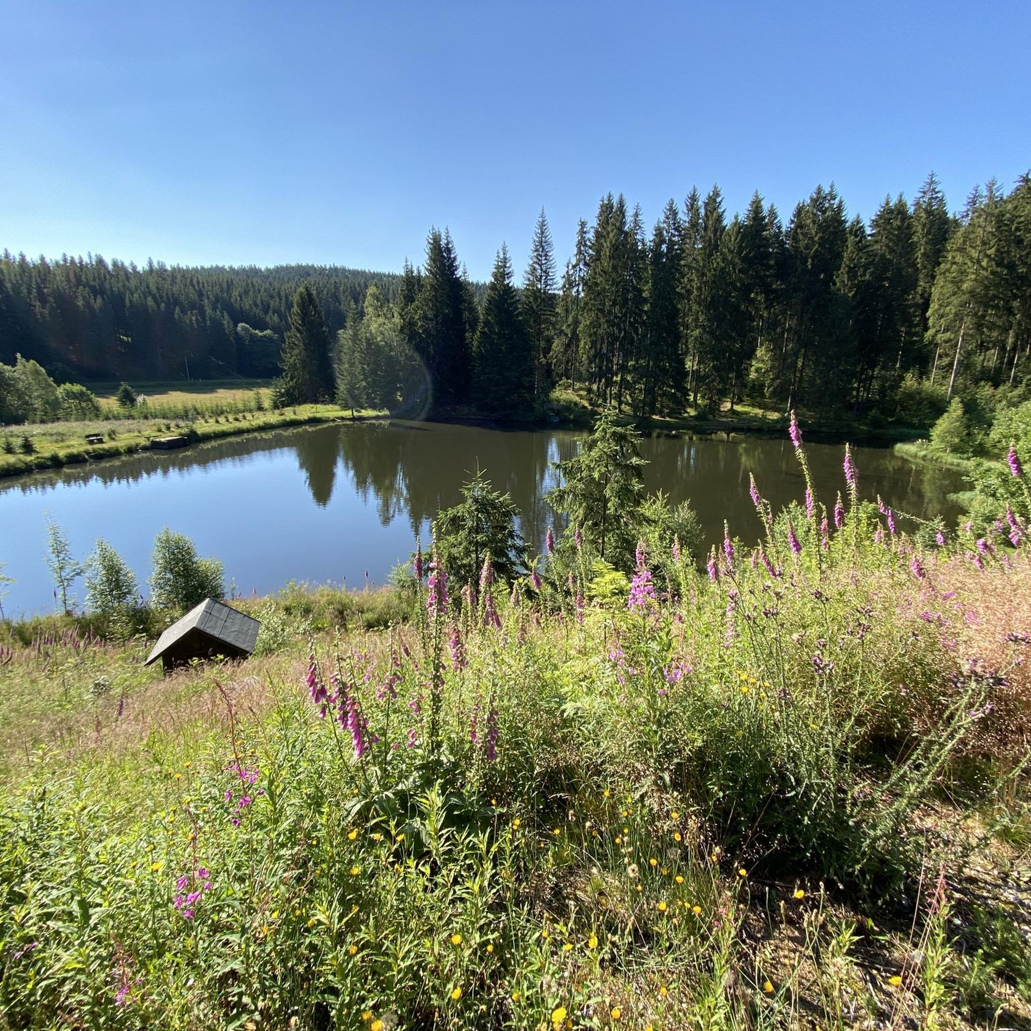
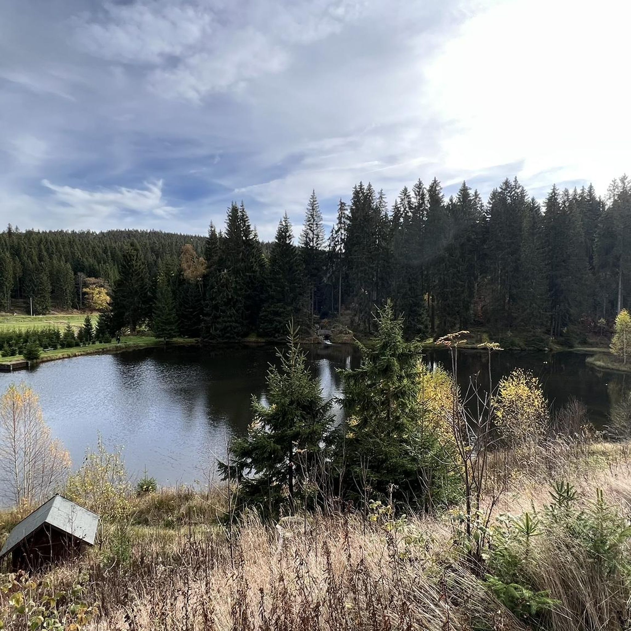
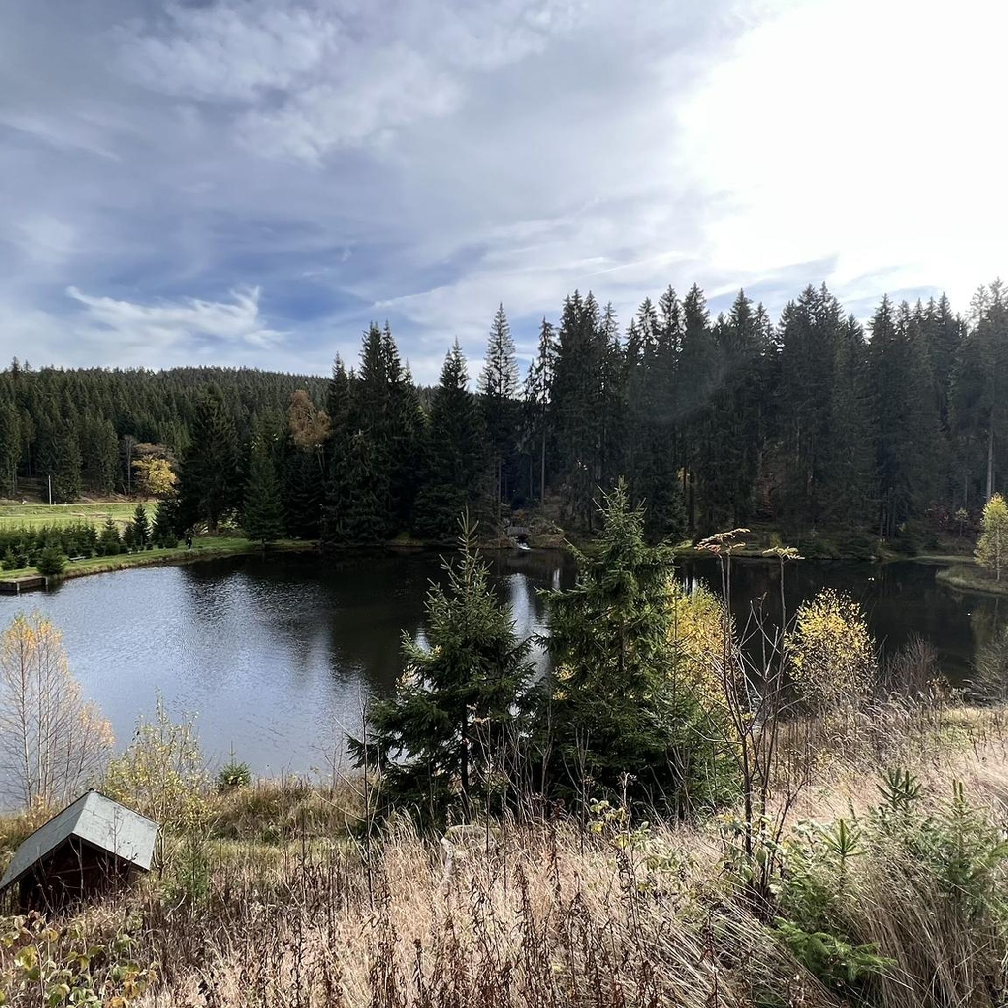
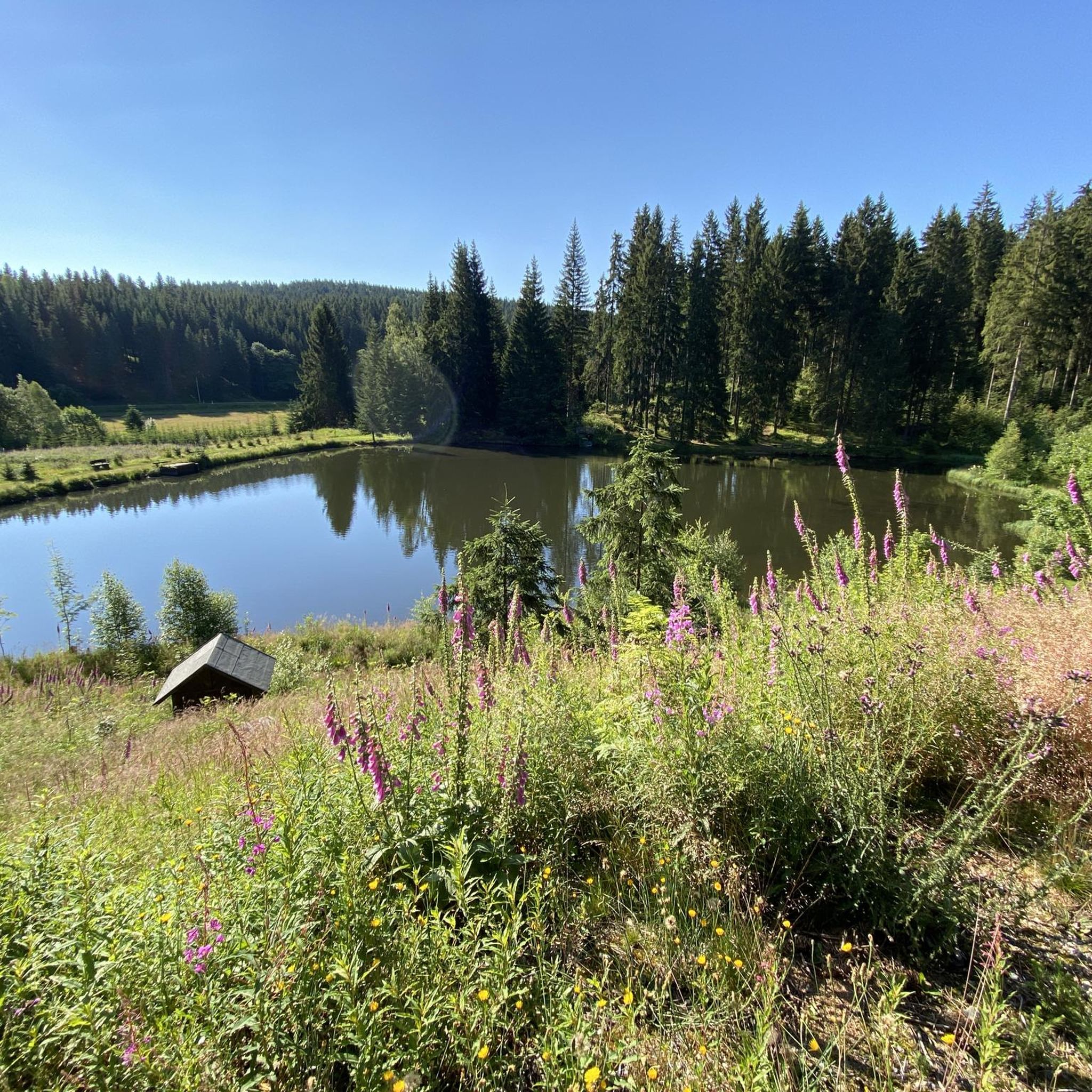
☆ With a small island and a small ferry to pull you to the other shore.
3
1

The largest waterfall in Saxony and one of the highest German waterfalls outside the Alps is located in the immediate vicinity of Blauenthal. This former site of a flour and board mill was bought by Andreas Blau around 1530 and converted into a hammer mill. After the First World War, the owner of the paper factory had a new ditch dug above a steep rock face in order to use the water to drive his turbines. On Sundays and public holidays, the machines stood still and the water rushed down into the valley.
11
1

In, on, and around the dam. There's something for everyone. The kiosk/bistro is highly recommended.
2
0

The dam wall of the Carlsfeld dam is a listed building. The curved gravity dam wall made of rubble stone is 195 meters long and up to 20 meters wide at the base. Its height above the foundation base is almost 32 meters. The dam axis has a radius of 160 meters. Source: https://www.wasserwirtschaft.sachsen.de/TS_Carlsfeld.html?_cp=%7B%22accordion-content-13266%22%3A%7B%222%22%3Atrue%2C%223%22%3Atrue%7D%2C%22previousOpen%22%3A%7B%22group%22%3A%22accordion-content-13266%22%2C%22idx%22%3A3%7D%7D
4
0

The Carlsfeld Dam is located on the ridge of the Ore Mountains at a height of around 905 meters above sea level. This makes it the highest drinking water dam in Germany. Its catchment area extends into the Vogtland and the Czech Republic. The Carlsfeld Dam is sometimes also called the "Wilzsch Dam" or "Weiterwiese Dam". The first name refers to the Wilzsch River, whose water it dams. Weiterswiese was the name of a small forest settlement that had to make way for the dam to be built.
4
0
The Teufelssteine (often incorrectly referred to as Teufelstein) are a rock formation up to 35 meters high at 750 m above sea level in the upper Erzgebirge. The rocks, known for their climbing routes, are located in the north of the town of Johanngeorgenstadt in the Erzgebirgskreis district of Saxony, Germany. The Teufelssteine are located in the valley of the Steinbach, north of the districts of Steinbach and Neustadt, which belong to Johanngeorgenstadt. In terms of natural space, they are in the east of the Western Erzgebirge, whose eastern border is the Schwarzwasser. The Teufelssteine are located in the area of the "Steinbachtal nature trail". They can be reached via the "Steinbachweg" and the "Schimmelgut" from the direction of Steinbach, the "Kanzelstein circular hiking trail" or the "Graupnerweg" from the direction of Erlabrunn. Source: https://www.erlabrunnerzgebirge.de/sehenswuerdigkeiten_erlabrunn/
3
0

komootモバイルアプリでインスピレーションを得よう


さらに探索
これらのガイドで、最高の洞窟を探す範囲を広げましょうムルデンハンマーでの:
