ルート

プランナー

機能

アップデート

App

ログインまたはサインアップ

アプリを入手

ログインまたはサインアップ

ルート
Places to see
Mountain Peaks
ドイツ
ラインラントプファルツ州
フルカナイフェル

インメラート

インメラートの絶景の山頂・トップ5


絶景を目指して登るのであれ、達成感のために登るのであれ、山頂を訪れることで、インメラートの美しい自然をもっと満喫することができます。5
もの選択肢の中から、制覇する山頂を決めるのは簡単ではありません。スムーズに次の冒険で目指す山頂を選べるように、インメラートの素晴らしい山頂をこのガイドにまとめました。

最終更新日: 7月 22, 2026

カールモント山頂の十字架から眺めるモーゼル川の蛇行

ハイライト • 展望台

On weekends and public holidays, wine from Calmont and cake are served here. Tastes great, after you have the via ferrata behind you.

翻訳者 Google •

役立つ情報

によるものです

ここでのライドを見る

スマートフォンに送信

保存

メウゼベルクのドロンケ塔

ハイライト • 展望台

From the parking lot between the Weinfelder Maar and the Schalkenmehrener Maar, a path climbs uphill to the Dronketurm on äumeberg. There you have a panoramic view that extends as …

翻訳者 Google •

役立つ情報

によるものです

保存

今すぐサインアップして、こんな場所を発見しよう

最高のシングルトラック、ピーク、その他のエキサイティングなアウトドアスポットのおすすめを受け取ろう。

無料新規登録

From this vantage point you have one of the best valley views of the Moselle loop.

翻訳者 Google •

役立つ情報

によるものです

保存

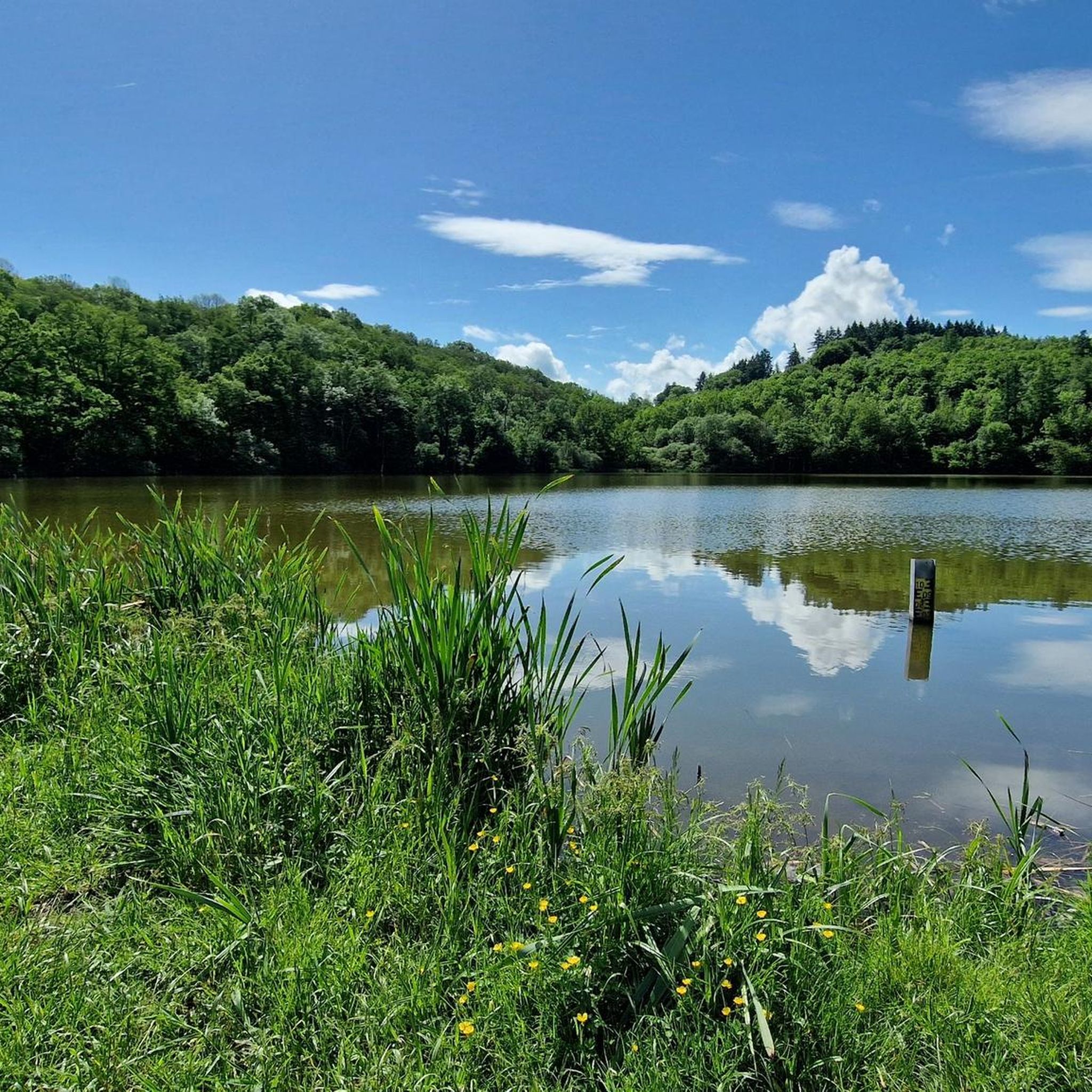
Although the current location of the Maar Cross is no longer the original one, it offers hikers a relaxing place to rest and a fantastic view of the Schalkenmehrener Maar …

翻訳者 Google •

役立つ情報

によるものです

保存

From Beuren you can get to the summit cross very quickly and enjoy this ingenious panoramic view. Then I recommend going over the mountain ridge to the mountain sanctuary to …

翻訳者 Google •

役立つ情報

によるものです

保存

無料アカウントで今日から始めよう

次の冒険が待っています。

ログインまたは登録

インメラート周辺で人気

Excellent paths in the Vulkaneifel – Explore the HeimatSpuren

インメラートのMTBトレイル

インメラートのランニングコース

インメラートでのハイキング

インメラートのロードバイクルート

インメラートでのサイクリング

インメラートでののグラベルライド

インメラートでのの他の冒険

Excellent paths in the Vulkaneifel – Explore the HeimatSpuren

ハイキングのコレクション によって

GesundLand Vulkaneifel

コミュニティからのヒント

Bernd 🌲🦌🍄🥾
6月 13, 2023, Panoramic View of the Moselle Bend Below the Calmont Summit

From this vantage point you have one of the best valley views of the Moselle loop.

Google翻訳による翻訳

75

0

The Calmont is a prominent peak on the Moselle. The highest elevation is 380 meters high. Interestingly, the Calmont summit cross is not at the highest point, but below it. This may be because the Calmont is a ridge above the Moselle. The location of the summit cross offers a prominent view of the Moselle - better than from the highest point. Therefore, the summit cross makes much more sense at this point. Source: https://www.calmont-klettersteig-moselschleife.de/calmont/

Google翻訳による翻訳

77

0

It is particularly beautiful in October when the leaves change color. Shortly after 10 a.m. we walked from Eidiger-Eller, first over the Todesangst and the Höhenweg, so we were above the Moselle loop at the right time. There is a rest area with a bench, from where we could watch how the fog revealed the colorful landscape.

Google翻訳による翻訳

12

0

Beautiful hiking tour with a view of the Moselle loop. 😍

Google翻訳による翻訳

12

0

You can also enjoy the view without hiking up. Drive up with the car. Drive quite far, then comes a gravel road, this approx. 2km comes a parking lot for hikers. From there it is not far to the summit cross and Vierseenblick. Together about 2km. Above are great wide hiking trails. Well suited for beginners. Then down to Bremm where the second vantage point is easily accessible on foot. So everyone has something.

Google翻訳による翻訳

13

0

Even if you don't quite see the Moselle loop, the place or the view is phenomenal.

Google翻訳による翻訳

24

0

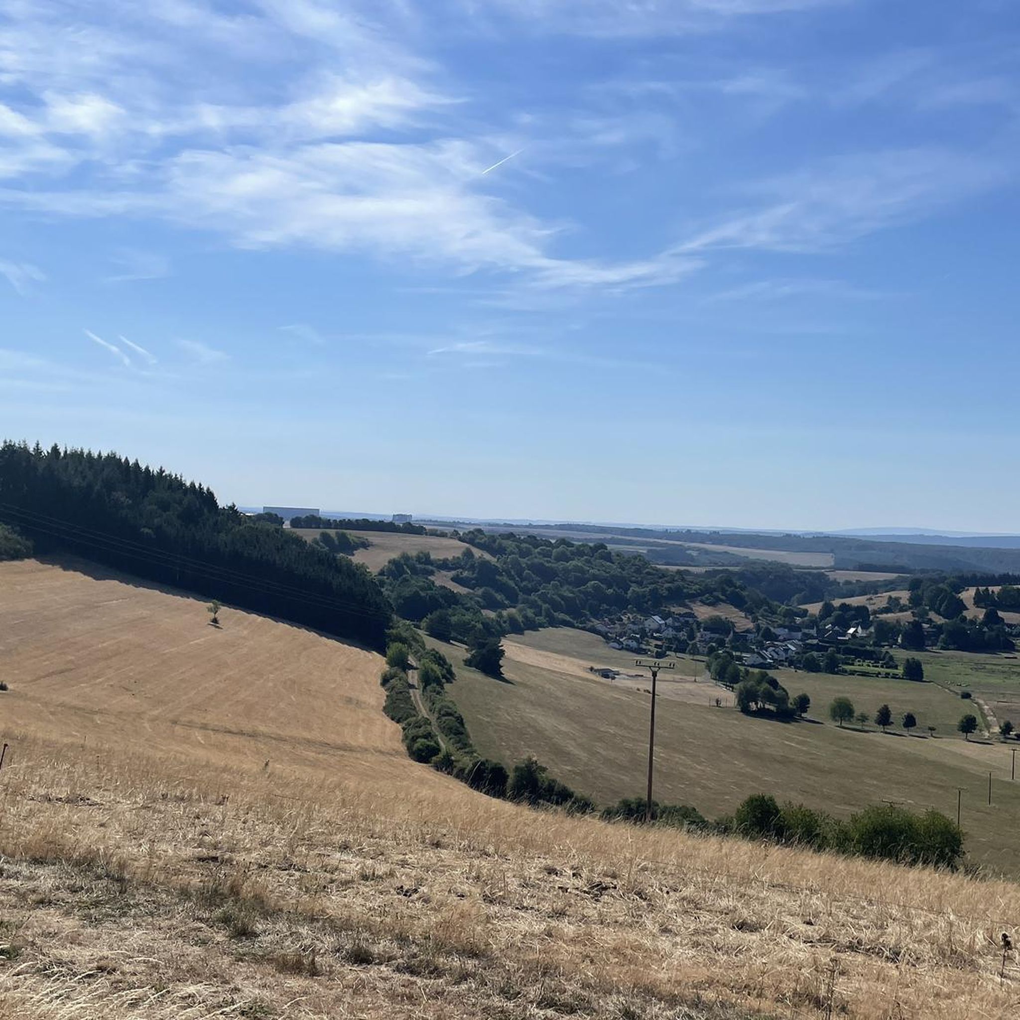
Nice view with markers for orientation. The tower, which was built in 1902, is only 11m high, but stands on top of the 560m high Mauseberg and is thus 166m above the Gemünder Maar, guaranteeing a magnificent view of the surrounding area.

Google翻訳による翻訳

14

0

展望板があり、方角を知るのに役立つ美しい眺めです。1902年に建てられた塔は高さわずか11メートルですが、標高560メートルのMäusebergの頂上にあり、Gemünder Maarより166メートル高いため、周囲の素晴らしい景色が保証されています。

Google翻訳による翻訳

19

1

インメラートでのの人気ルート

インメラートの交通量の少ないサイクリング

インメラートでのの人気観光スポット

Places to see

Store rating

komootモバイルアプリでインスピレーションを得よう

無料のkomootアカウントがあれば、無限のアウトドアコースを簡単に見つけてカスタマイズし、ナビで案内できます。

または

今すぐkomootに参加しよう

Store rating

さらに探索

これらのガイドでさらに素晴らしい頂上を見てみましょうインメラートでの:

ダウンヴァレンボルンシュッツオーバーシュタットフェルトニーダーシュタットフェルドウーダースドルフサルムドライス・ブリュックネロートドックワイラーキルヒヴァイラーヒンターヴァイラーペルムシャルケンメーレンゲロルシュタインブレックハウゼンオタククラーデンバッハウドラーヘルシャイトザルマースバッハシュタイニンゲンダルシャイトベッテルドルフカッツヴィンケルブロックシャイトドイデスフェルトロッケスキールドーム・ランマースドルフOberehe-Stroheichビルレスボルンナイヘンホーエンフェルスエッシンゲンフルカナイフェルのベルリンゲンバインハウゼンボンガードウーックスハイムヒレスハイムゲレンベルクケルバーグライメラートブリュックタールドリーズボルラーケルペン(アイフェル)ノンヴェルハラートボーデンバッハキルスバッハヘルシュハウゼンマイスブルクアルバッハビルゲルリッセンドルフバスベルクニッツミュルレンバッハウッツェラートベレーボルンギレンフェルトRetterathモスブルッフウエスオーバーベッティンゲンシュトロッツビュッシュミュッケルンベレンバッハウアースフェルトグンデラートコルヴェラートサッセンケルシェンバッハシュタットキルシュトローンリルシュタルオーバーエルツカペリッヒヴィースバウムカレンボルン・ショエルンシュテッフェルンデンスボルンデメラートシュタインエーベルクハルシュラグホルペラートヘーヒシュトゥベルクケテリヘンオーモントドゥパッハヴィンケル(アイフェル)ユンケラートコップエルシャイトザクスラーシャイドフォイスドルフシュラー

近くのアドベンチャーガイド

ヴィンケル(アイフェル)でやるべきこと

background

新しいピークを征服する準備をしよう

無料でサインアップ

探検する
ルートルートプランナー機能バウチャーを利用ハイキングMTBトレイルロードバイクルートバイクパッキングサイトマップ
アプリをダウンロード
SNSでフォローする

© komoot GmbH

プライバシーポリシー